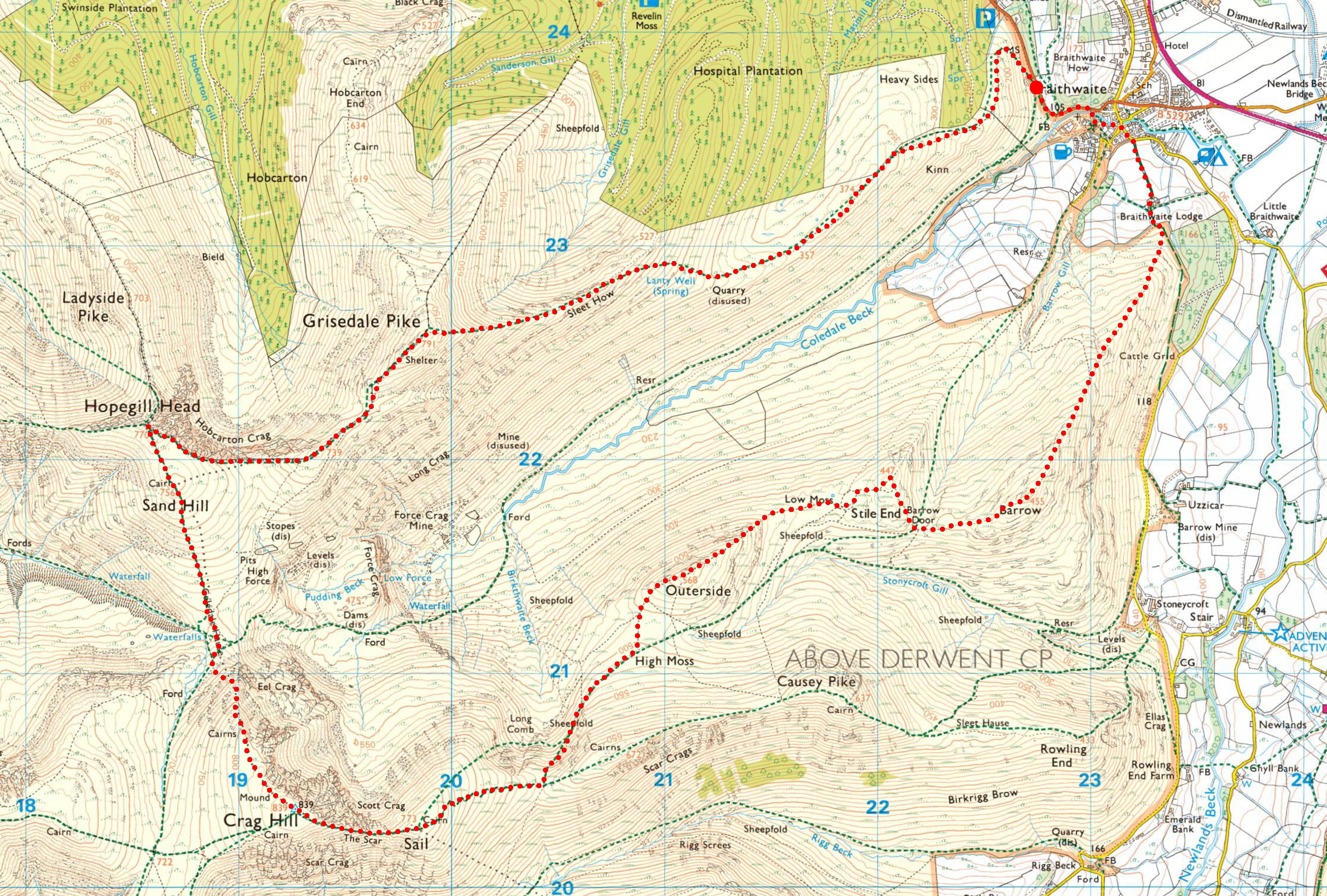
Out of the popular rounds of Lakeland, the Coledale Round is my favourite. That’s not to say it’s my favourite overall; some of the lesser-walked rounds are far more rewarding for scenery, for example. However, when it comes to the joy of elevation and the simple pleasure of ticking off mountain tops, the Coledale Round is hard to beat. In deep winter conditions the Fairfield Round can be a struggle, but the Coledale Round is a delight, offering a route that feels both adventurous and manageable when the snow settles in.
On this occasion we chose to walk the route on a lovely, clear spring day, providing us with more daylight hours to explore the crags and ridges. If you wish, the Coledale Round can be extended by including Grasmoor and Wandope, and a there-and-back diversion to include Scar Crags and Causey Pike — the Coledale Round (Extended) would make a wonderful summer adventure.
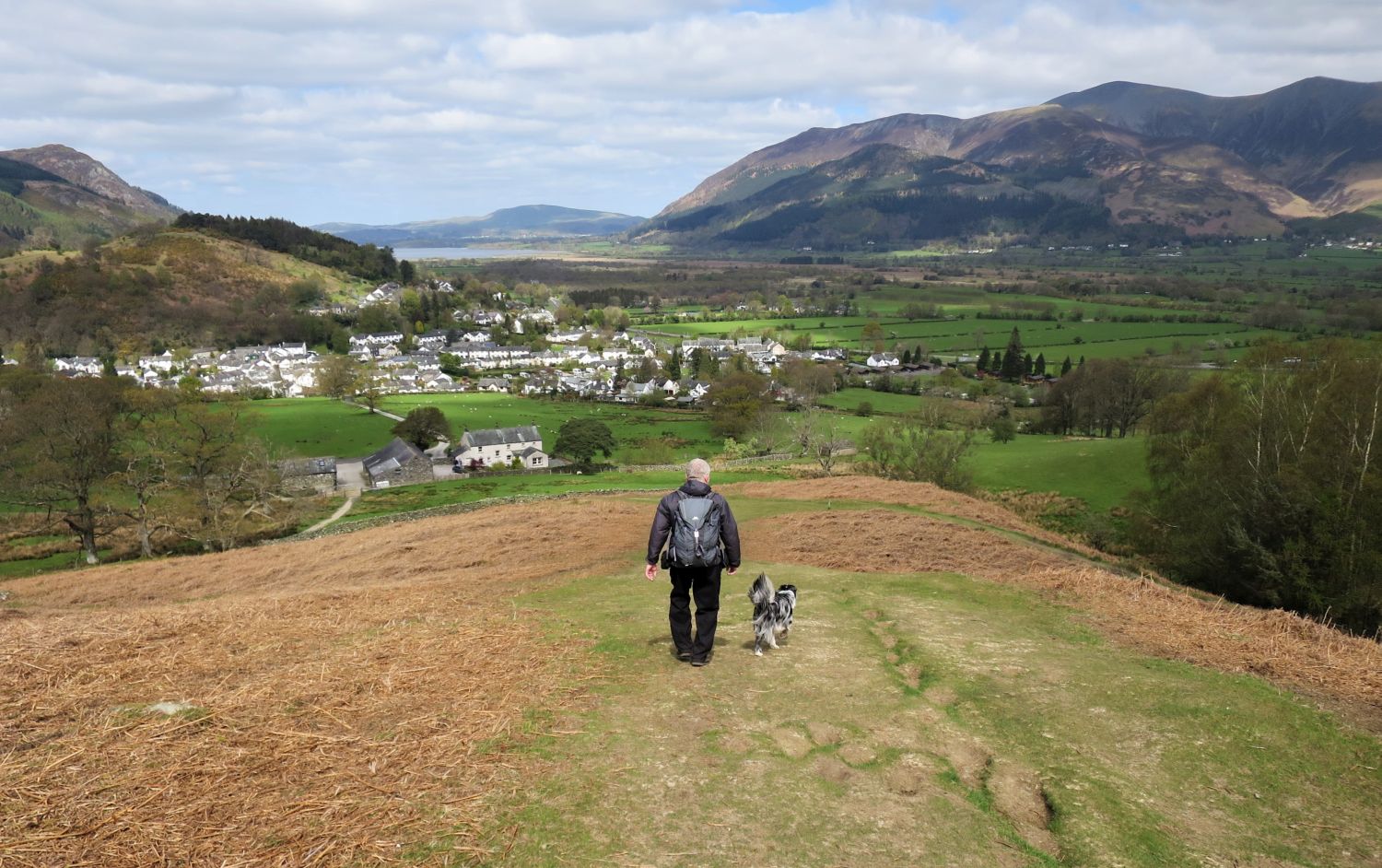
There are a few options for parking in Braithwaite, with roadside spaces in the village and the school offering parking with an honesty box at weekends and during school holidays. There’s also a small car park just off the Whinlatter Pass road, right at the start of the climb up Grisedale Pike, which is perfect if you’re heading anticlockwise. These spaces can fill up quite quickly, especially at weekends or on a crisp winter morning when everyone has the same idea, so it’s best to get there early. Wherever you choose, please respect the residents and their spaces, and park responsibly.
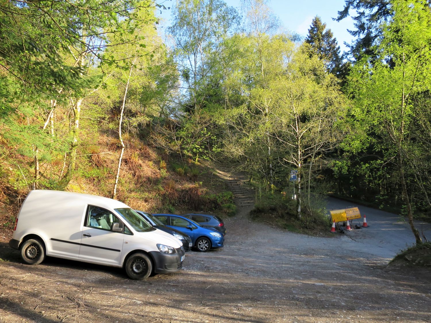
“Maps showing a path going straight up from the seat to the boulder are out of date. The path now leaves from the far end of the car park further up the road.”
Grisedale Pike 8
AW (revised by CJ)

“Excepting Catbells only, Grisedale Pike is probably the most-climbed fell in the north-western area and invariably the ascent is made by the route here depicted. Now that the start has been improved the whole walk is delightful.”
Grisedale Pike 8
AW (revised by CJ)
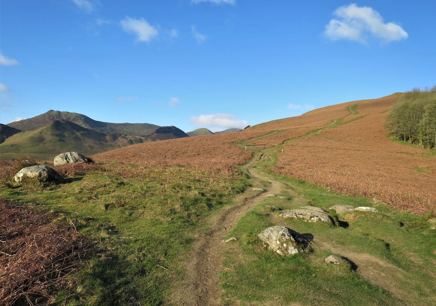
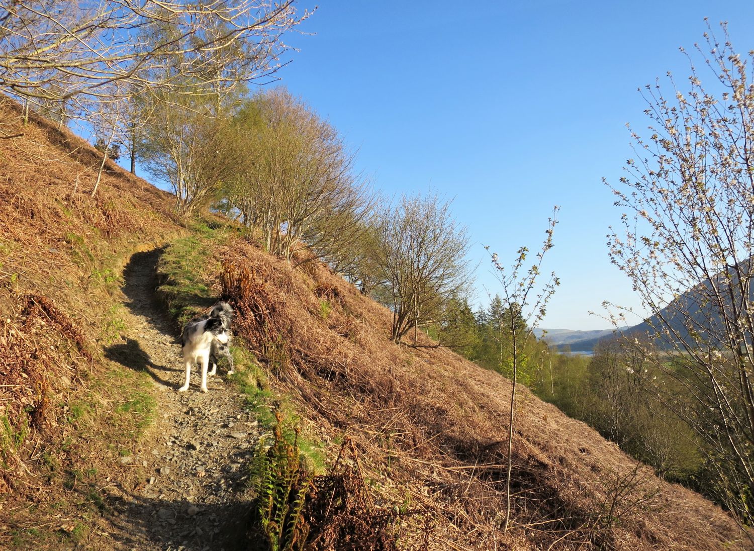
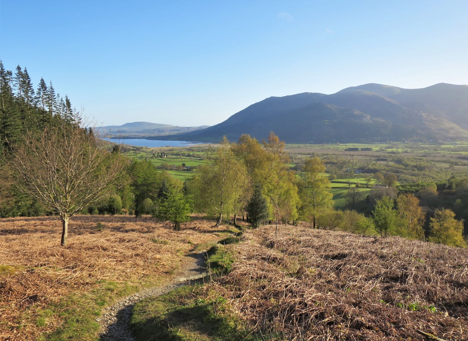
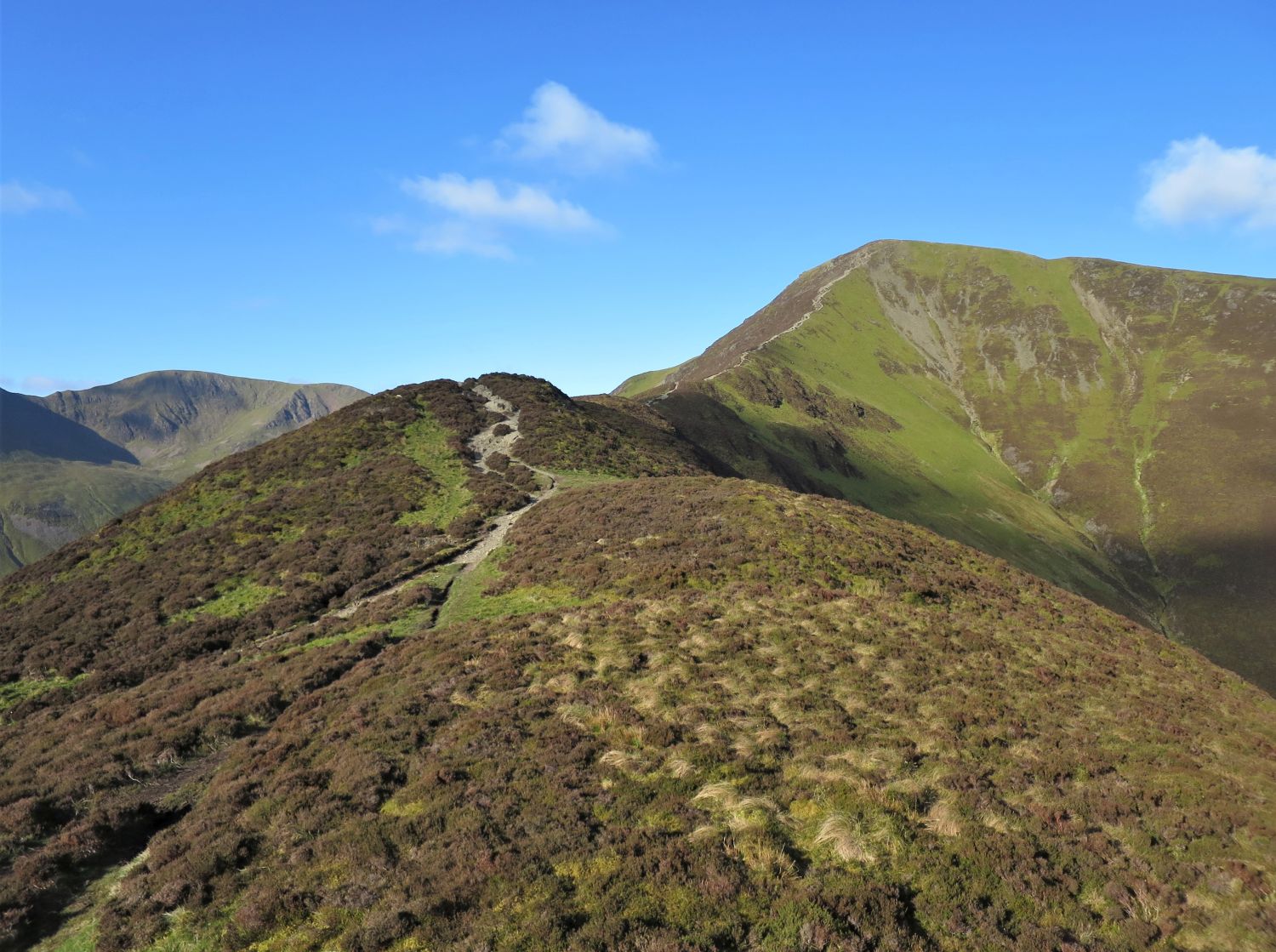
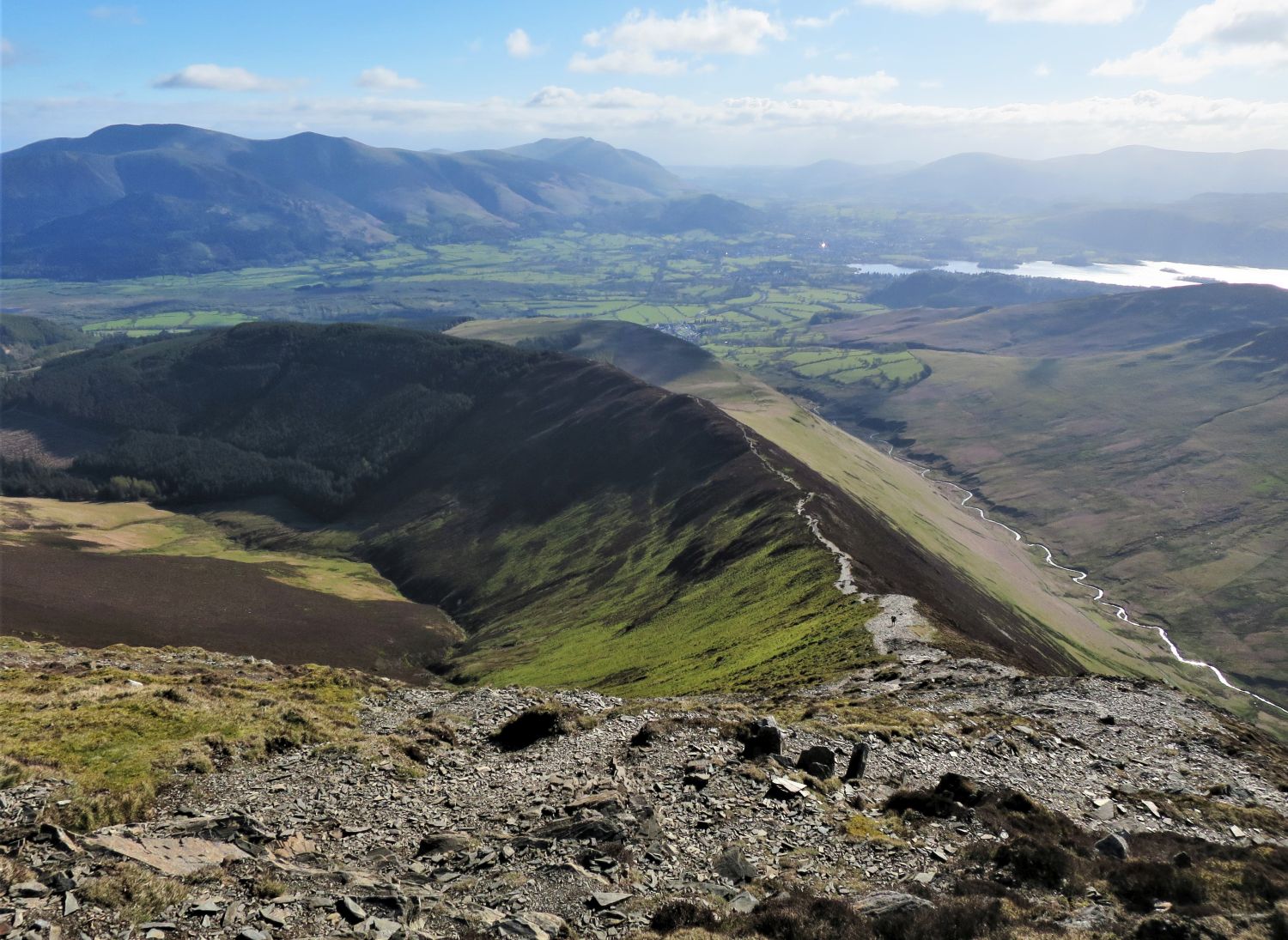
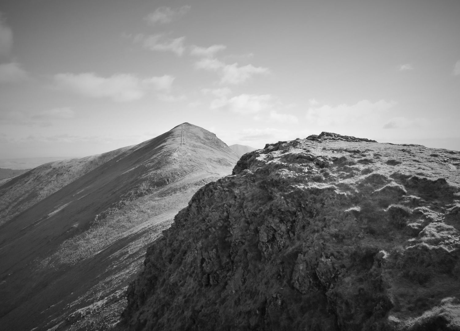
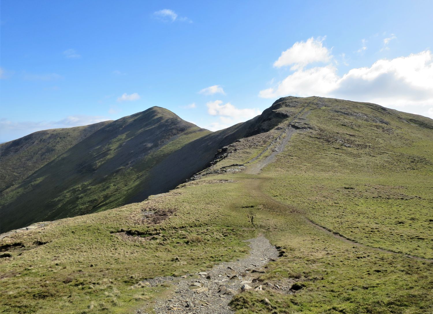
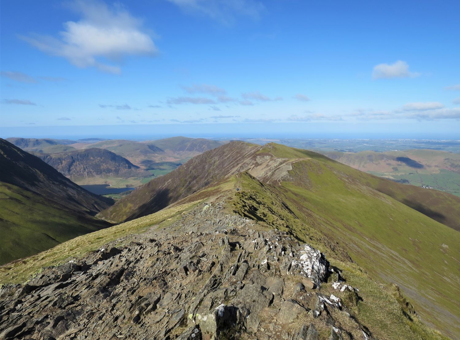
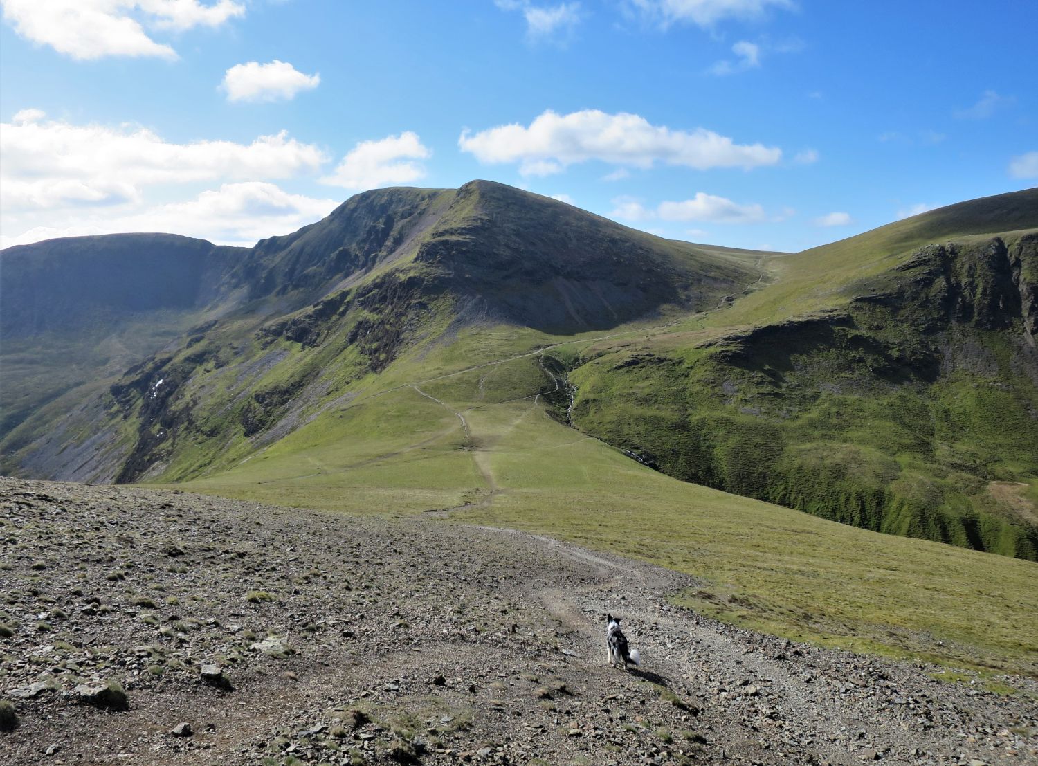
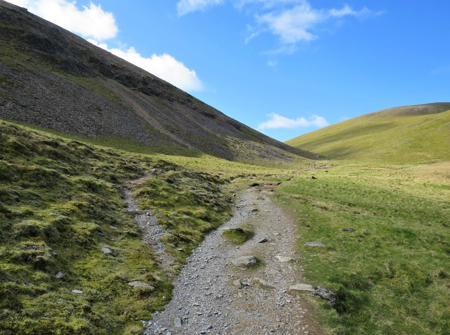
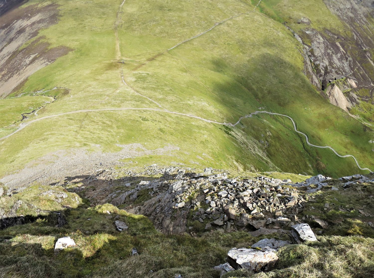
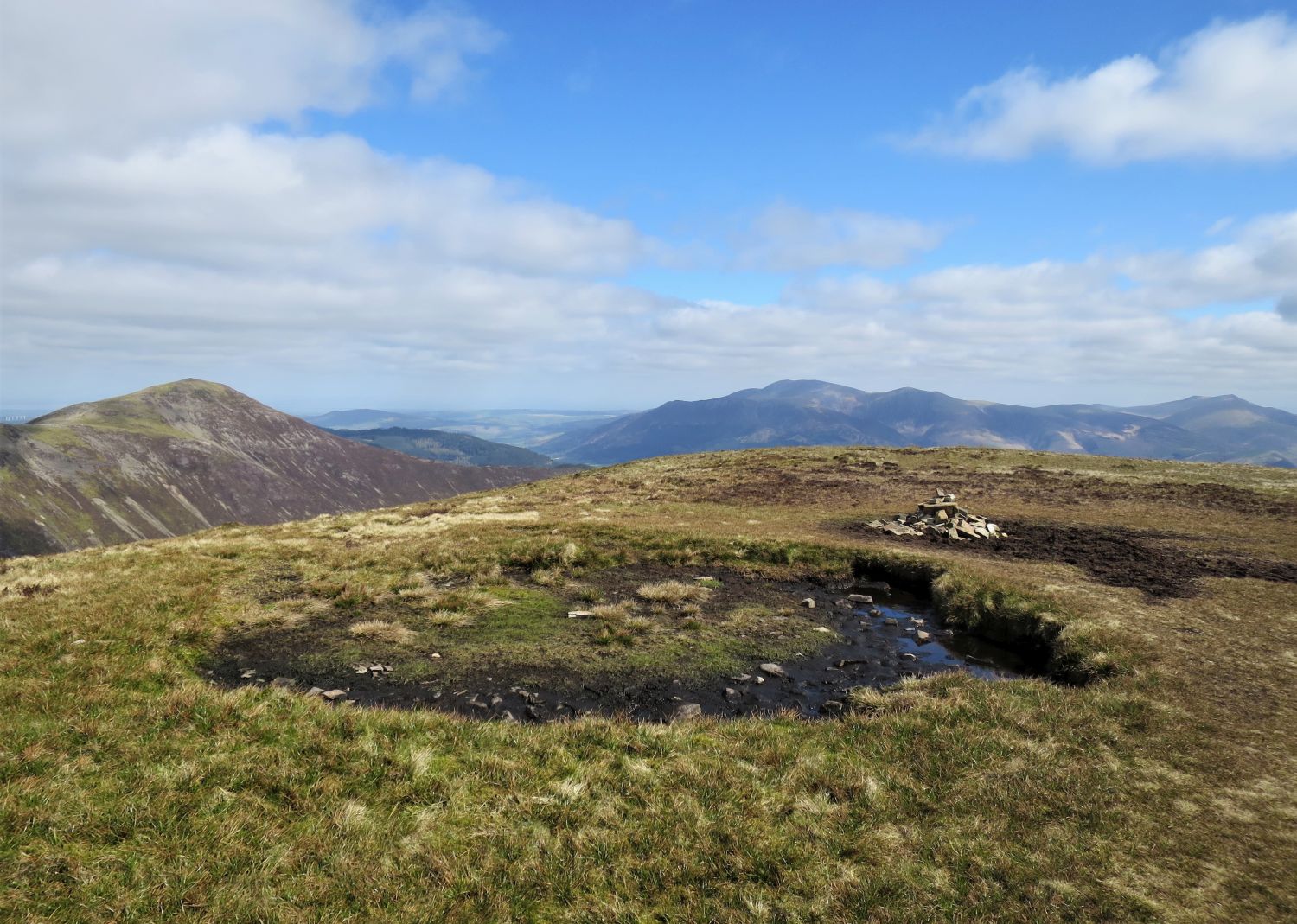
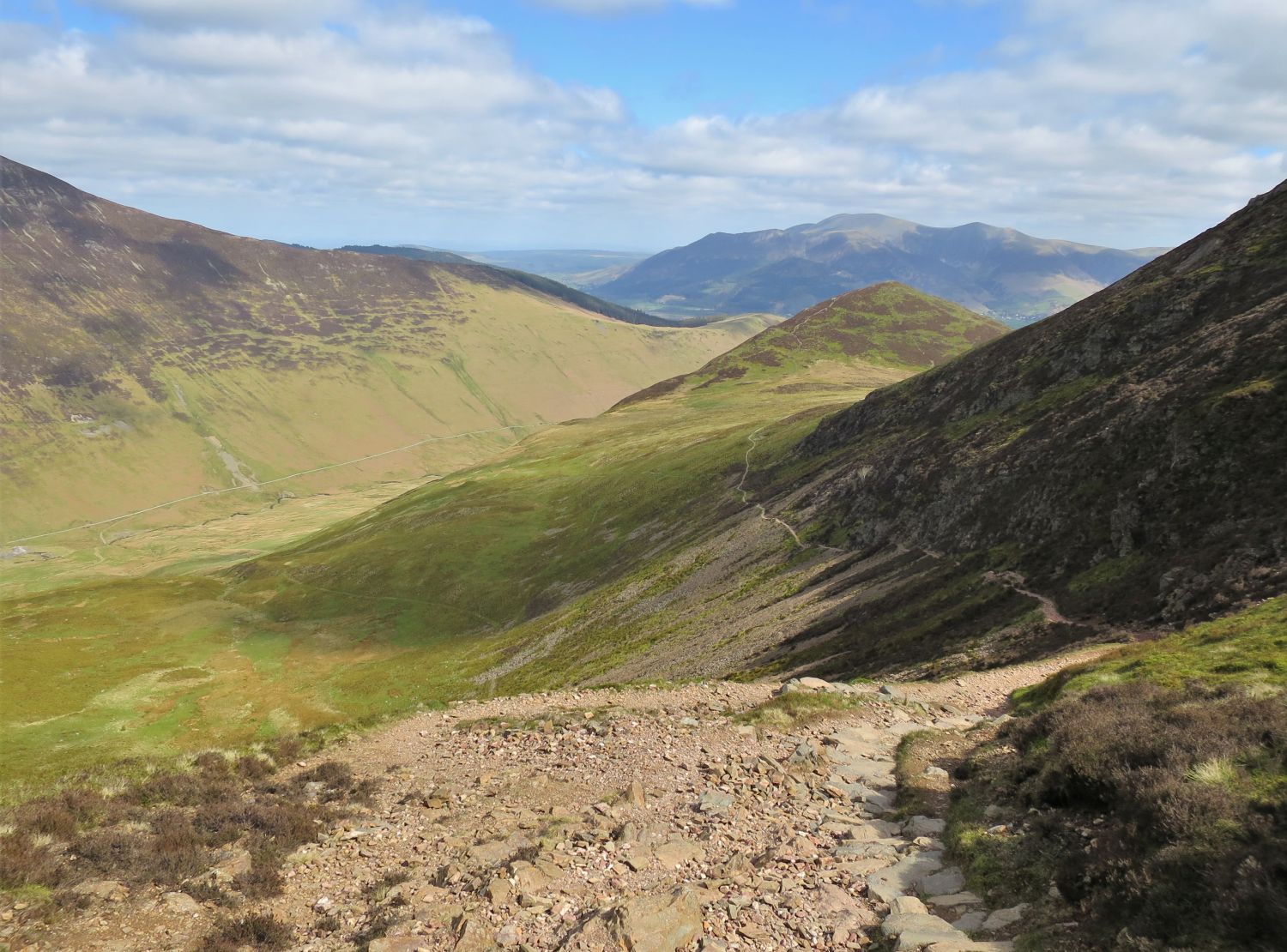
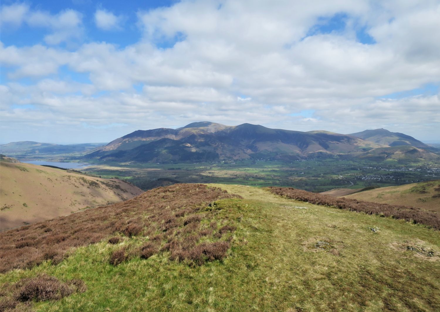
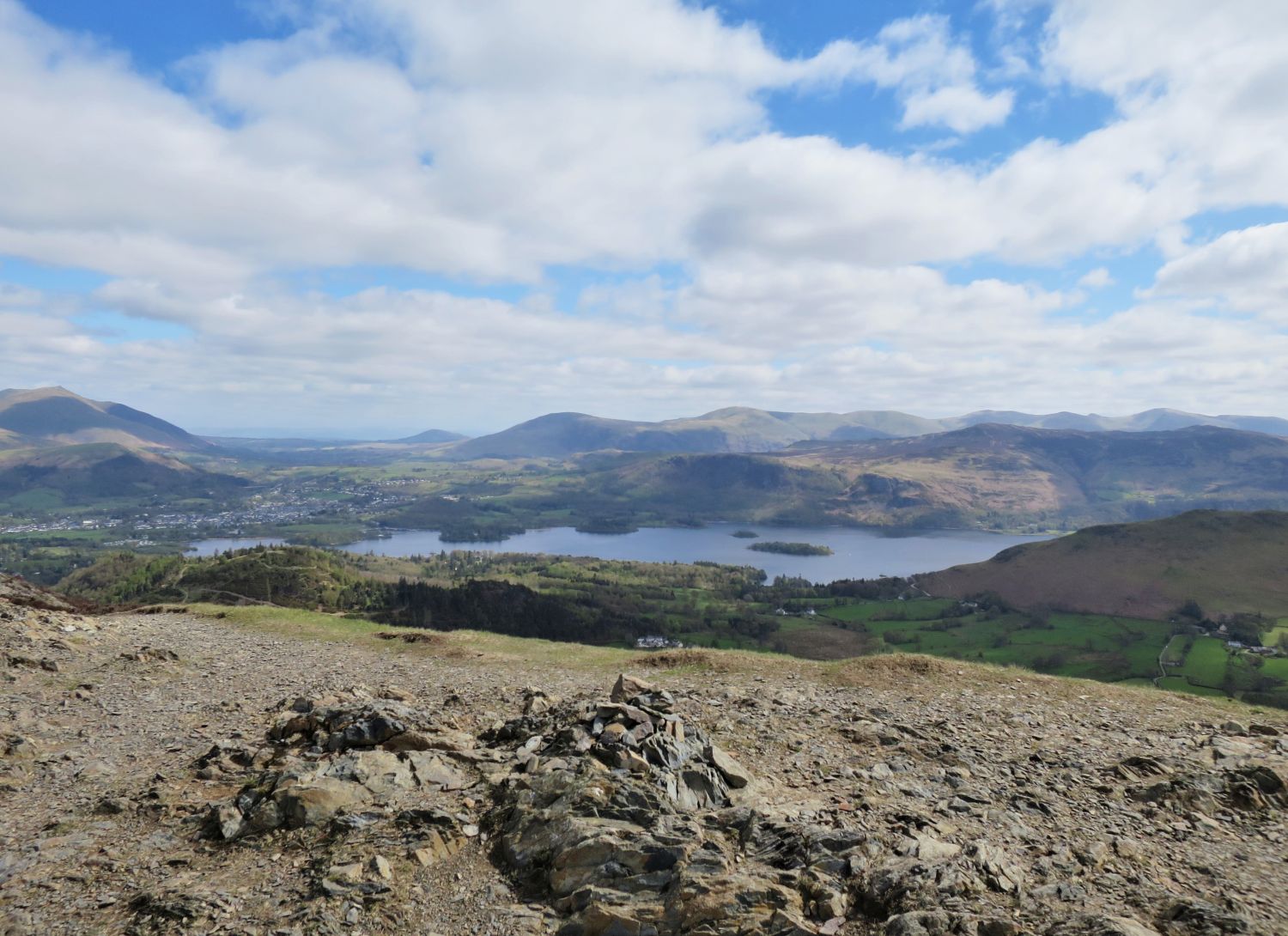
After a brief period of level walking, the path now rises to Kinn — the first of two ridges on this ascent to Grisedale Pike.
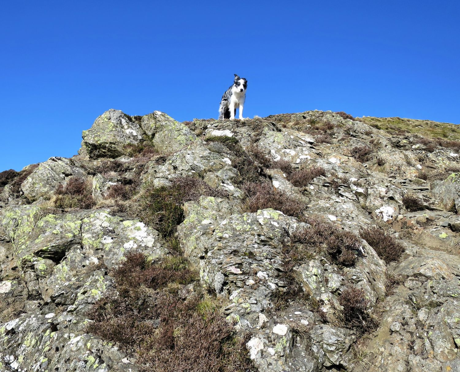
Here, I’m enjoying the view of Causey Pike and Scar Crags over Stile End and Outerside, while Tika checks for any activity in the valley below!
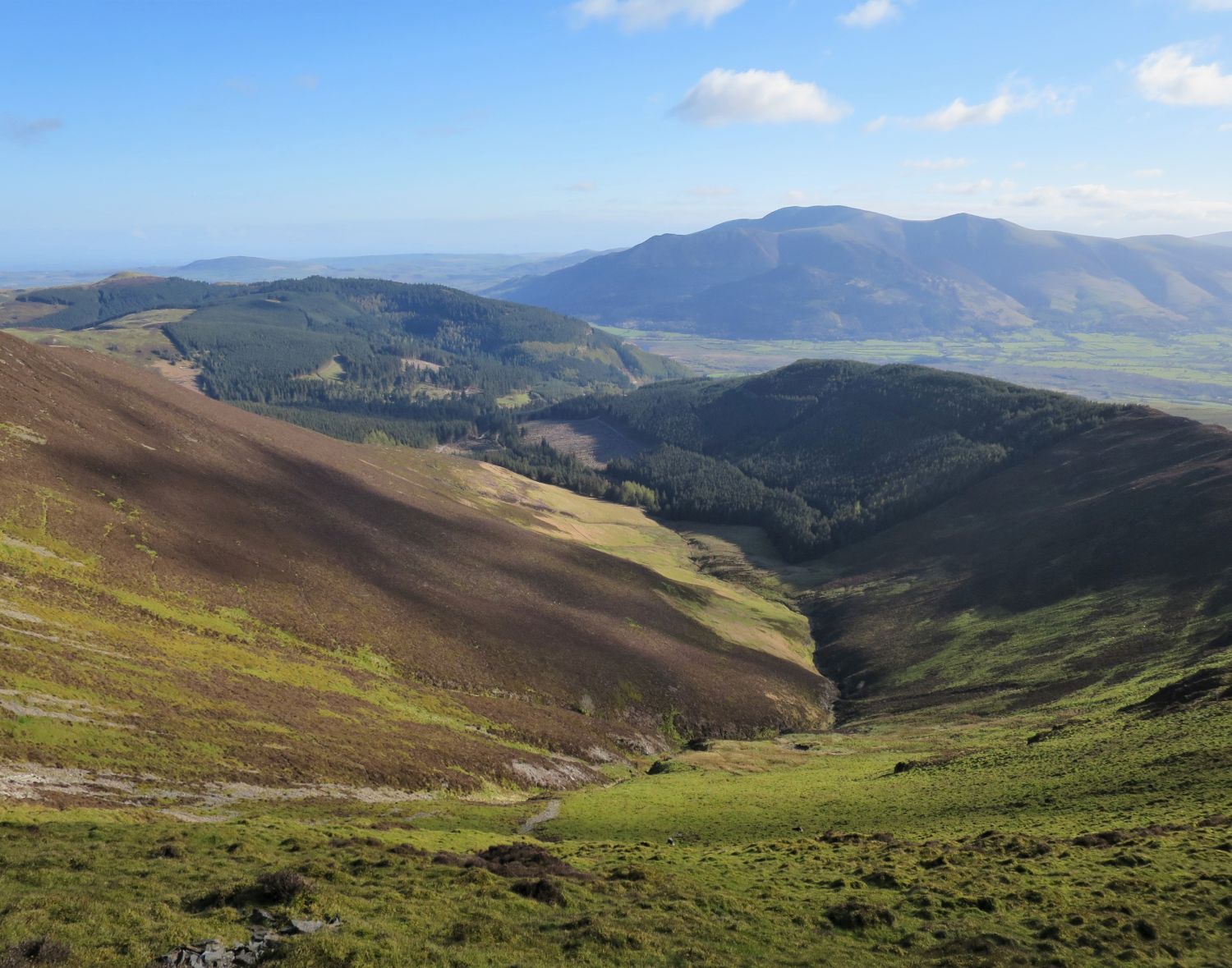
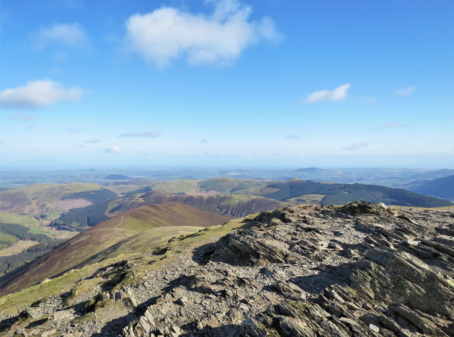
It is more level walking over the ridge of Kinn, with splendid mountain scenery. At the back are Causey Pike, Scar Crags, Sail and Eel Crag, while in front, Outerside towers above the valley of Coledale.
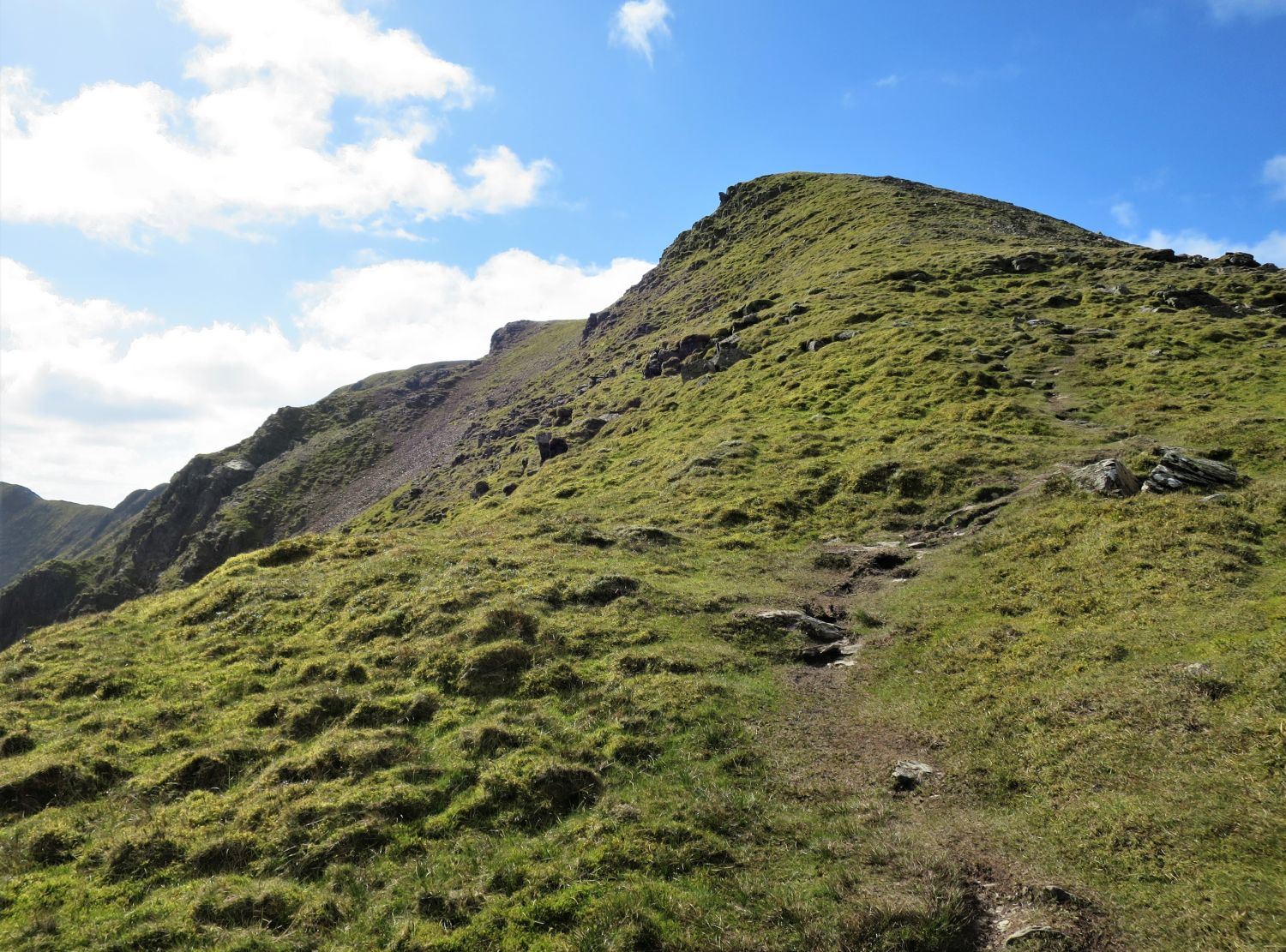
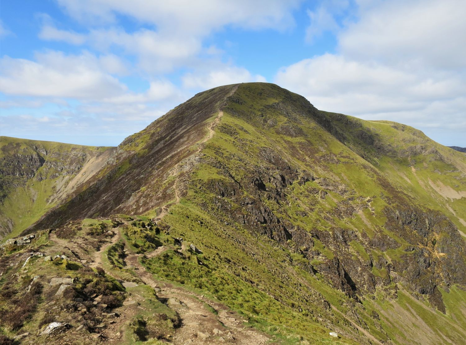
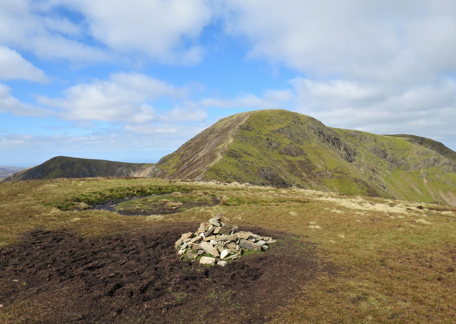
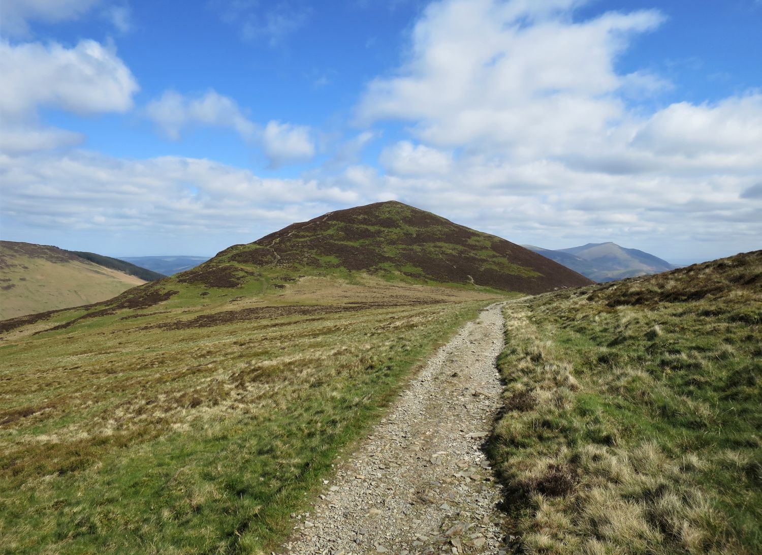
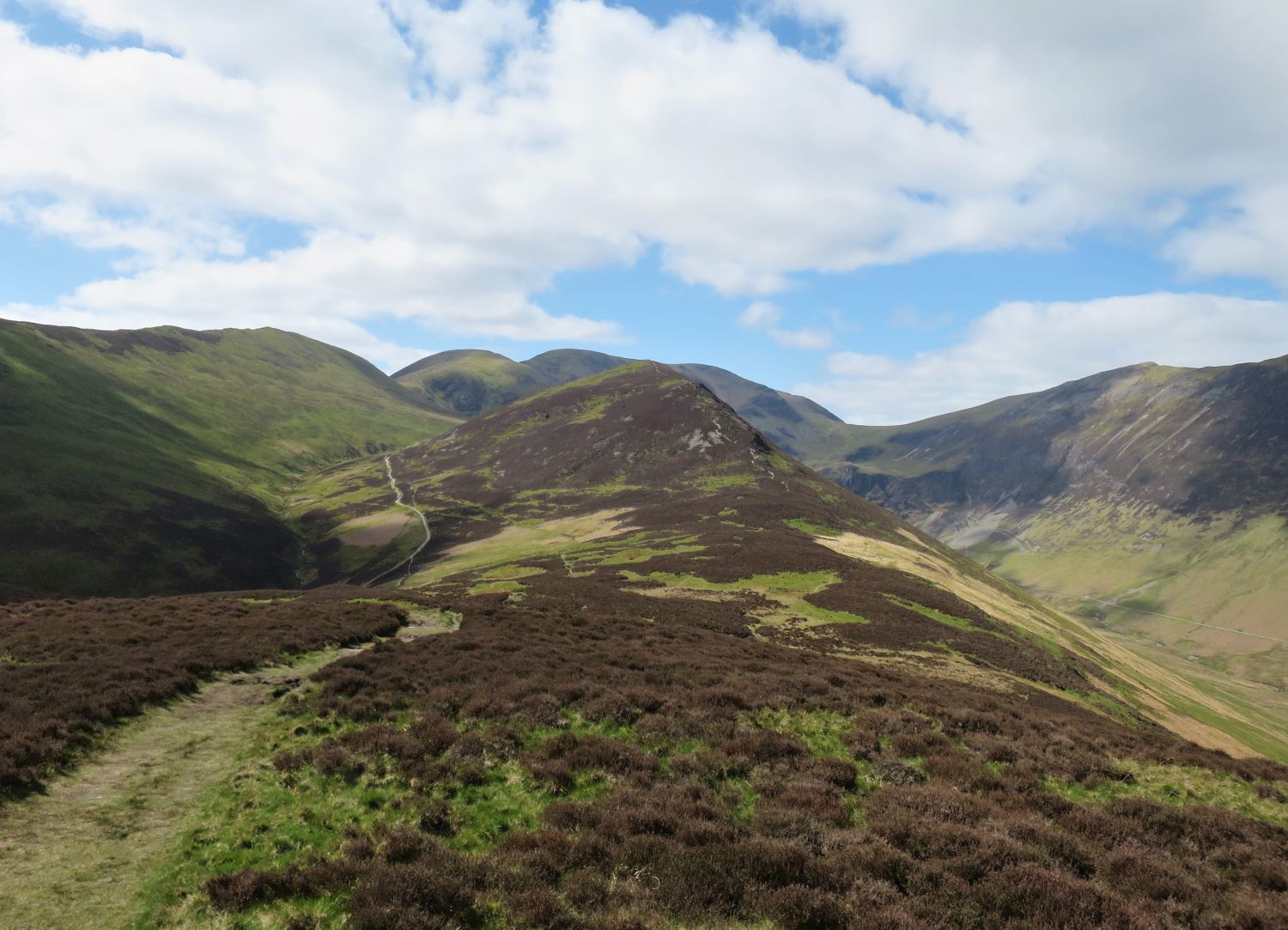
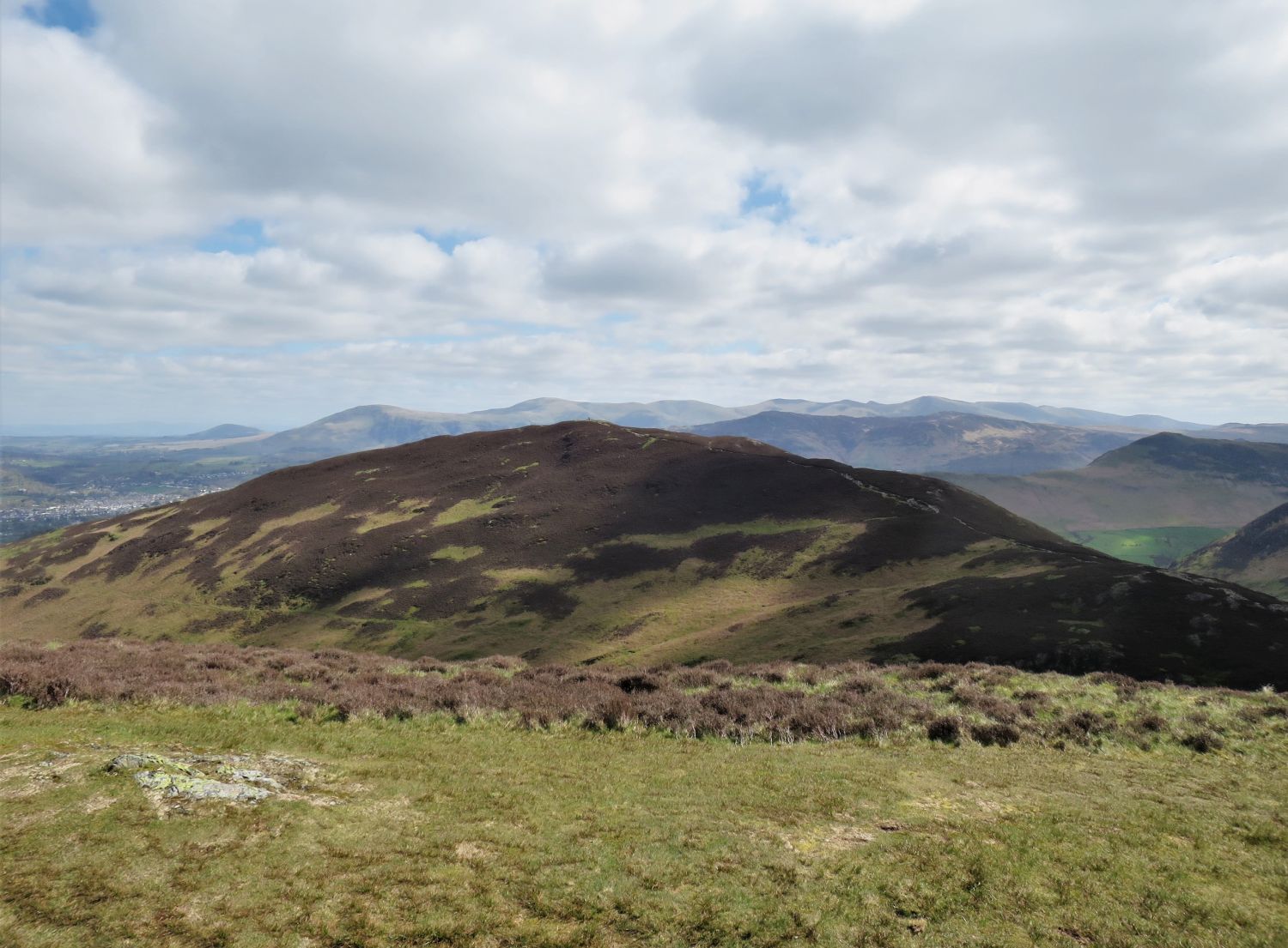
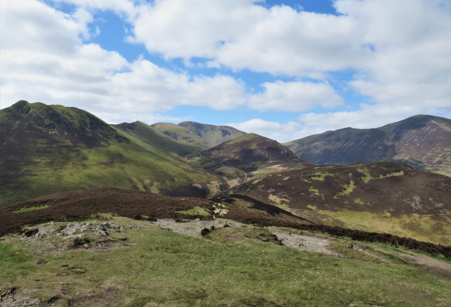
Grisedale Pike comes into view above our next steep climb, to the ridge of Sleet How.
Book Six
The North Western Fells
Grisedale Pike 7
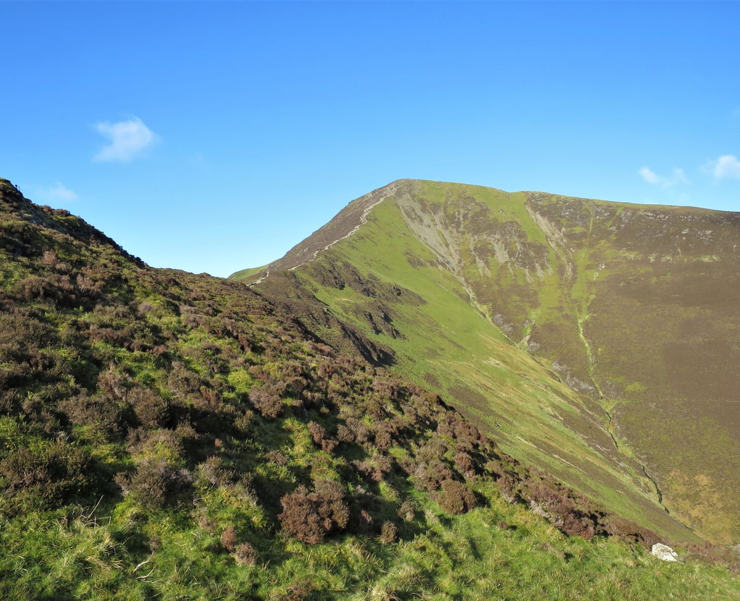
“The east ridge — the final section, from Sleet How”
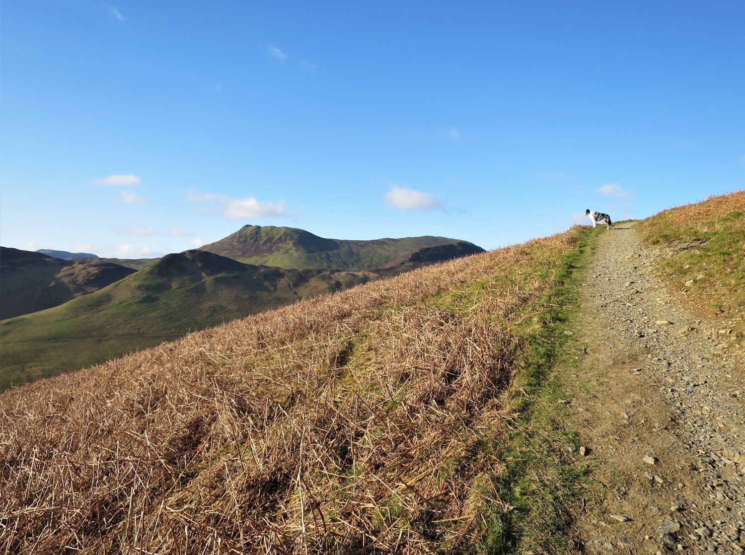
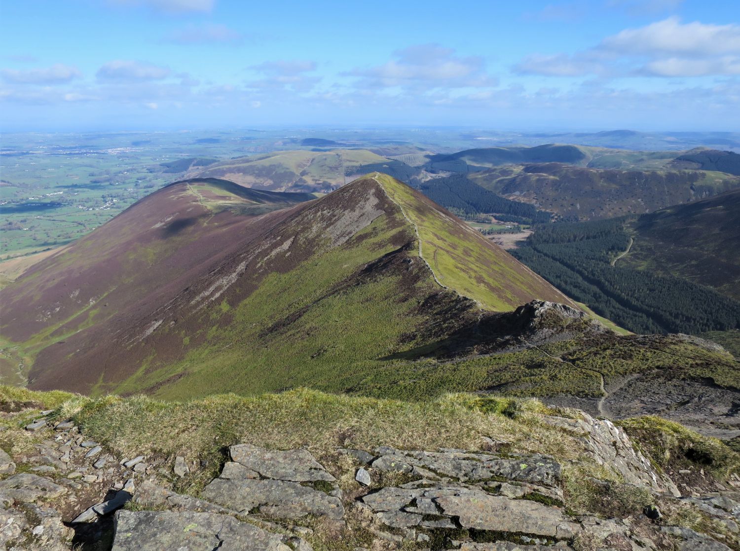
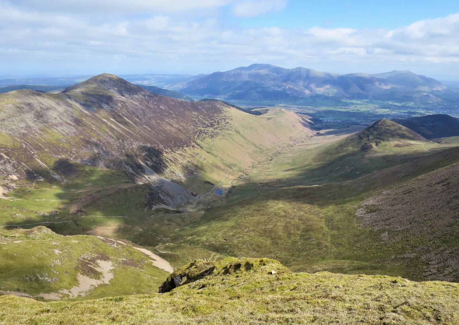
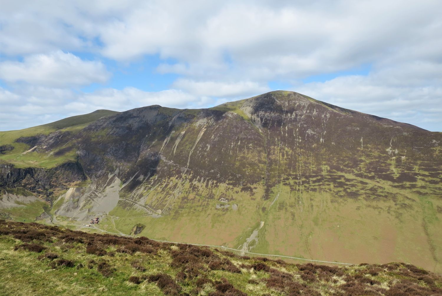
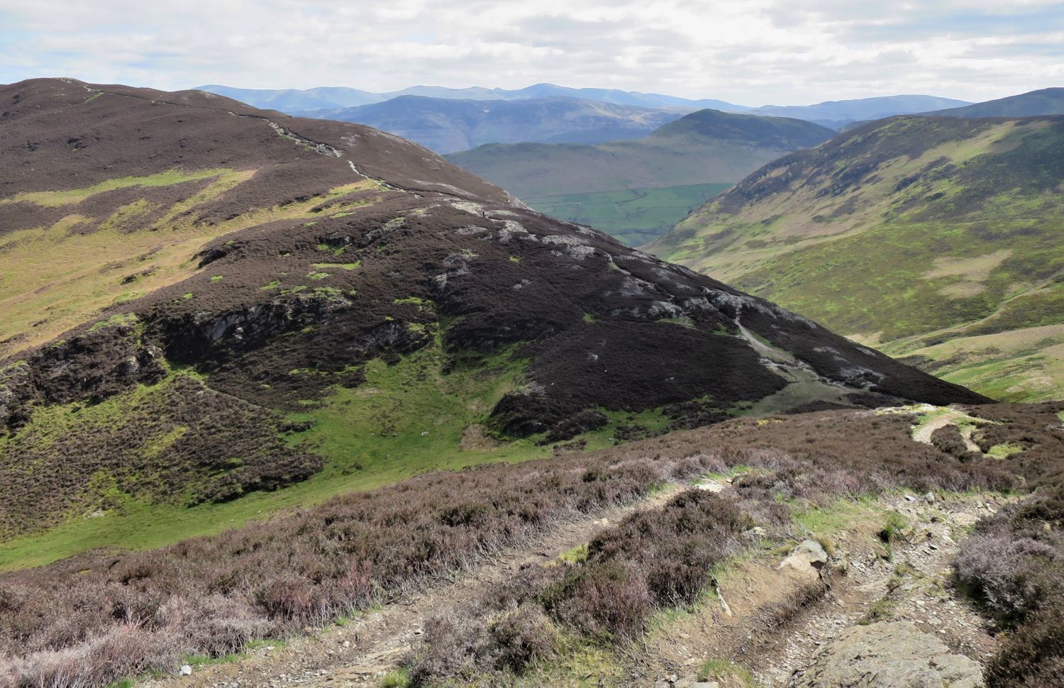
The second half of our ‘round’ comes into full view, with Scar Crags, Sail and Eel Crag towering over the sheltered Force Crag Mine nestled in the valley below.
“Why Hospital Plantation? Because the solitary building on the Whinlatter Pass road, now the Cottage in the Wood hotel, was once a fever hospital. This is going back in time a long way. Much of the plantation was shown on 19th-century maps, and here the first trees of the newly founded Forestry Commission were planted on 9th December 1919.”
Grisedale Pike 6
AW (revised by CJ)
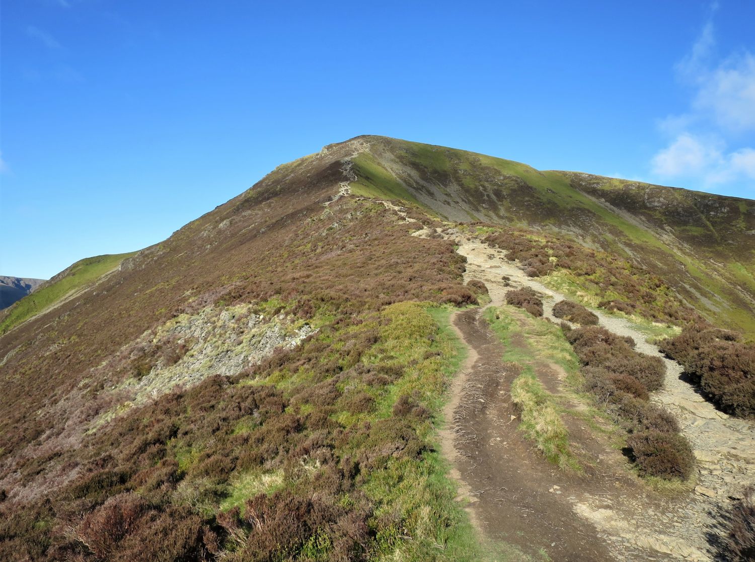
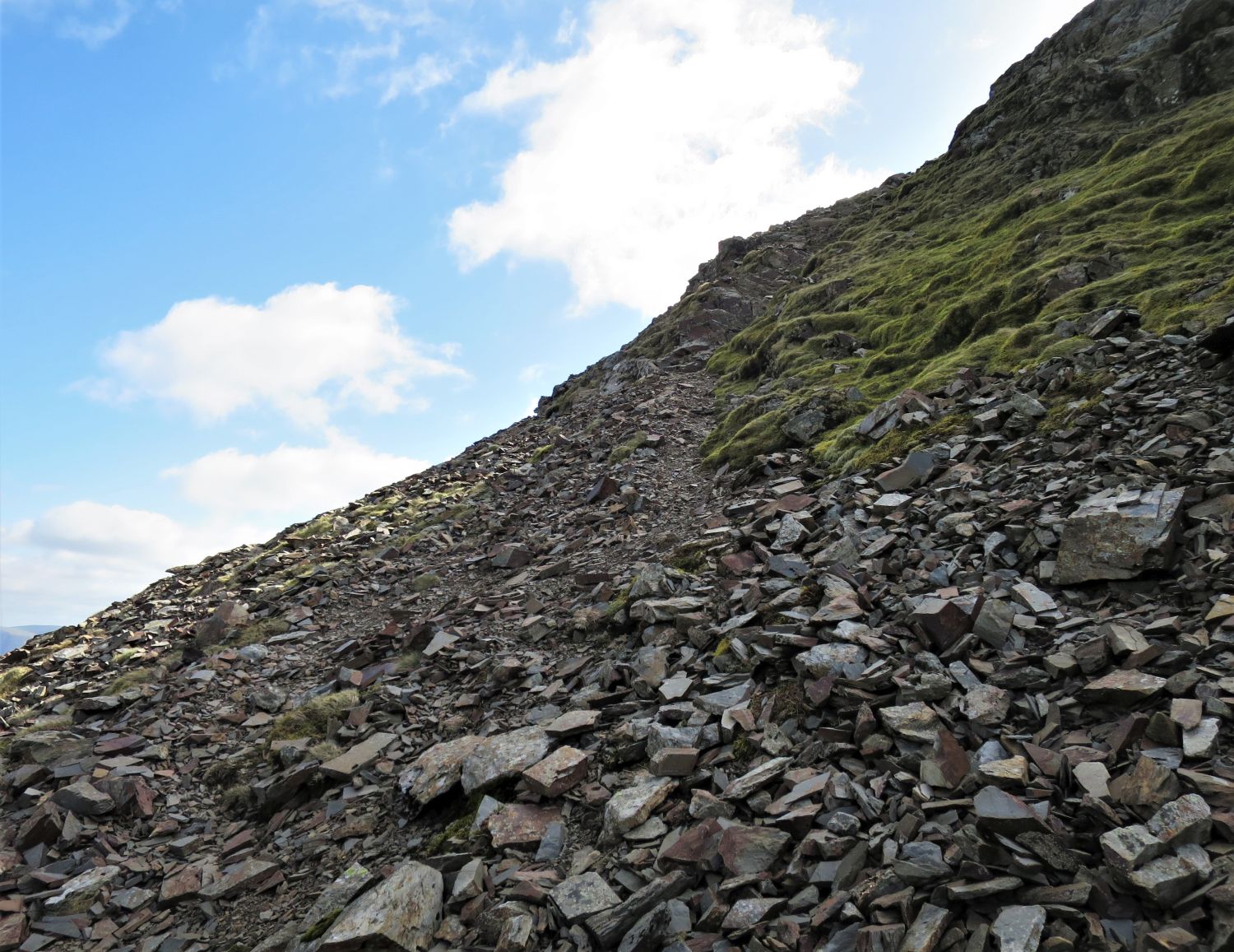
“The final 500 feet of climbing is up a stony arete on a path as wide as a roadway and visible from many miles distant.”
Grisedale Pike 8
AW
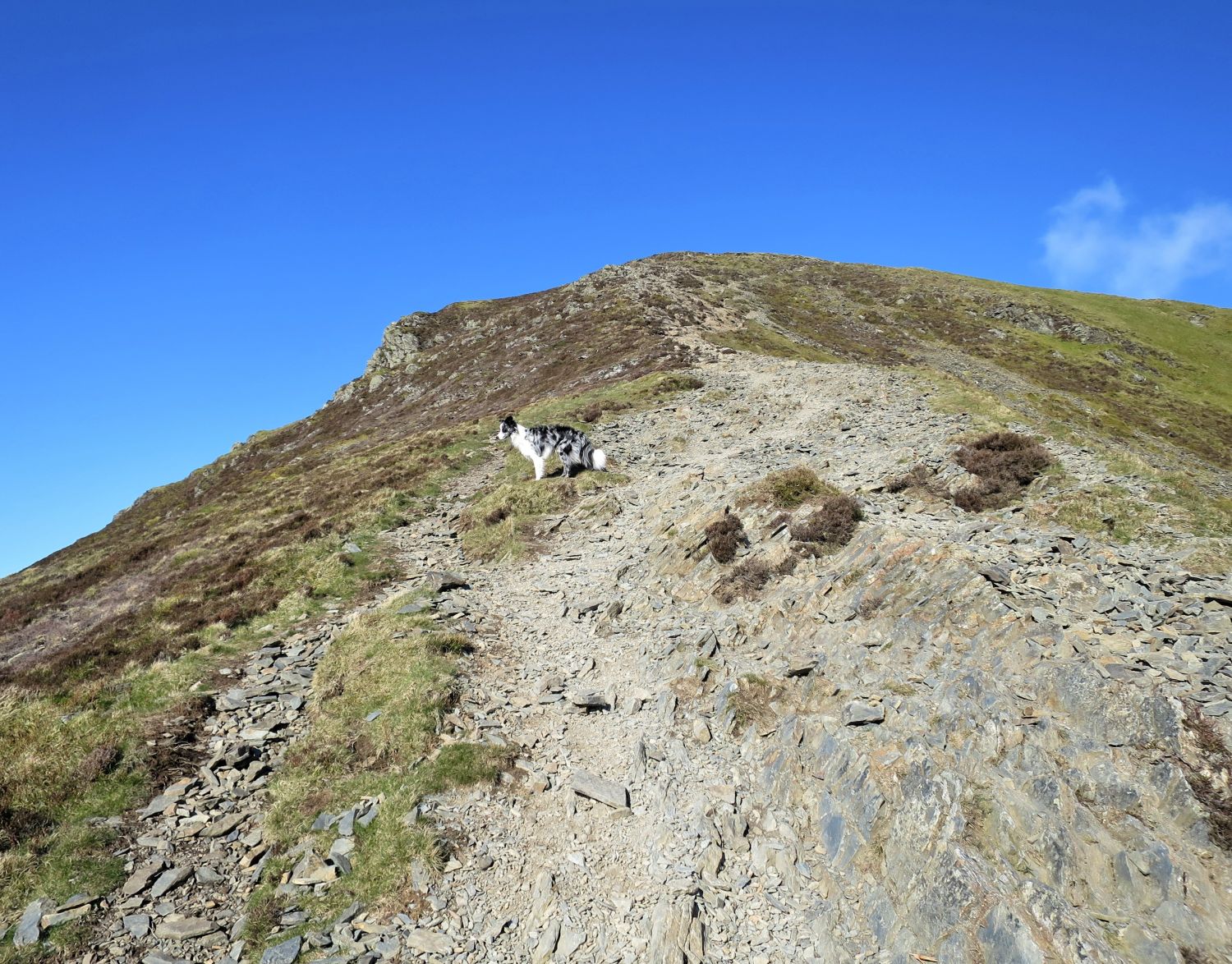
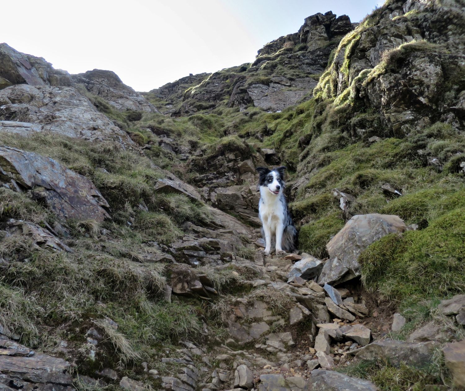
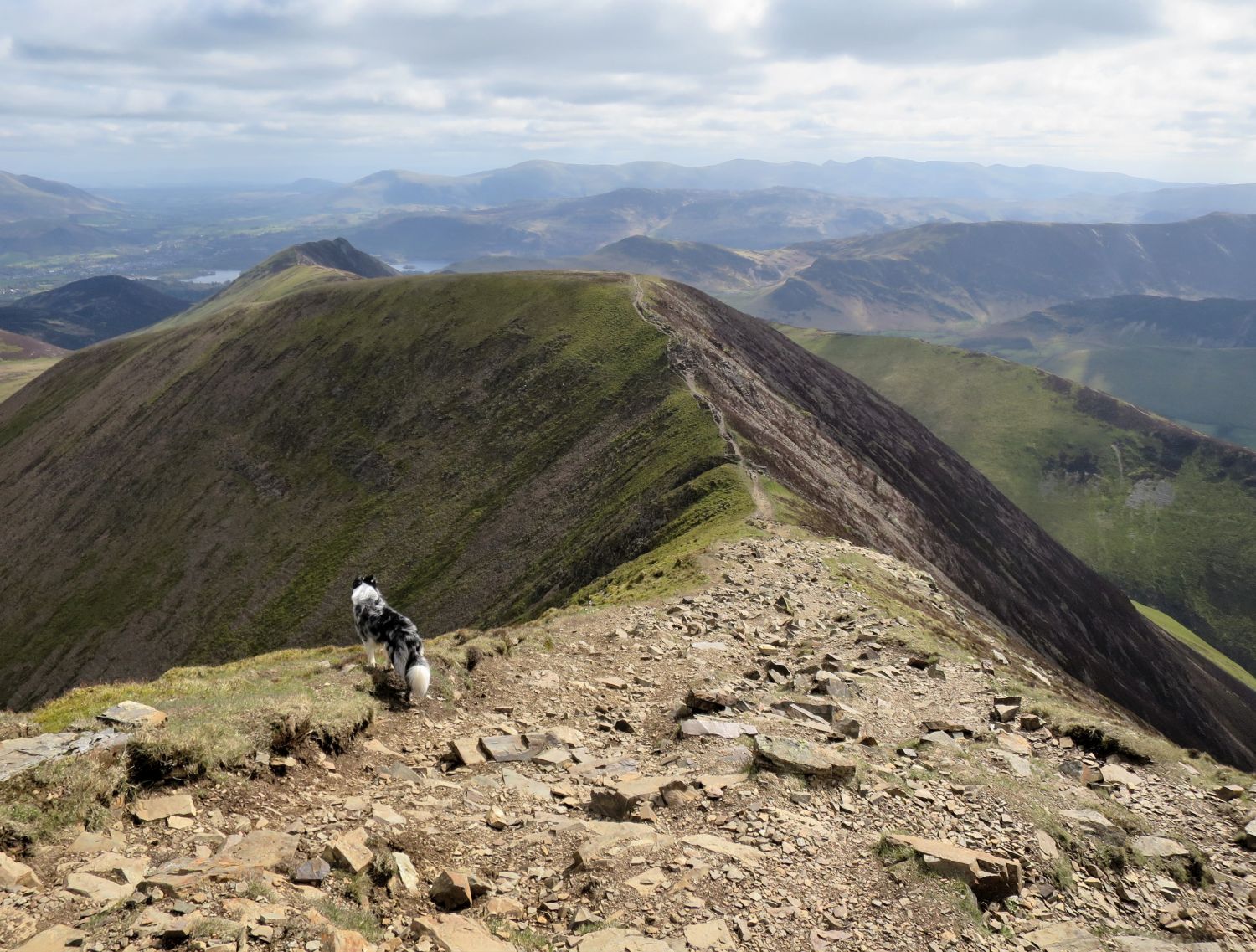
Tika waits for me patiently above the last scramble on this ascent. “Come on, Dad, we’ve got five more Wainwrights to climb after this one!”
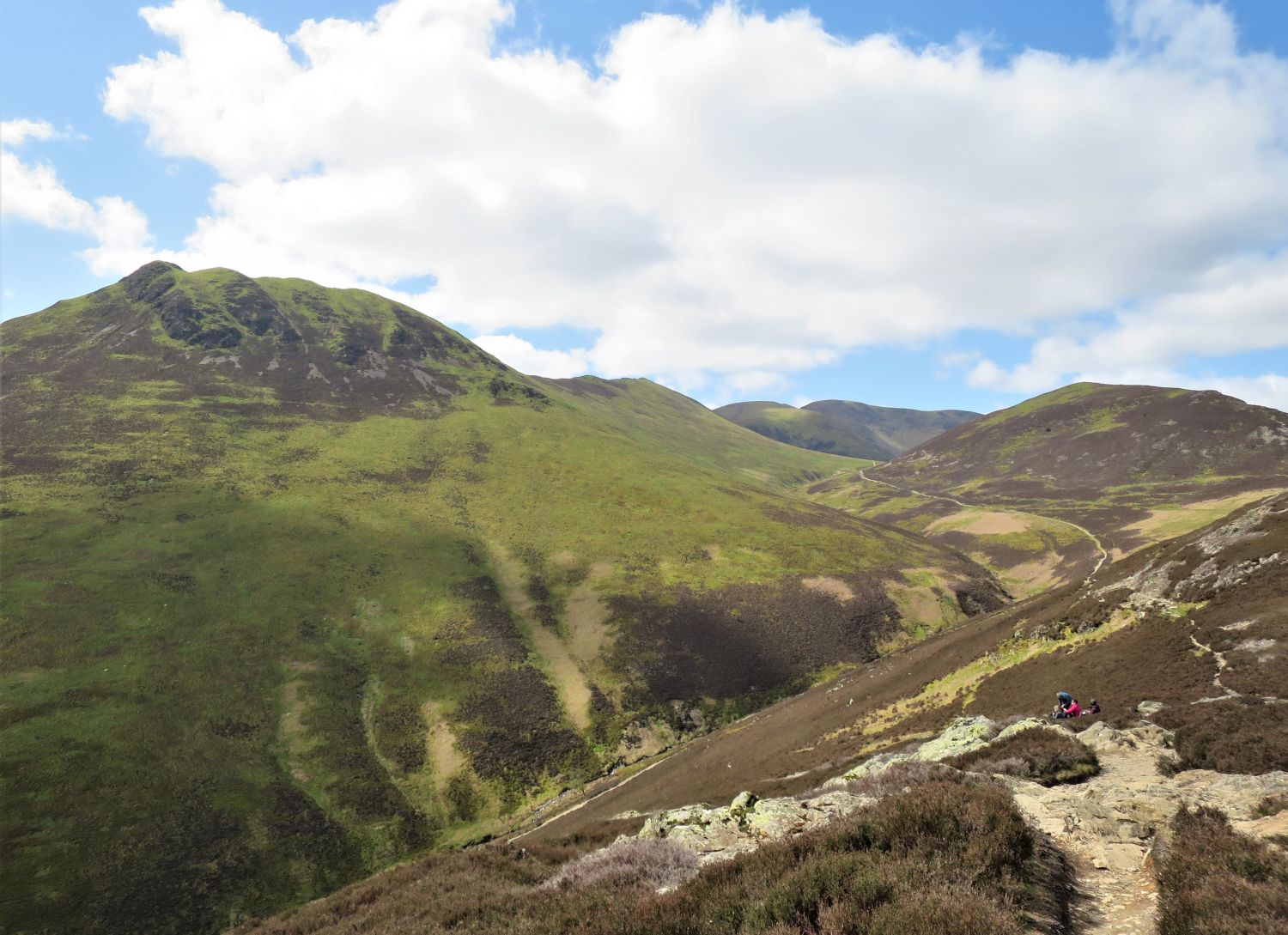
Looking back over the two ridges which are flanked by the valleys of Grisedale and Coledale.
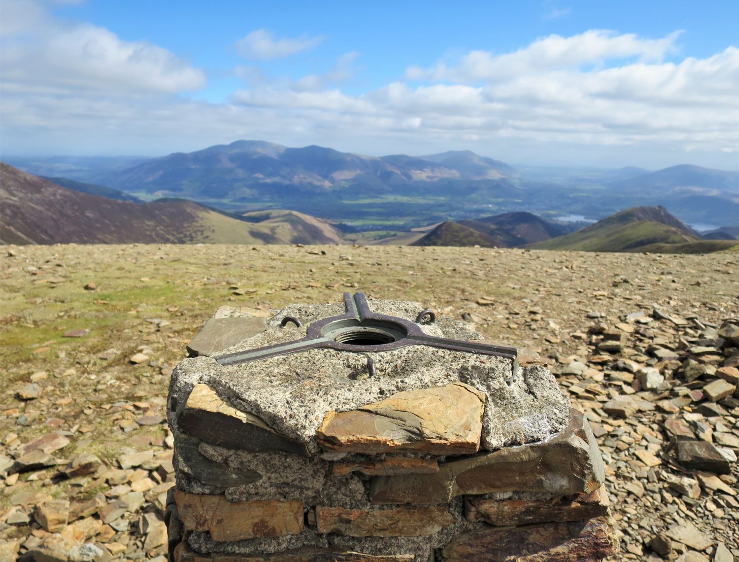
“Why Grisedale Pike? Why not Coledale Pike after the valley below? Generally a mountain takes its name from a valley only if it stands at the head, and the rule is followed here — one of the two short valleys running north-east is named Grisedale (a fact little known), the summit of the fell being centred exactly at the head.”
Grisedale Pike 2
AW
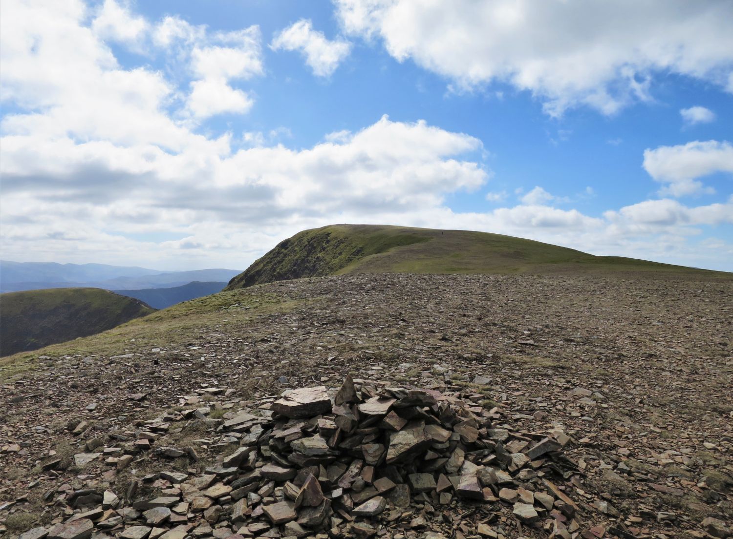
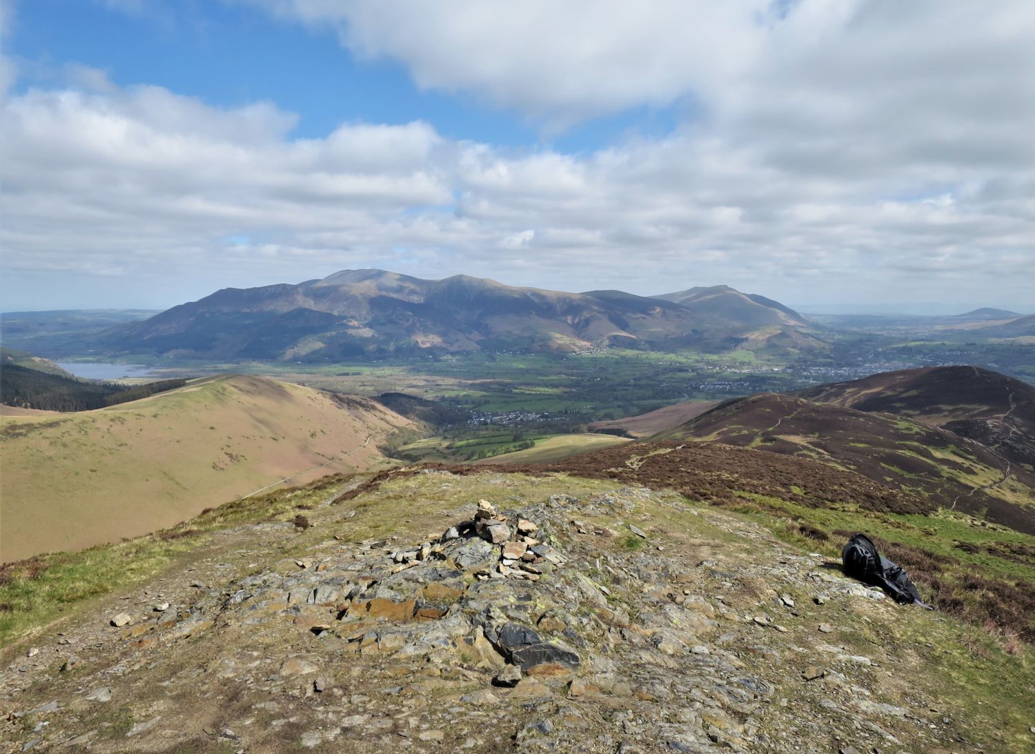
The view broadly to the south from the summit of Grisedale Pike, with the most recognisable top of all through the haze, Pike o’ Stickle (centre), which is 10.5 miles away!
Book Six
The North Western Fells
Grisedale Pike 15 and 16
“The View”
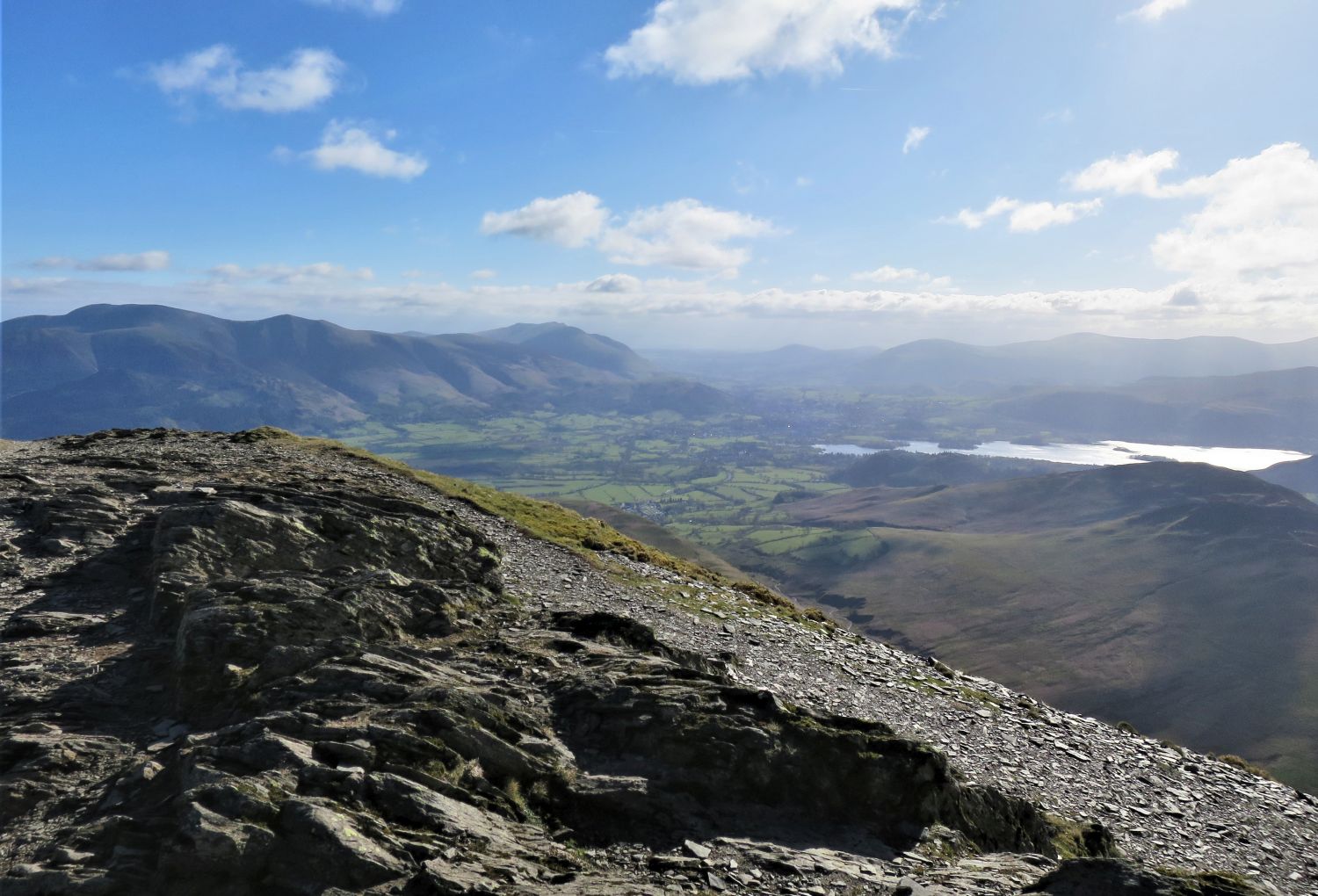
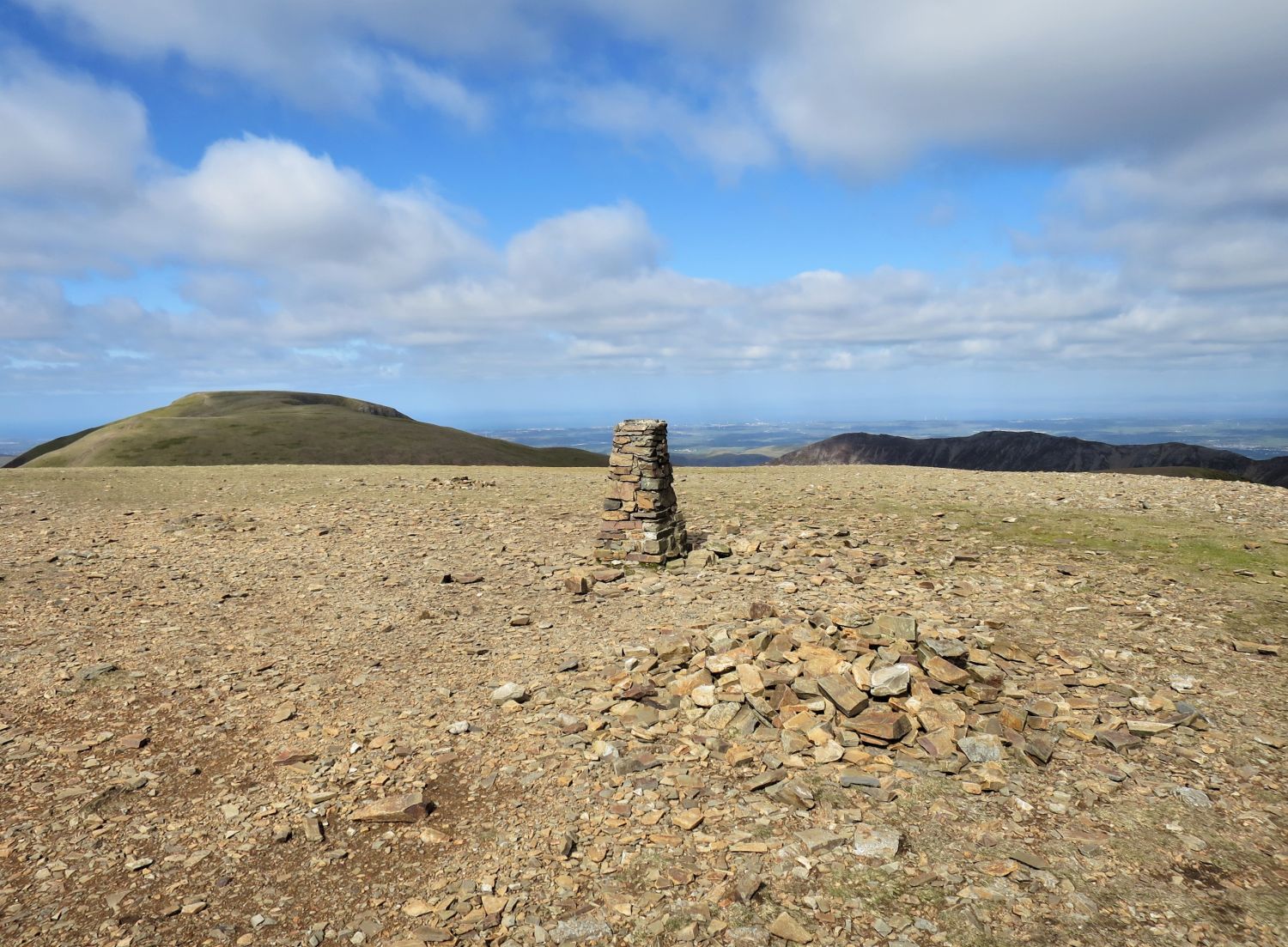
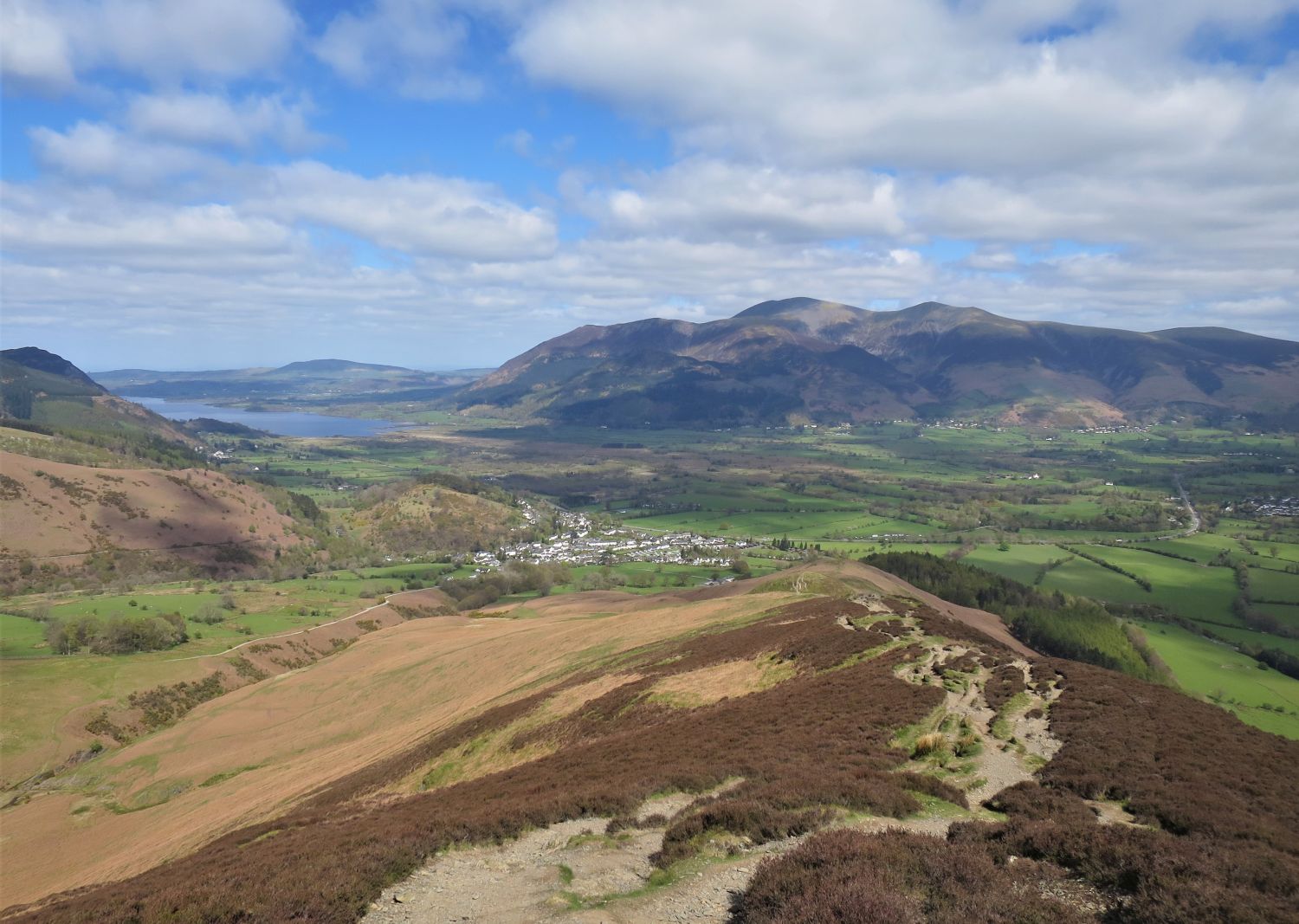
The view broadly to the east from the summit, with the Vale of Keswick and Derwent Water.
The view to the north from the summit, with the descending ridge leading to Hobcarton End.
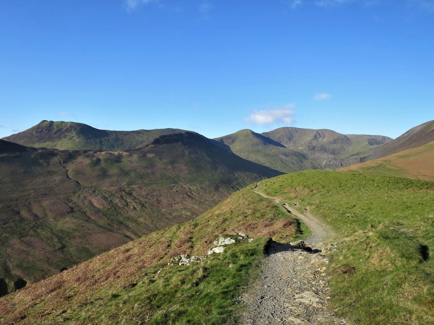
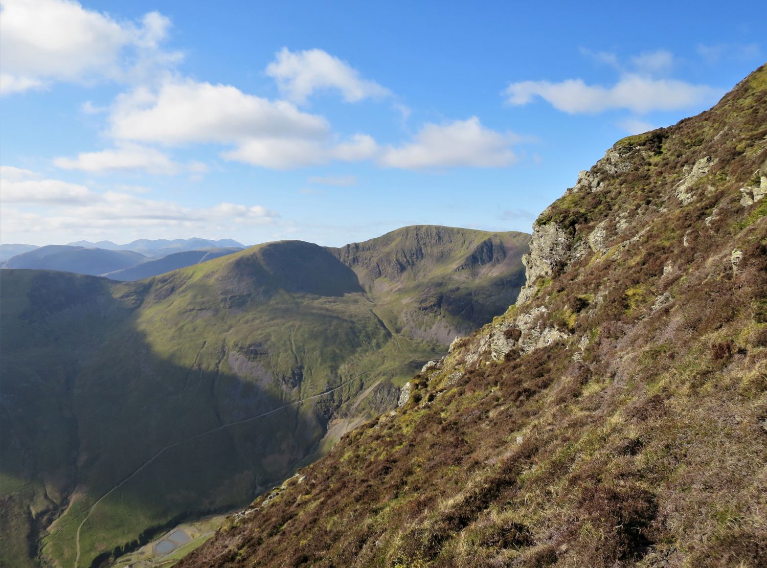
The next objective is to follow the connecting ridge and escarpment of Hobcarton Crag to Hopegill Head, the peak seen here over on the right.
The view broadly to the north from the ‘subsidiary summit’, with the valley of Hobcarton flanked by Ladyside Pike and Hobcarton End.
Book Six
The North Western Fells
Grisedale Pike 12
“The main summit (left)
from the subsidiary summit (right)”

While the route to Hopegill Head is obvious and pleasant throughout, what lies below the escarpment of Hobcarton Crag is formidable and no playground for the inquisitive explorer.
“Hobcarton Crag is the property of the National Trust, and no ordinary cliff. Its size is impressive — 500 feet in height above the scree along a half-mile curve — but the rocks are broken and interspersed with lush bilberry meadows, so that the appeal of the crag is not related to climbing: indeed, the rock is unsuitable for exploration.”
Hopegill Head 3
AW
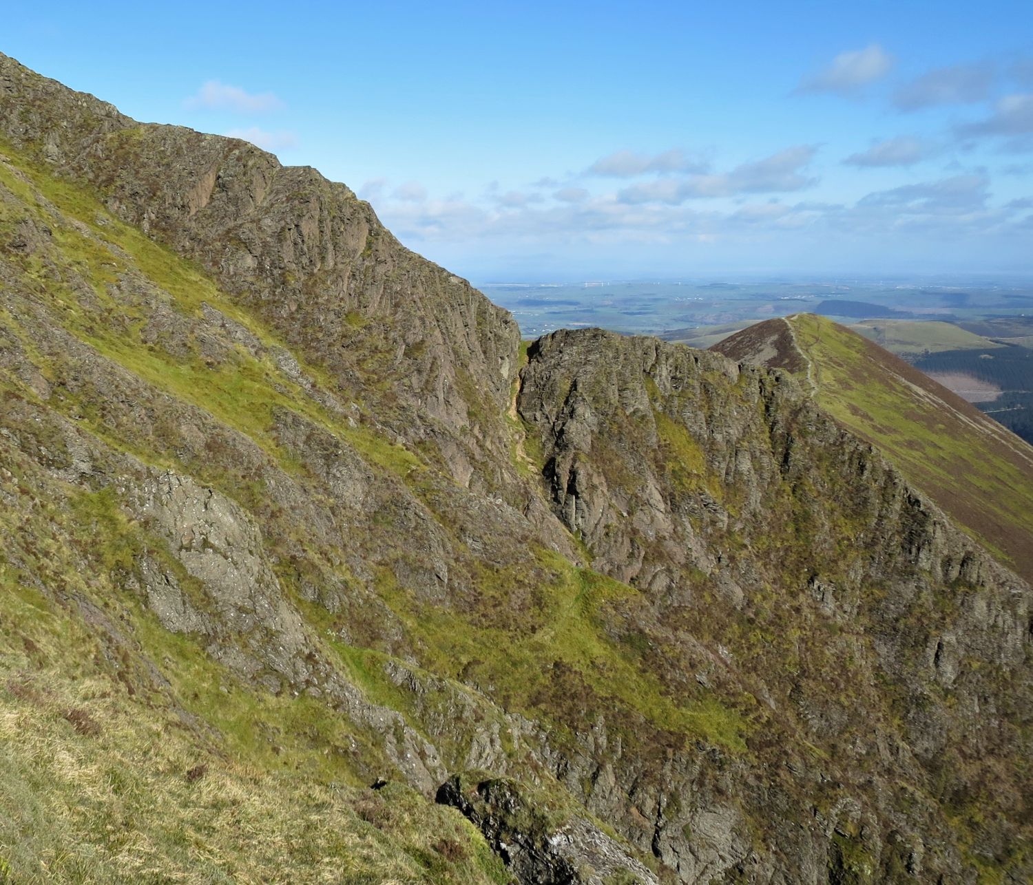
“A feature of the northern rim of Hobcarton Crag is a curious break in the curtain of rocks forming the sharp arete below the summit: here, a steep scree gully falls from a square cleft in the vertical wall of crag. A name is needed for this strange place and The Notch fits it well.”
Hopegill Head 4
AW
The view of the north ridge, which includes Swinside and Ladyside Pike (formerly Lady’s Seat), and flanked by the valleys of Hope Gill and Hobcarton.
“….But it is the aspect to the north that invests the mountain with its special character. Here, Swinside is bounded, on both sides, by deep valleys: sterile Hope Gill and afforested Hobcarton. The latter, now a coniferous jungle, leads up to a great semicircle of cliffs around the valley-head: this is a nature stronghold, Hobcarton Crag. The valley of Hope Gill is rarely visited and has little of interest; it seems rather surprising that this valley, and not the other, has given its name to the fell — until one stands on the shapely summit and sees Hope Gill winding away directly below, while the valley of Hobcarton is obscured by the north ridge. Then the choice of name of the cartographers cannot be questioned. ‘Hopegill Head’ is right.”
Hopegill Head 2
AW
Book Six
The North Western Fells
Hopegill Head 14
“The ridge to Whiteside”
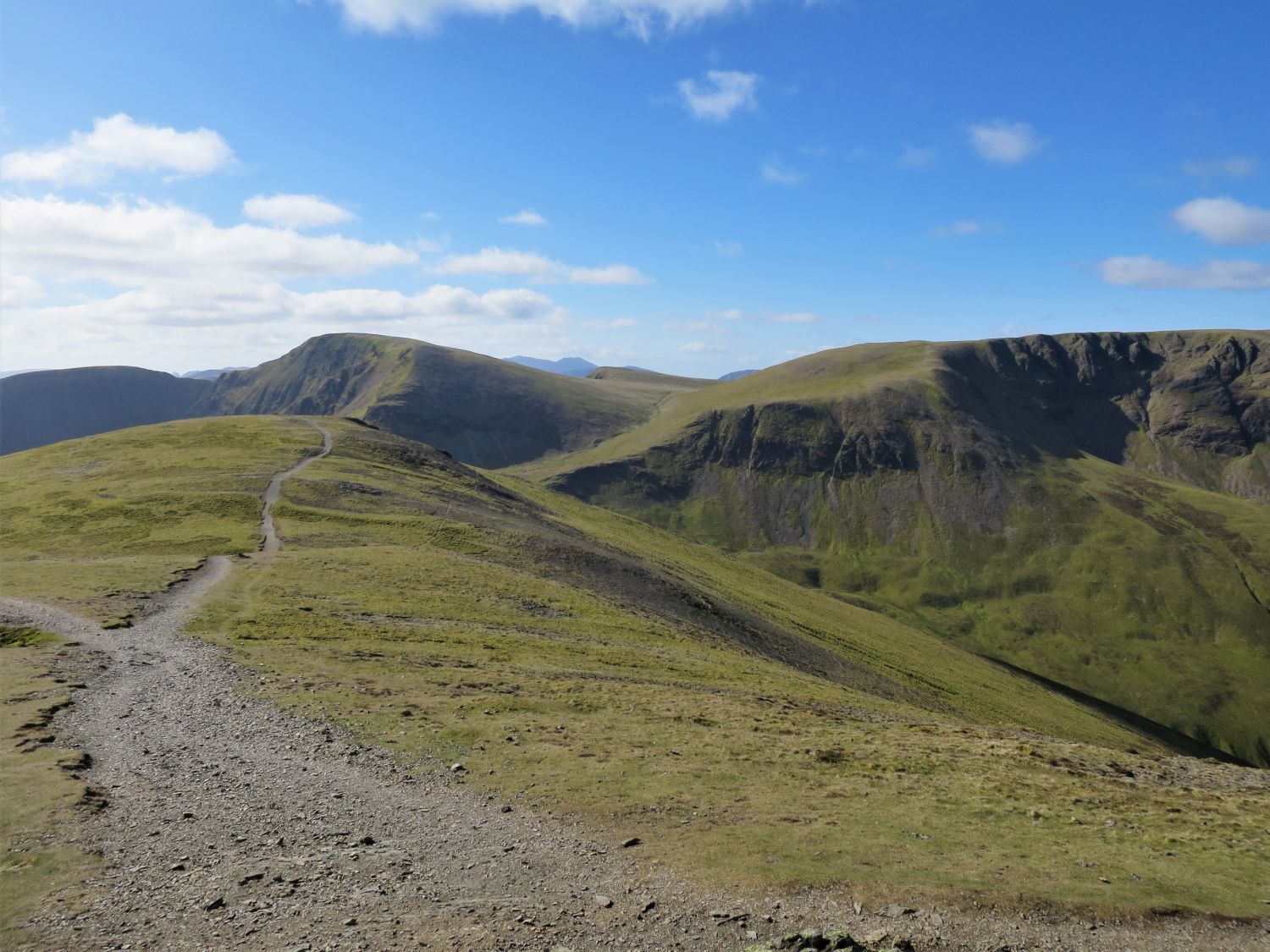
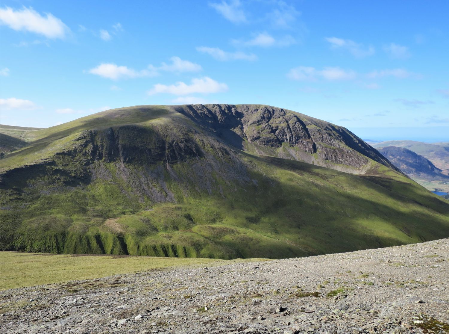
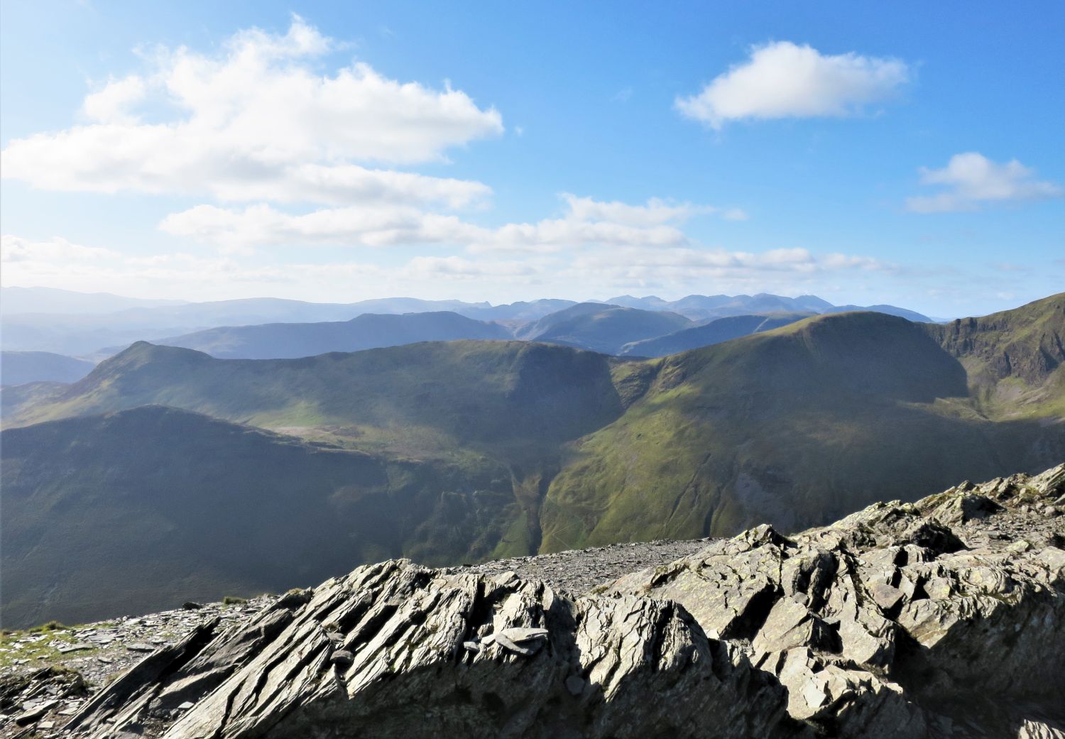
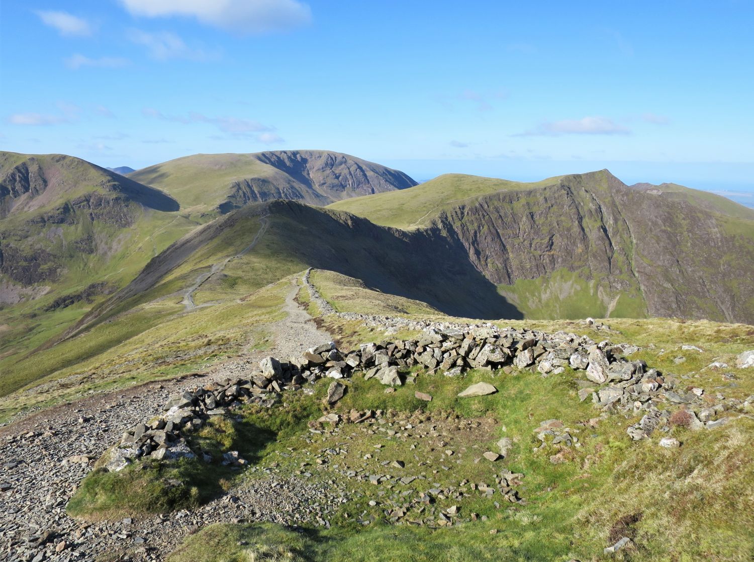
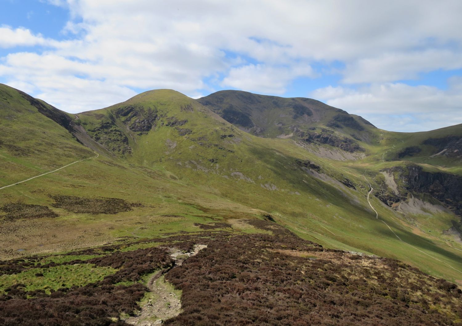
Eel Crag looks magnificent from this northern approach from Hopegill Head and Sand Hill. Standing abruptly at the head of Coledale, this sentinel dominates the scene, and its steep crags offer plenty of opportunity to explore.
“Although of rather lower elevation than the neighbouring Grasmoor, Eel Crag is more truly the focal point of the concentration of fells rising between the valleys of Newlands and Lorton. Unlike Grasmoor, Eel Crag is supported by ridges. Unlike Grasmoor, it stands in the midst of a group of satellites. Unlike Grasmoor, it commands an excellent all-round view. It is in the centre of things. It is an obvious objective. Tracks lead up to its stony top naturally and inevitably. It is a traffic junction, while Grasmoor is a cul-de-sac.”
Eel Crag 2
AW
There are two options of ascent from Coledale Hause: continue ahead up the gill to the source of Liza Beck, then take the easier climb to the summit from the col; or turn left here and ascend via a steep scree slope and a scramble up the buttress of Eel Crag.

The view to the north east from the “lower summit,” and looking down the valley of Coledale towards the Northern Fells. Grisedale Pike is on the left, and Outerside on the right — and Tika is watching groups of people arriving at Coledale Hause from the valley.
Confusing, isn’t it? Strictly speaking, the caption should read “Crag Hill from the summit of Eel Crag (lower summit).” Alfred Wainwright provides an explanation:
“The name of the fell is unfortunate and inaccurate. Eel Crag is properly the rocky buttress above Coledale Hause, but for a century or more the whole fell has been popularly known by this name. The Ordnance maps, in all series, use Crag Hill, and, if adopted generally, this name would avoid the confusion that has arisen due to the recent development of Eel Crags in nearby Newlands as a climbing ground. But walkers are conservative folk: they do not like change in old favourites, and Eel Crag it will remain.”
Eel Crag 2
AW
The view broadly to the west from the summit of Eel Crag (OS maps, Crag Hill), with Grasmoor and the ridge of Whiteside above Gasgale Crags.
“The top is flat and stony, being littered with slate fragments easy to walk upon, so that no paths have been formed in the vicinity of the survey column marking the highest point.”
Eel Crag 9
AW
The view to the north east from the survey column, with the Northern Fells and the Vale of Keswick.
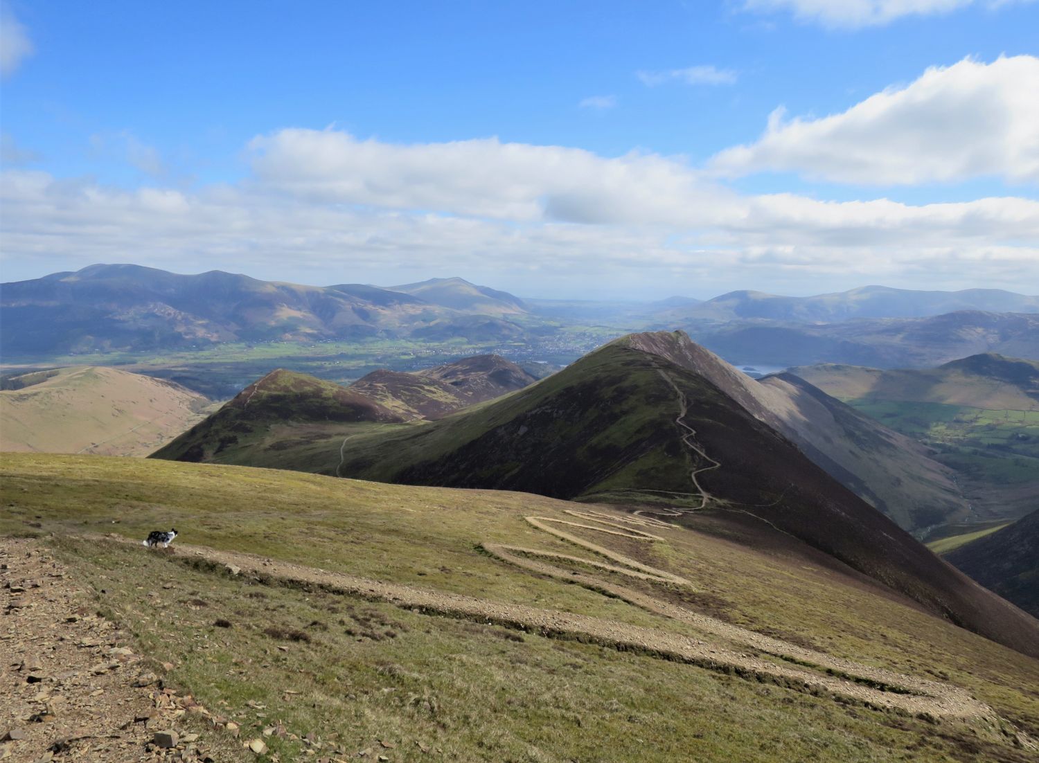
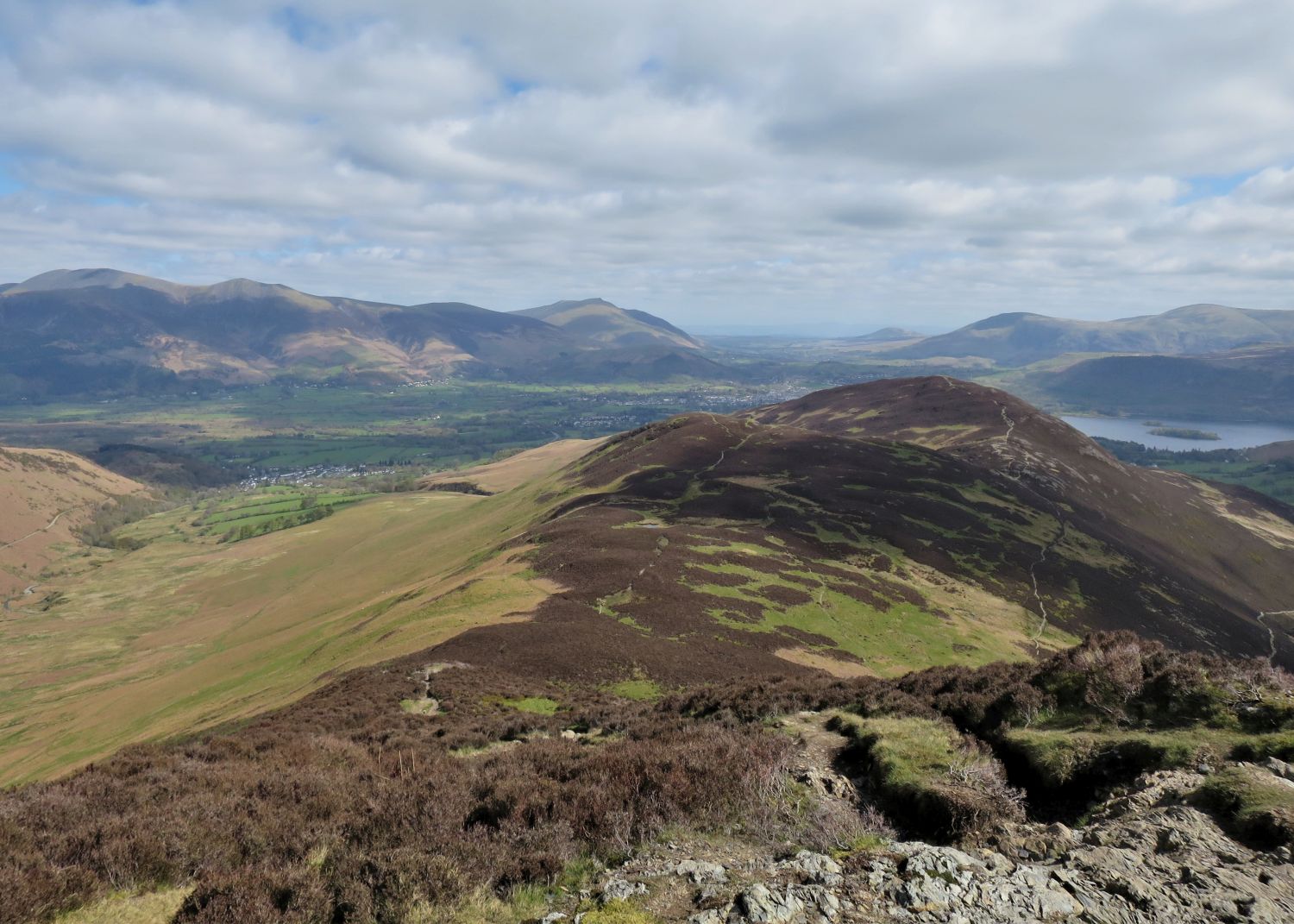
“The valley of Coledale, coming down straight as an arrow to Braithwaite, is deeply enclosed by a continuous horseshoe rim of high summits, from Causey Pike round to Grisedale Pike, but while the latter descends uncompromisingly in a very steep and unbroken slope, the opposite ridge of Causey Pike is accompanied by a lower and parallel ridge like an inner balcony, the fall to the valley being thereby interrupted.”
Outerside 2
AW
Book Six
The North Western Fells
Eel Crag 10
“Looking to Sail from the top of the east ridge”
“From the survey column head south-east, passing to the right of the big cairn, to the corner of the summit. Thereafter the path is clear, there being no possibility of going astray on the narrow falling ridge. Timid walkers will be aware of their disability at two places where rock must be descended, but may safely venture. Across the depression (not be mistaken for Sail Pass) a good path climbs up Sail summit….”
Eel Crag 10
AW (revised by CJ)

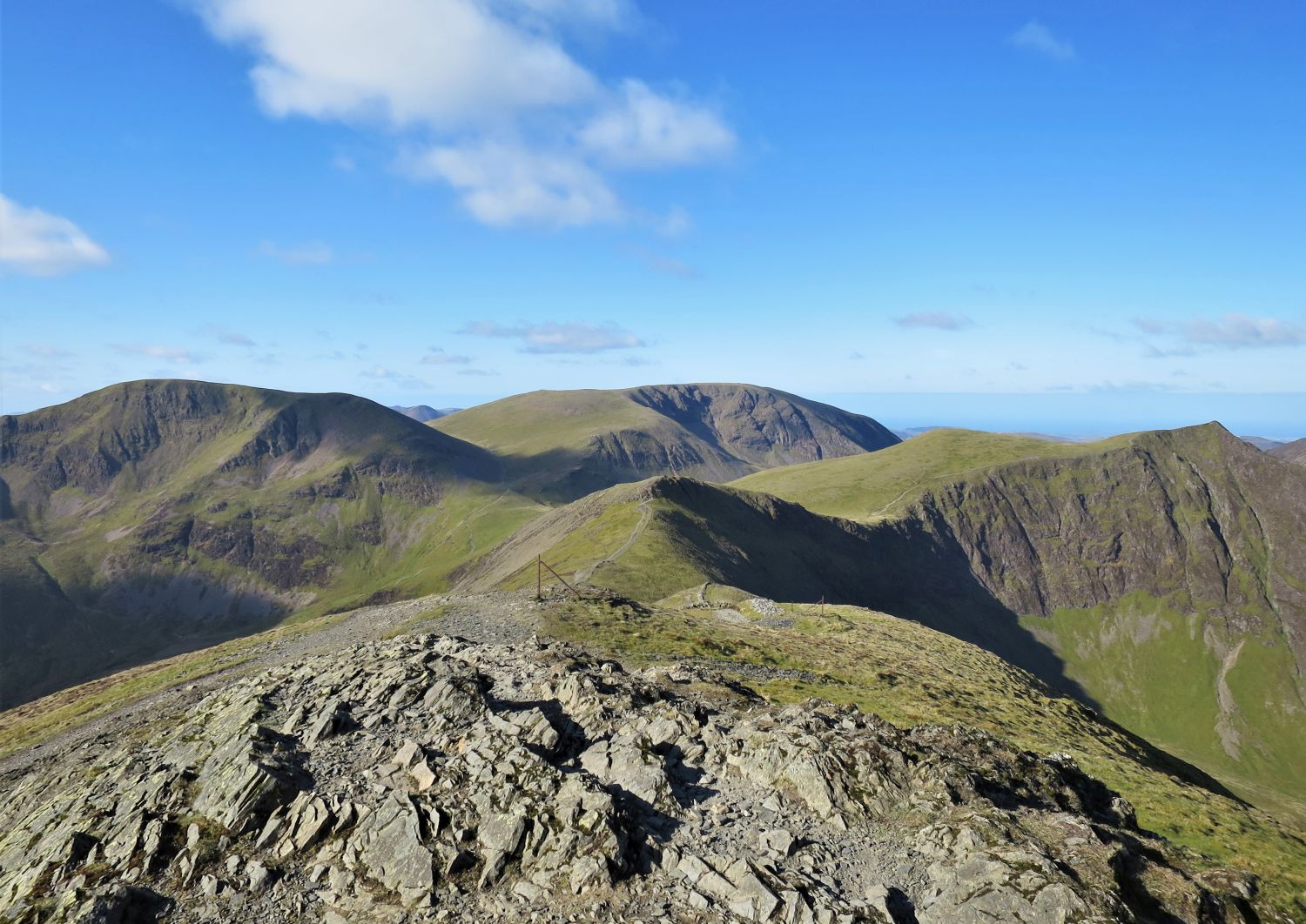
The view to the south from The Scar, with Sail Beck down on the left and Wandope over on the right. The ridges of Pillar and High Stile dominate the horizon.
The view north from the summit of Sail, with Grisedale Pike and the Northern Fells.
“The summit, a rounded dome of heather and mosses, has nothing of immediate interest, and the much-trodden path across the top does not even trouble to visit the small cairn 25 yards distant.”
Sail 5
AW
“Sail is the least obtrusive of the 2500-footers, being completely dominated by its vaster and more rugged neighbour, Eel Crag, and an absence of attractive or interesting features adds to its inferiority complex.”
Sail 2
AW
“A long swinging downhill walk….”
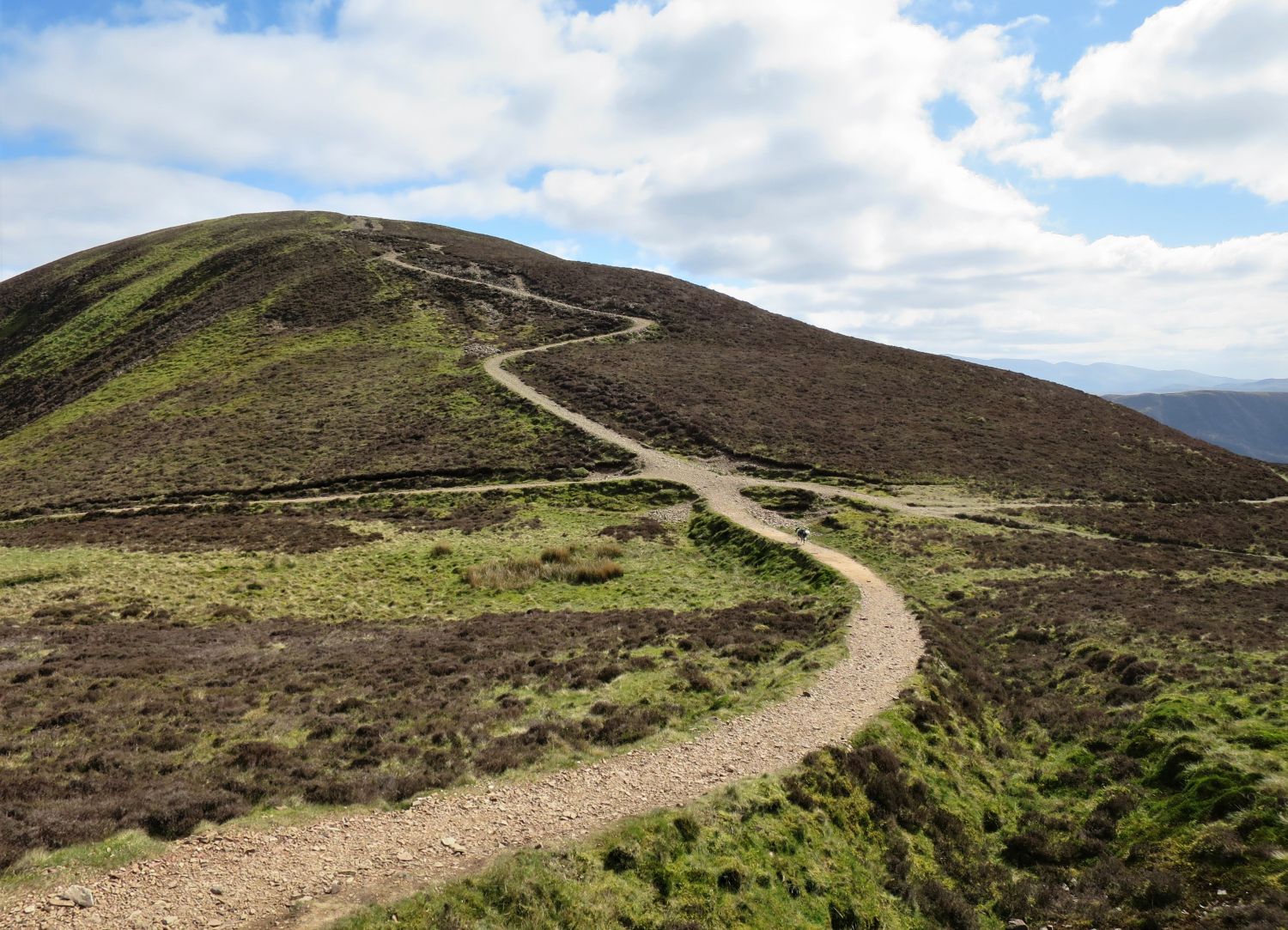
“….that leads to Sail Pass (right for Buttermere, left for Stair and Braithwaite) whence the long flat top of Scar Crags is quickly reached up the opposite slope.”
Sail 5
AW (revised by CH)
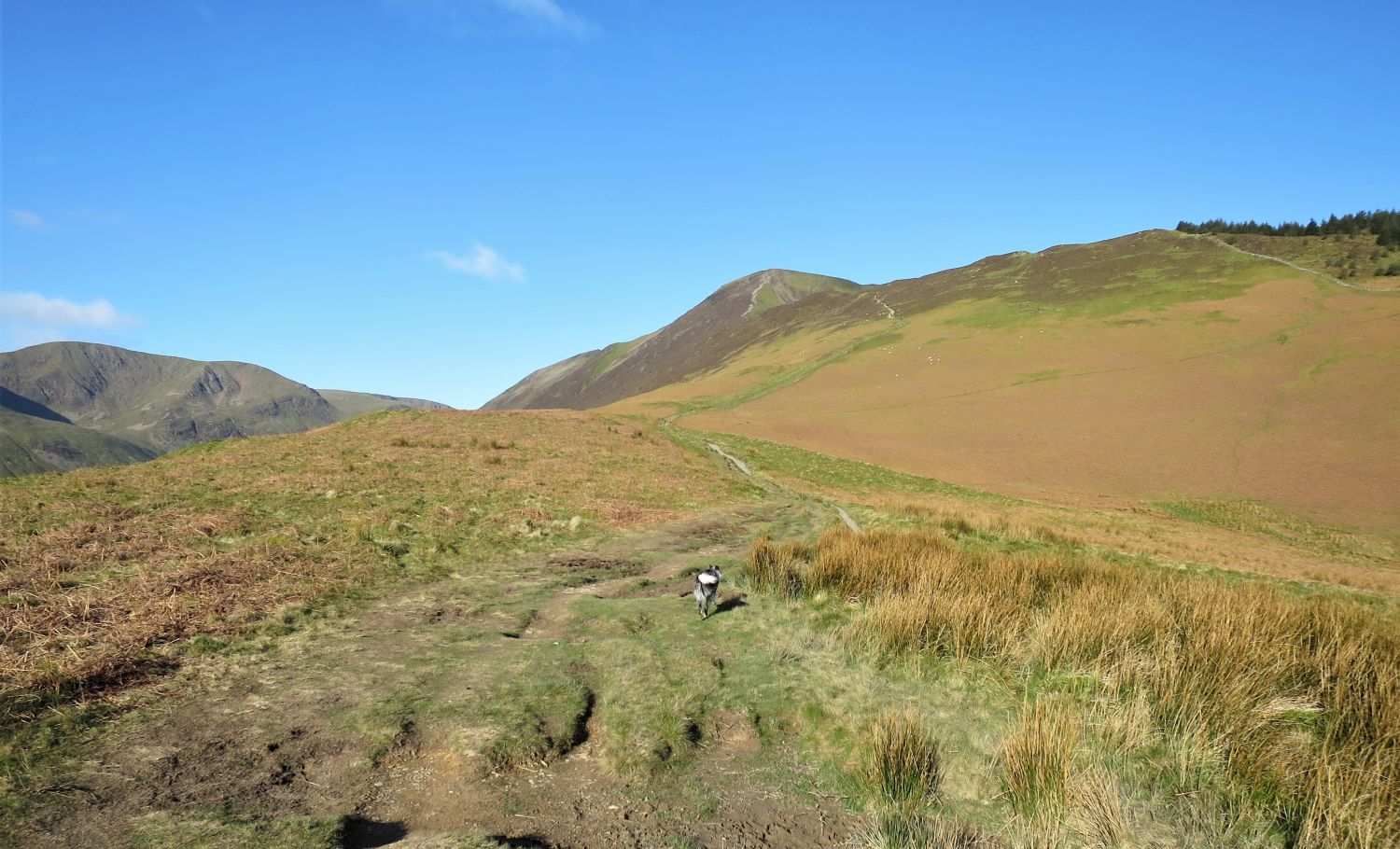
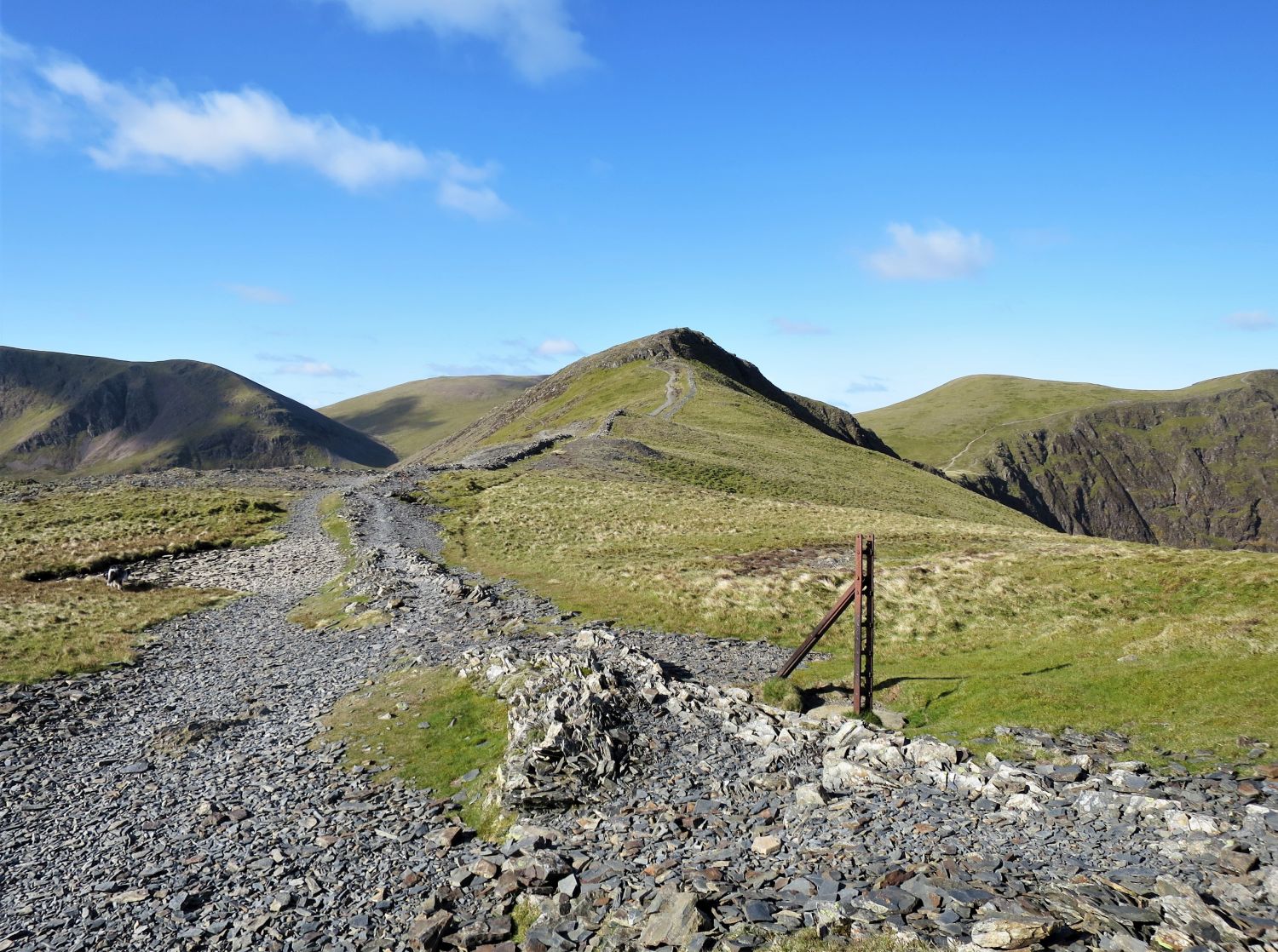
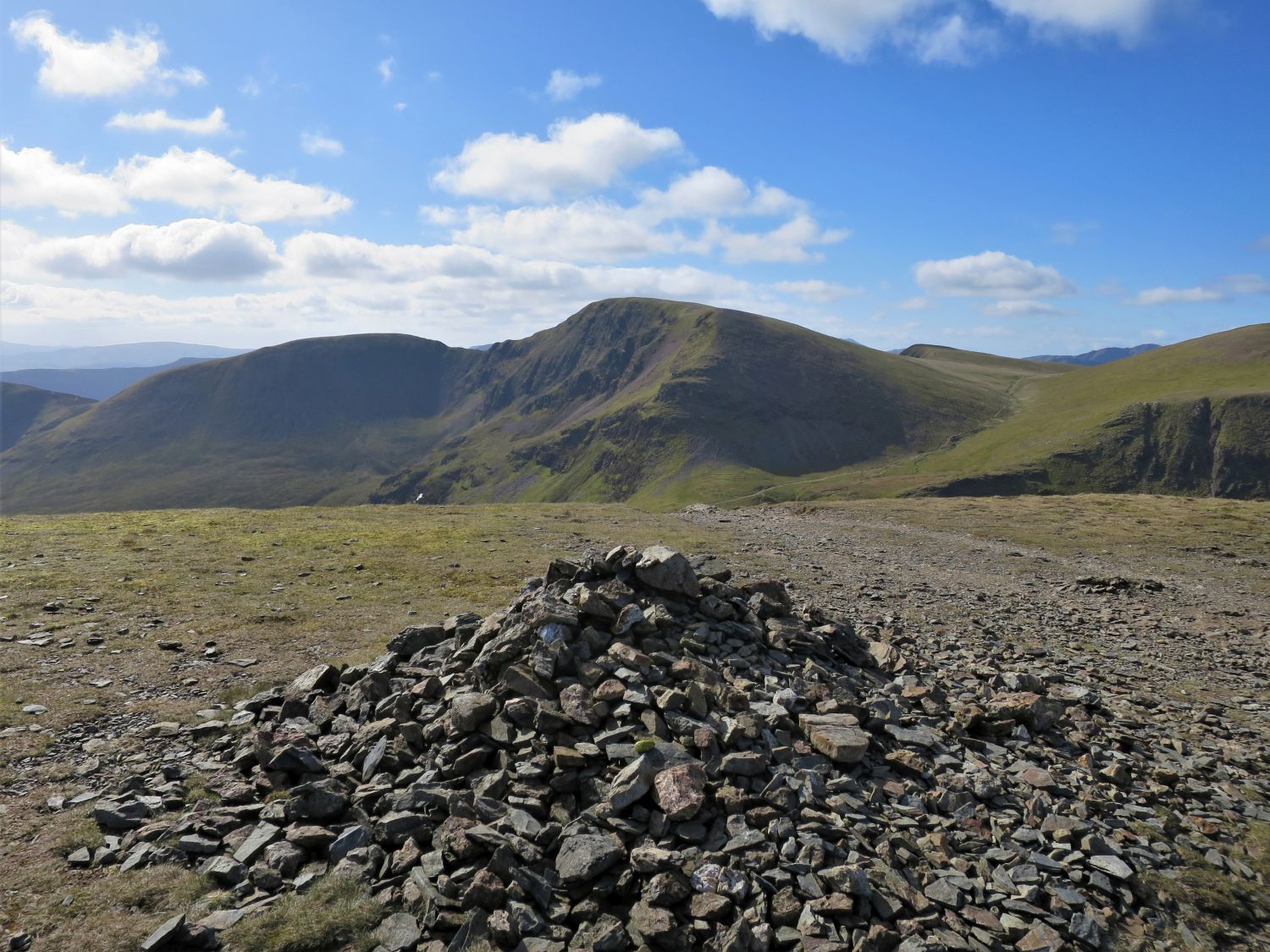
From Sail Pass, follow the path on the left, which descends to Outerside and Barrow. As mentioned earlier, there’s also the option to continue straight ahead to climb Scar Crags and Causey Pike.
Just below Sail Pass is the site of an old cobalt mine.

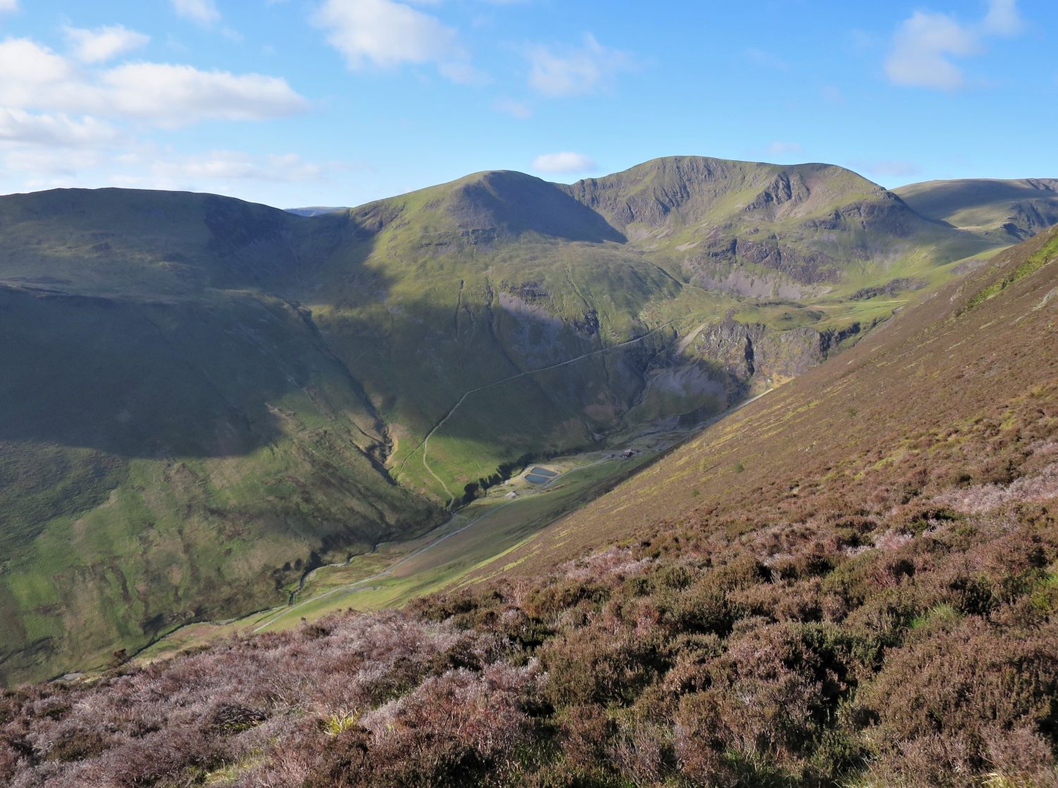
A view across the valley from the miners’ path, with Sand Hill, the ‘subsidiary summit’, and Grisedale Pike towering above. Force Crag Mine sits isolated below, its old buildings dwarfed by the steep slopes and rugged skyline.
“From the east the highest point is reached at the end of a gradual incline; from the west it appears abruptly at the top of a rising pavement of embedded rocks: here a few loose stones form a small cairn.”
Outerside 6
AW
The view to the south west from the summit, with Sail Pass (left), Sail, Eel Crag and Coledale Hause (right).
“The Pike, although of slender proportions on and towards the top, is quite broadly based, occupying the west side of Coledale through the three-mile length of the valley, from which the slopes of the fell rise steeply and unbroken for 2000 feet to a narrow crest. On this face heather and scree below the summit rocks offer nothing to the climber but hard labour, a fact so obvious that it is virtually a no-man’s-land….”
Grisedale Pike 2
AW
From the summit, follow the path down the north-east ridge that leads to Low Moss and Stile End.
“If the ridge is to be followed conscientiously, the traverse of Stile End must be included in this walk, although this middle height can more easily be bypassed between Low Moss and Barrow Door.”
Outerside 8
AW
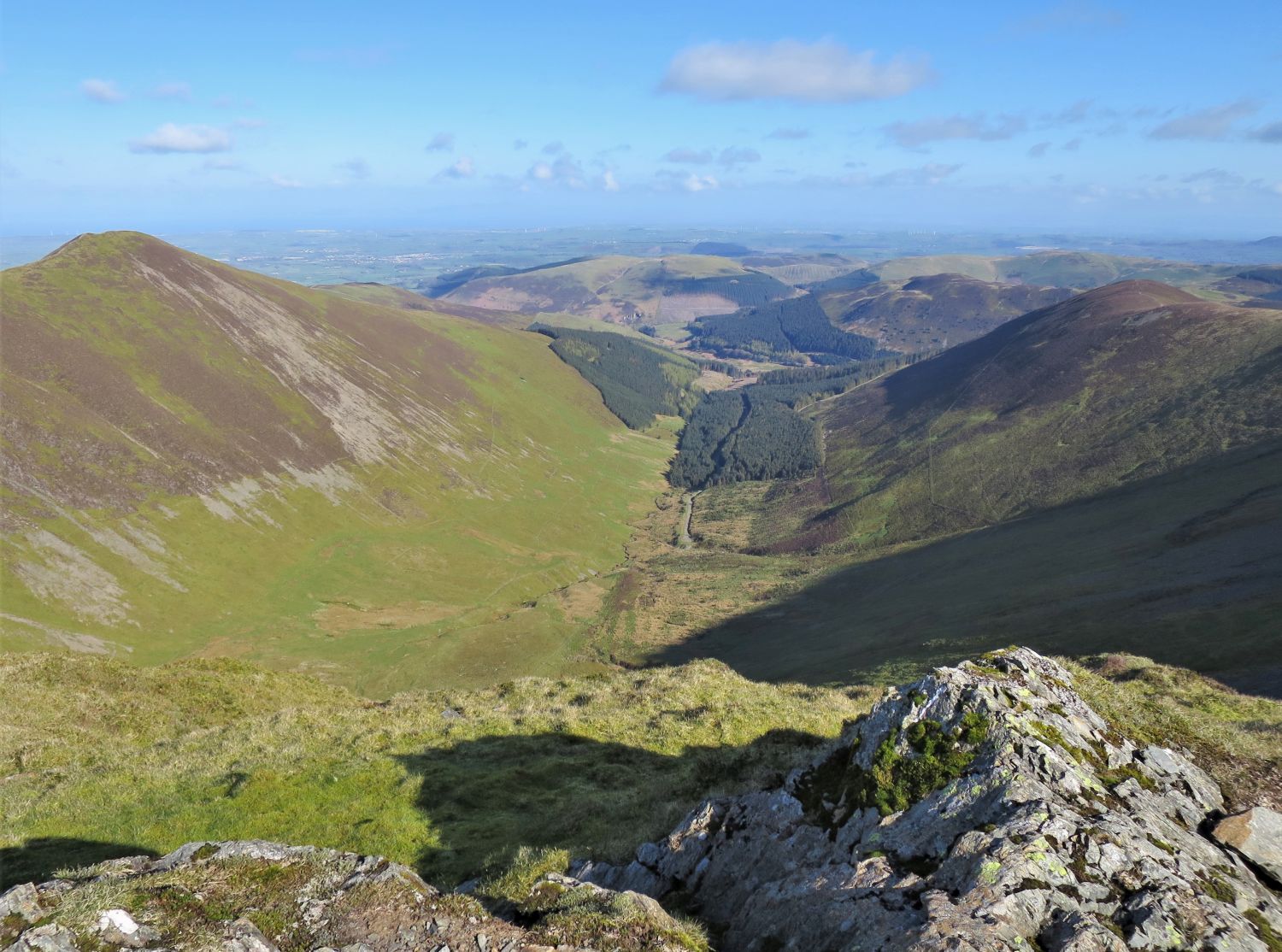
The view to the south west from the summit, with Causey Pike, Scar Crags, Sail, Eel Crag, ‘subsidiary summit’, and Grisedale Pike, all encircling Outerside and Stile End.
“Outerside is severely circumscribed by the mountains around Coledale, which maintain a consistently higher skyline, and only between north and south-east is there an open prospect.”
Outerside 7
AW
<<>>
Thanks, sources and further reading:
‘Book Six – The North Western Fells’ by Alfred Wainwright