This wonderful walk from Seathwaite in the Duddon Valley, rewards so much that it’s so easy to get carried away with the camera; the 50+ photos in this post proves my point! It is, without doubt, one of those routes that you mark down as a “must do every year” or, a “have to show our friends when they visit” type of walk. It is a true gem of Lakeland, and the month of May makes it even more special because bluebells carpet the floor of Hollin House Wood, and Grassguards Native Woodland is bursting with activity as the depths of spring provides colour and song.
Free parking is provided opposite the Holy Trinity Church at Seathwaite, with enough room for 3 or 4 cars; get there early though! There is also a parking area at the Seathwaite Parish Room (hall) nearby, with a request for a £2 donation for the day.
GPX Route: Download
PDF Route: Download
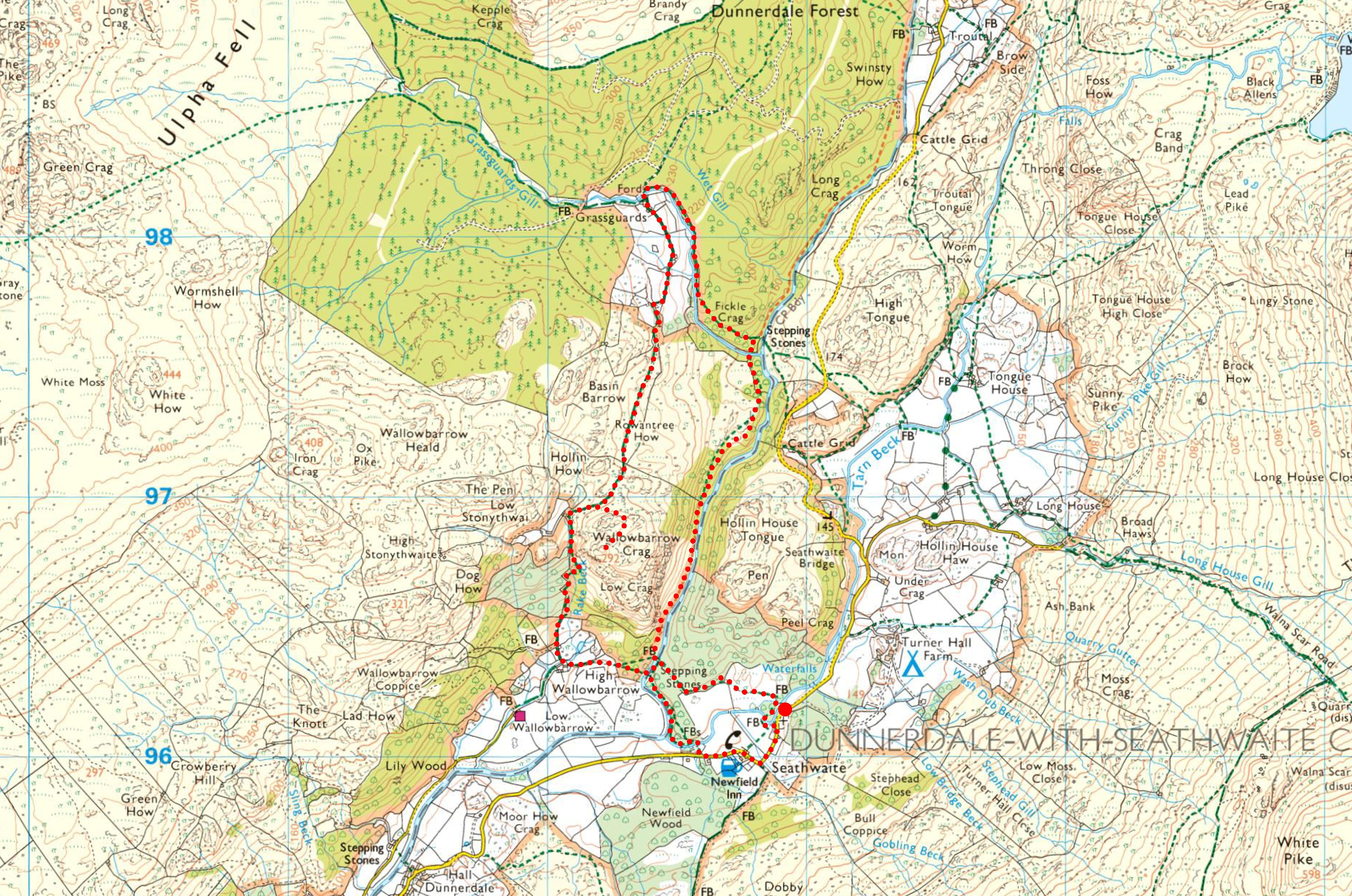
Seathwaite > Hollin House Wood > High Wallowbarrow > Rake Gill > Wallowbarrow Crag > Rowantree How > Grassguards > Grassguards Gill > Wallowbarrow Gorge > Hollin House Wood > Seathwaite
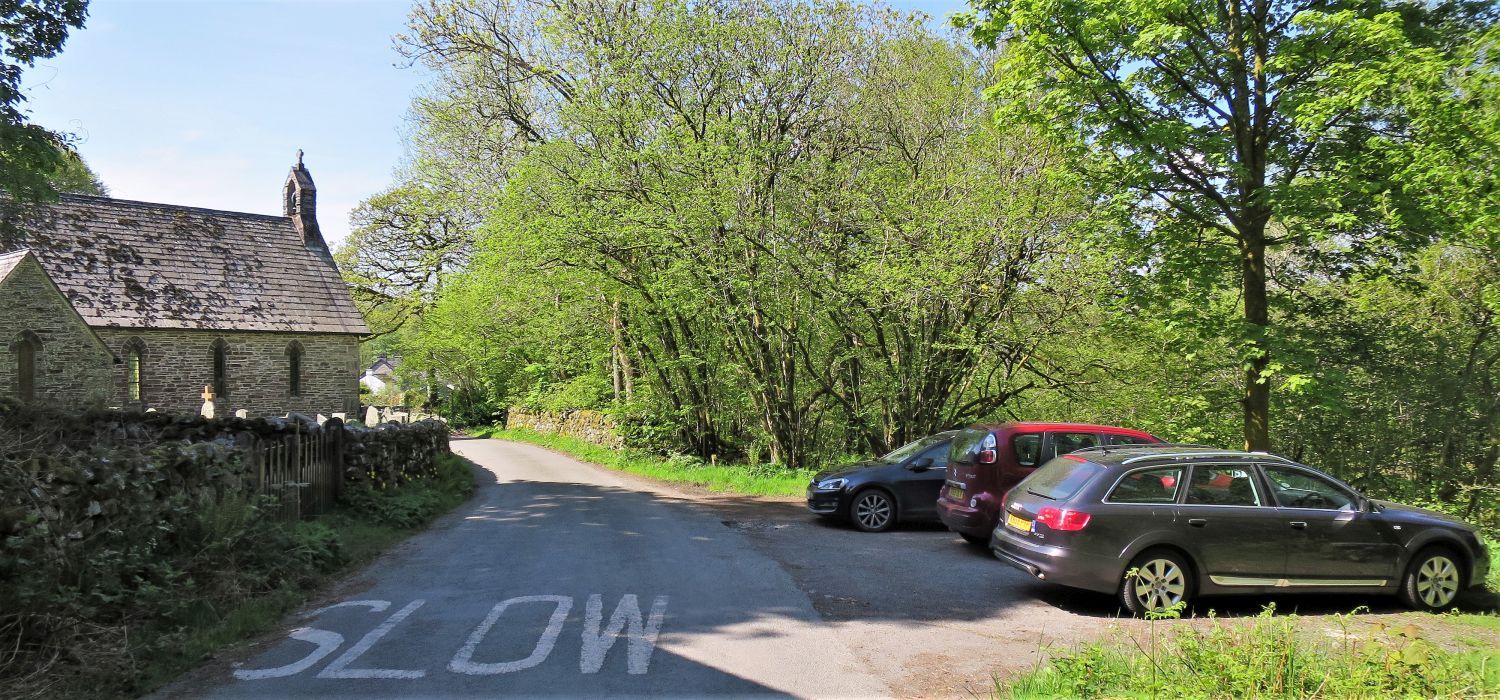 Parking area opposite the Holy Trinity Church at Seathwaite
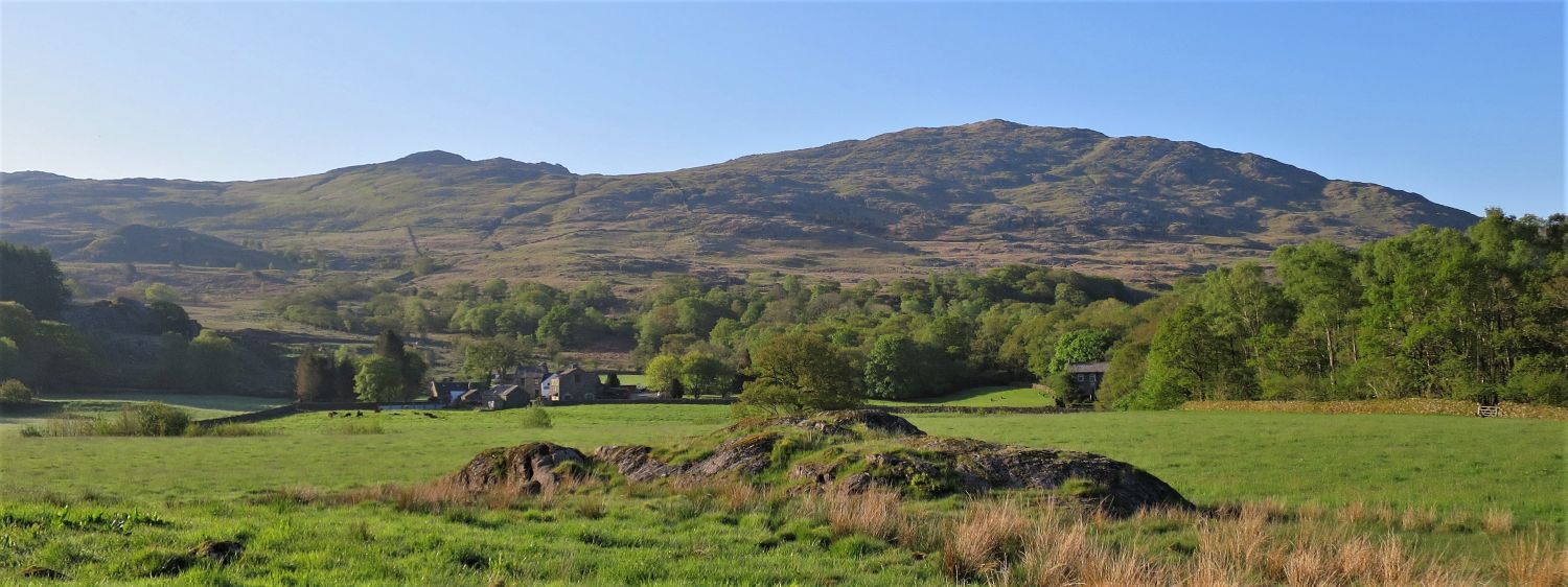
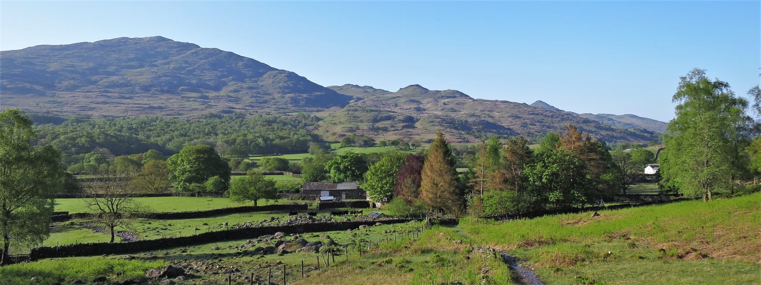
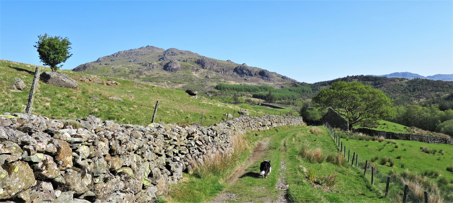
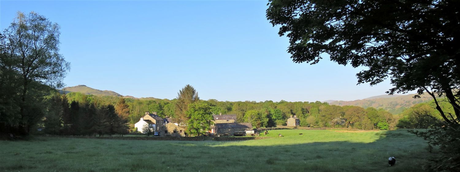 The small hamlet of Seathwaite from near Tarn Beck
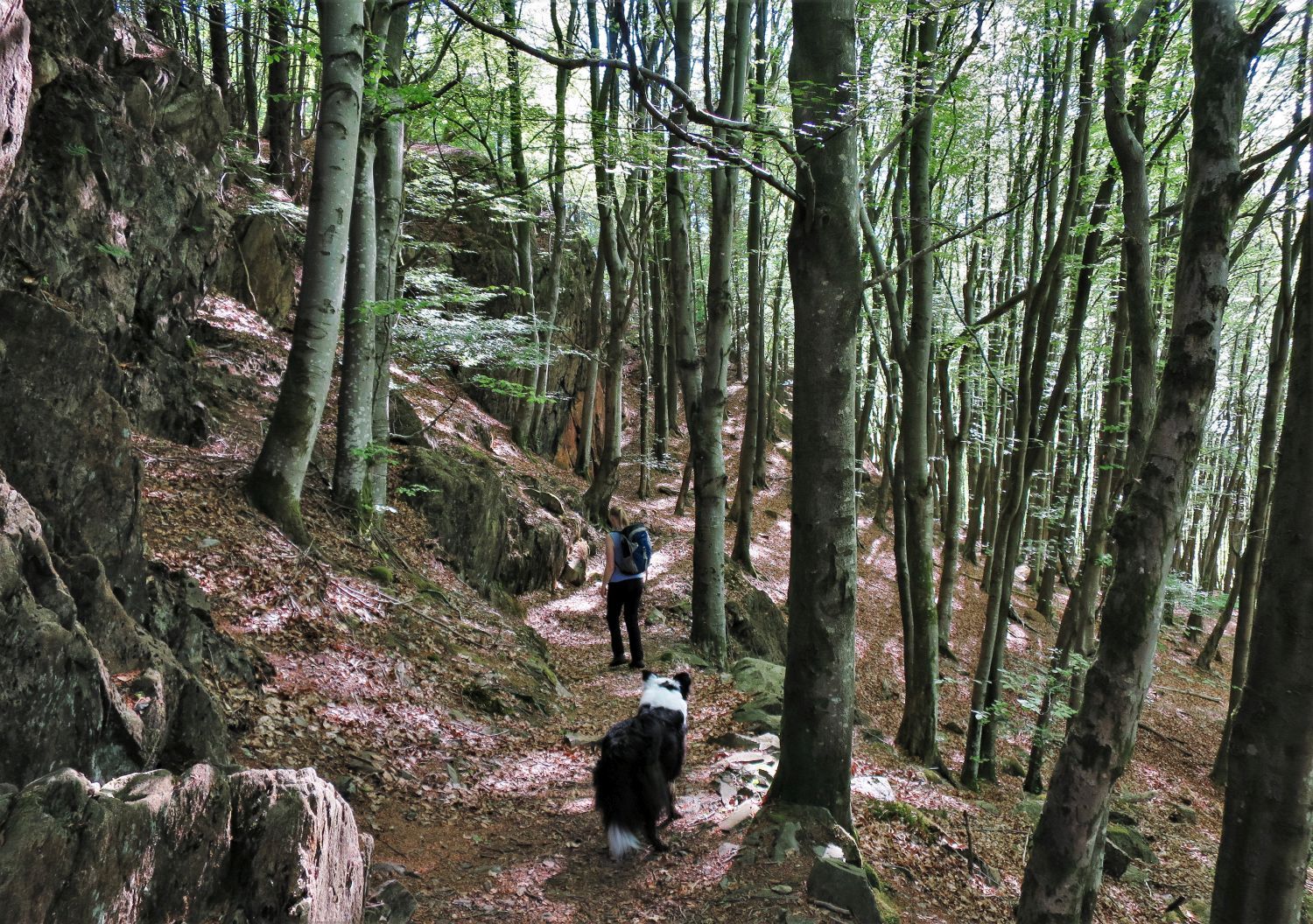
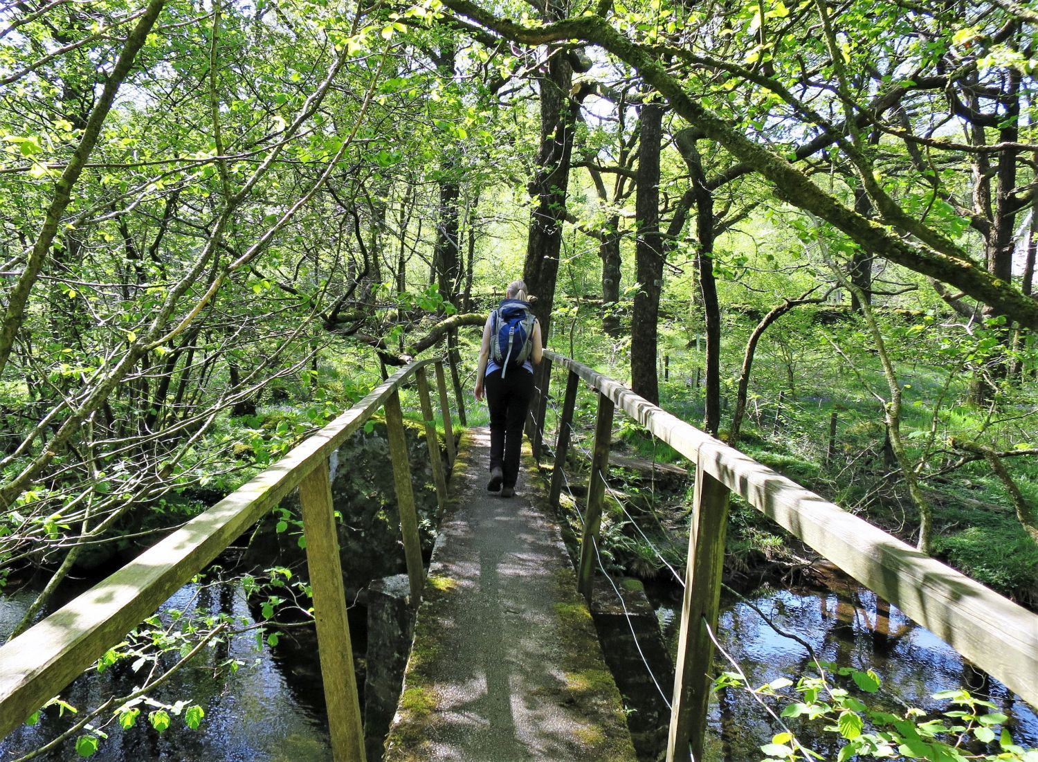
After passing the church a stone stile opposite leads into a field. Here, a small footbridge over Tarn Beck leads us into Hollin House Wood.
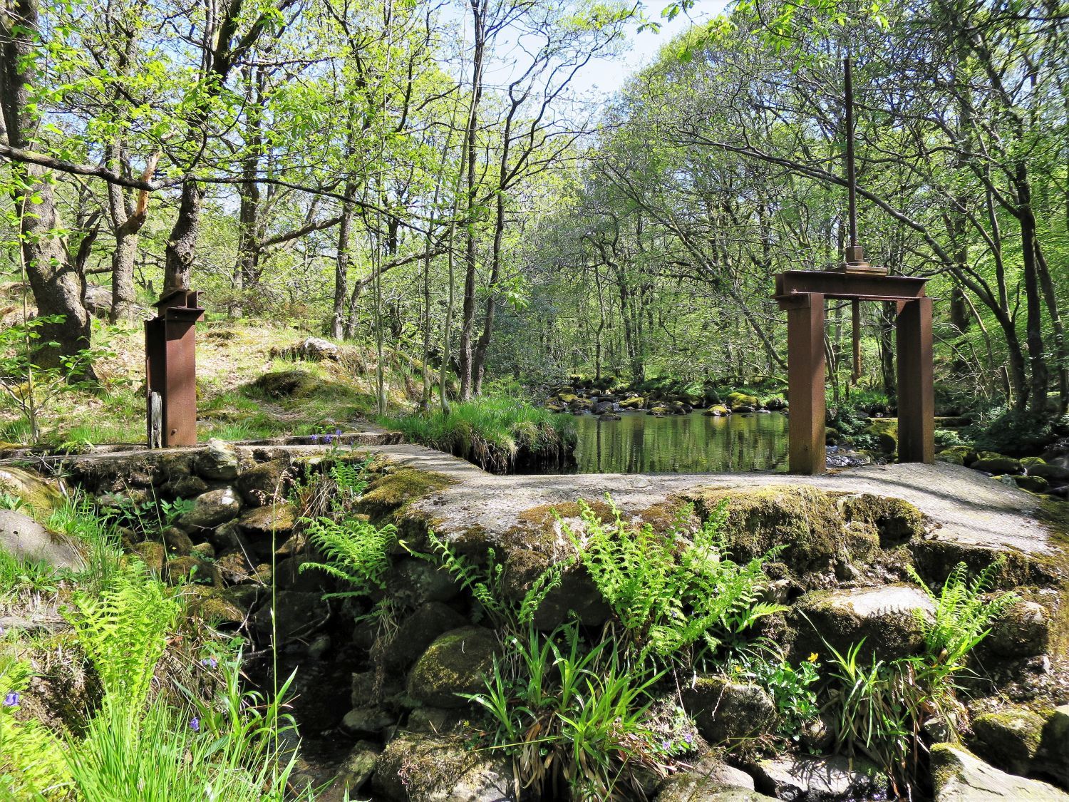 Old iron sluice gates at Tarn Beck
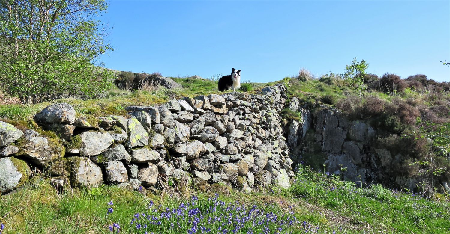
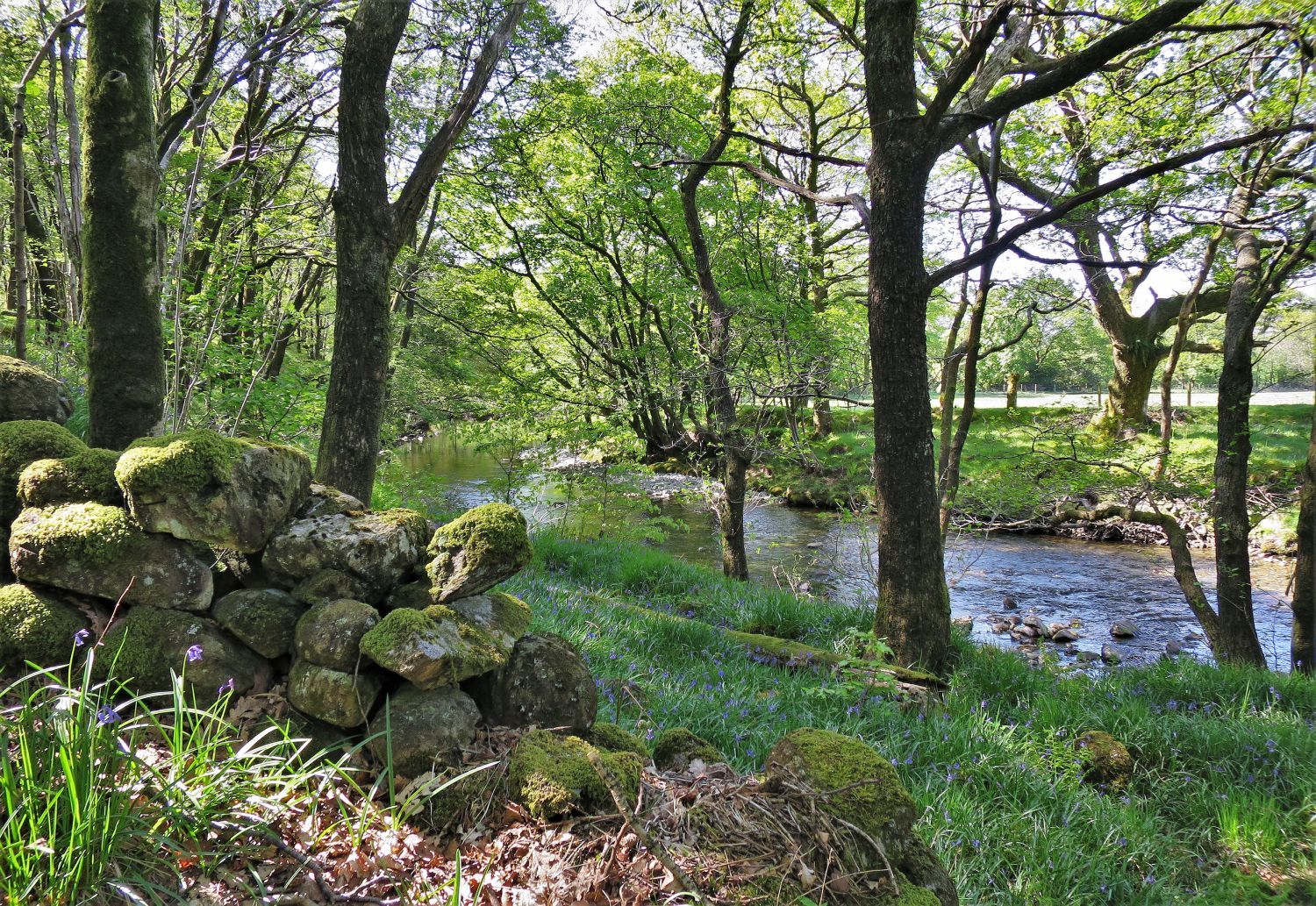
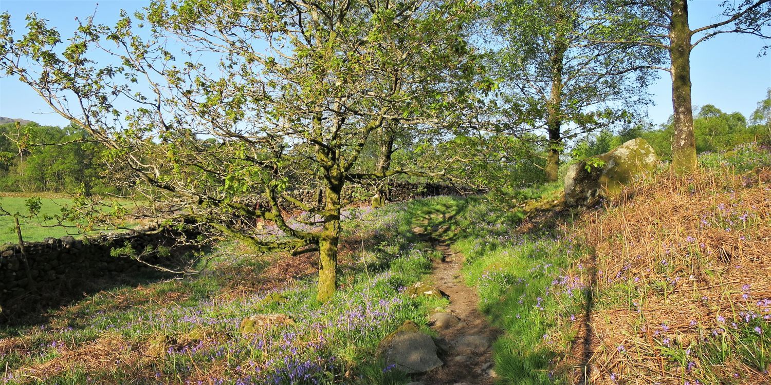 Bluebells on the edge of Hollin House Wood
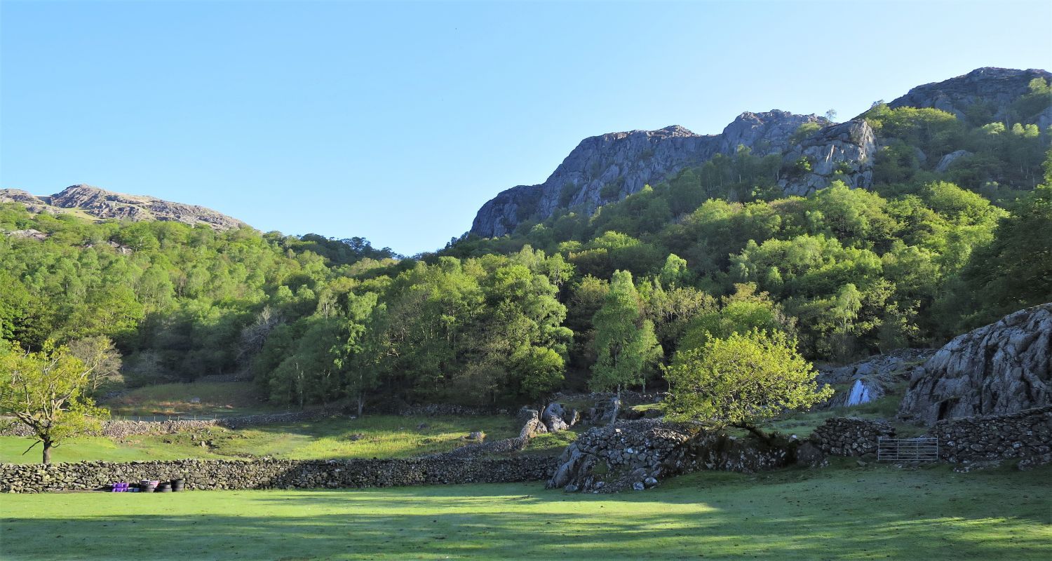
 Caw over the small hamlet of Seathwaite
 Bluebells in Hollin House Wood
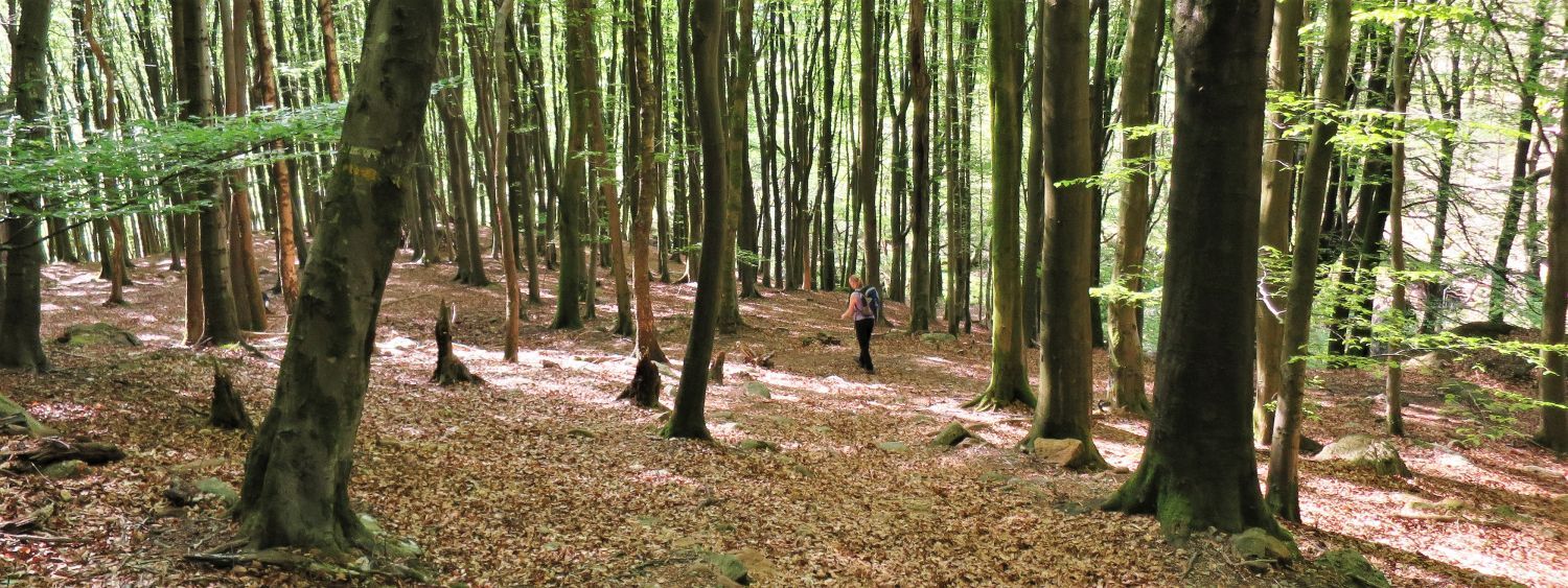
We now enter the deeper part of Hollin House Wood, where the bluebells dominate the floor.
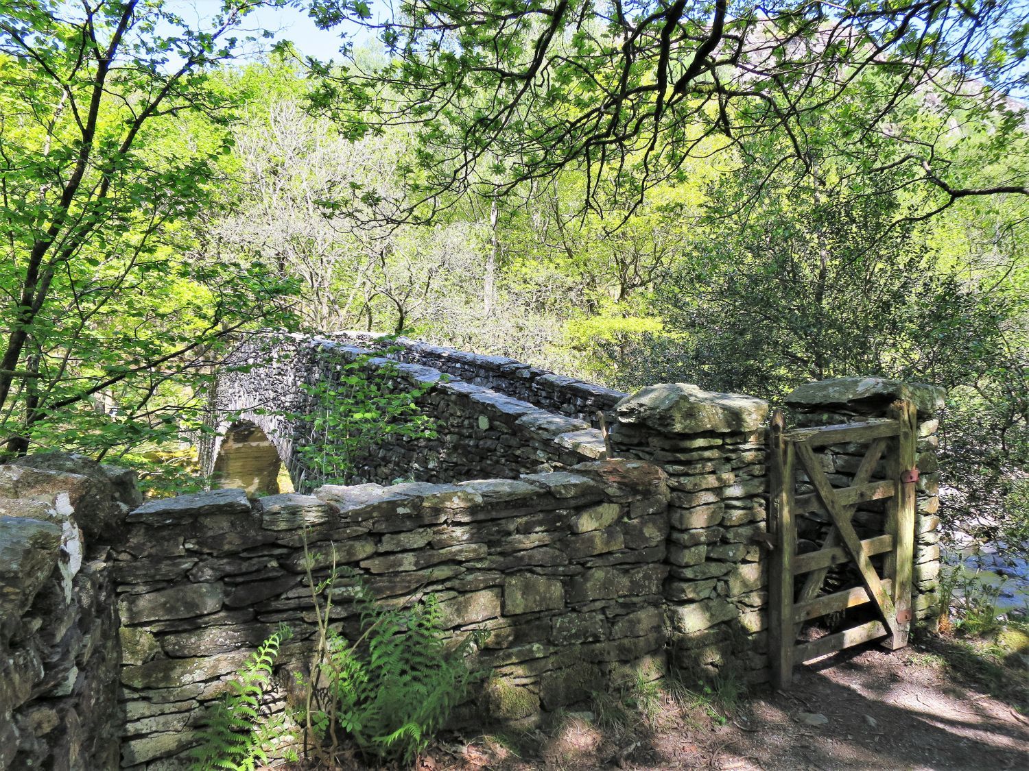 Memorial Bridge over the River Duddon
It’s so tempting to cross this fantastic footbridge, which leads into Wallowbarrow Wood, however, we divert left towards the stepping stones over the River Duddon; we shall cross the footbridge on our return journey.
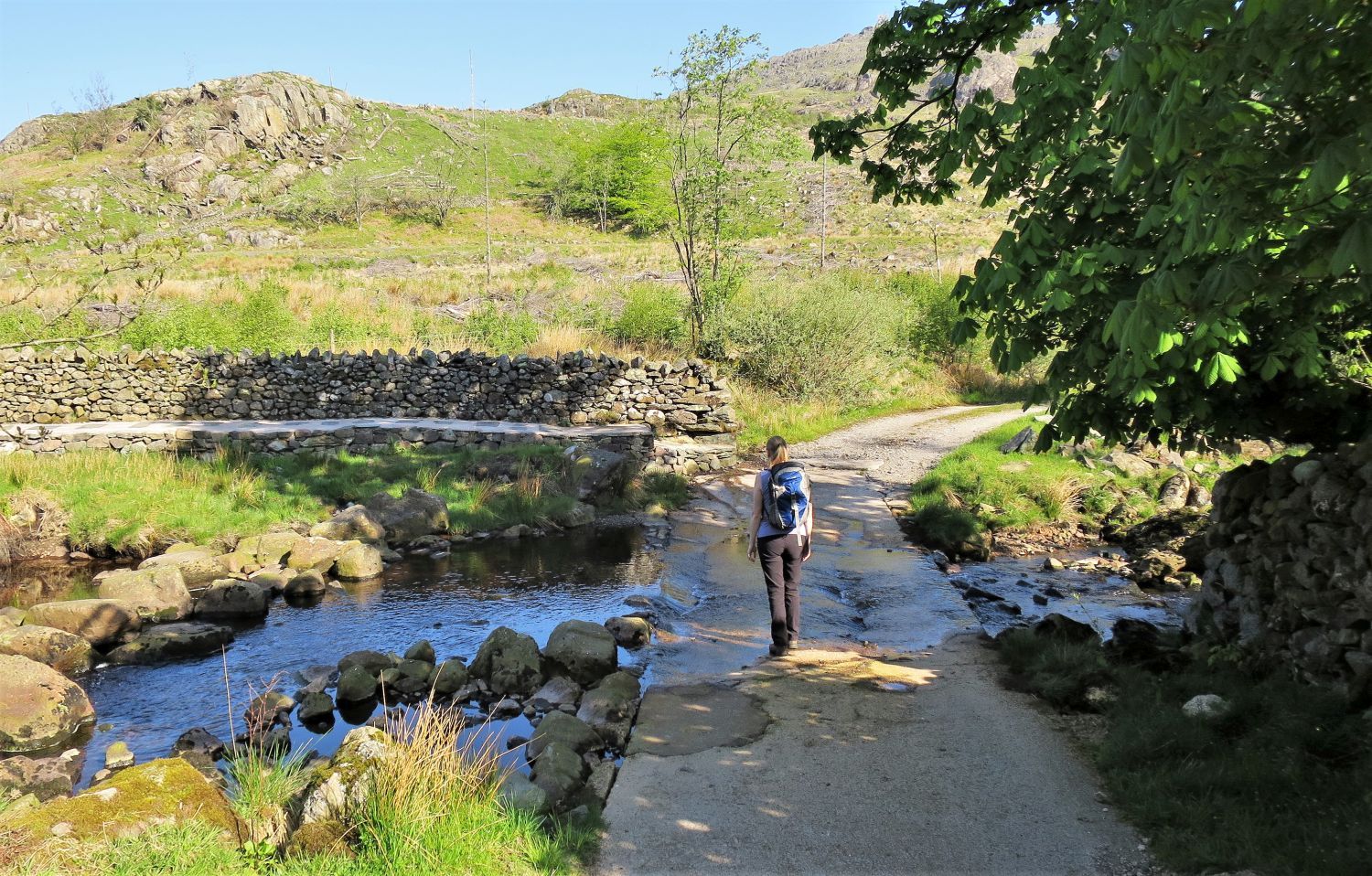
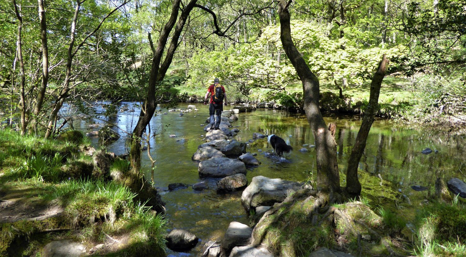 Stepping stones over the River Duddon
Frankie is taking a more adventurous route!
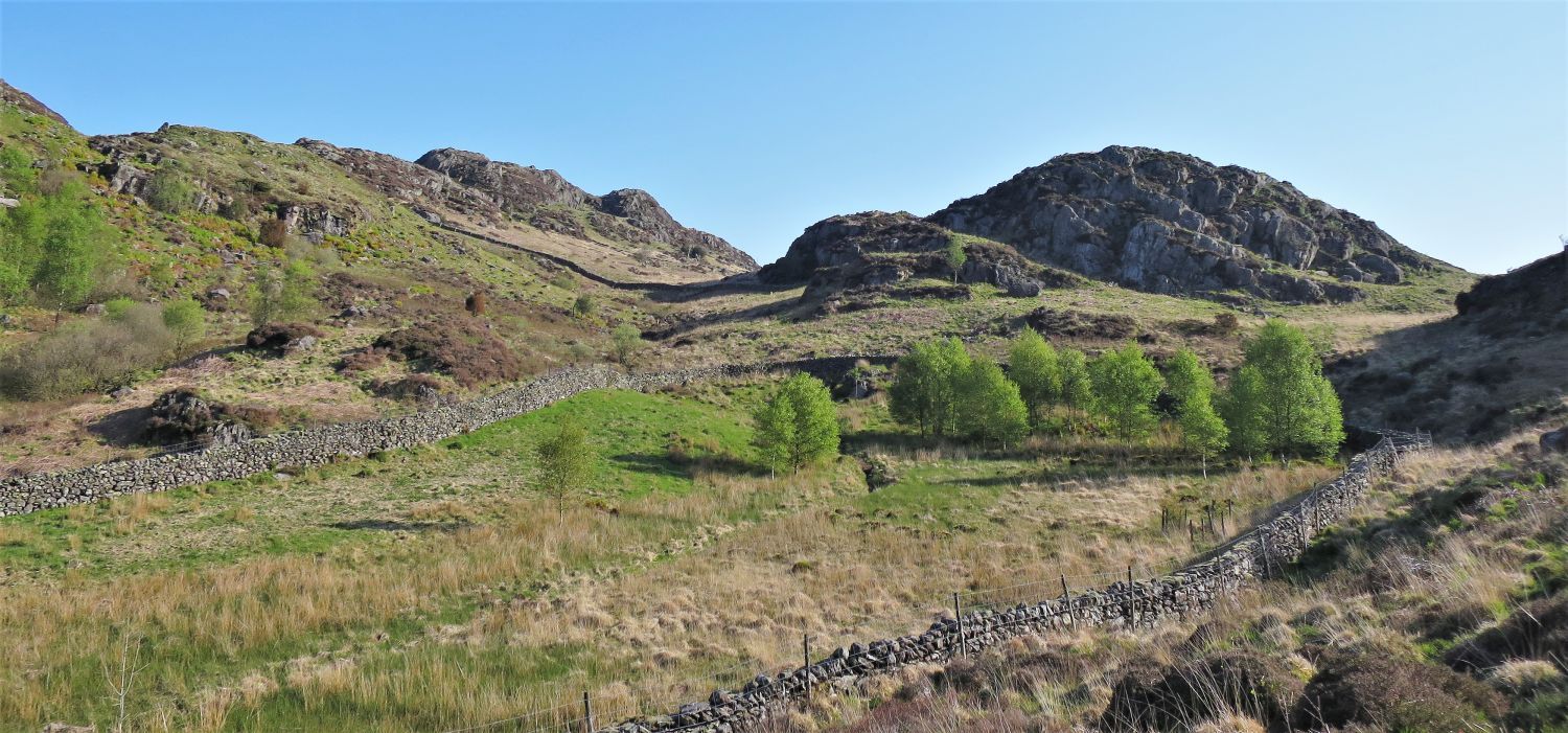
 Wallowbarrow Crag from High Wallowbarrow
We are not in Wallowbarrow Wood for long and soon arrive onto open farmland. The impressive cliffs of Wallowbarrow Crag tower over us, which are very popular for climbers, and peregrine falcons!
 Approaching High Wallowbarrow Farm
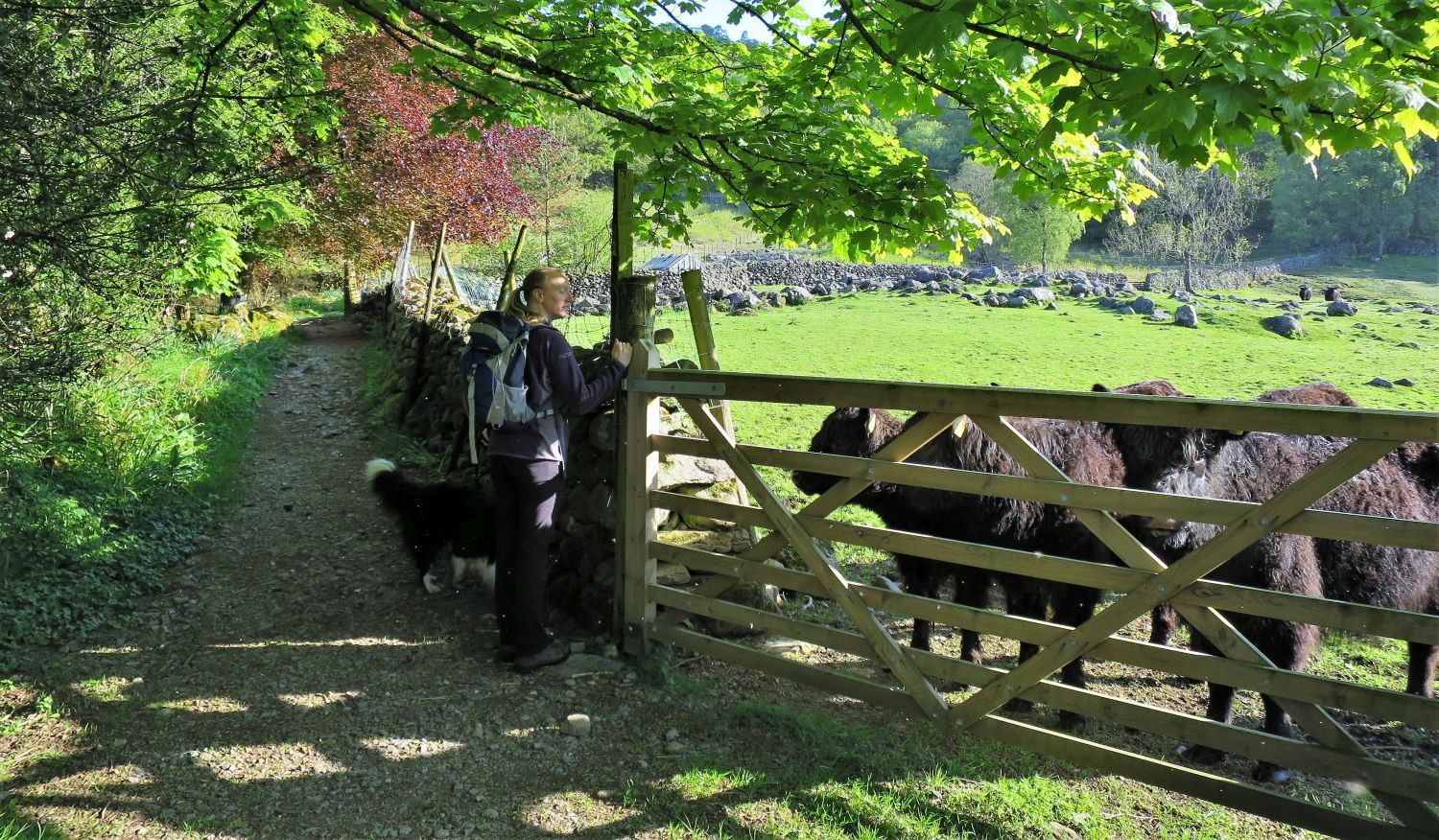 Young Galloways at High Wallowbarrow Farm
These cattle came rushing over towards us and started bellowing out loudly, and with it still being very early, it’s a wonder they didn’t wake the whole valley.
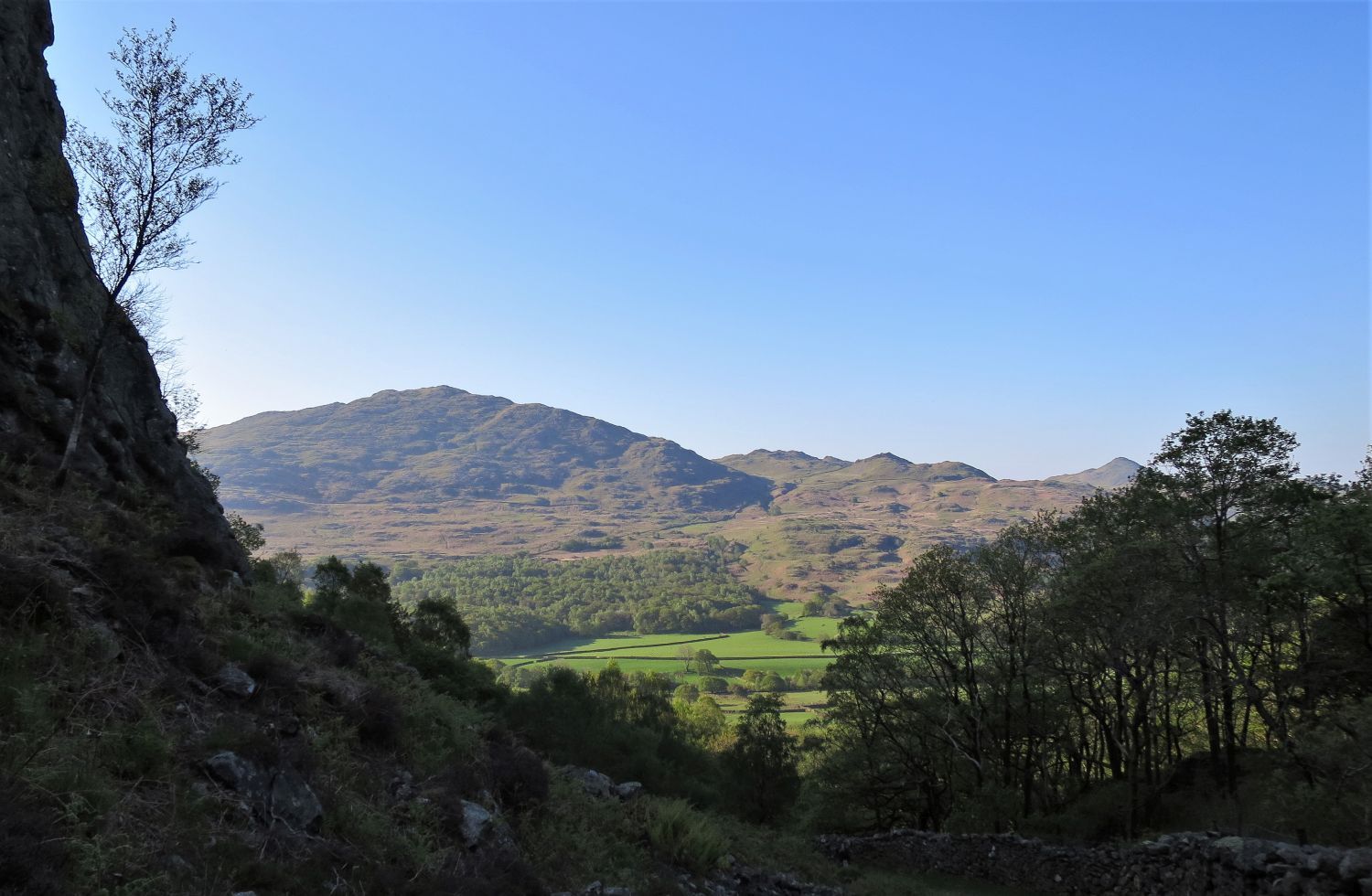
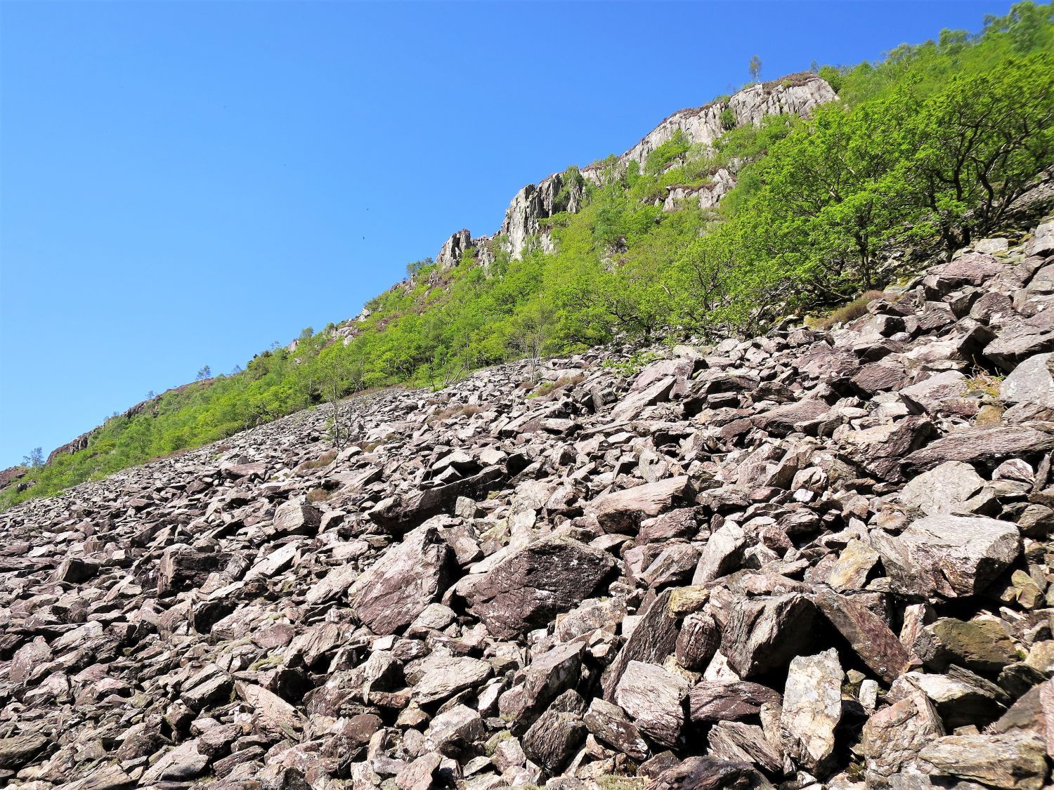
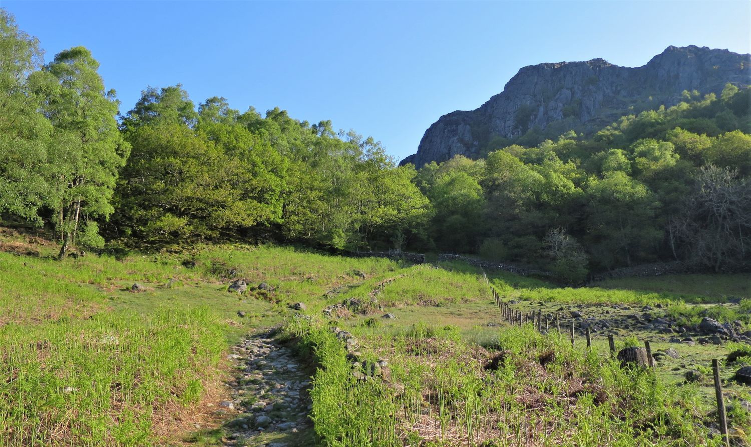 Wallowbarrow Crag from the approach to Rake Gill
After walking through the farmyard we now head for Rake Gill, which winds its way up the western flank of Wallowbarrow Crag.
 Looking back to Caw, Fox Haw and Stickle Pike over High Wallowbarrow Farm
 Ascending through Rake Gill
 Looking back to Caw from Rake Gill
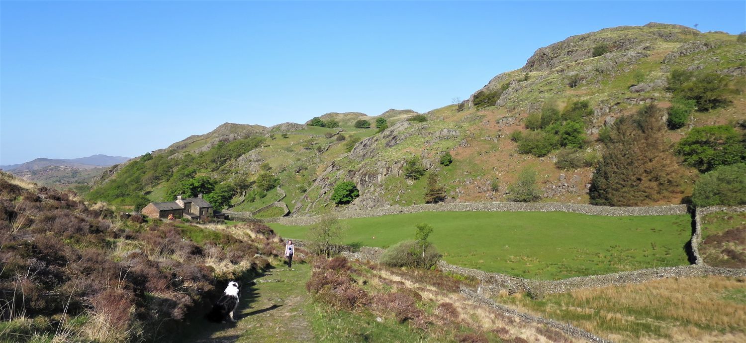
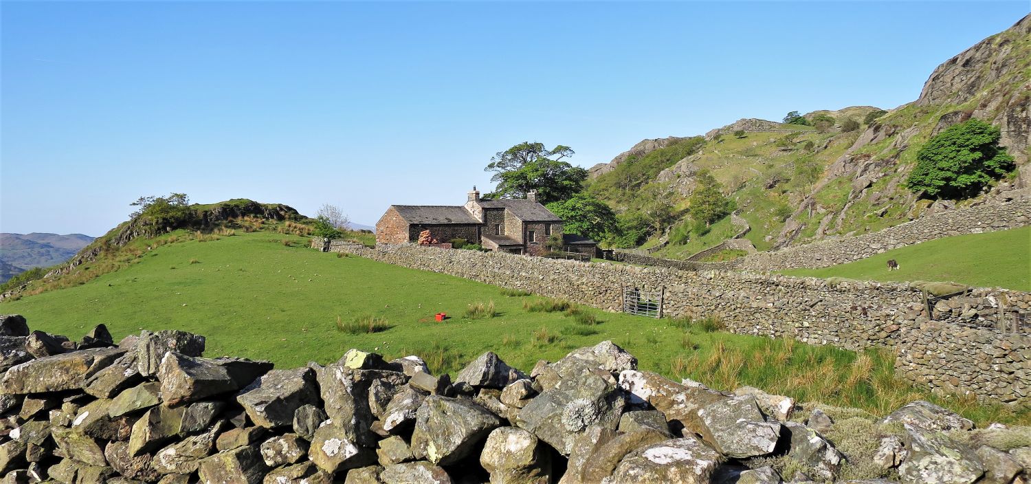 Passing Low Stonythwaite
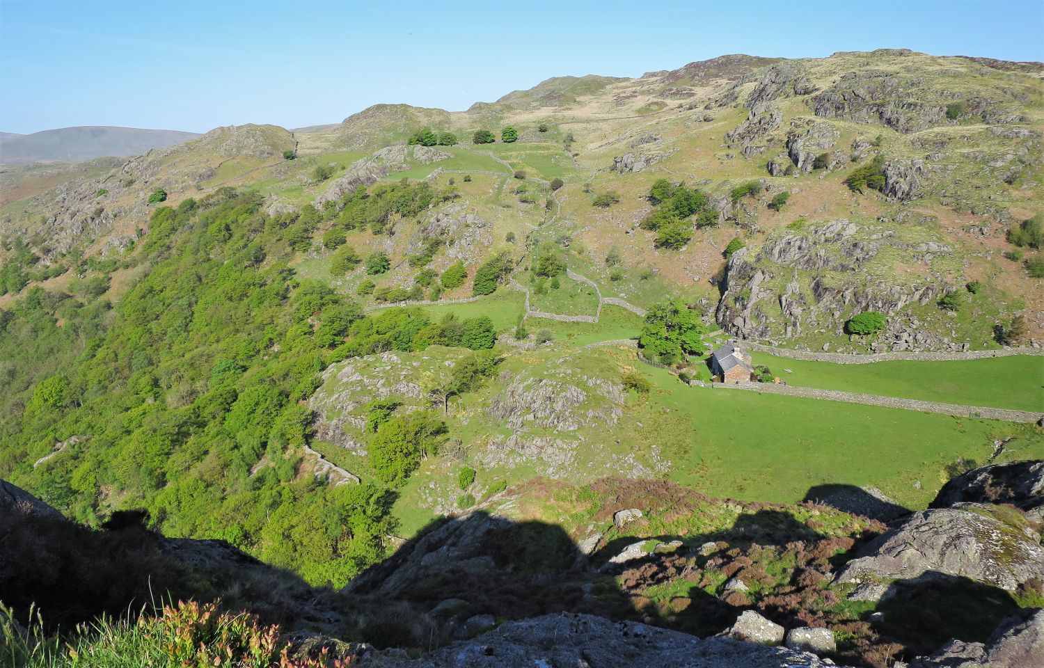
Once we reached the top of Rake Gill, interest lies over this wall to our left. This building at Low Stonythwaite, which I presume is someone’s home, is in such a picturesque location.
 Hollin How over Low Stonythwaite
 Looking back at The Pen (right) over Low Stonythwaite
I couldn’t resist looking back at the property as we walk along the only lane (bridleway) that leads to it. Even though the lane is great to walk on, I don’t think the average family car would find it too easy.
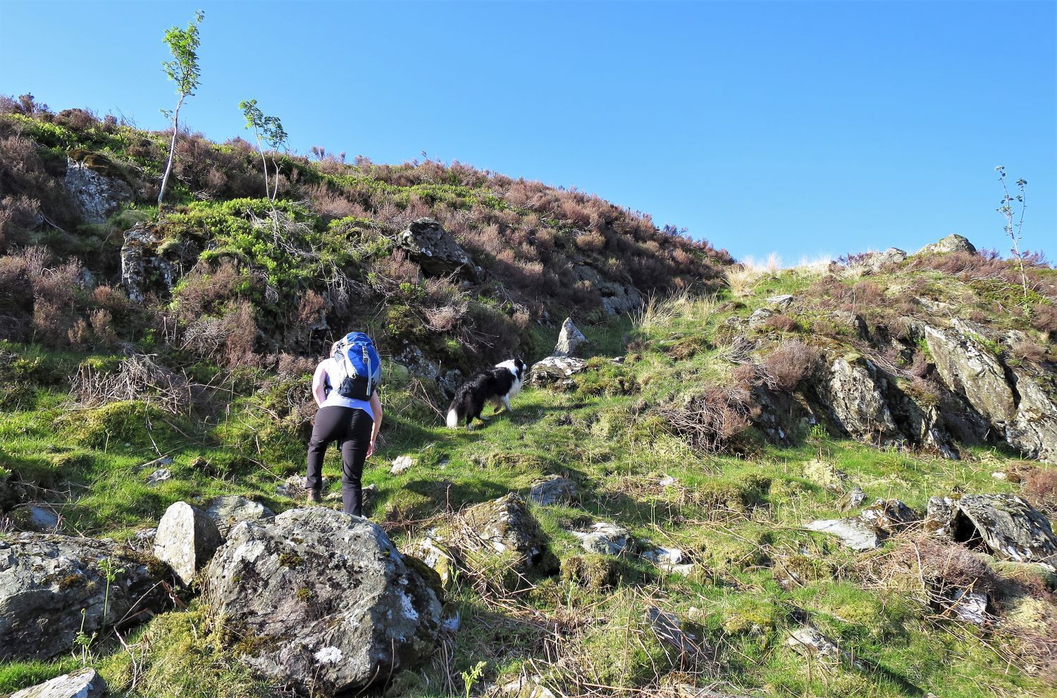 Ascending Wallowbarrow Crag
When the lane reaches the north flank of Wallowbarrow Crag, we leave it and follow an indistinct path to climb towards the summit. A natural groove provides an easier ascent over the rock and heather.
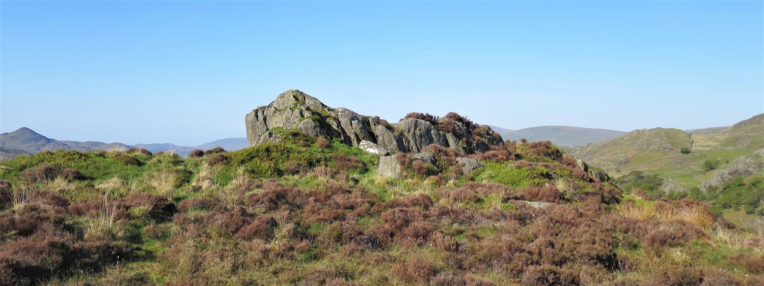 Approaching the summit plateau
After a few false summits, the true summit rock appears in view.
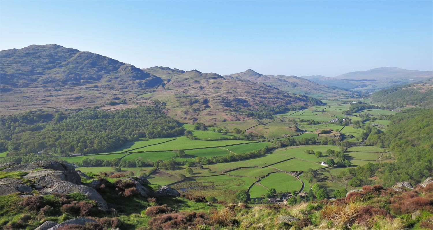 Duddon Valley from the summit of Wallowbarrow Crag
What a view! You may have noticed by now that I am naming the valley “Duddon Valley”, and not “Dunnerdale” like it is named on the OS map. There is much confusion, especially with Hall Dunnerdale on the valley floor and on the bank of the River Duddon, however, I believe Alfred Wainwright got it spot on:
“Dunnerdale, to most Lakeland visitors, is the valley of the River Duddon, this being the name of the parish, but the true Dunnerdale is, geographically, a side-valley of the River Lickle two miles in length and watered by Dunnerdale Beck, quite independent of the Duddon.” Stickle Pike 126, The Outlying Fells of Lakeland
AW
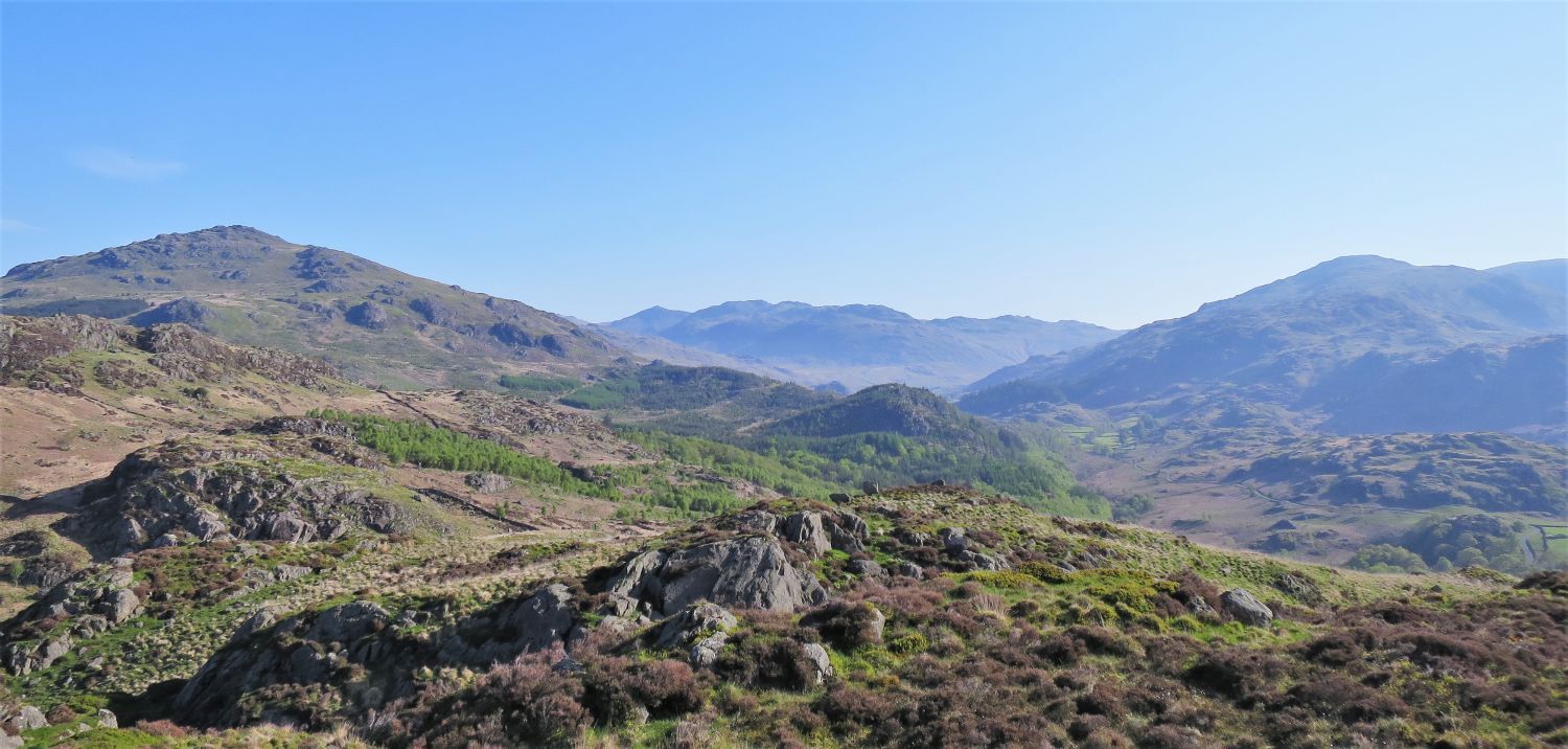 Harter Fell (left) and Grey Friar (right) from the summit of Wallowbarrow Crag
 Looking down to Rake Gill (left) and Low Stonythwaite (right)
We sat here for a while eating our lunch and with our feet dangling over the edge, and wondering what it would be like to live there? Could you be that isolated?
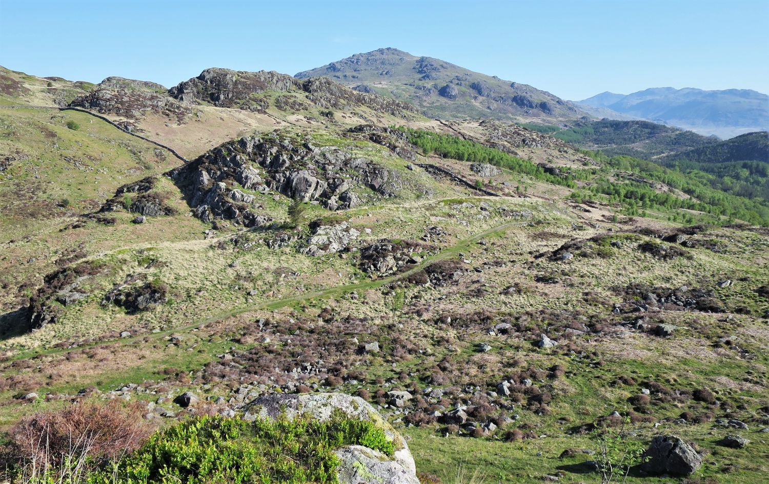 Descending back to the old bridleway from Wallowbarrow Crag
Seeing the old bridleway snaking off into the distance, it suddenly got me wondering how long it is? I got the map out and I was stunned to realise it is about 3 miles long. Starting from Birks Bridge and finishing at Low Stonythwaite, it must be the longest driveway in the Lake District!
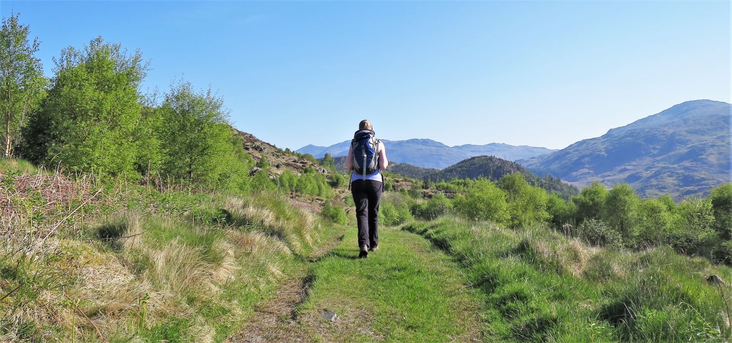
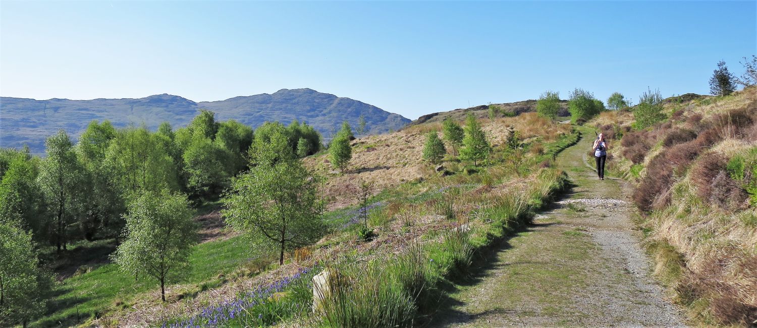
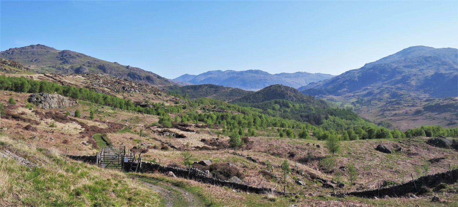 Approaching Grassguards Native Woodland
Grassguards Native Woodland is part of a restoration project to link Hardknott Forest with the existing Dunnerdale Woodlands, which are a group of ancient oak woodlands that are scattered along the valley and all the way to the coast. After consultation with local people and organisations, the Forestry Commission has decided to restore the entire Hardknott Plantation in the upper reaches of the valley, into native habitats of oak and birch woodland, bogs and open ground. This project represents an exciting and historic opportunity to create the largest semi-natural woodland in the Lake District.
 Walking through Grassguards Native Woodland
Some areas are regenerating naturally with holly, willow, birch and rowan, while other areas remain as crag and bog; all of which support rare mammals such as dormice and red squirrels, and birds that include great spotted woodpeckers, jays, bullfinches, redstarts and pied flycatchers. Education will play an important part in the project, and local school children will help plant native trees of oak, birch and juniper. The whole project is expected to take 60 to 70 years to complete.
 Retaining wall under the old bridleway
 Looking back towards Caw
 Harter Fell from the old bridleway
We now leave the native woodland and continue along the bridleway to the small hamlet of Grassguards.
 Approaching Grassguards
 The ford over Grassguards Gill
We now leave the bridleway, which continues its journey through Hardknott Forest to Birks Bridge, and turn right and follow a path down Grassguards Gill; this path can be easily missed!
 The path along Grassguards Beck
 Beech trees below Fickle Crag
While passing through the wonderful beech trees below Fickle Crag, check out the wood ants that dominate the forest floor.
 Beech trees in Hardknott Forest
 Arriving at the River Duddon
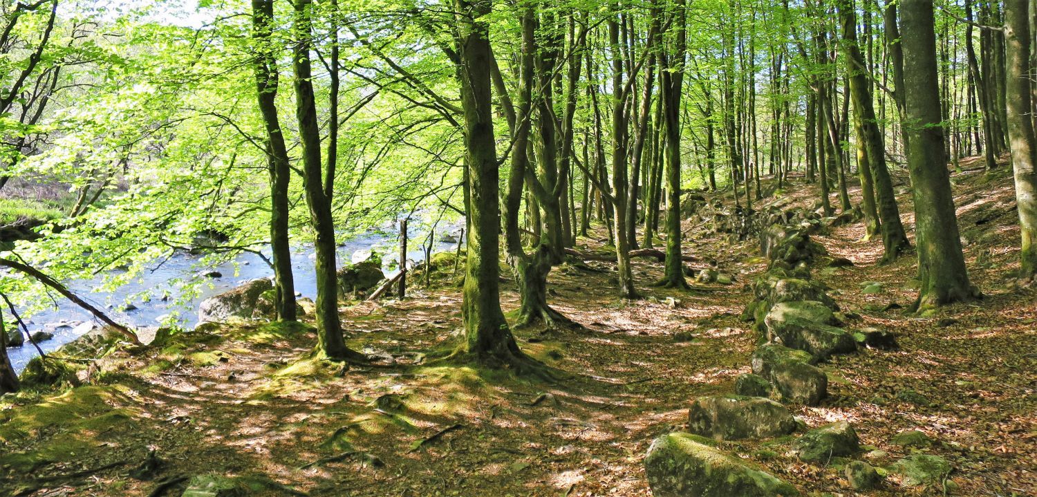
We now arrive back at the River Duddon, which we will follow through Wallowbarrow Gorge and then back to the Memorial Bridge.
 Entering Wallowbarrow Gorge
 Arriving at the eastern edge of Grassguards Native Woodland
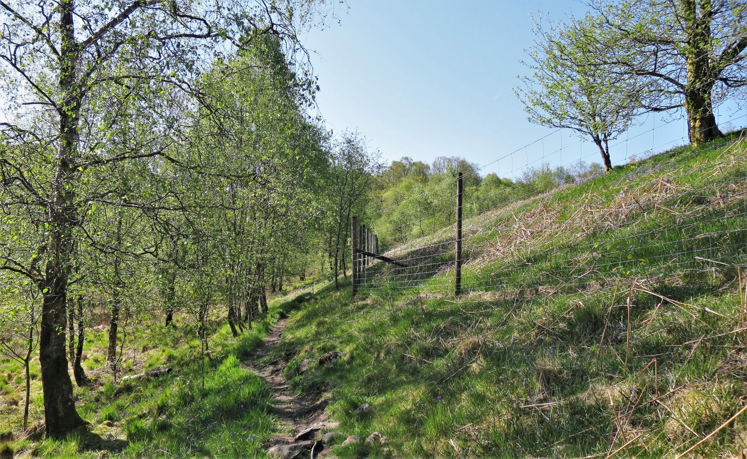
After a short walk along the river we arrive at the eastern edge of Grassguards Native Woodland. From here, a traverse path surprisingly rises above the upper level of the gorge and follows the line of the deer fence.
 Looking down into Wallowbarrow Gorge
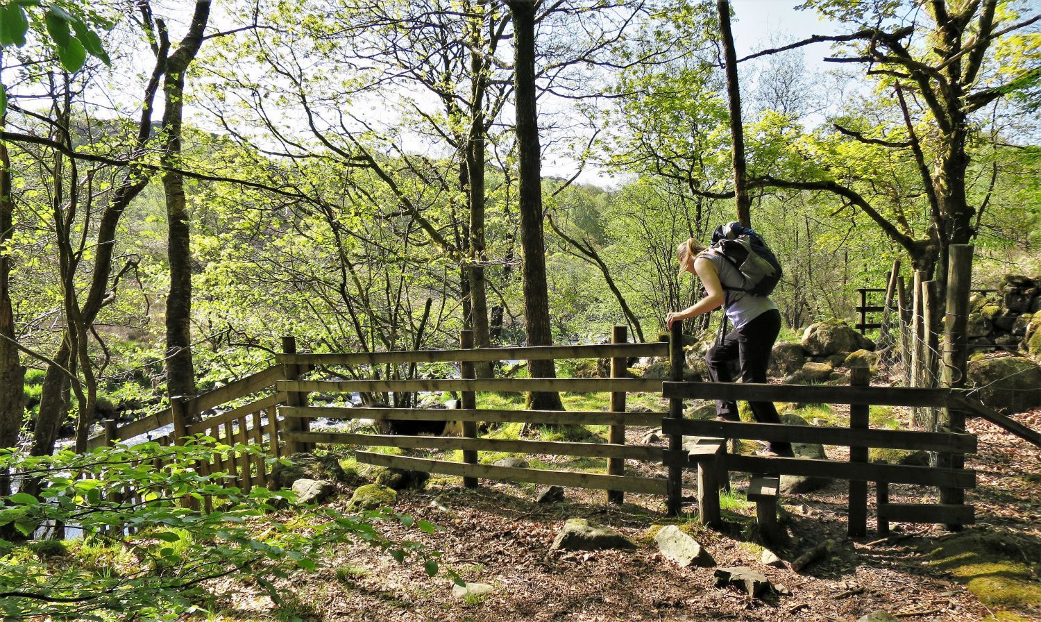
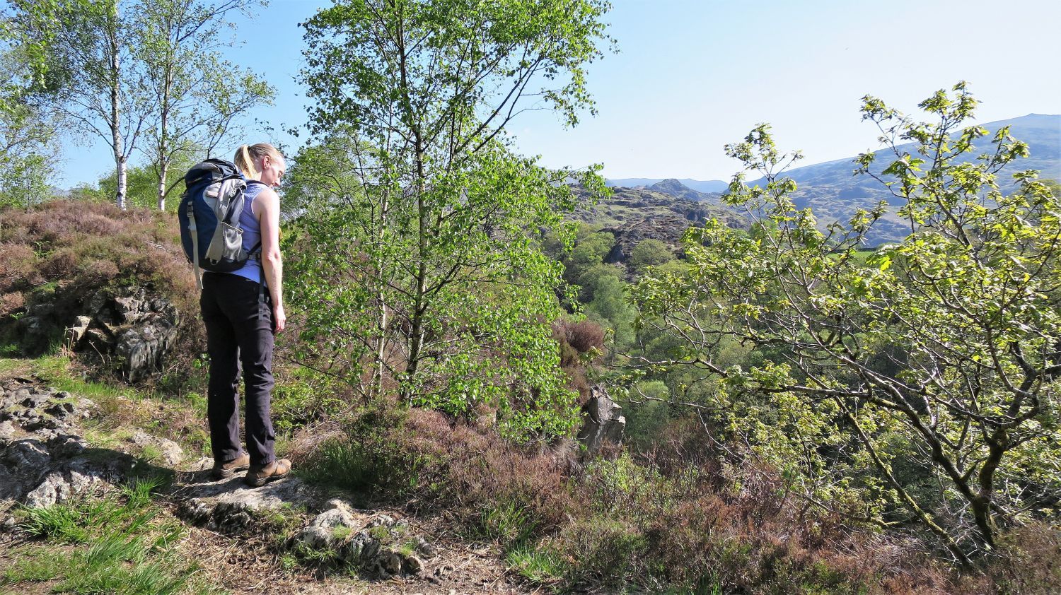
At the highest point of the traverse path Jaclyn checks out the steep drop on our left into the gorge; please be careful with roaming children or dogs!
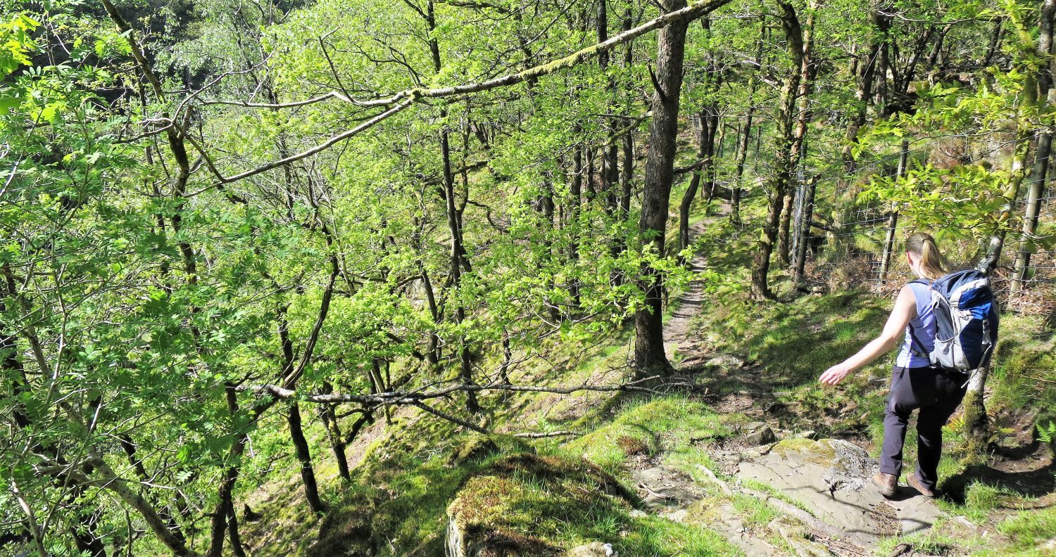 Descending to the River Duddon
We now descend sharply back down into the gorge to meet the River Duddon again. This is the lower level, and the more interesting part of Wallowbarrow Gorge.
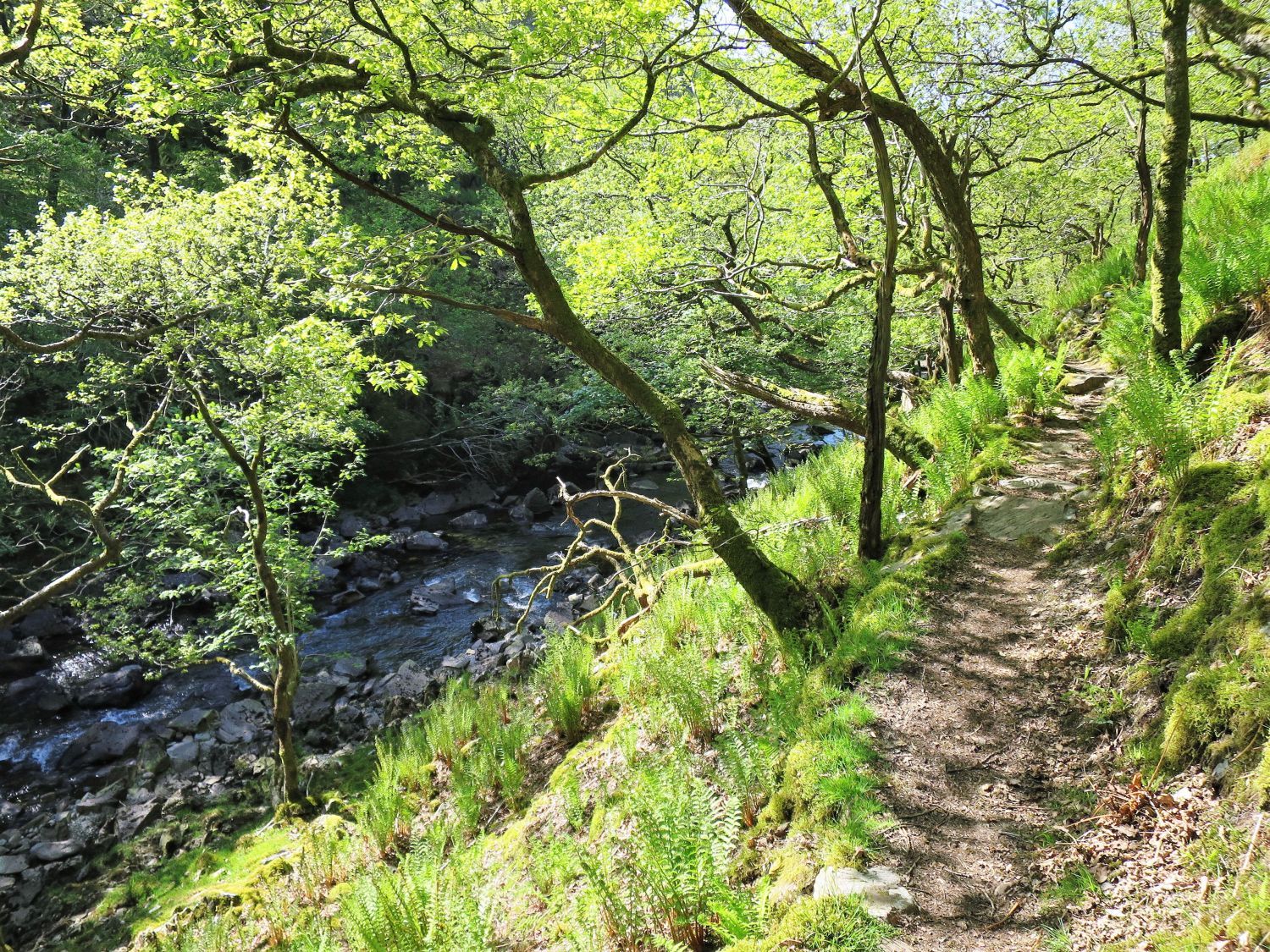 The River Duddon from the traverse path
 The eastern escarpment of Wallowbarrow Crag
Even though a popular climbing area, there are restrictions at certain times of the year due to nesting peregrine falcons, mainly between 1st March and 30th June.
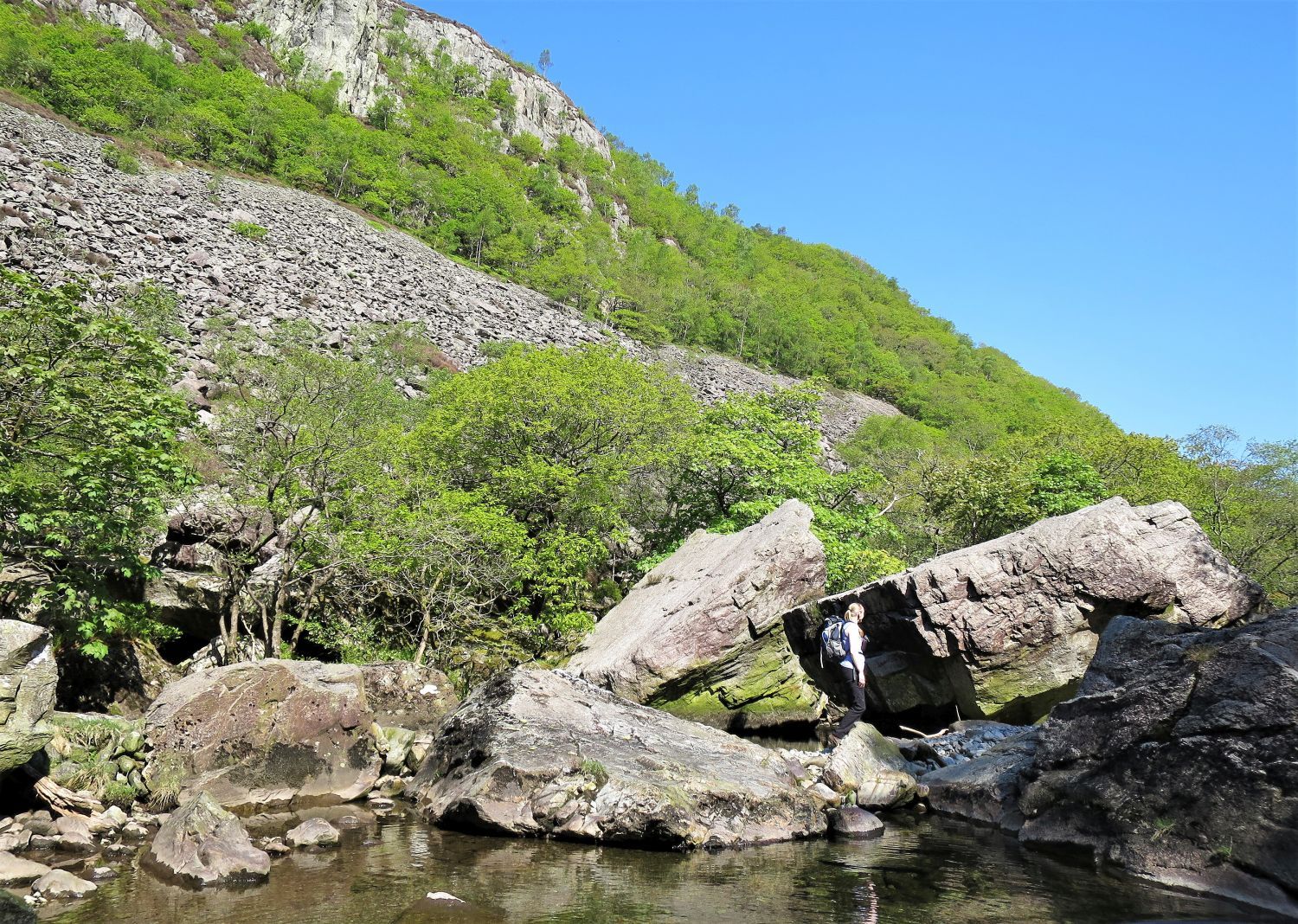 Large boulders in the River Duddon
There must have been a right thud when these boulders came crashing down! It is however, a lovely place for lunch and to dip your feet; or more if you wish!
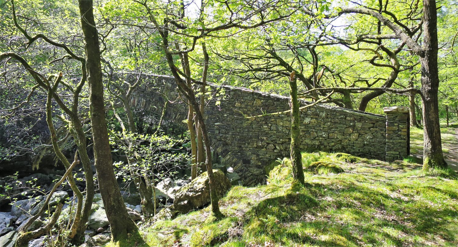 The Memorial Bridge over the River Duddon
Sadly I couldn’t find any information regarding this footbridge, however, there is an inscription that reads:
“Built by W. Grisenthwaite for A.F. & R.A.F. 1934”
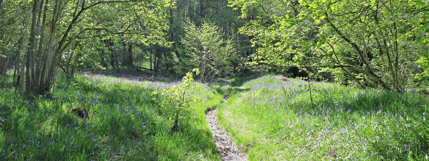 Bluebells in Hollin House Wood
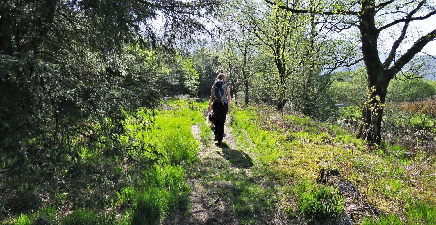
 The River Duddon from Hollin House Wood
 Footbridge over Tarn Beck
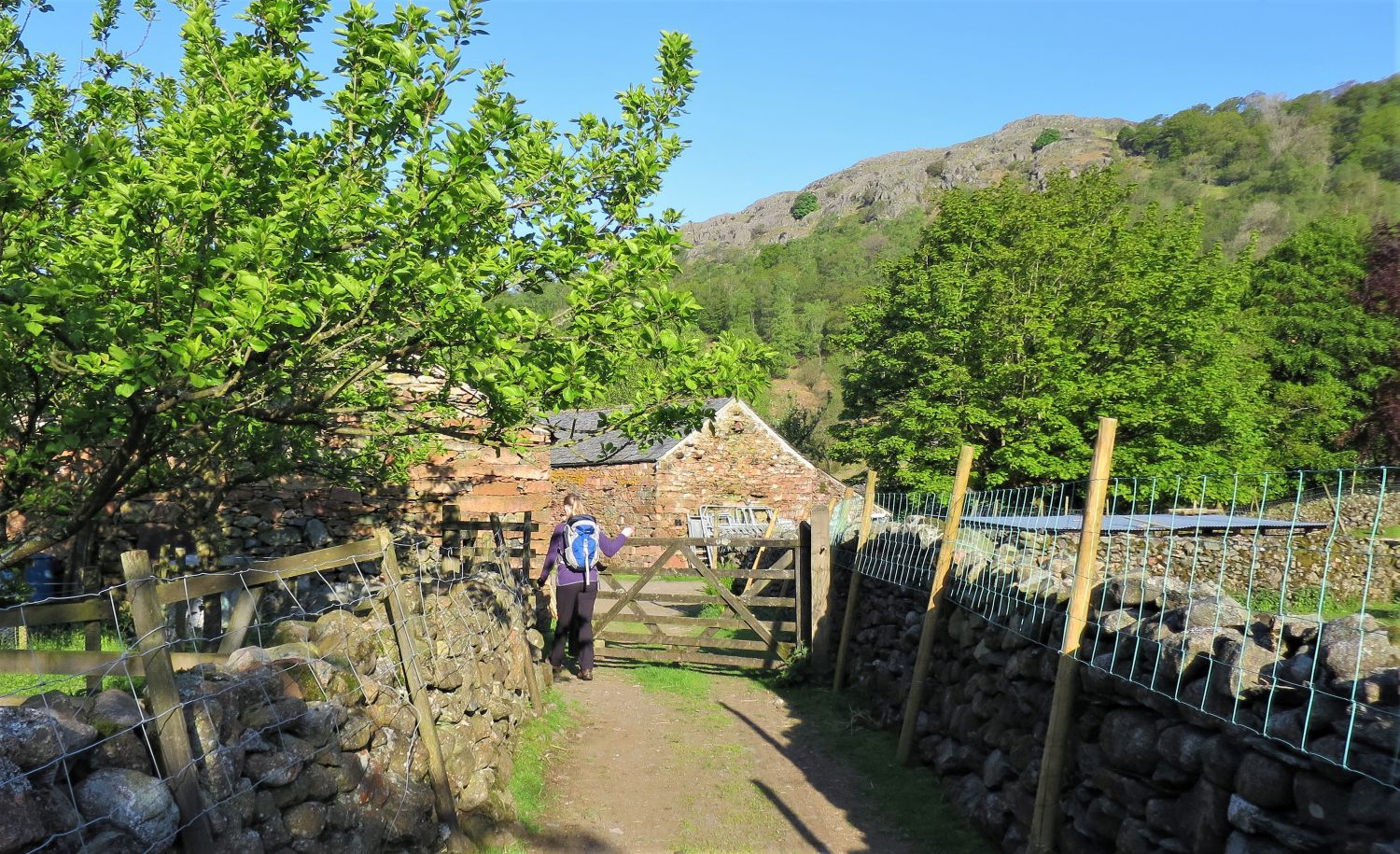
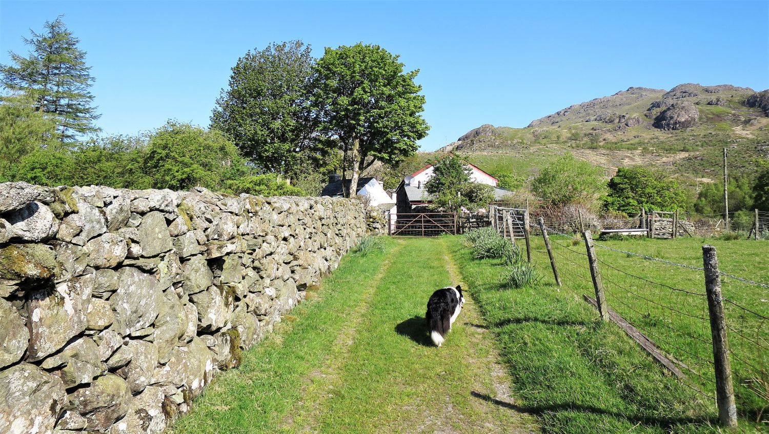
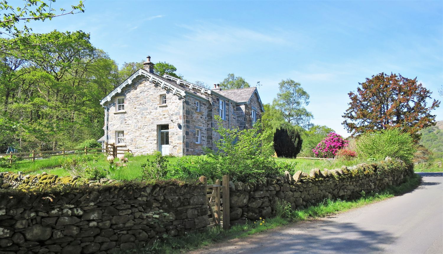 Property on the Duddon Valley Road
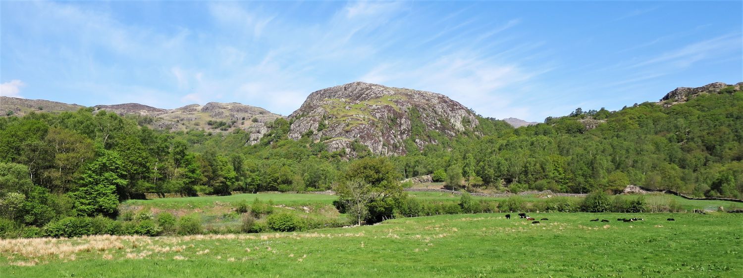 Wallowbarrow Crag from the Duddon Valley Road near Seathwaite
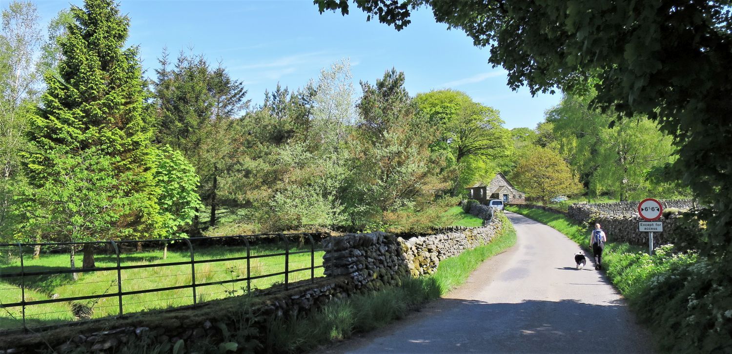 Walking along the Duddon Valley Road
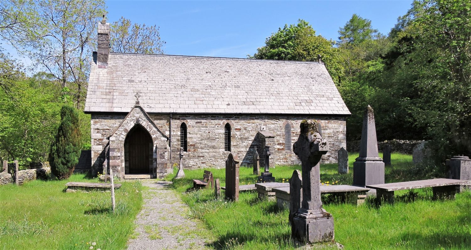 Holy Trinity Church at Seathwaite
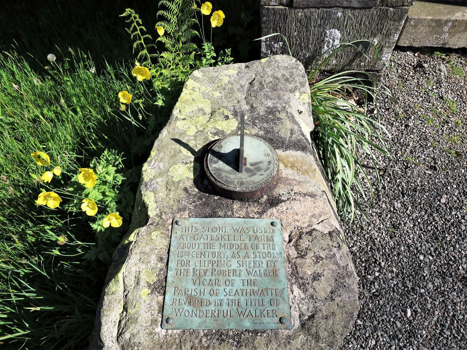 Wonderful Walker’s Clipping Stone
The Duddon Valley was Wordsworth’s favourite valley, which inspired his River Duddon Sonnets (1820) and The Excursion (1814). They were partly about an 18th century parson, the Rev. Robert Walker, also known as “Wonderful Walker”. He was a very practical man, and as well as being the local headmaster, and famous for sitting on his own special ‘shearing stone’ as he clipped sheep at Gateskell Farm nearby (now in ruin), he was also known for making clothes, spinning, brewing ale, knitting and wood working. Now a sundial, the stone lies by the entrance of the church.
Thank you for visiting.
Richard Jennings