High Street via Rough Crag, and the descent from Mardale Ill Bell via Small Water, has to be one of the finest walks in Lakeland. Whatever the season, the route is rewarding throughout with grand views of fells, valleys, tarns and ridges; I’ll just let the photos prove my point!
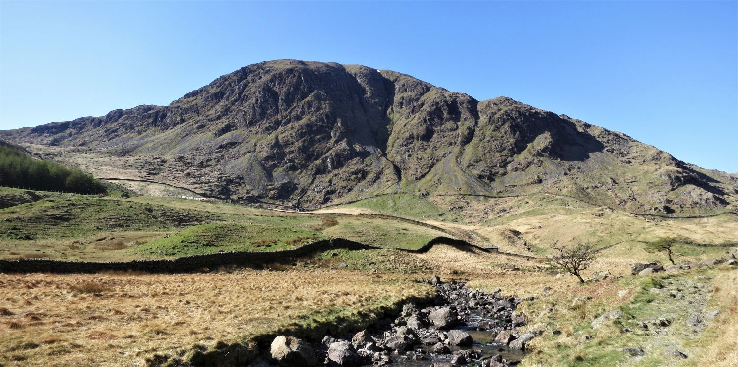
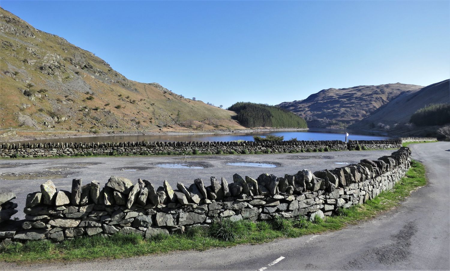 The ridge of Dudderwick from Mardale Head Car Park
The great thing about early starts and midweek days is there’s less trouble parking.
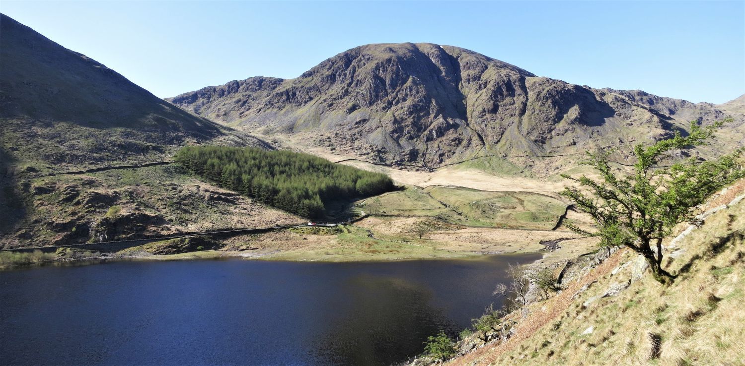
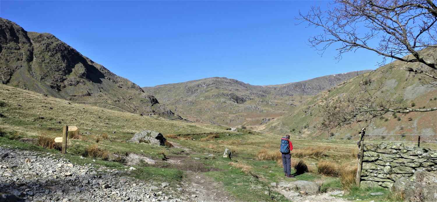 Looking up towards Mardale Ill Bell and Upper Mardale
The path ahead is our return route down from Mardale Ill Bell and Small Water. The path also leads to an alternative route to High Street via Blea Water and Long Stile, but like Alfred Wainwright states “it is a poor substitute for the ridge.”
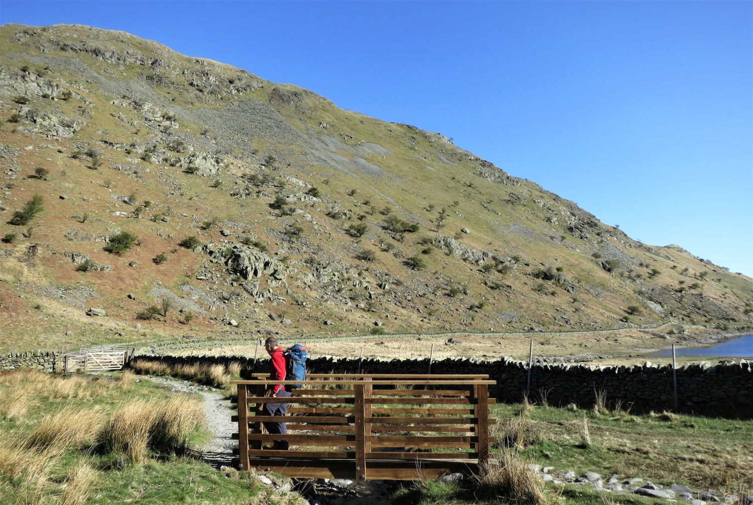 Footbridge over Mardale Beck
From the footbridge we follow the shore path which leads to the ridges of Dudderwick and Rough Crag.
 Looking back at Harter Fell’s “grand northern cliffs” over Mardale Beck
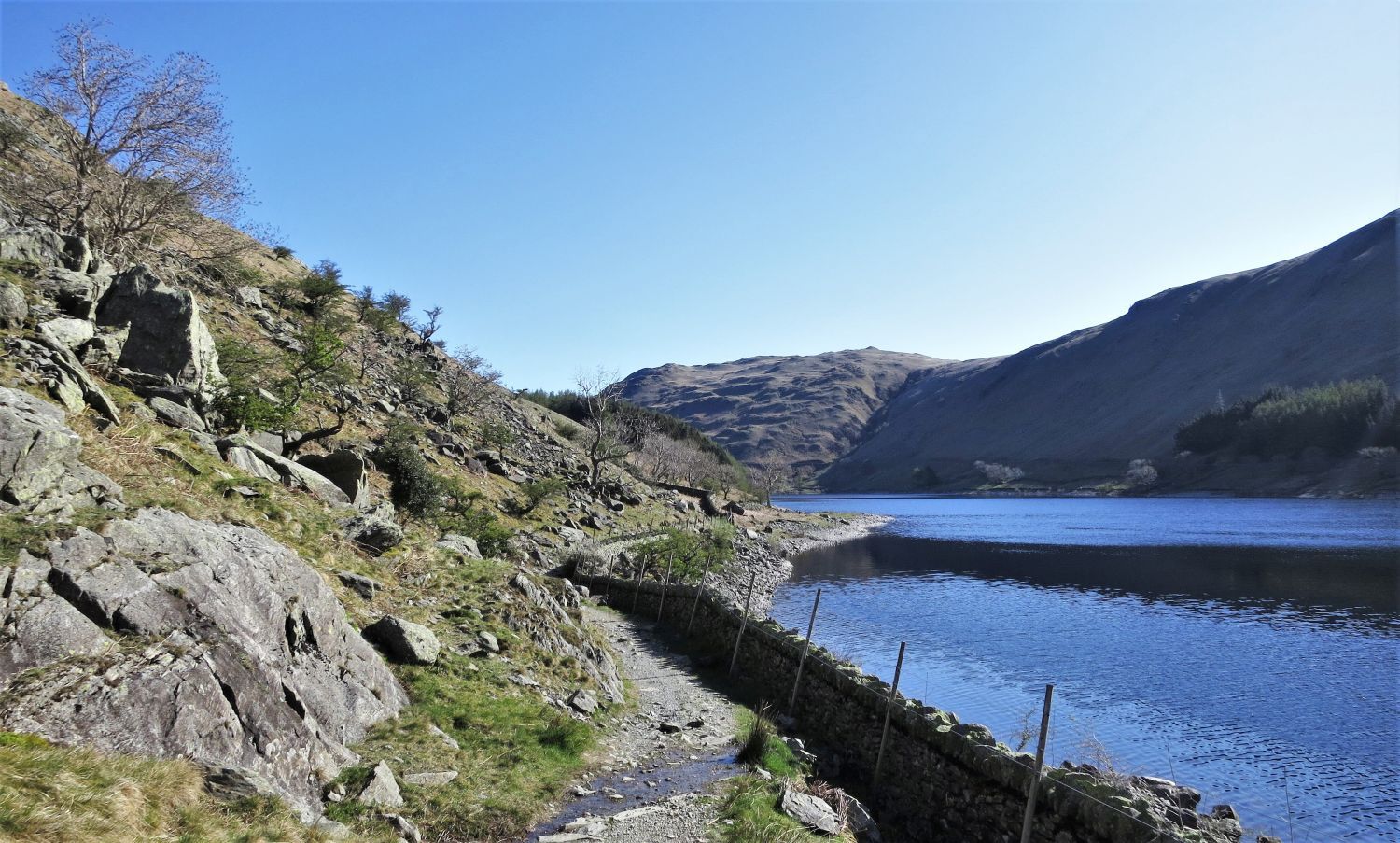 The shore path along Haweswater Reservoir
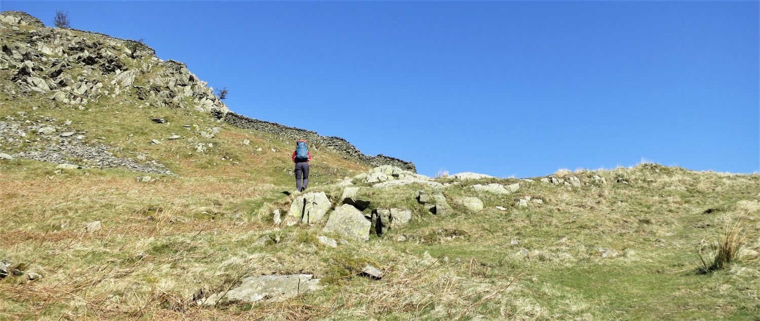
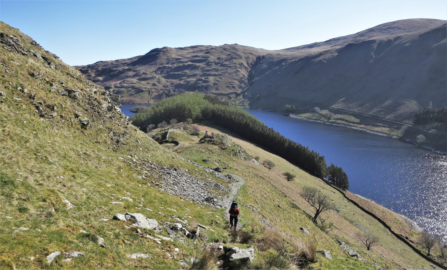
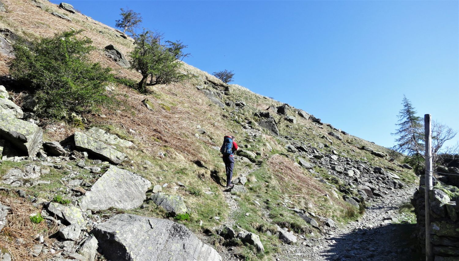 The ascent path leading to the ridge of Dudderwick
The ascent path that leaves the shore path is not marked on the OS map, but a wall is; strangely there’s no sign of a wall though.
 Looking back to Harter Fell over Mardale Head Car Park
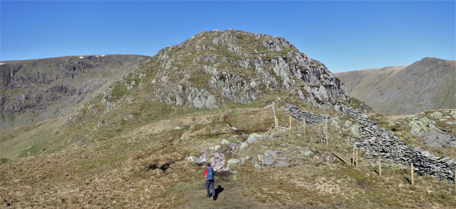
 Arriving at the ridge of Dudderwick
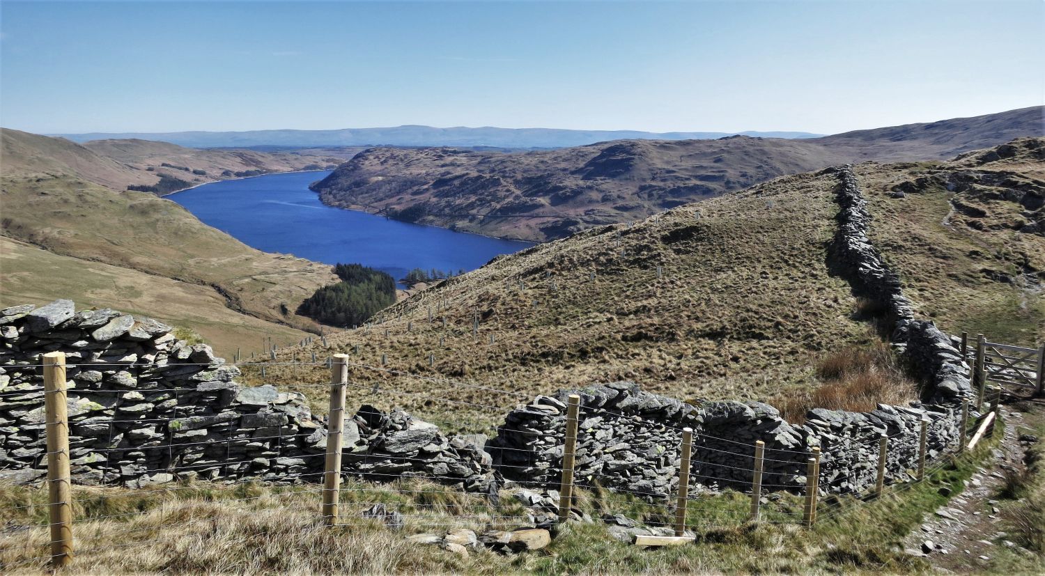
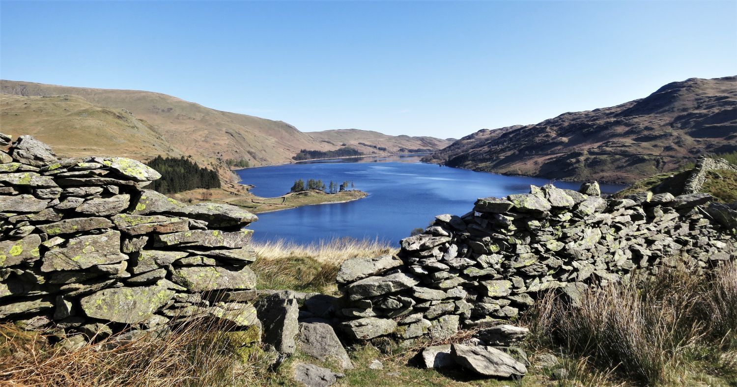 Haweswater Reservoir from the ridge wall on Dudderwick
This ridge wall amazingly starts its journey on the shore at The Rigg, and then follows the ridge to Rough Crag before descending back down to the shore at Bowderthwaite.
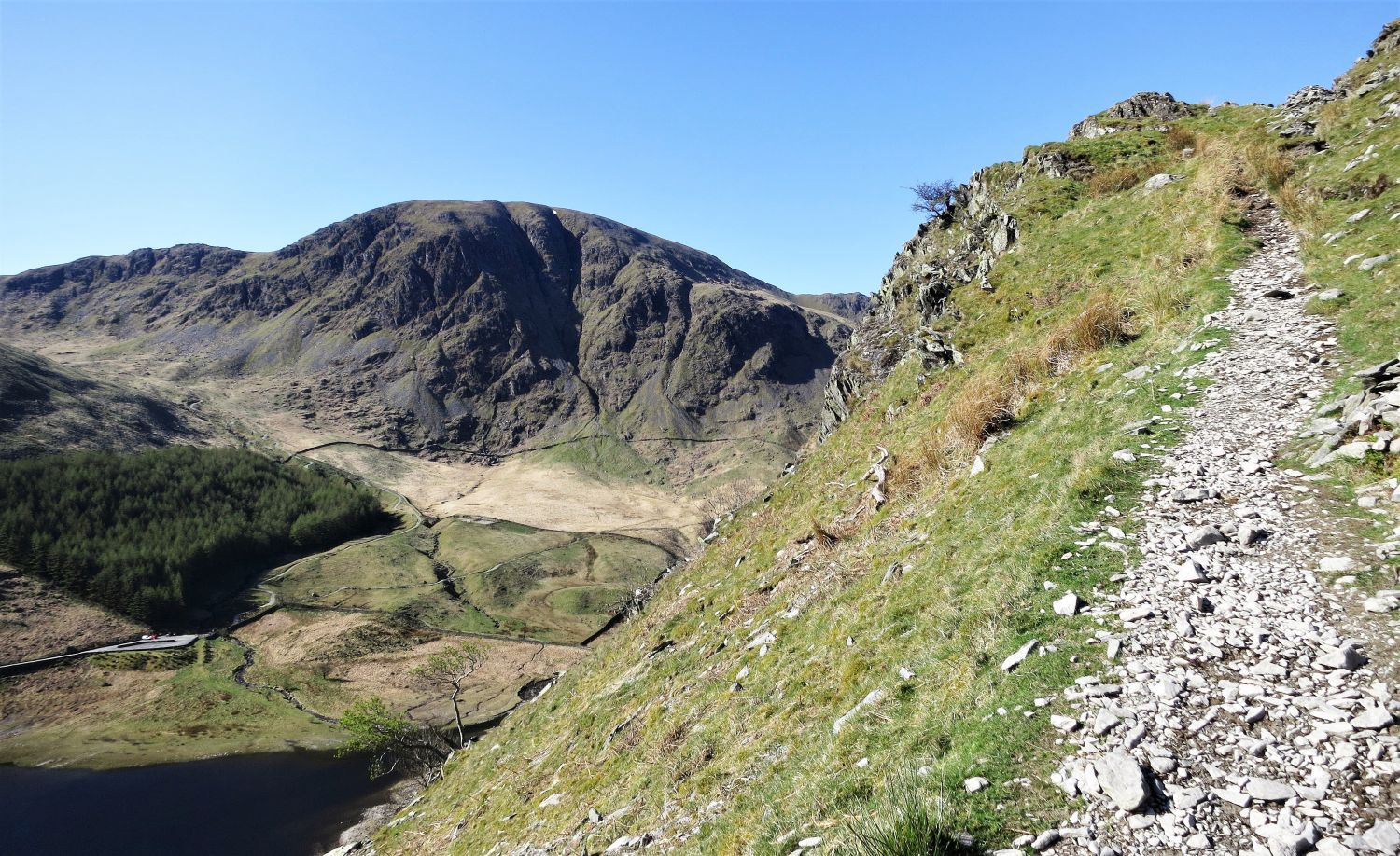 Harter Fell from the traverse path below Swine Crag
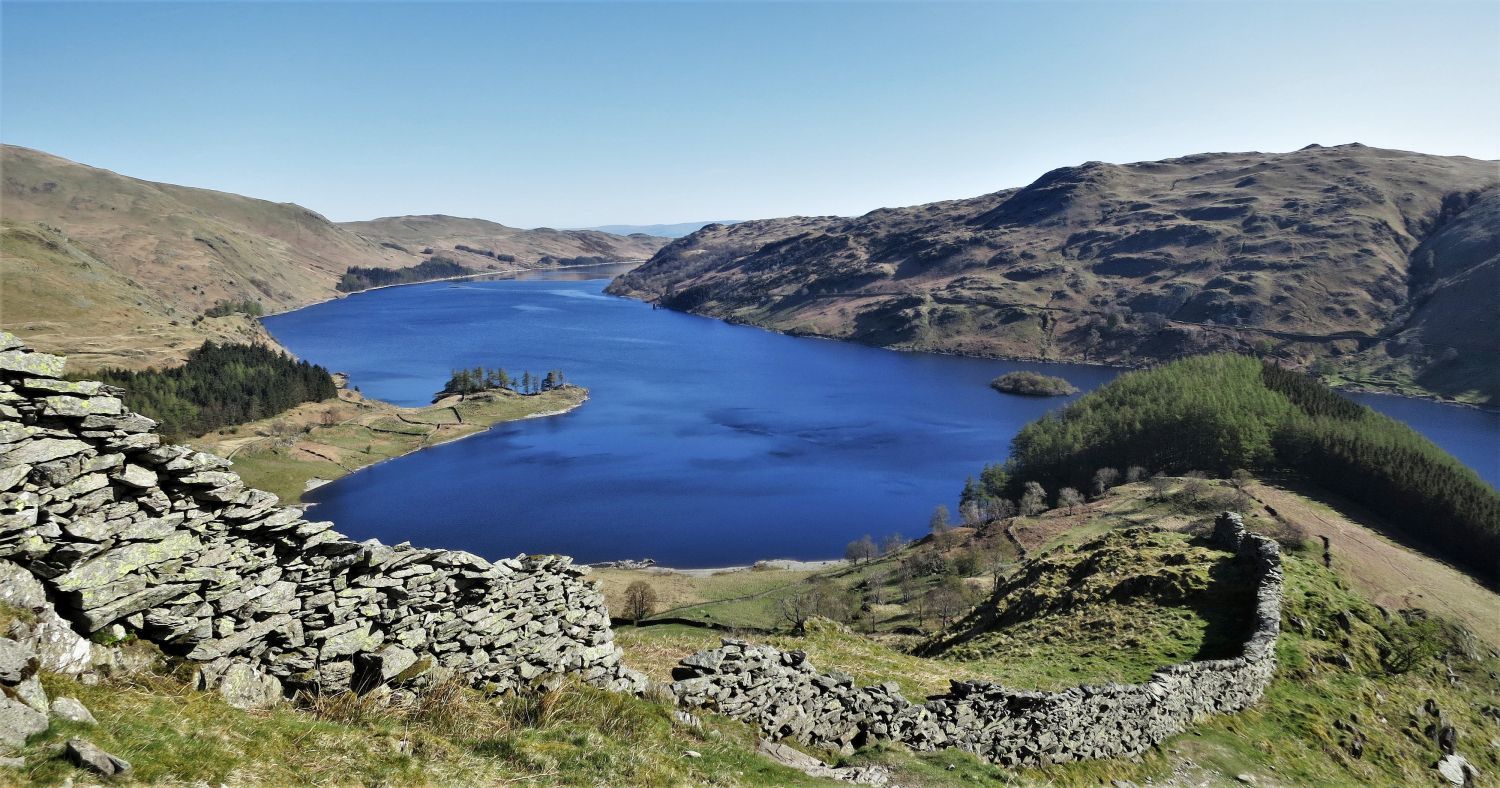 Haweswater Reservoir and The Rigg (right) from the ridge of Dudderwick
Contender for the best view in Lakeland?
 Looking back to The Rigg from the traverse path
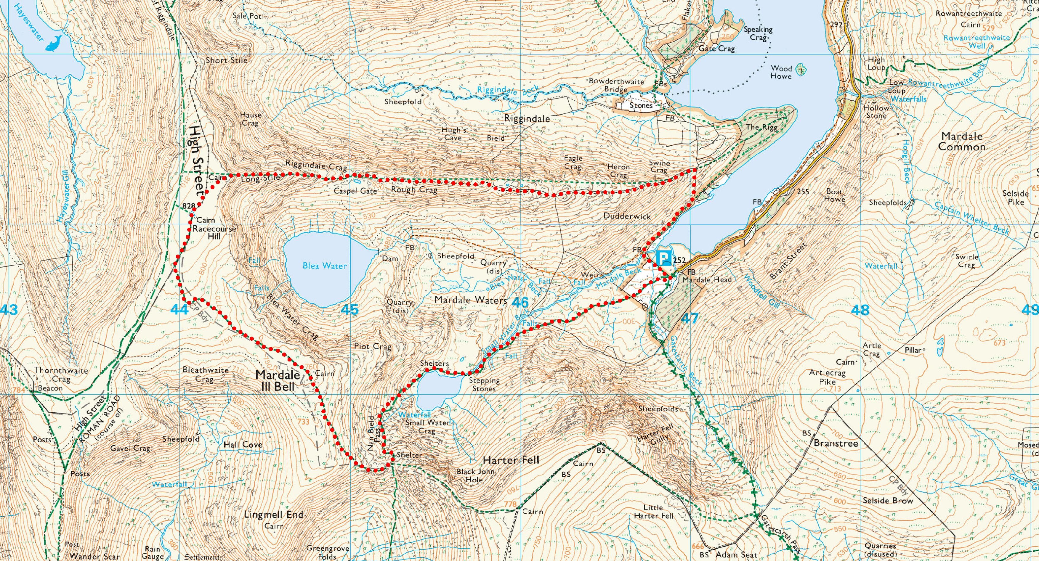
The full length of the ridge to High Street actually includes four ridges by name: The Rigg, meaning the ‘ridge’, is the small wooded area at the shore line, the ridge of Dudderwick, Rough Crag, and the “rocky stairway” of Long Stile.
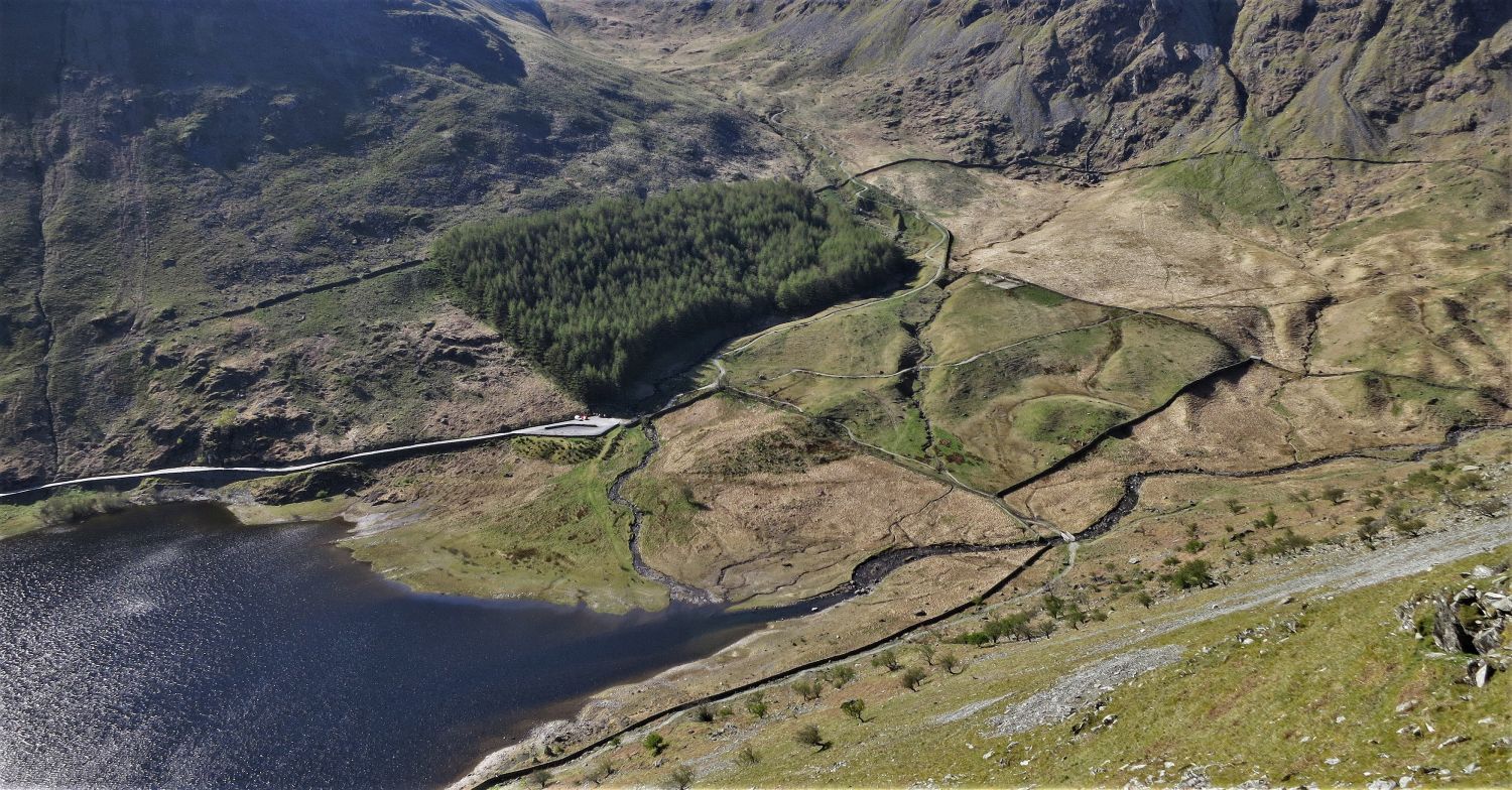 Looking down to Mardale Head and the car park
If you look closely, you can just make out the walled lane going into the reservoir; the valley of Mardale had a small hamlet called Mardale Green, which was “drowned” by the Manchester Corporation in the late 1930’s to form Haweswater Reservoir. Occasionally, some ruins of the village reappear when the water levels are low.
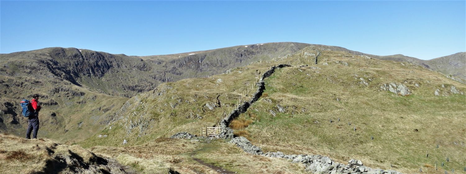 Mardale Ill Bell and High Street from the ridge of Dudderwick
“The ridge route may safely be attempted in mist, being so well-defined that it is impossible to go astray….” High Street 6
AW
 The Pennines over Haweswater Reservoir
 Approaching the first turret on the ridge of Rough Crag
Here, the wall ends its journey along the ridge at this turret, before heading down into Riggindale on the right. It is easy to think you are just about to climb to the summit, but this is an illusion; Rough Crag is a splendid ridge with a cairn on the highest point.
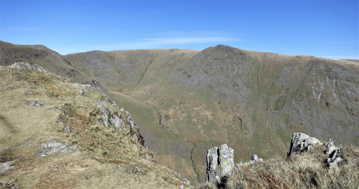
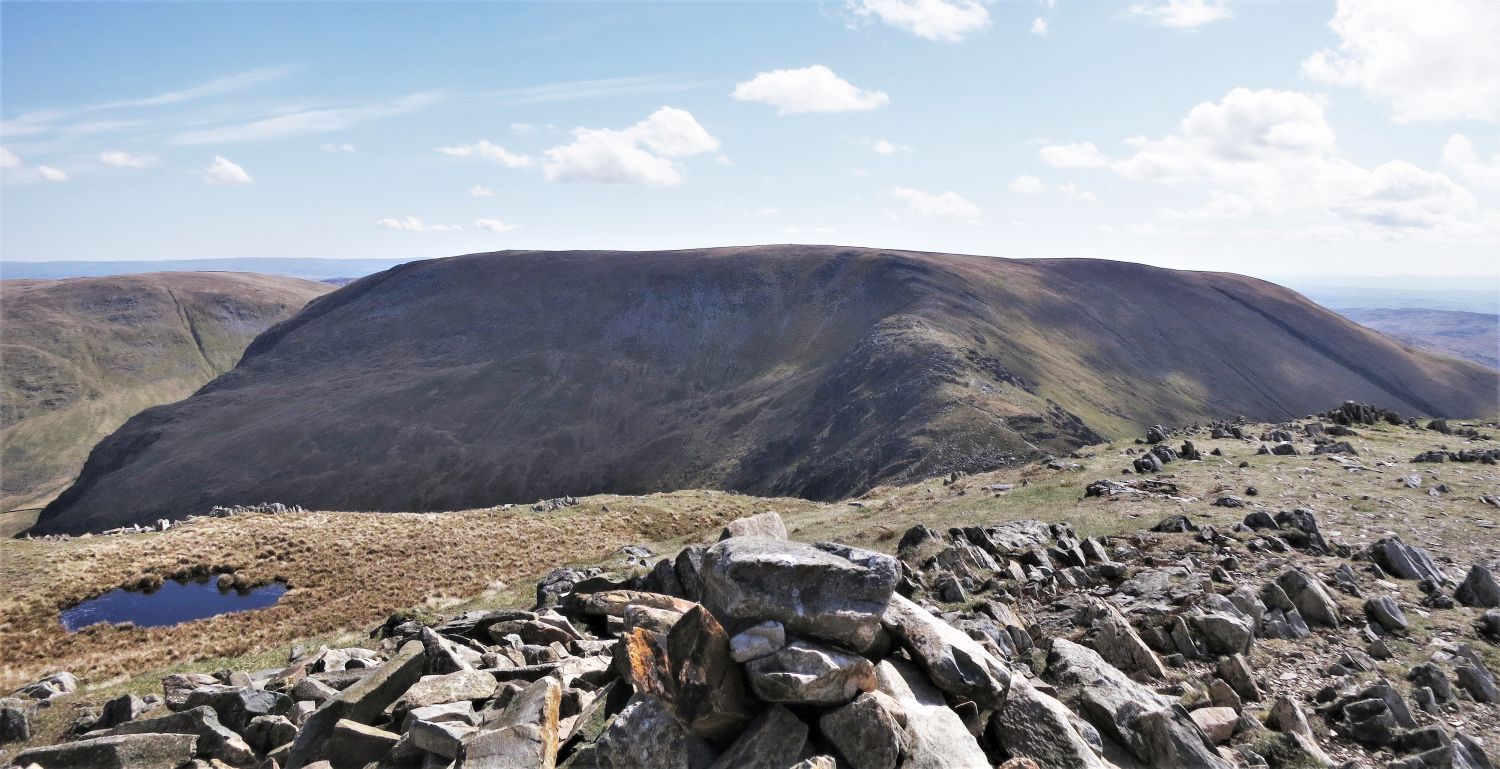
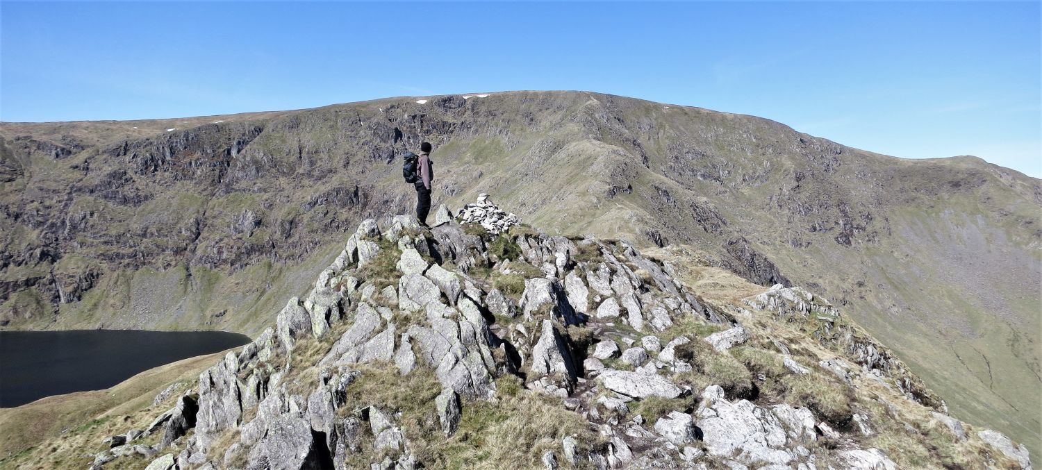 High Street and Long Stile from the summit of Rough Crag
Some summits of Lakeland pause you on your journey, and the only thing to do is admire the views; this is Lakeland at its best.
“The ridge of Rough Crag and the rocky stairway of Long Stile together form the connoisseurs route up High Street, the only route that discloses the finer characteristics of the fell. The ascent is a classic, leading directly along the crest of a long, straight ridge that permits of no variation from the valley to the summit. The views are excellent throughout.” High Street 6
AW
 Harter Fell from the ridge of Rough Crag
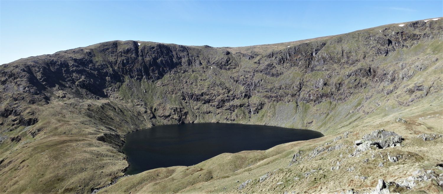 Blea Water from the ridge of Rough Crag
 Kidsty Pike over Riggindale from the ridge of Rough Crag
The best view of Kidsty Pike is obtained from Rough Crag.
“This distinctive summit, which unmistakably identifies the fell whenever it is seen in profile, is formed by the sudden breaking of the gently-rising eastern slope in a precipice of crags and scree that falls very abruptly into the depths of Riggindale.” Kidsty Pike 2
AW
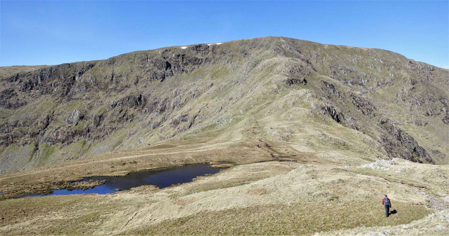 The ridge of Long Stile over Caspel Gate
“Caspel Gate is the name of a grassy depression on the ridge: there is no gate. The tarn there dries up in times of drought.” High Street 6
AW
The meaning of ‘gate’ in this instance is ‘way’, which probably relates to the route from Blea Water below.
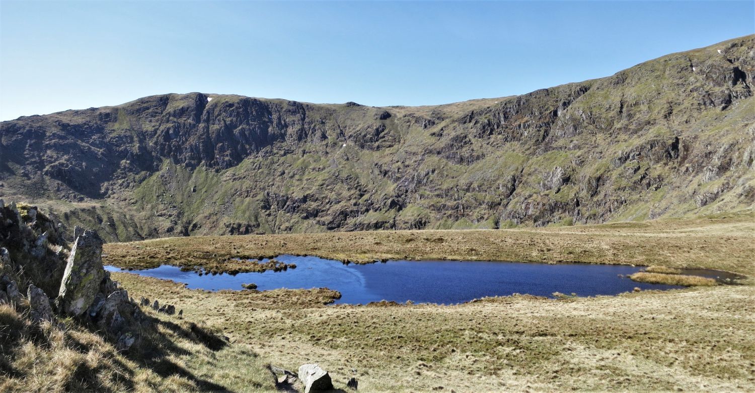 Mardale Ill Bell over Caspel Gate Tarn
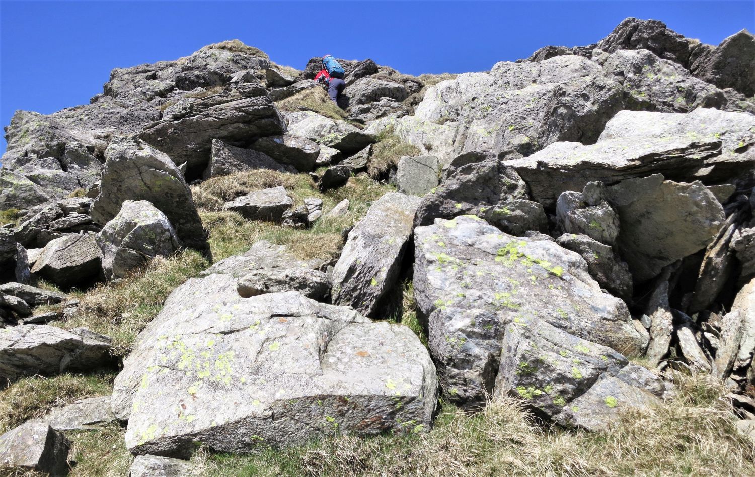
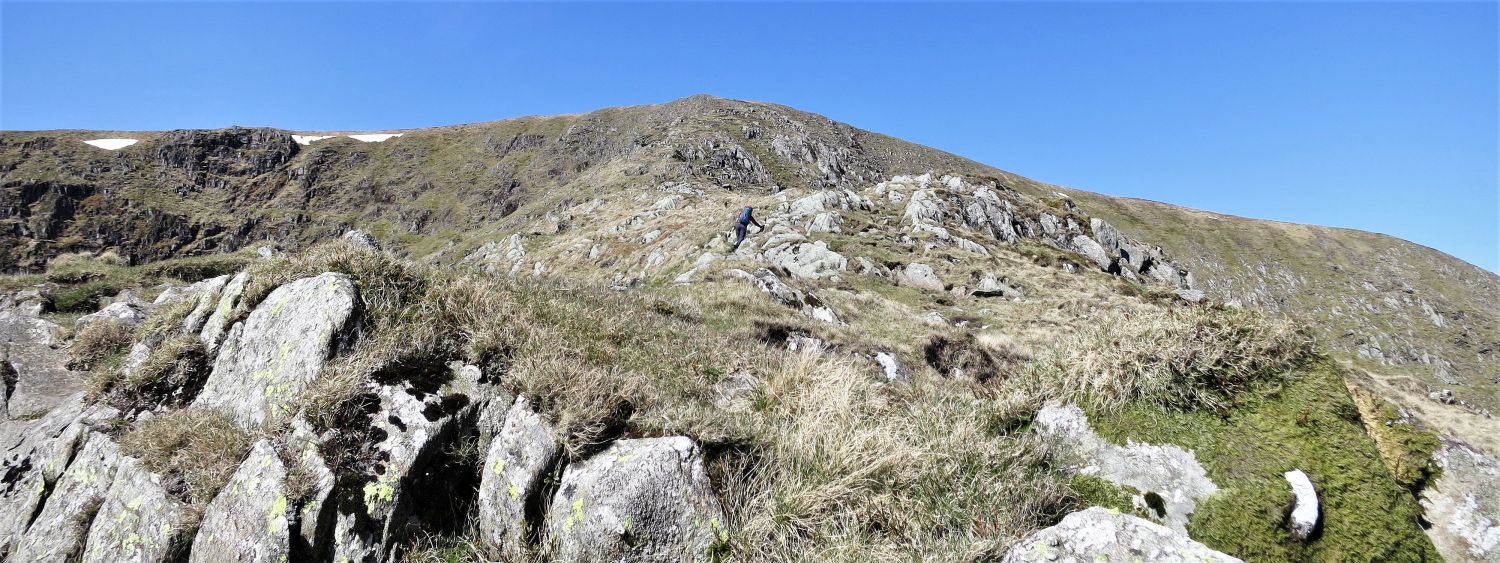 Ascending the ridge of Long Stile
The ascent of Long Stile is an easy scramble, hence the reason for not including this walk in the ‘scrambles’ section of the website; it is splendid throughout.
 Looking back to Rough Crag from Long Stile, with Riggindale (left)
 Blea Water from the ridge of Long Stile
 The upper section of Long Stile
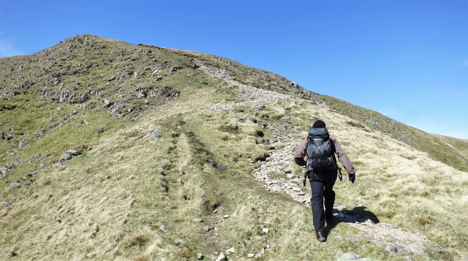 Approaching High Street
I look like a man on a mission in this photo; maybe I’m ready for my pork pie!
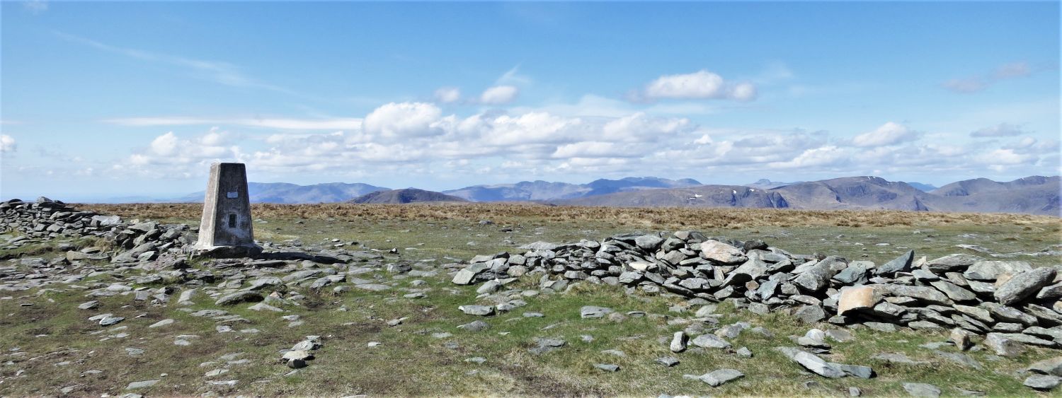 The summit of High Street
Ancient Britons, marching Romans, invading Scots, and even racing horses have all played a part of creating High Street’s history. It is now, however, a playground for fell walkers in search for adventure.
“The summit is barren of scenic interest, and only visitors of lively imagination will fully appreciate their surroundings. Any person so favoured may recline on the turf and witness, in his mind’s eye, a varied pageant of history, for he has been preceded here, down the ages, by the ancient Britons who built their villages and forts in the valleys around….” High Street 10
AW
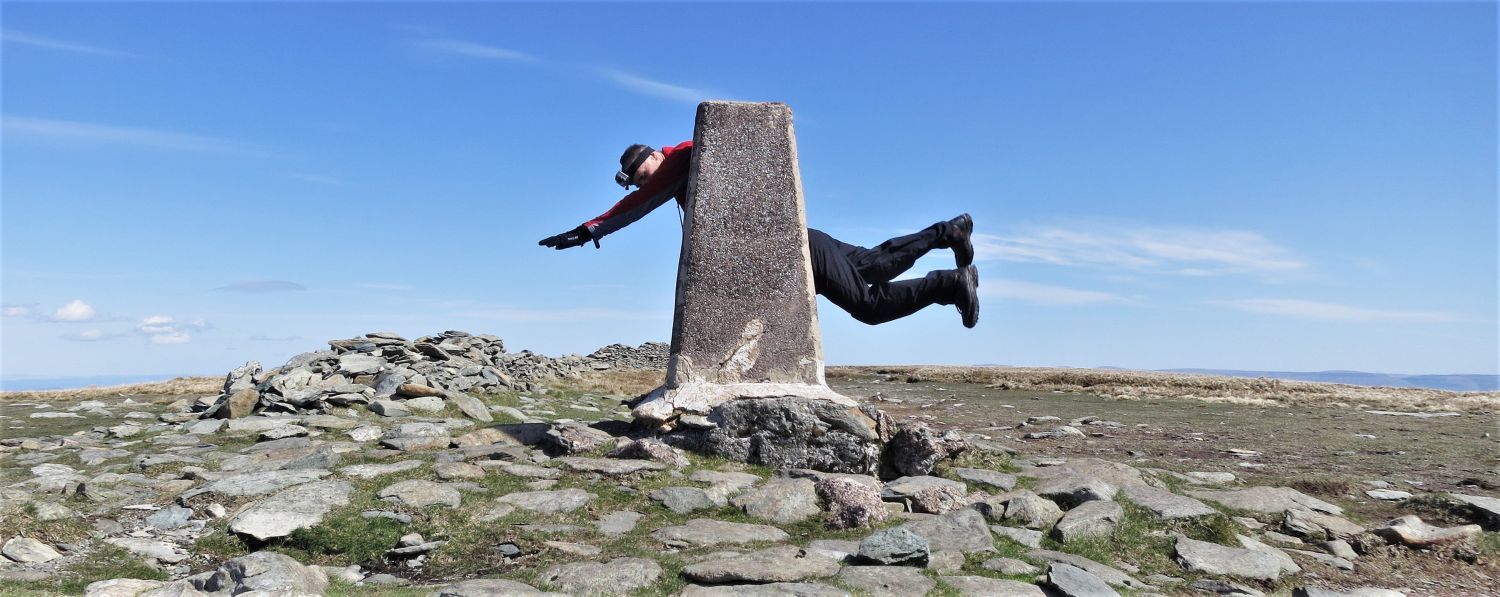 “Imagination” on High Street
“Nowadays all is quiet here and only the rising larks disturb the stillness. A pleasant place, but – to those unfortunate folk with no imagination – so dull!” High Street 10
AW
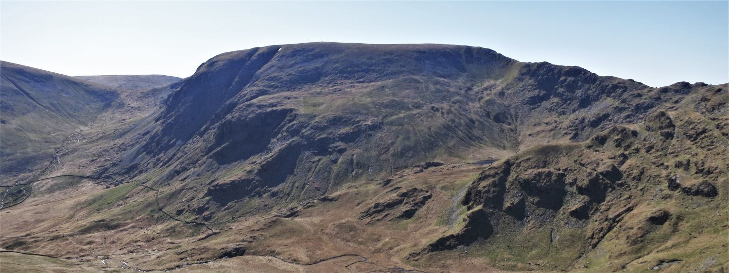
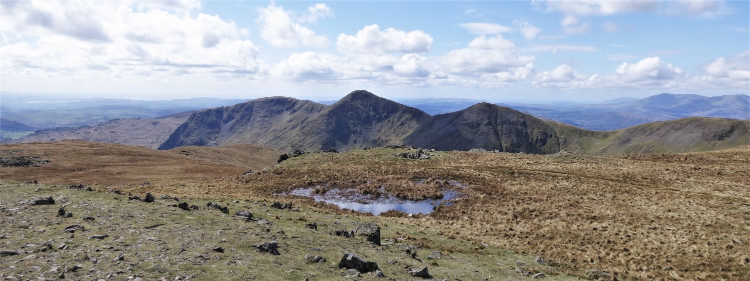
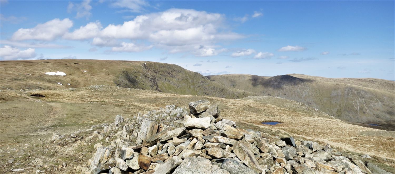 High Street and Kidsty Pike from the summit of Mardale Ill Bell
After the shenanigans on High Street, we followed on easy path on grass to the summit of Mardale Ill Bell.
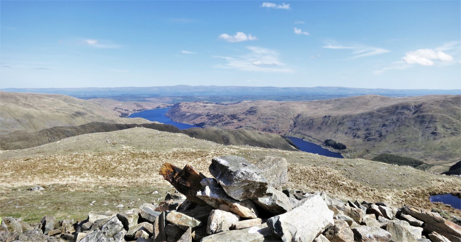 Haweswater Reservoir from the summit of Mardale Ill Bell
 Harter Fell from the summit of Mardale Ill Bell
 Yoke, Ill Bell and Froswick from Mardale Ill Bell
 Thornthwaite Crag from Mardale Ill Bell
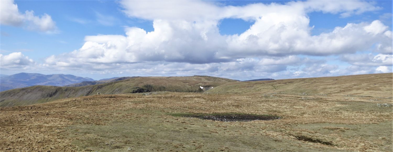
 Haweswater Reservoir and Mardale Ill Bell summit plateau
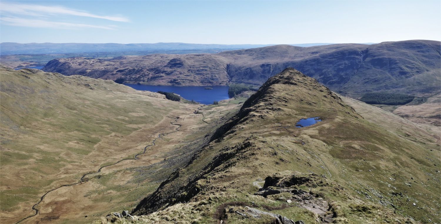
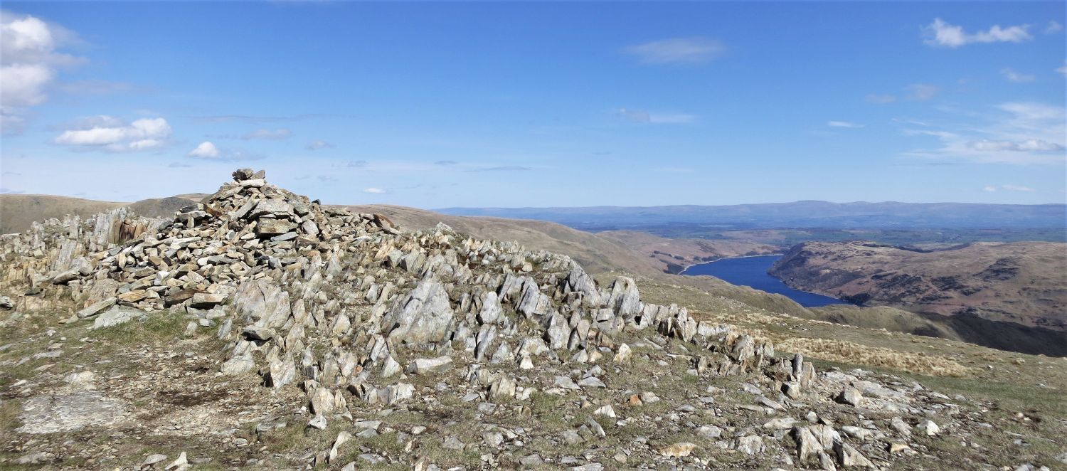
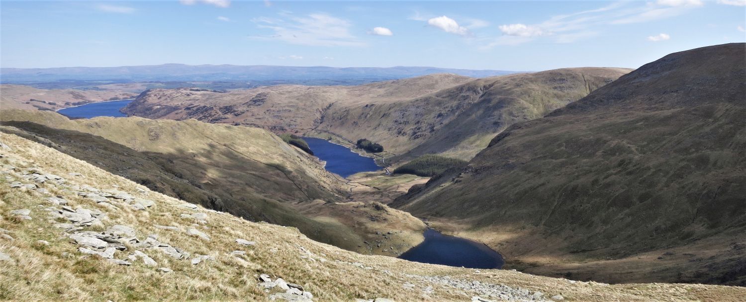 Haweswater Reservoir and Small Water, from the spur of Lingmell
The crystal blue waters of Haweswater Reservoir and Small Water dominate the scenery during our descent back to Mardale Head; many photos are taken here.
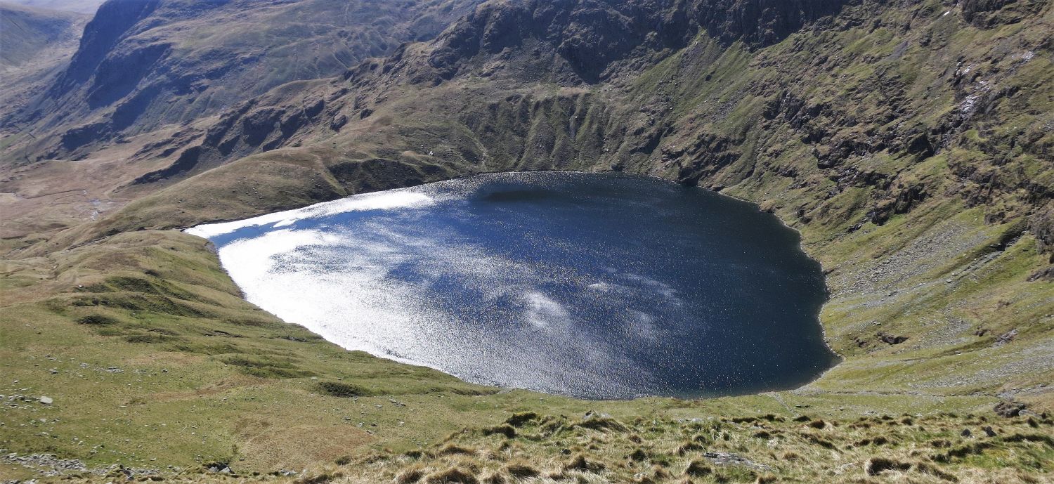
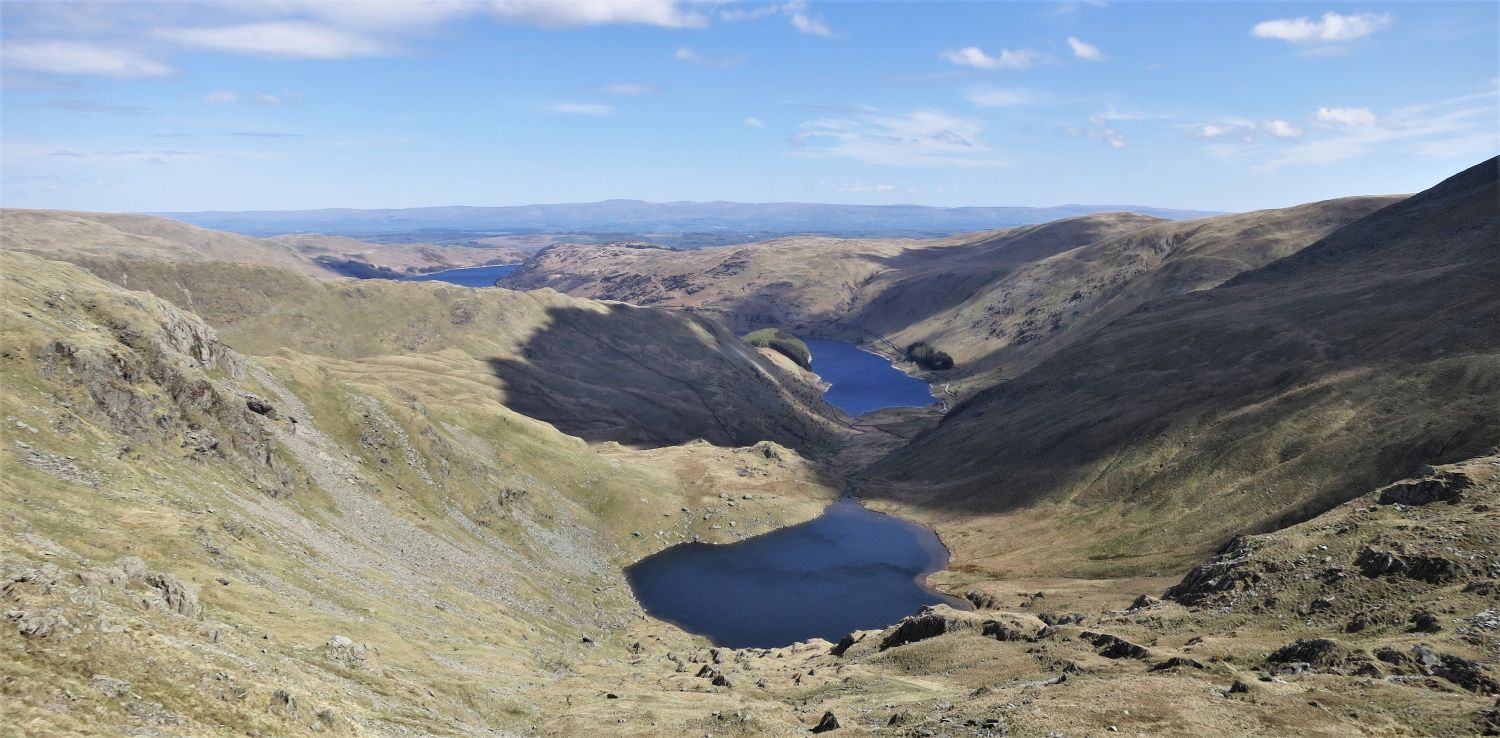 Small Water from the descent to Nan Bield Pass
As descents go, this is one of the finest in Lakeland.
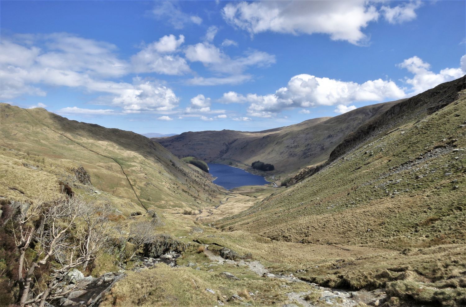 Haweswater Reservoir from Small Water Beck
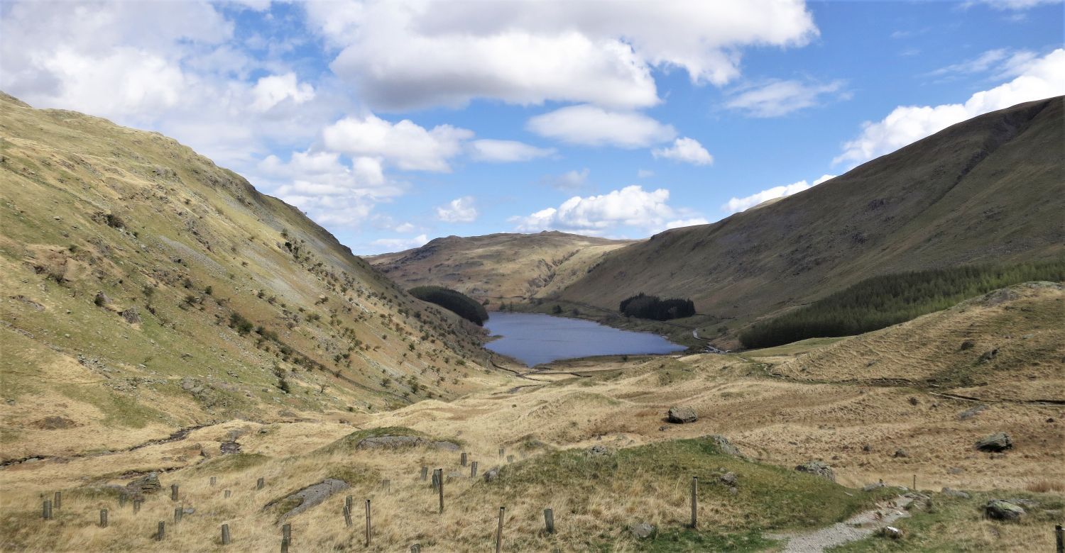 Approaching Mardale Head
Thank you for visiting.
Richard Jennings