It’s always nice to find a route that will kick-start those legs into action for spring, that doesn’t have too much ascent but is yet still very rewarding. A frosty clear morning is recommended for this walk, and enough time to visit the historical parts of Caldbeck.
GPX Route: Download
PDF Map: Download
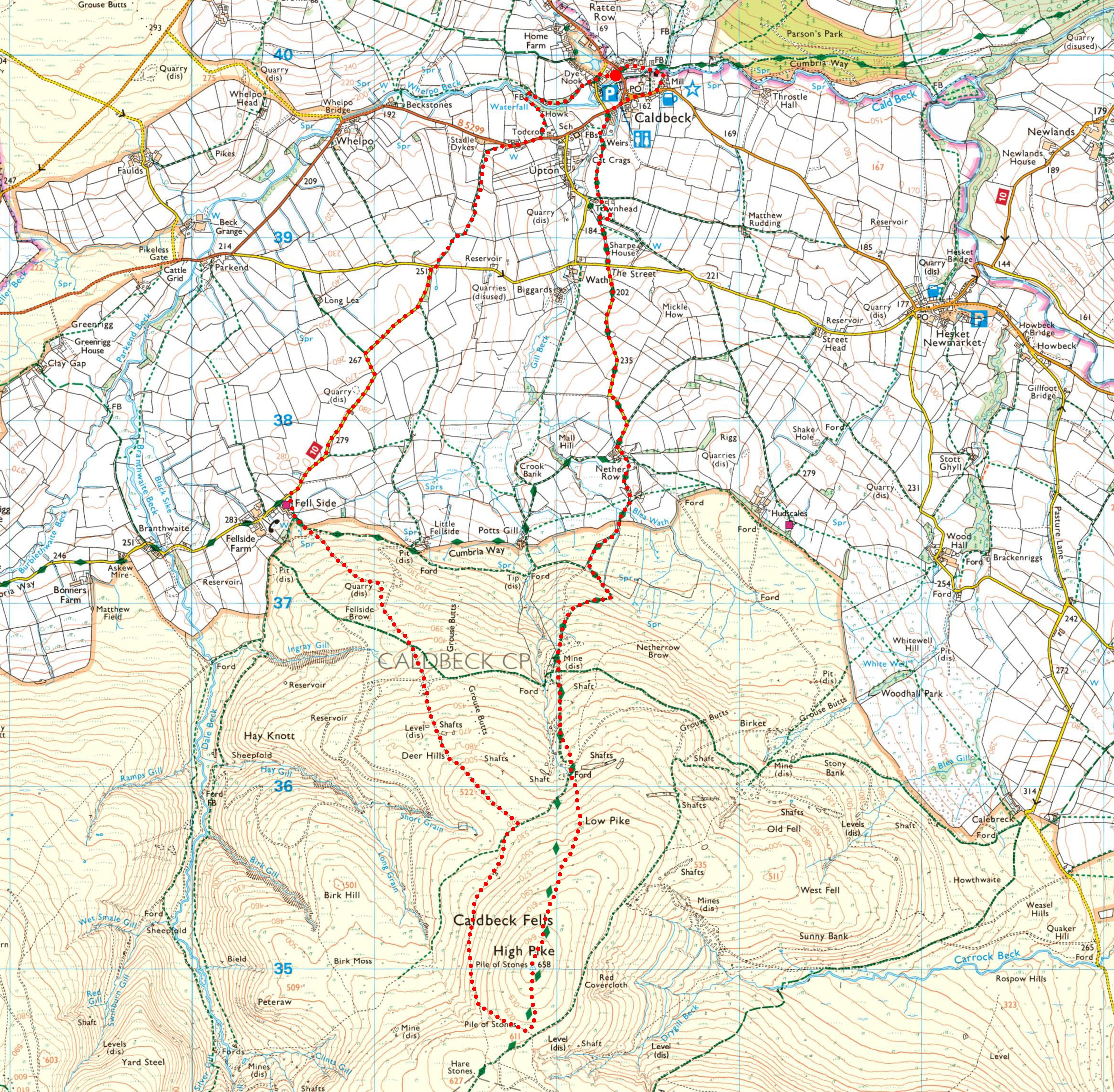
Caldbeck > Townhead > Nether Row > Claybottom Farm > Caldbeck Common > Potts Gill Mine > High Pike > Deer Hills > Fellside Brow > Fell Side > The Howk > Caldbeck
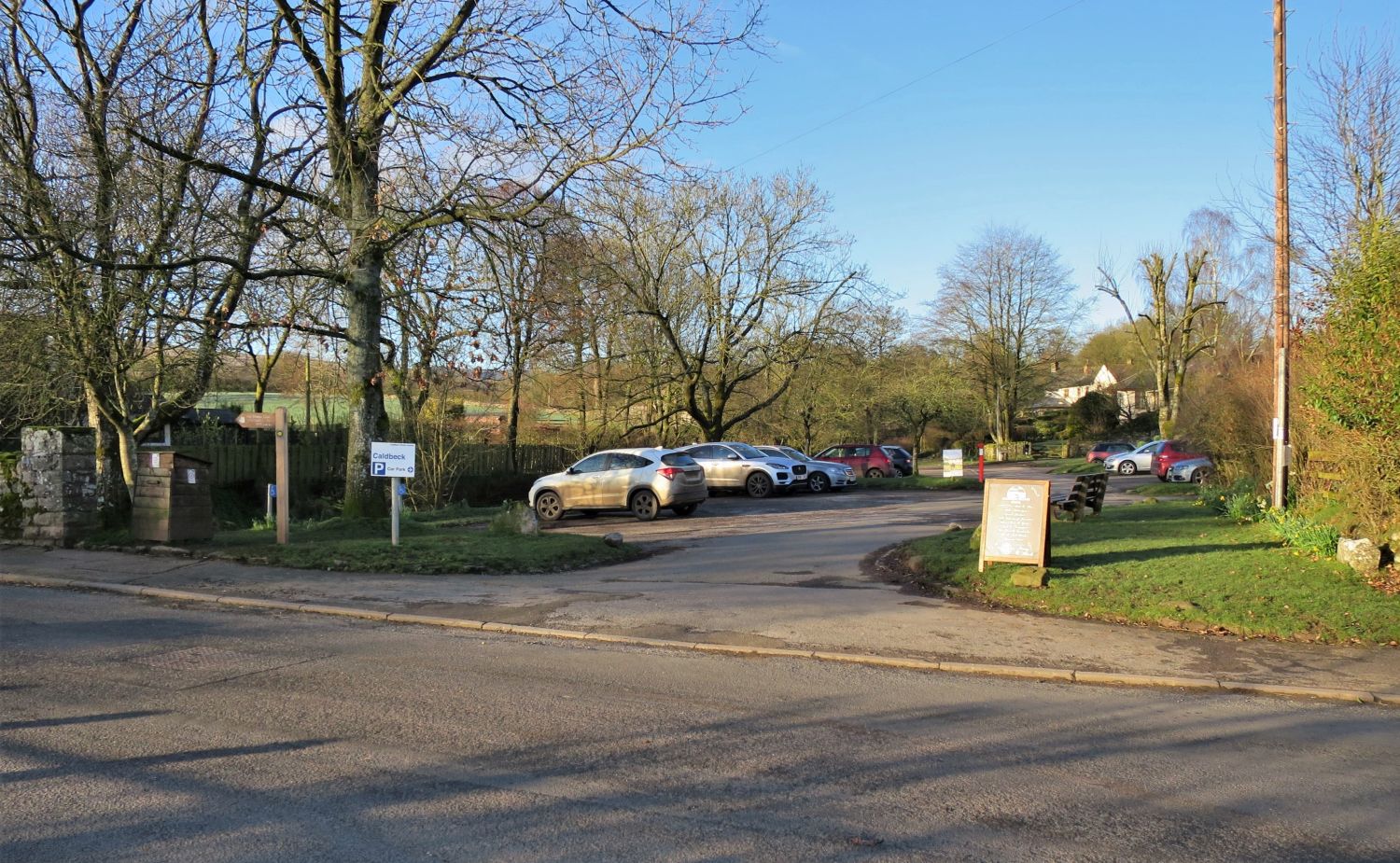 Caldbeck village car park
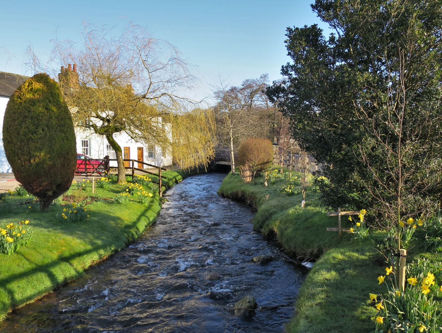 Gill Beck before it merges with Cald Beck
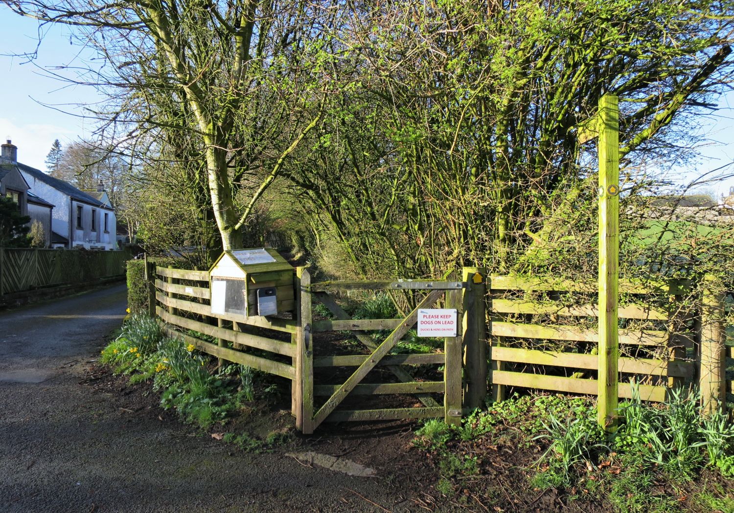 The Cumbria Way path leading to Townhead
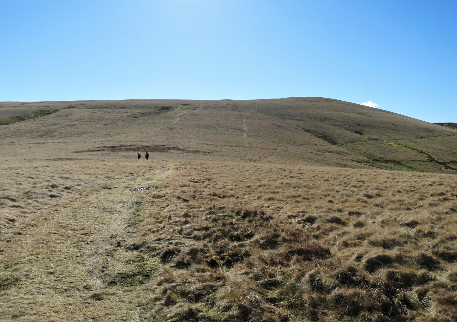
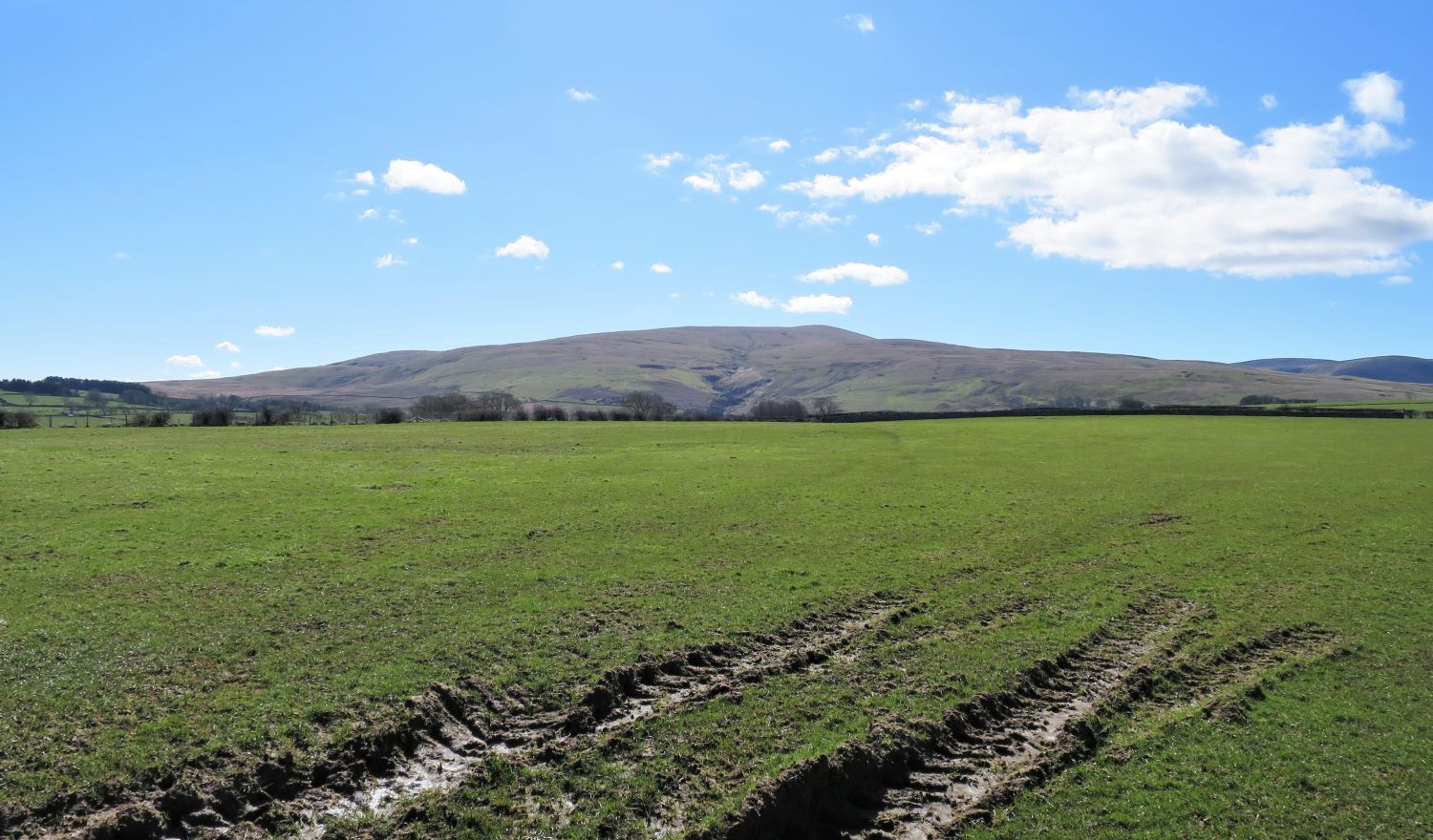
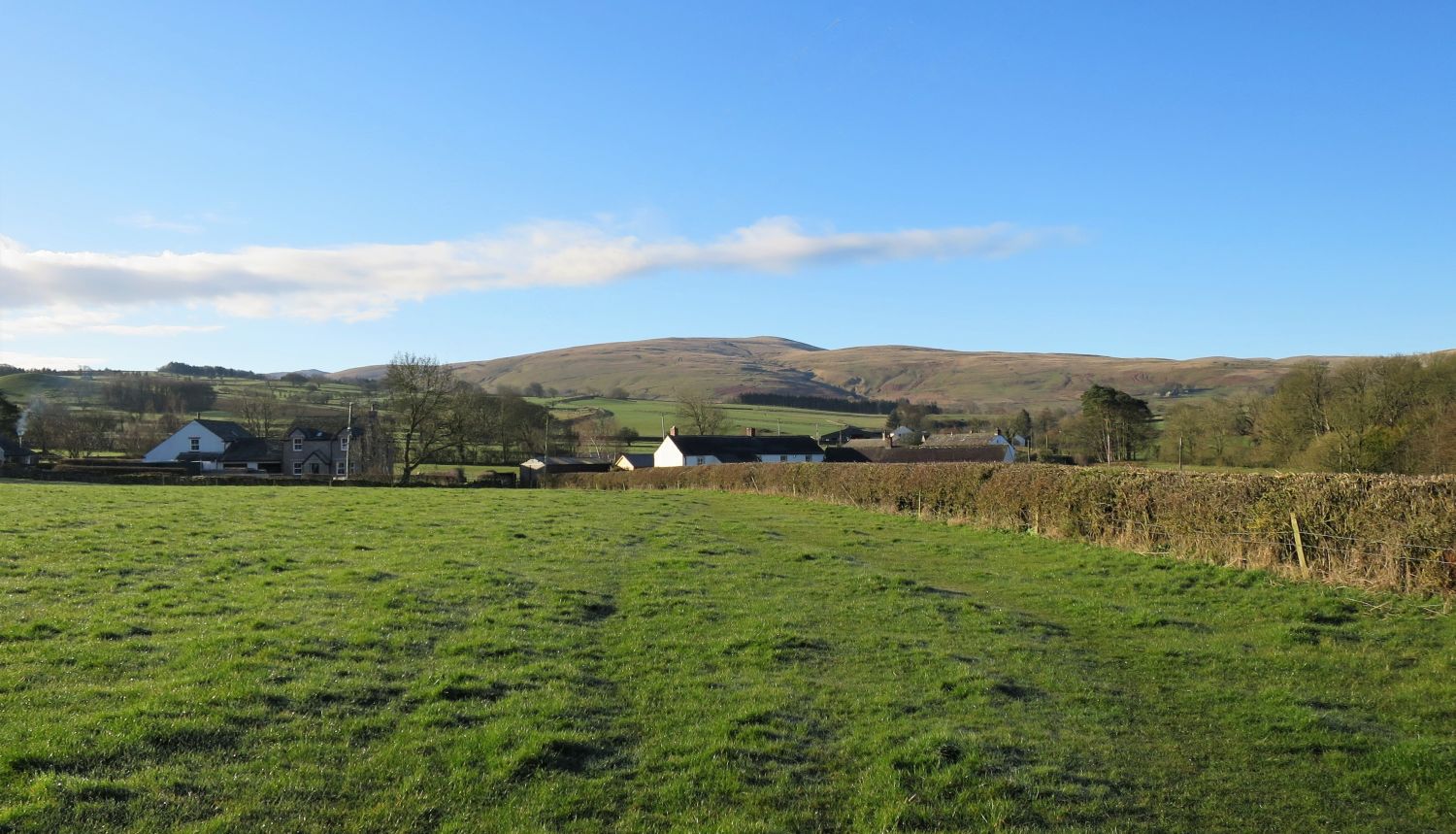 High Pike seen over Townhead
“All natives of Caldbeck and district have a deep-rooted respect for High Pike: it is a natural background to their lives, its name is a household word. This, not because the fell dominates the neighbourhood by a commanding presence – it is too flat and sprawling to catch the eye – but simply because it happens to be there, just over the treetops, and always has been there, playing a part in the development of the community.” High Pike 2
AW
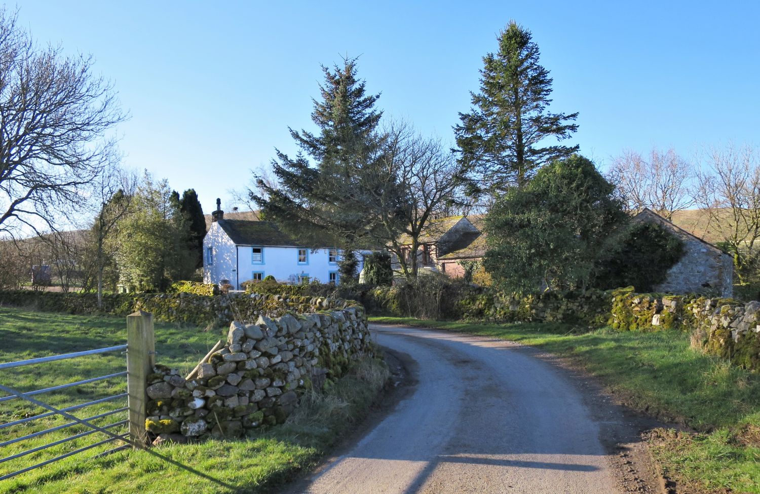 Nether Row
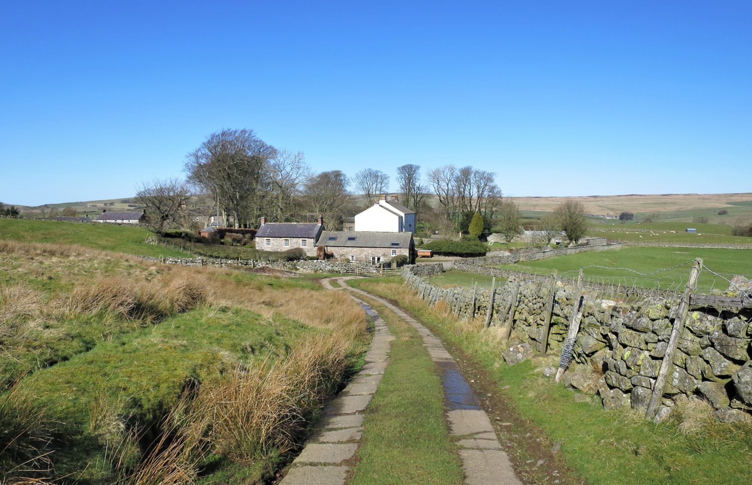
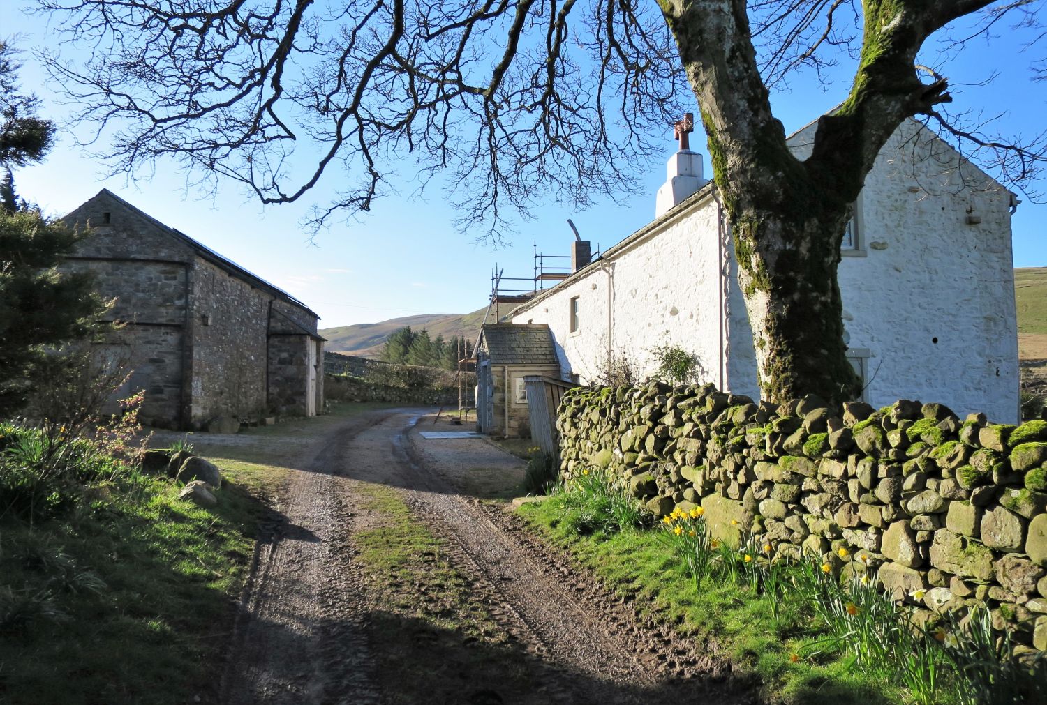 Claybottom Farm
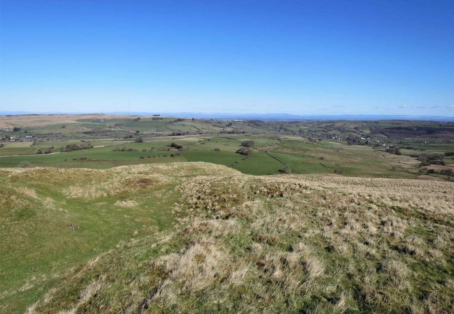
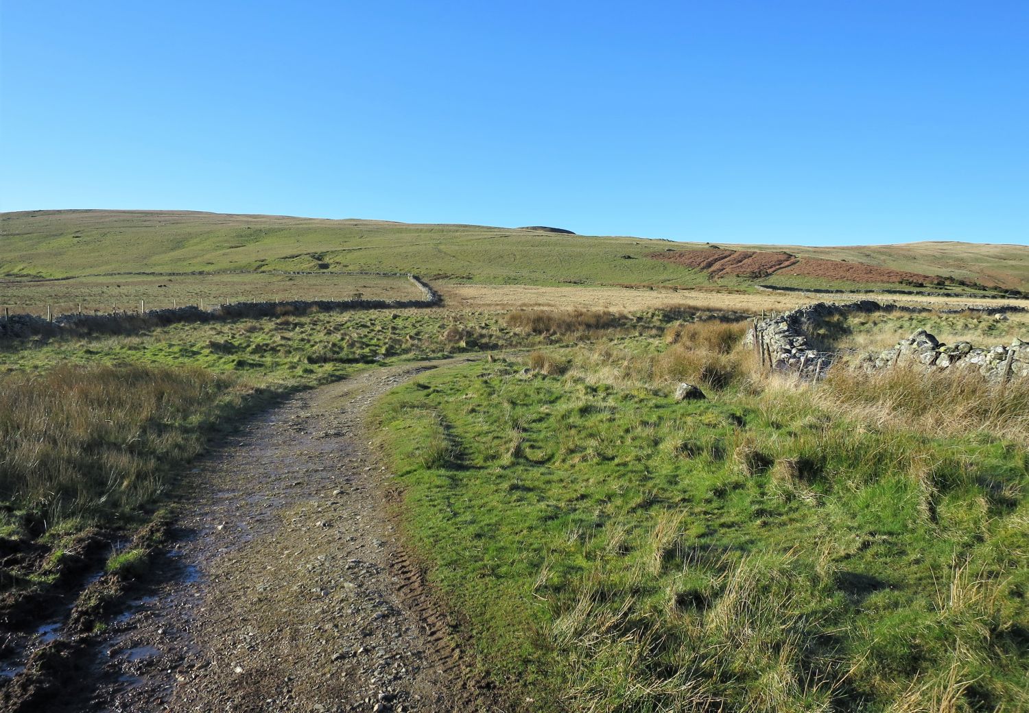 Caldbeck Common
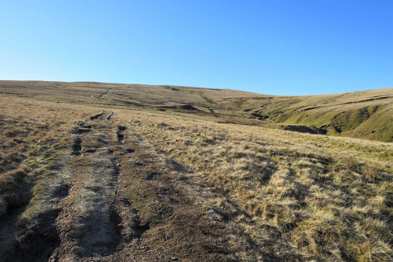
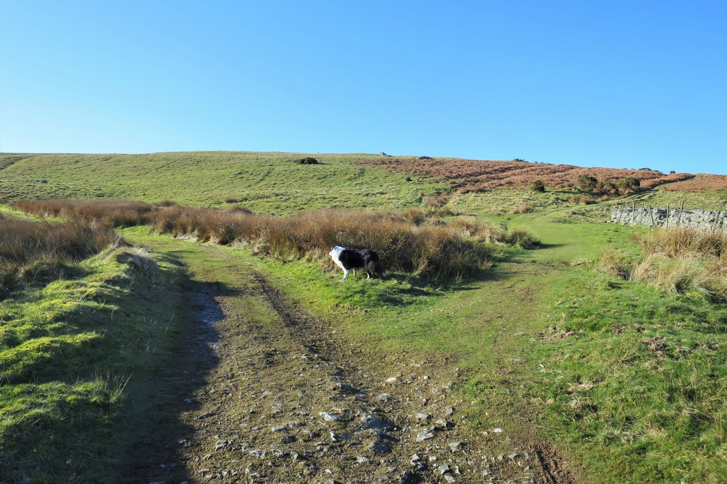 Old mine road leading to Potts Gill Mine
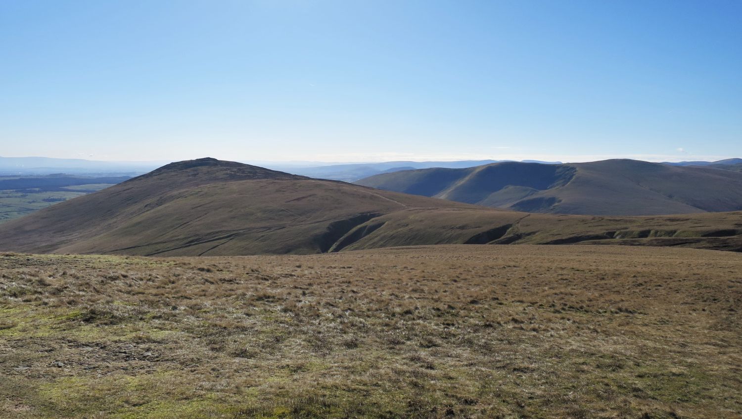
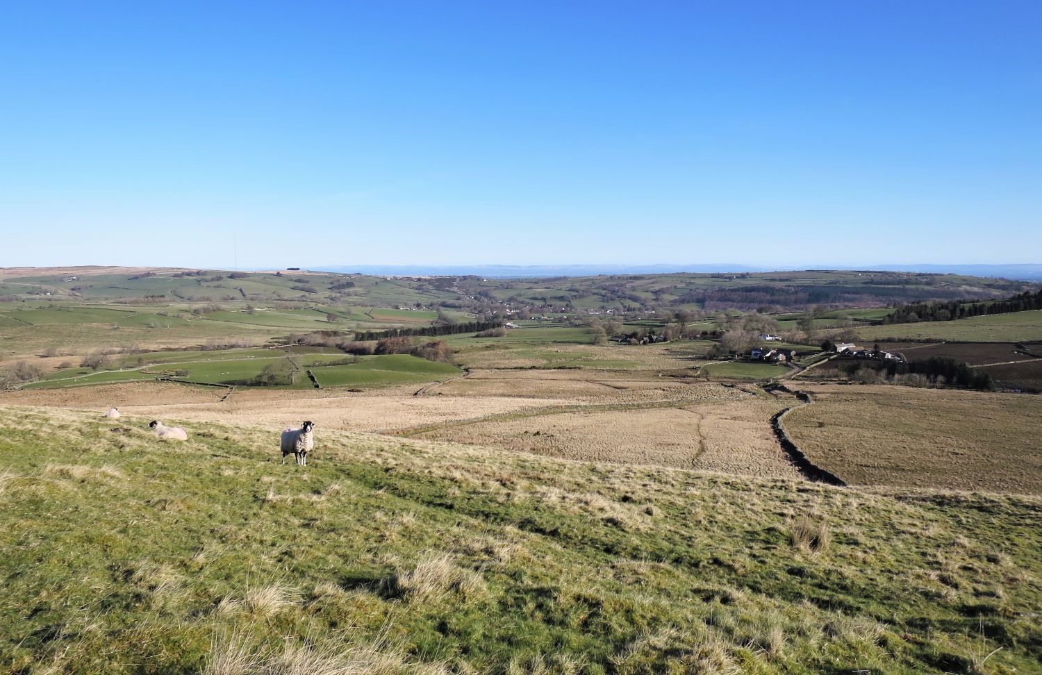 Looking back to Caldbeck and Claybottom Farm from the old mine road
“In bygone days its [High Pike] rich mines provided a livelihood for the men, producing such a prolific variety of minerals that it used to be said, with much truth, “Caldbeck Fells are worth all England else”. This former industry has now vanished (and so have five of the six public-houses in Caldbeck a century or more ago!).” High Pike 2
AW (revised by CJ)
 Spoil heap seen on the approach to Potts Gill Mine
“All the mines in the Caldbeck Fells are located on the slopes of High Pike, along its boundaries or in proximity; and all are within the narrow belt of volcanic rock bounding the area of the Skiddaw slates. All of the mines are now disused, most of them having been worked from a very early date (sixteenth century or before) and been productive of a great variety of valuable minerals. The oldest and richest mine, Roughtongill, is reputed to have yielded 23 different ores and other minerals.” High Pike 3
AW (revised by CJ)
 Looking back to Caldbeck from the Potts Gill Mine spoil heap
“Two mines were in operation up to the 1960s. Sandbed was the main source of supply, Potts Gill the processing and despatching station, and the mineral then being won was barytes (pronounced brytees, locally brytas), a crystallised heavy stone with many commercial uses principally in the manufacture of glass and paint. The most recent operators were McKechnie Brothers Limited.” High Pike 3
AW (revised by CH)
 High Pike the head of Potts Gill
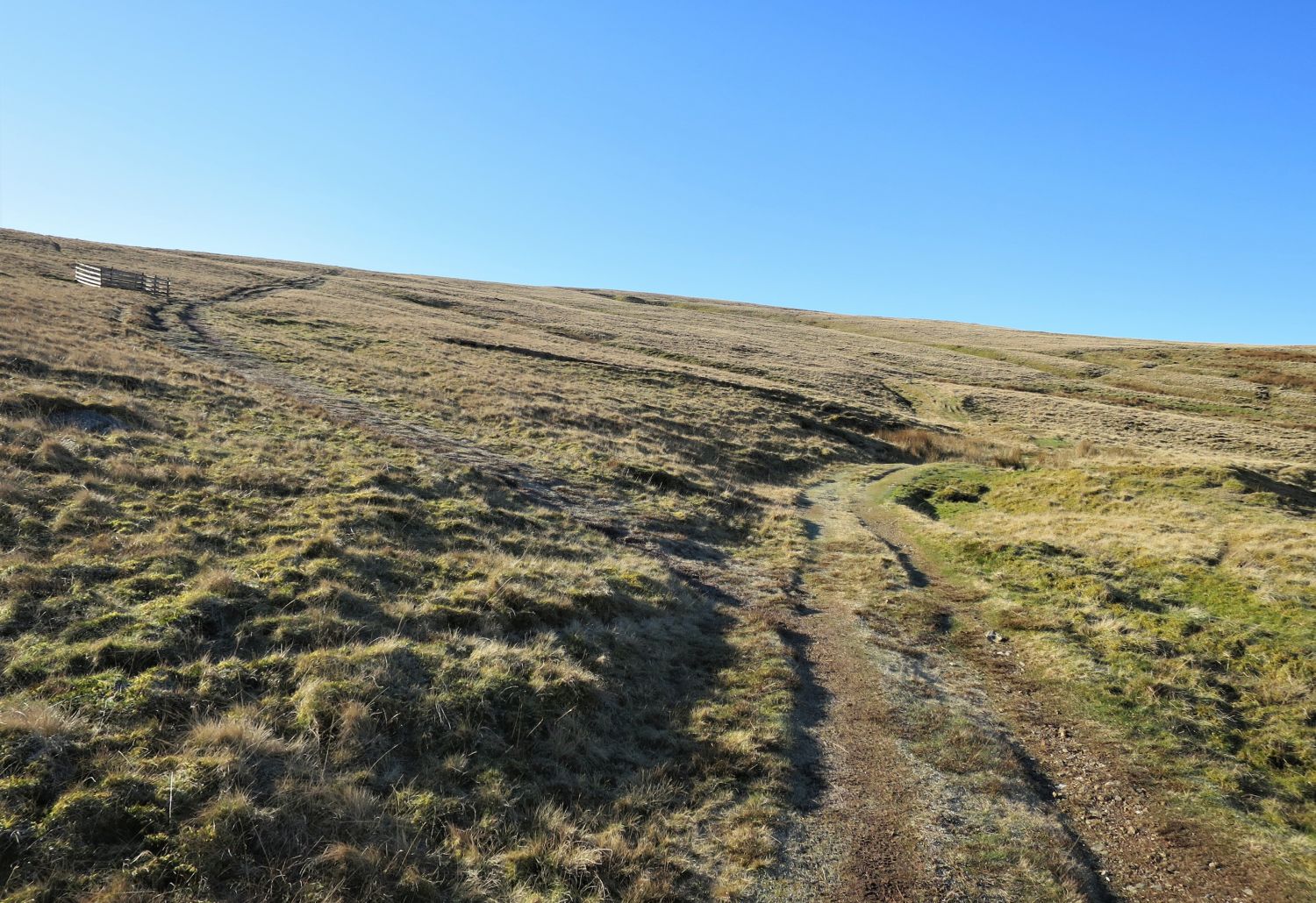 Approaching a fenced shaft at the head of Potts Gill
“Pet dogs and children should be kept on leash in the vicinity of the shafts.” High Pike 9
AW
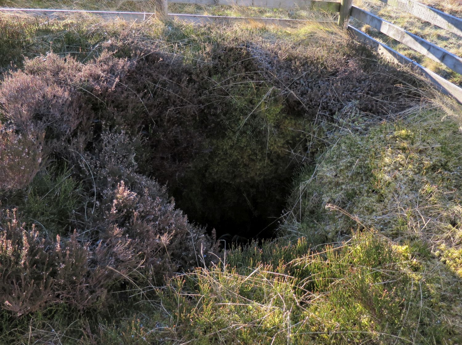 Old shaft opening on High Pike
“These places, for so long scenes of great activity, have today the sad desolation of death about them, but Nature is a great healer, given time, and traces of many former workings have disappeared except for the adits to the old levels. The tunnels and shafts penetrated to great distances and depths in the fellside, forming a labyrinth of subterranean passages along the mineral veins, and when it is remembered that they were hewn with primitive tools and wedges long before gunpowder was known, imagination cannot start to comprehend the skill and industry of the miners of those days, and one is left merely wondering why the fortunate workers of today are prepared to debase their vocations and professions for greater personal rewards. The Caldbeck miners had little schooling yet had nothing to learn about the dignity of labour or of loyalty in service.” High Pike 3
AW
 Looking back to Caldbeck and the fenced shaft
“If it were not for the mine shafts, High Pike could be descended blindfold, so easy are its gradients.” High Pike 12
AW
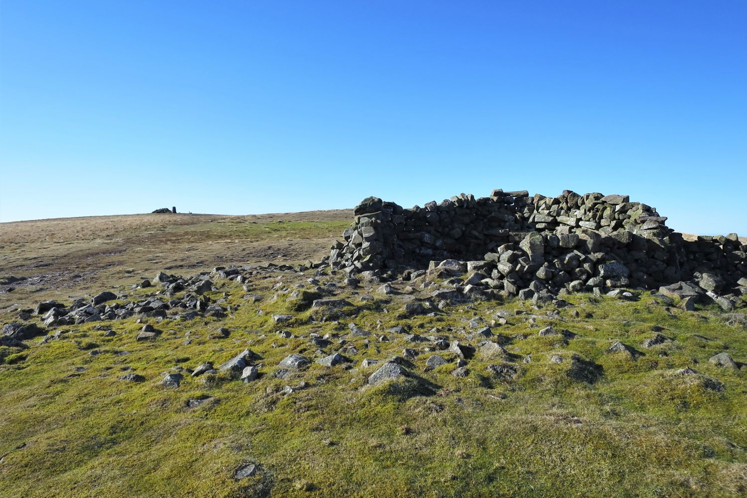
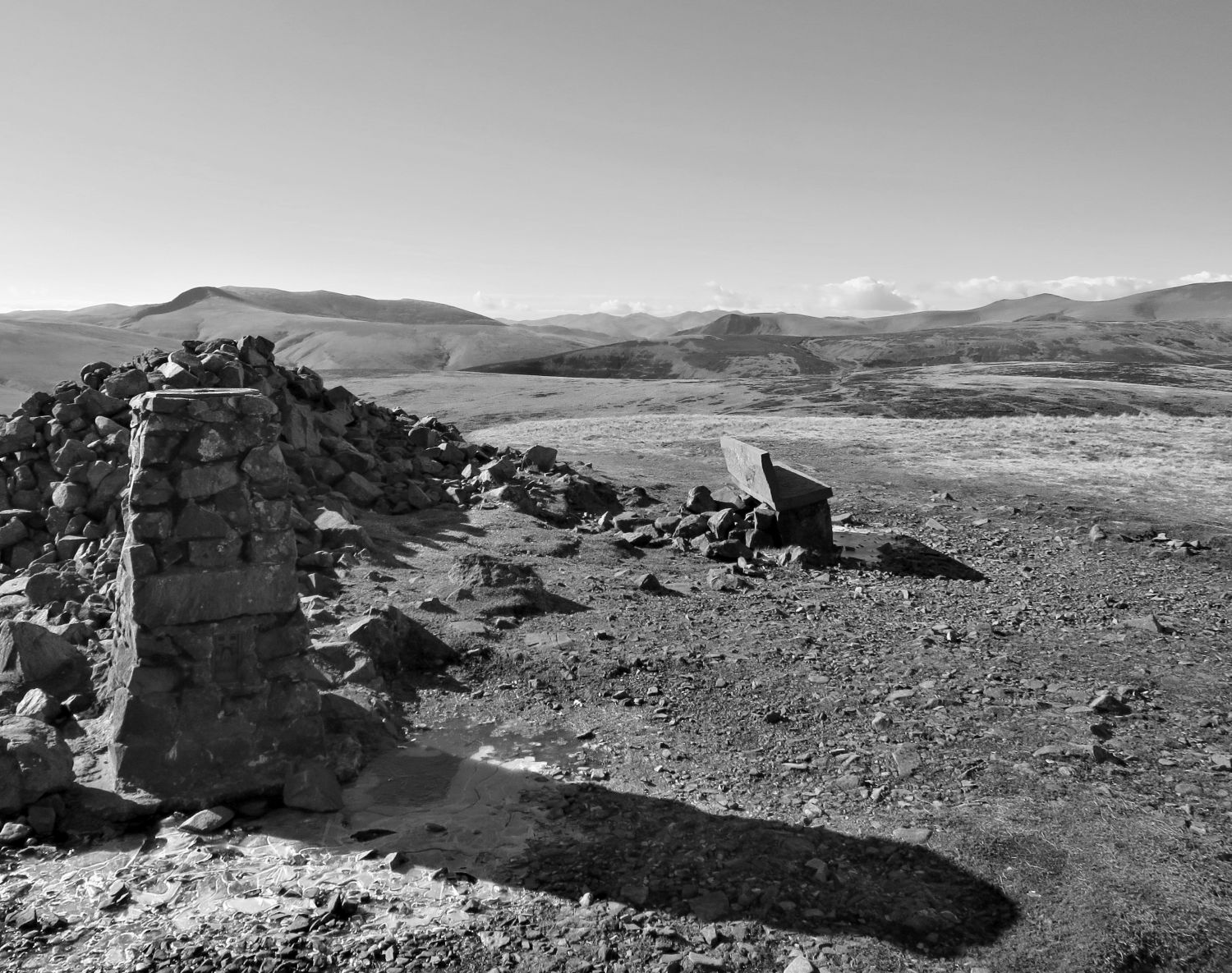
 The north shelter seen from the approach to the summit of High Pike
 Looking back down to Low Pike
 The summit seen from the north shelter
“….Amazingly, this was originally a shepherd’s cottage and has been occupied as such within living memory. A house with a view, indeed! Not even the most ardent fellwalker’s ambition can have aspired to a residence on a mountain top.” High Pike 12
AW
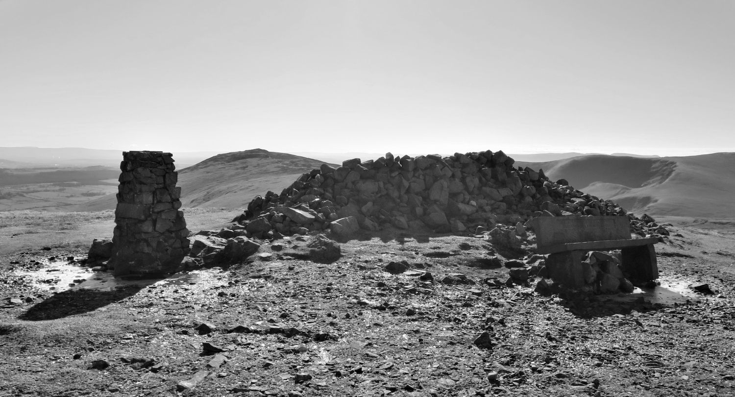
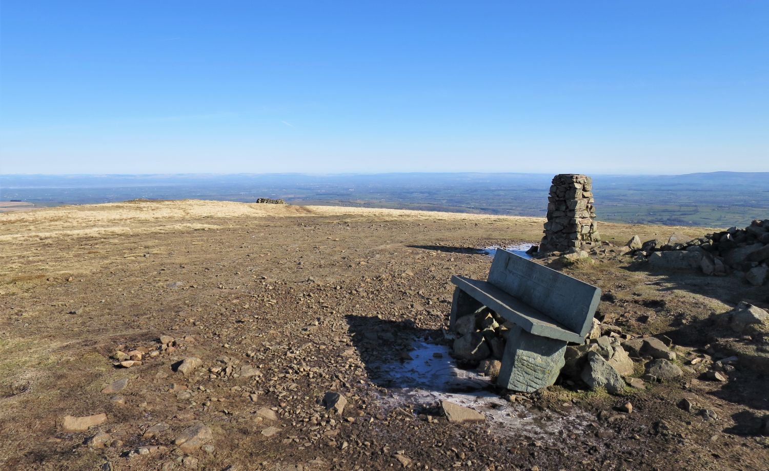
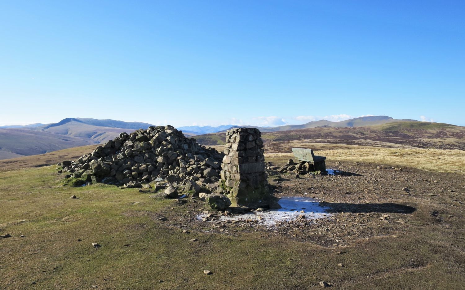 The summit of High Pike
“Apart from the mines on the lower slopes, High Pike is so deprived of landmarks and other distinguishing features that a visitor is likely to approach the summit expecting only a plain grassy top, perhaps even without a cairn since stones are at a premium in the vegetatious prairies all around. It is a surprise, therefore, to find a positive array of objects of interest set out for inspection.
The cairn is there all right, although the great sprawl of heaped stones hardly deserves the name. Obviously at some time in the past a good deal of hard labour has gone into the collection of these stones and their conveyance to the highest point of the fell. Hollowed out on the east side, away from the prevailing wind, this ‘tumulus’ is better described as a shelter.” High Pike 11
AW
 Book Five
The Northern Fells
High Pike 11
The Summit
“1960 looking south”
(without the “iron seat”)
“Up to the end of 1960, the biggest surprise of all was a wrought-iron garden seat, a contraption of elaborate embellishments into the voluptuous curves of which tired limbs surrendered gratefully; no other fell top provided such luxurious comfort. It’s very ornamentation proved its undoing,….
 Book Five
The Northern Fells
High Pike 11
The Summit
“1961 looking south-east”
….however, and it was removed and replaced late in 1960 with another seat – a structure of slate slabs, severely simple in design – after sheep had been found held captive by it, theirs horns entangled in the ironwork….
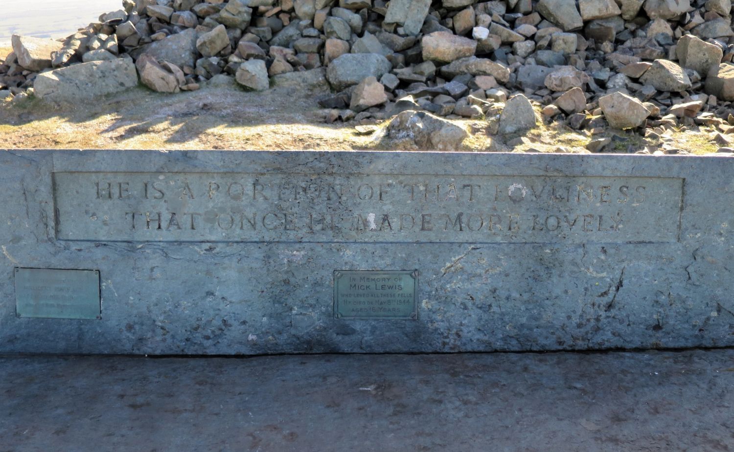 In Memory of
Mick Lewis
Who loved all these fells
He died on May 8th 1944
Aged 16 years
….Both seats, old and new, were placed on the summit as memorials to Mick Lewis, a youth of Nether Row, “who loved all these fells”. Which is a nice thing to say of anybody.” High Pike 12
AW
 Looking north to Carlisle over the north shelter from the summit of High Pike
North of the column, and slightly left of the north shelter, “the turf is interrupted by a circular patch of stones and gravel; this is the site of the beacon, reserved for very special occasions.”
“Big events in history are celebrated here by the building and firing of a beacon. Carlisle knows when Caldbeck rejoices.” High Pike 2
AW
 Carrock Fell, Bowscale Fell and Bannerdale Crags from the summit of High Pike
 Blencathra and Skiddaw from the summit of High Pike
“Southwards, the high skyline of the Skiddaw-Blencathra mass permits only narrow vistas of distant Lakeland. As a viewpoint for looking out from Lakeland, and not into it, however, High Pike takes full advantage of its position on the perimeter and commands a magnificent prospect, all of it fair to look upon, ranging from the west Cumbrian coast and Solway Firth northwards to the Scottish hills and then, from the Border round to the east, the lofty Pennines rise beyond the wide Eden Valley.” High Pike 13
AW
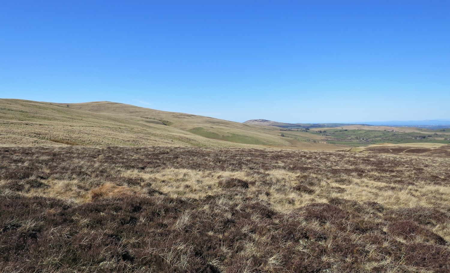
 The long ridge of The Knott, Great and Little Sca Fell, and Brae Fell
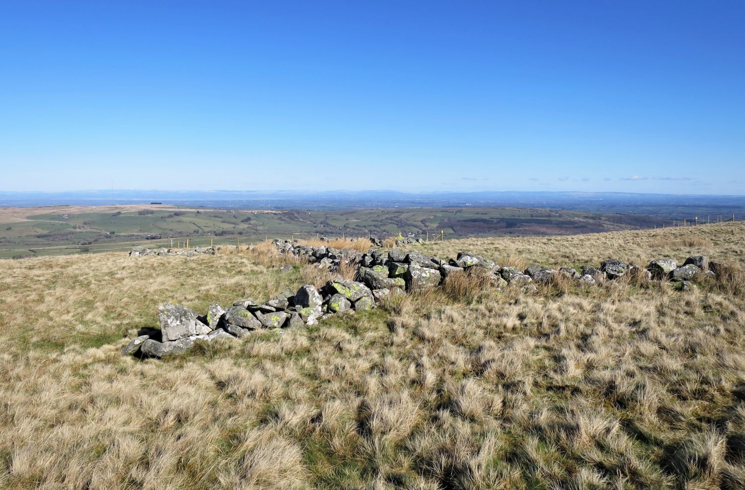
Rather than following the main path to the col between High Pike and Hare Hills, I’ve taken a pathless route to the right over easy ground. This memorial cairn is a good guide.
“The fell is massive, occupying the north-east corner of the high country “back o’ Skidda”, where it overlooks the border and the valley of the Eden. There is volcanic rock underlying the higher parts but this is not greatly in evidence, the slopes being uniformly smooth and grassy except where broken by the eroded ravines that contain watercourses and are such a feature of the area. Beyond the summit is a hinterland of heathery moors, rarely visited and in a fair way to becoming a natural reserve for birds and animals.” High Pike 2
AW
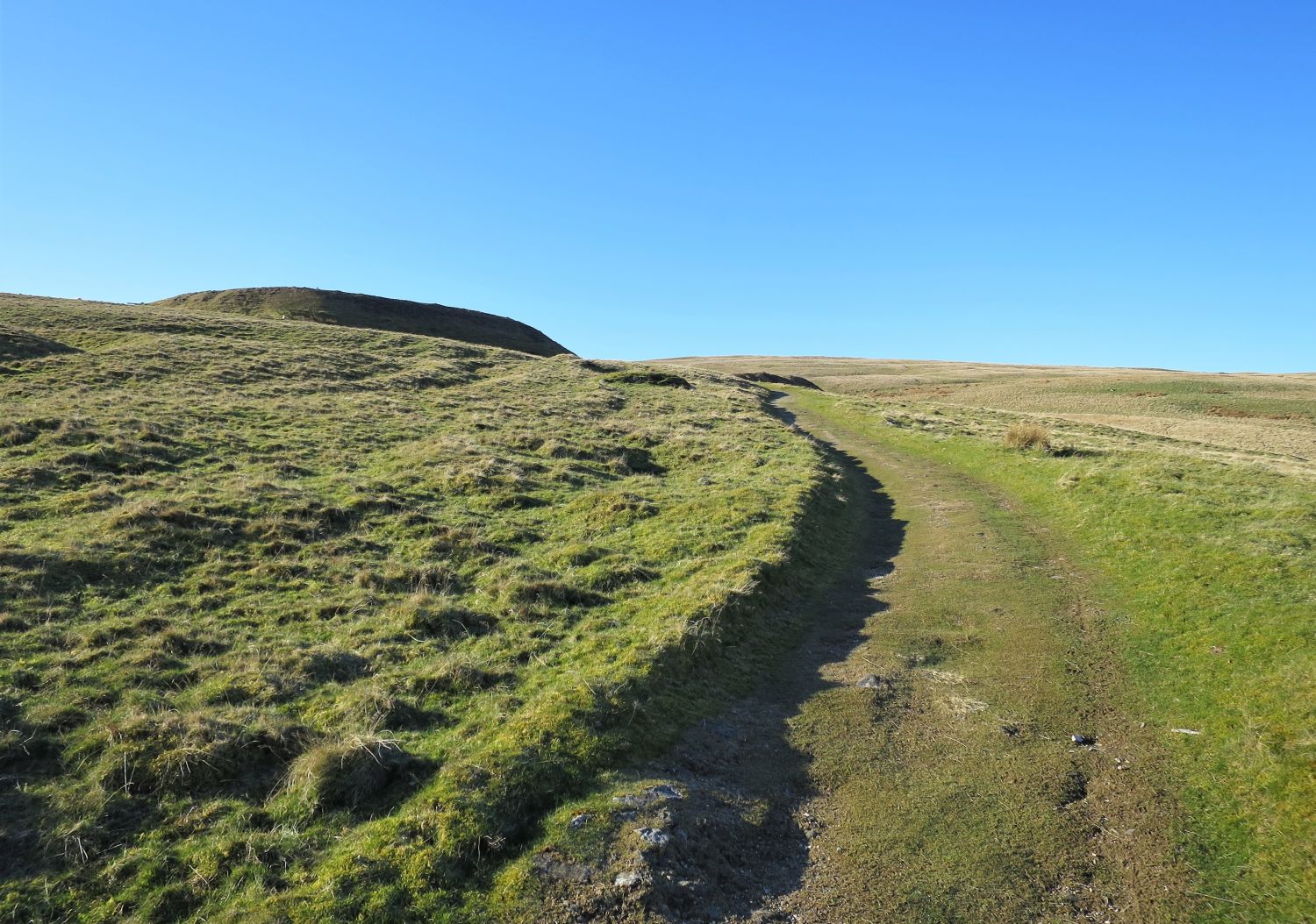
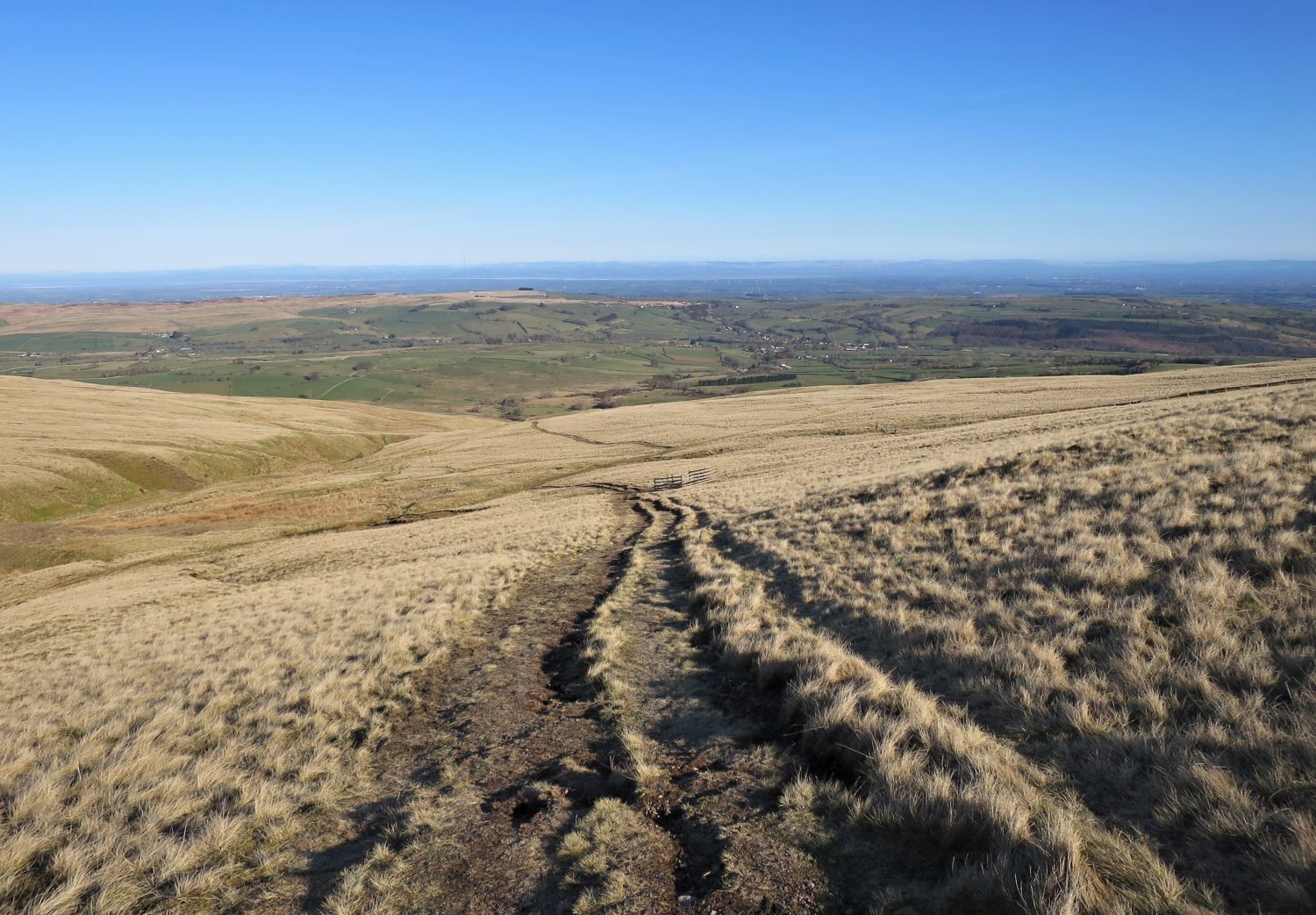
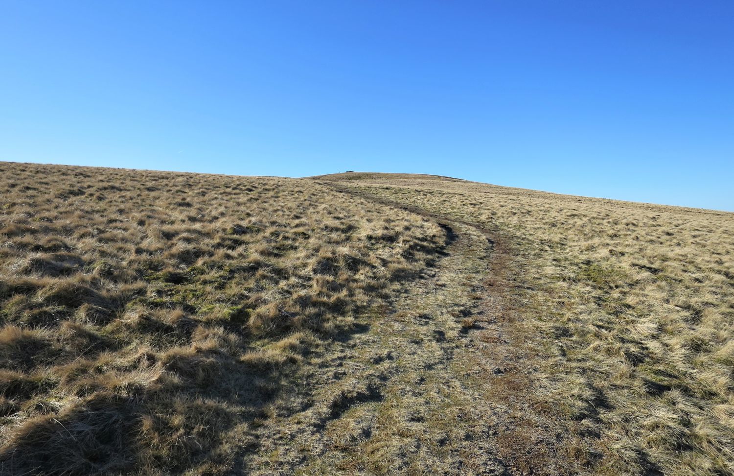
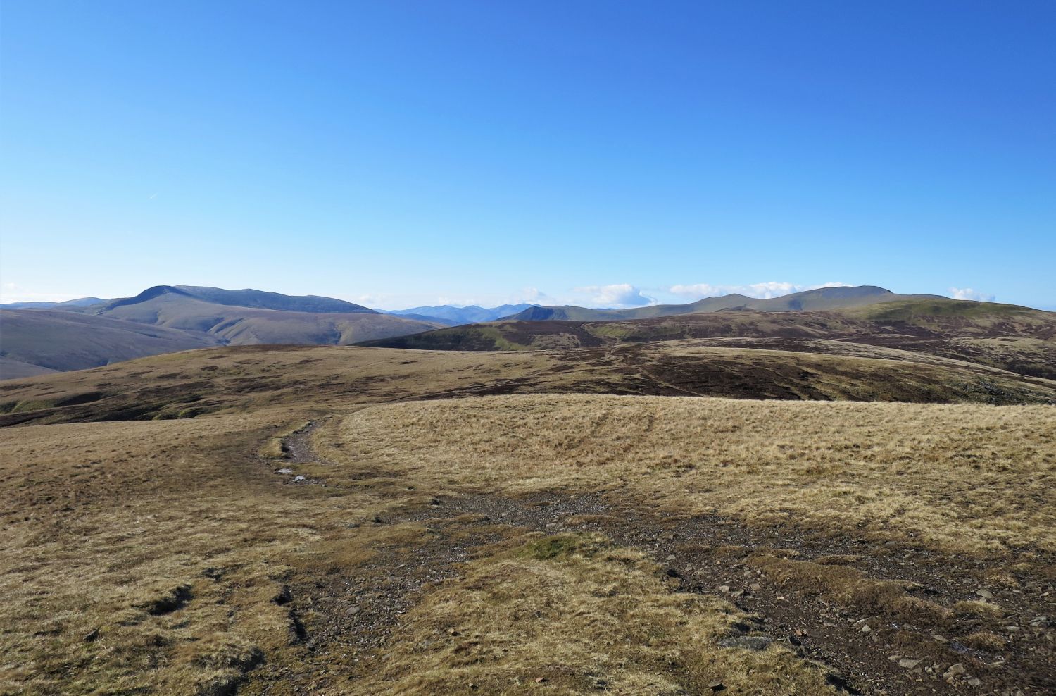
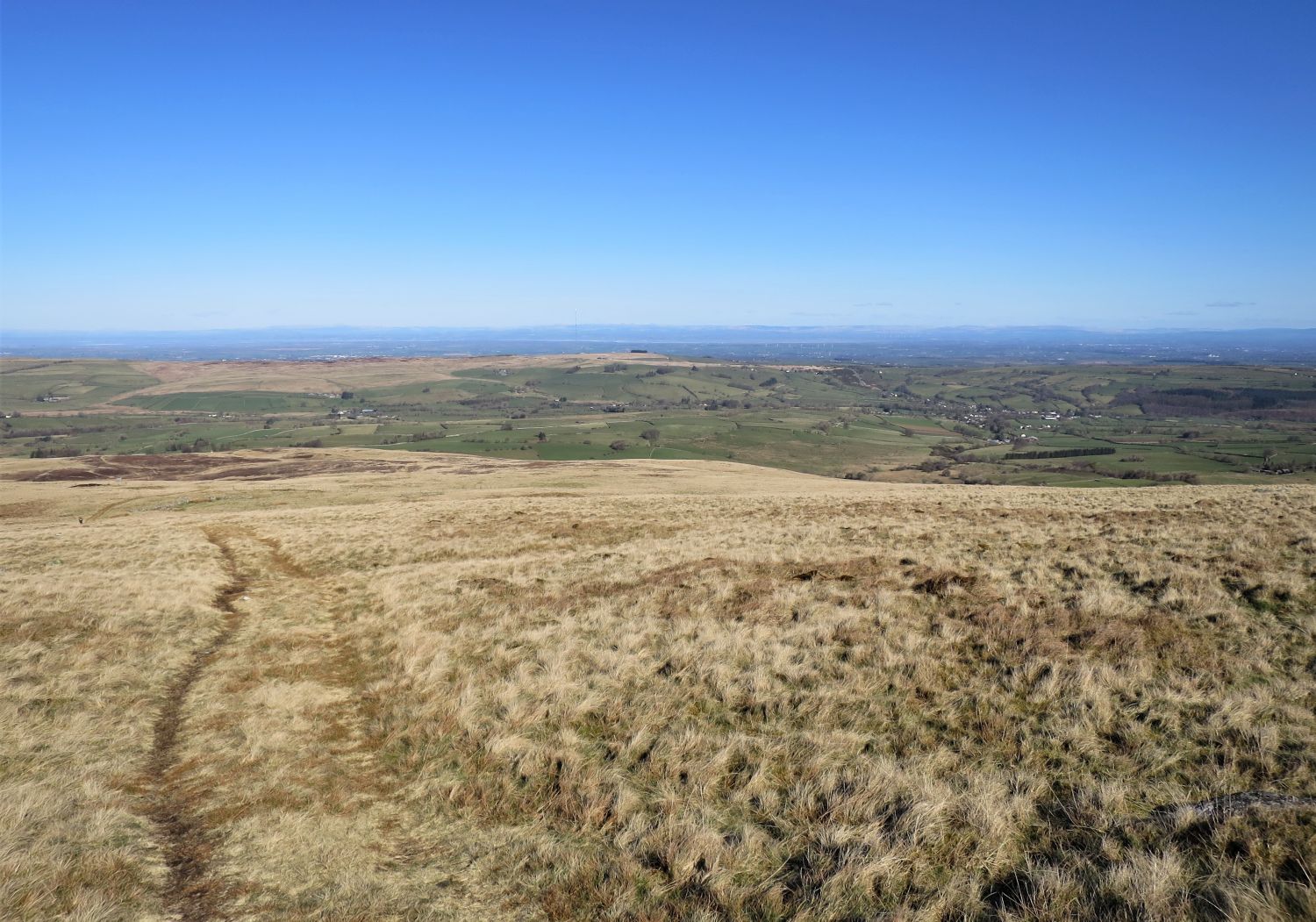
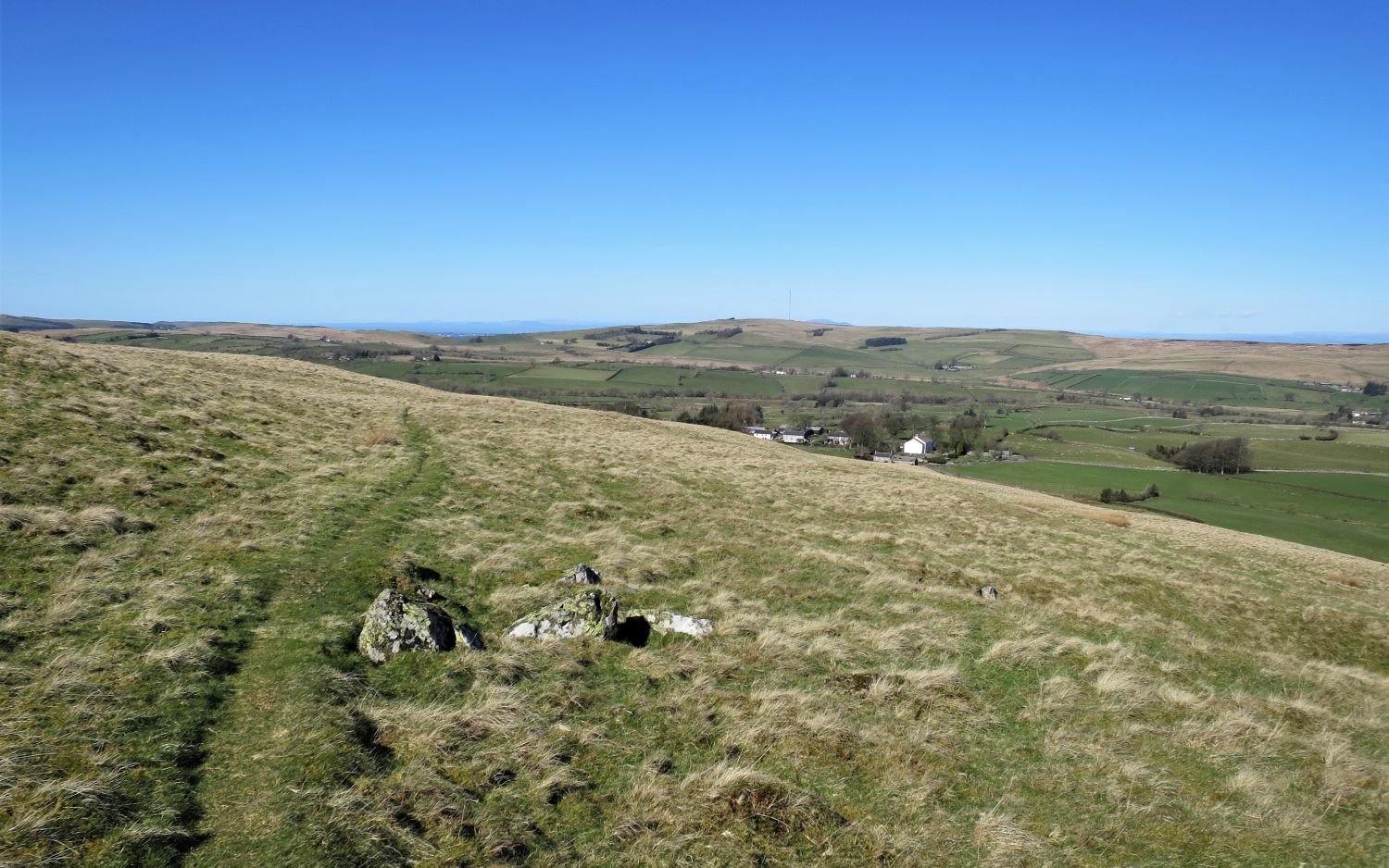
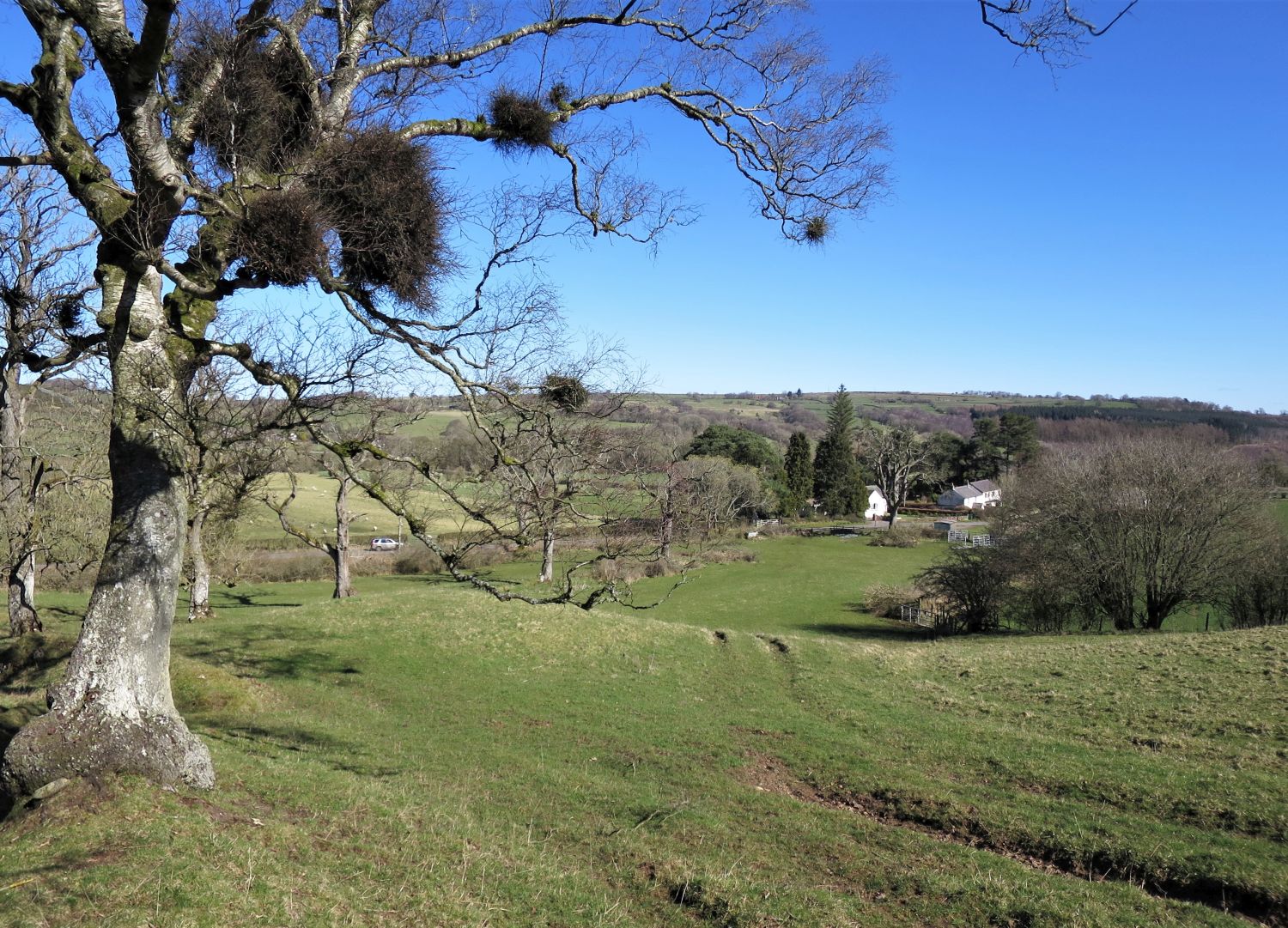
 Path leading to the ridge of Deer Hills and Fellside Brow
I’ve now reached the main path that traverses High Pike’s western flank, which will lead me to the ridge down to Fellside Farm, before heading back to Caldbeck.
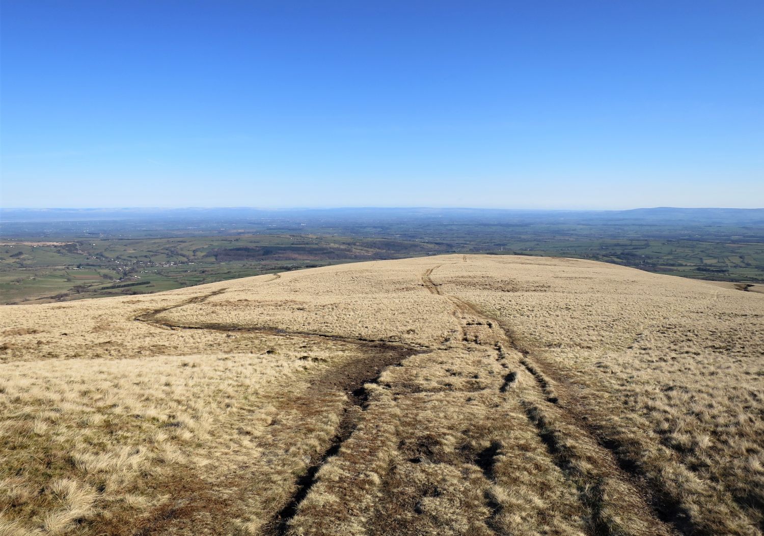
 Looking back to High Pike from Deer Hills
The path that I had followed is over on the right, but as you can see there are a few routes off High Pike.
 Small tarn on the summit of Deer Hills
 The track descending the ridge towards Fellside Brow
 An unusual I-shaped bield on the northern slope of Deer Hills
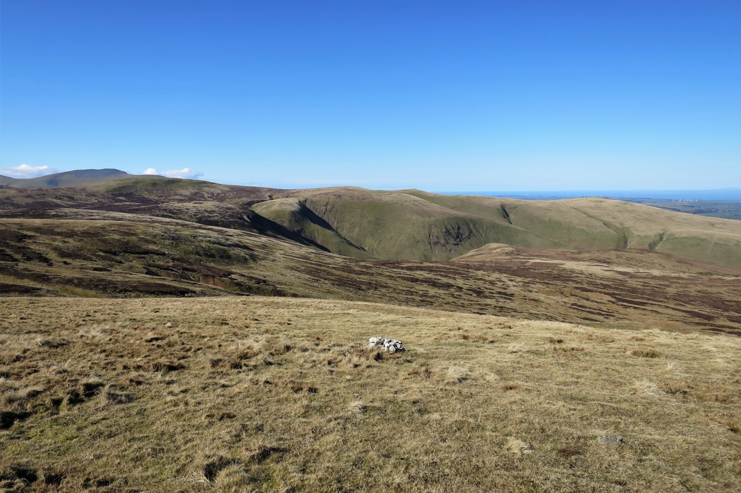
 Looking across to Brae Fell and Binsey in the distance
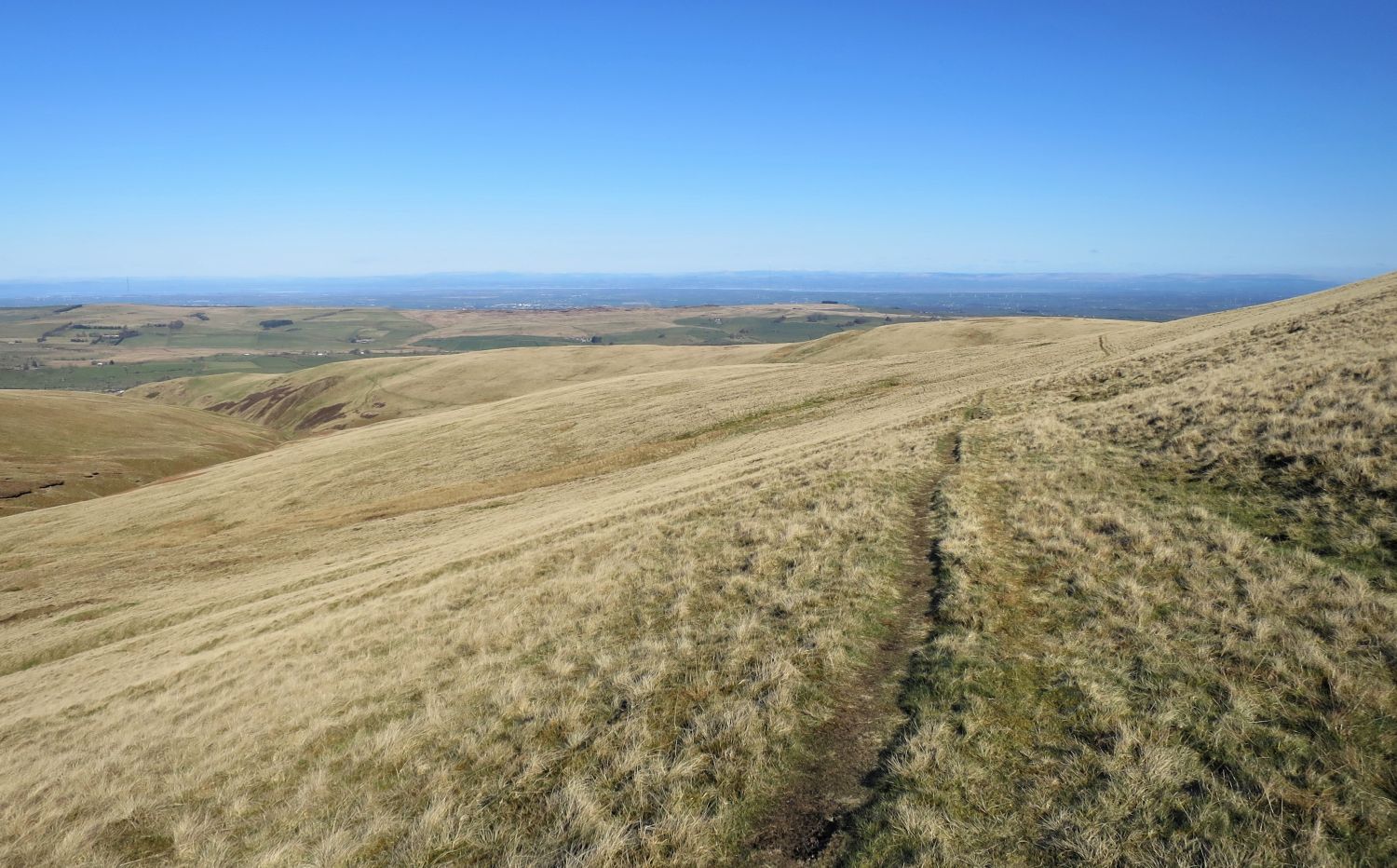
 The track over Fellside Brow
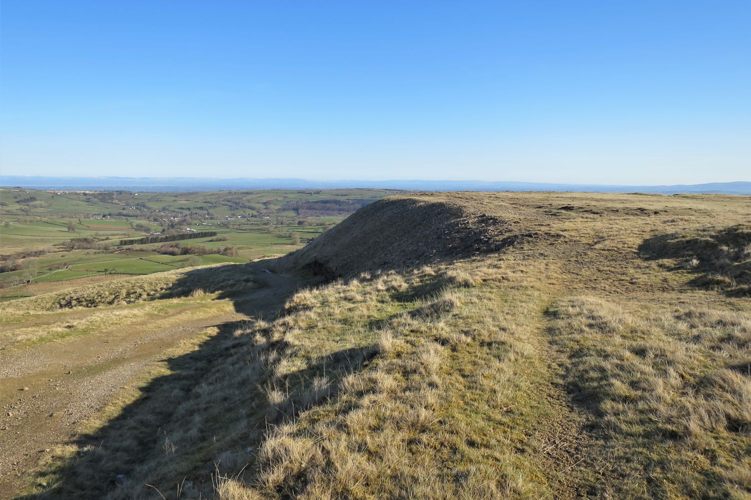
 The site of an old quarry on Fellside Brow
The village of Caldbeck is seen over on the right.
 Ellerbeck Common and Fellside Farm seen from Fellside Brow
 Approaching Fell Side
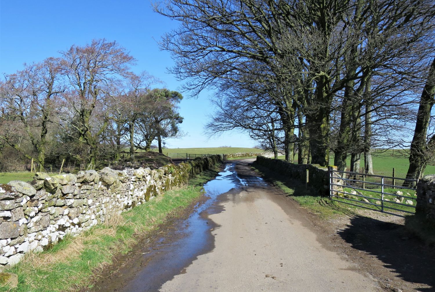 Lane leading to the village of Caldbeck
 Looking back to High Pike
 Descending towards the village of Caldbeck
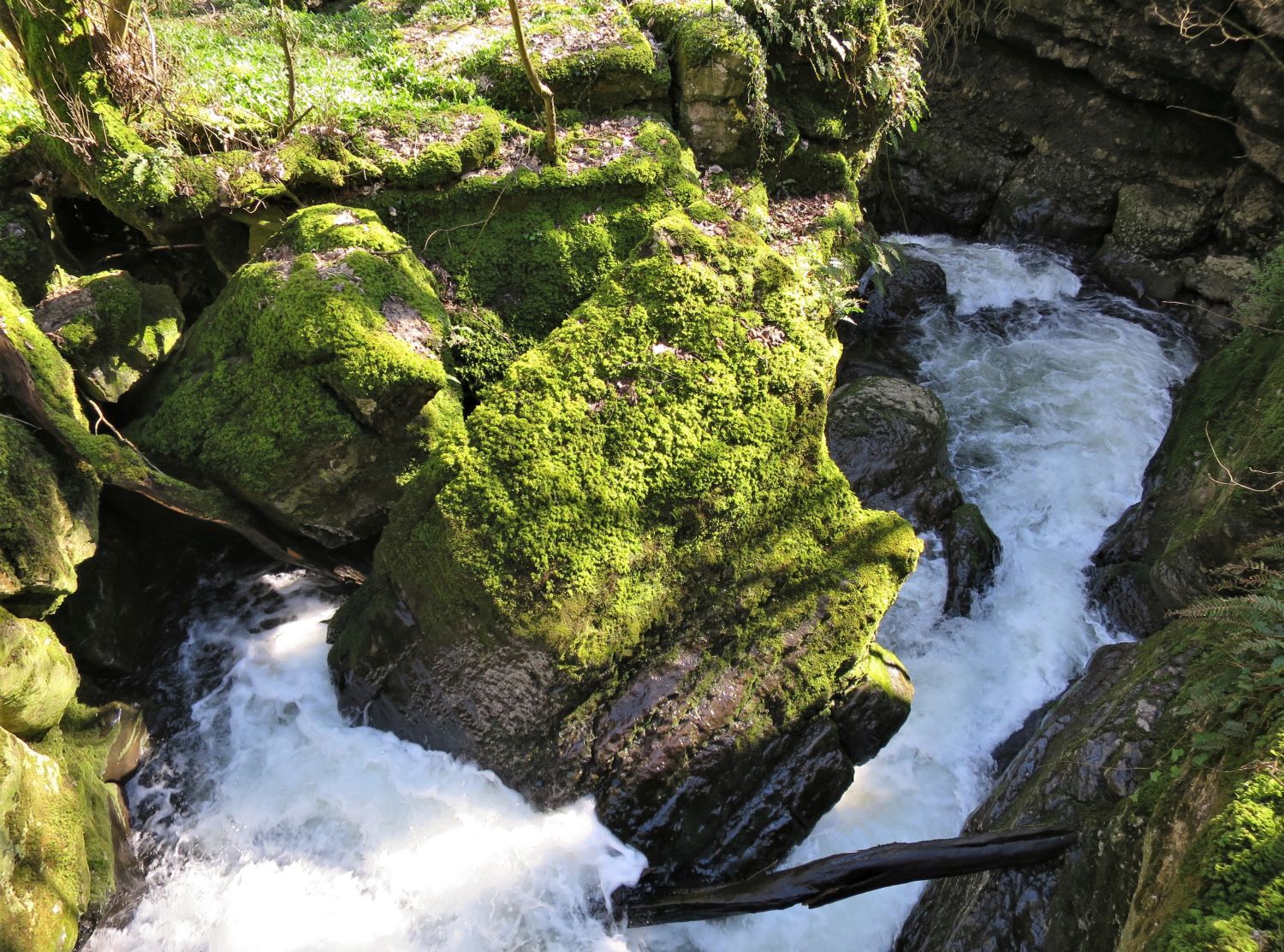 Looking into Howk Gorge from Fairy Bridge
 Looking back to The Howk (main waterfall), Fairy Kettle (deep churn pot) and Fairy Kirk (cavern)
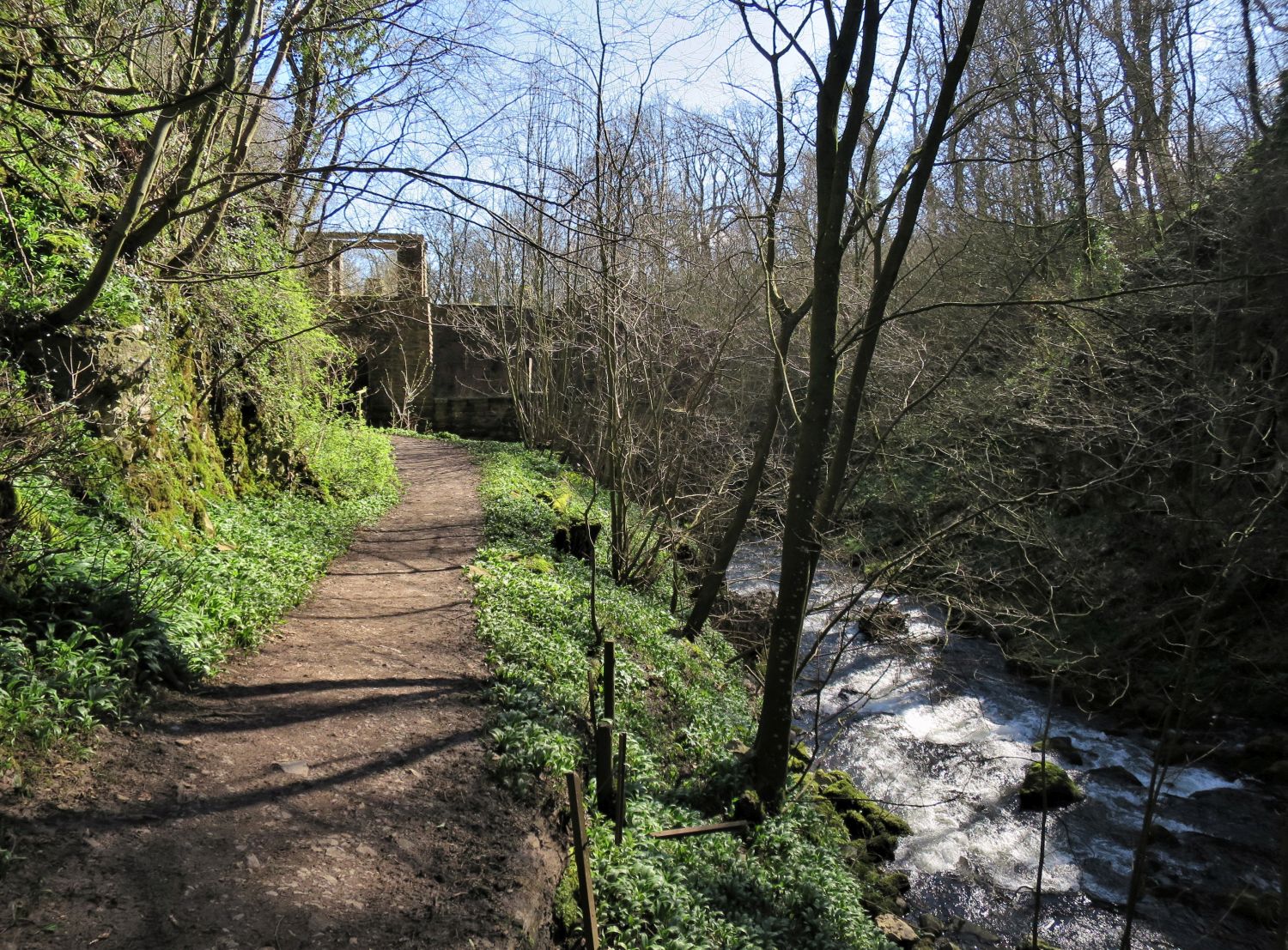 Approaching Howk Bobbin Mill
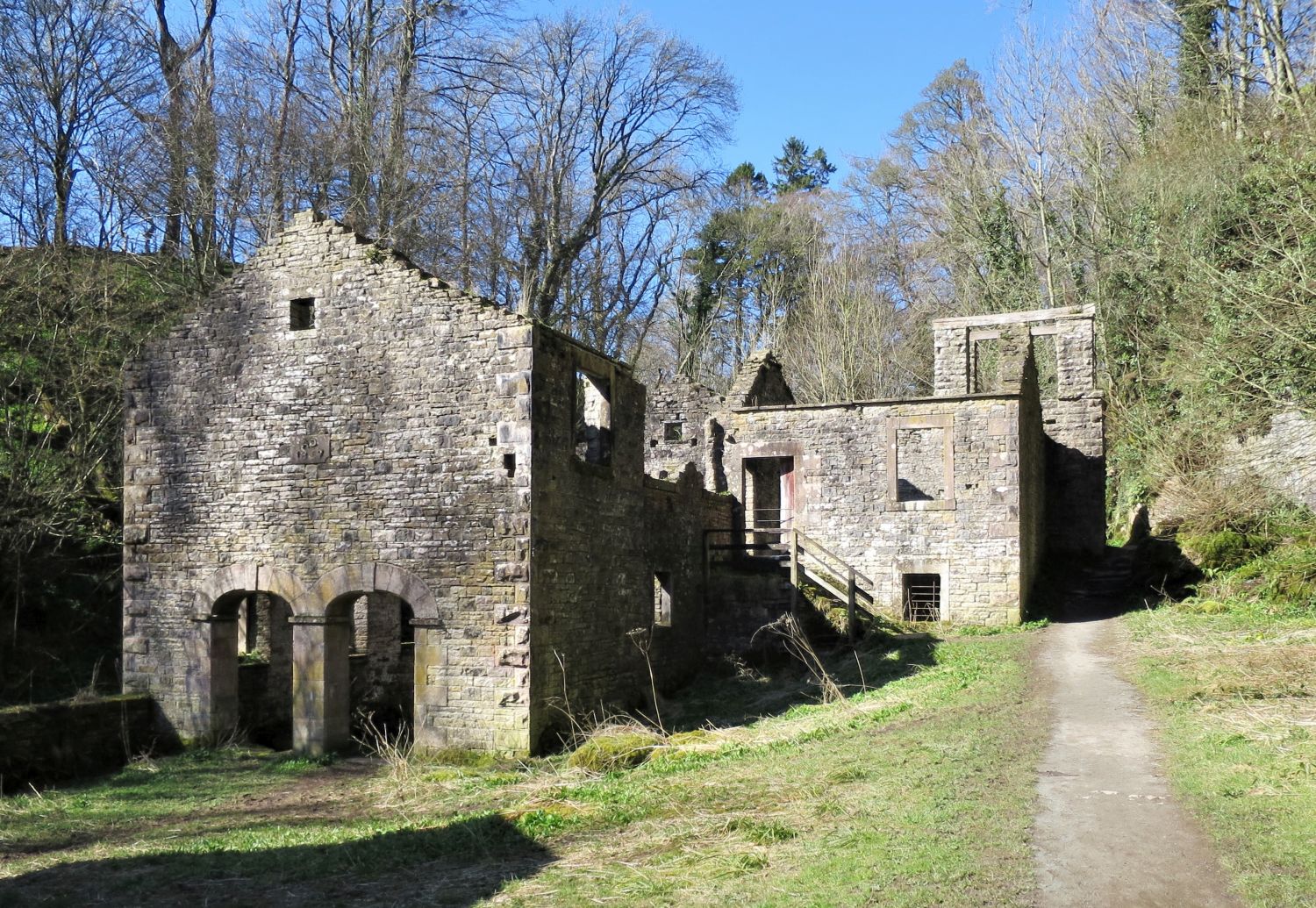 The ruins of Howk Bobbin Mill
“The buildings in this gorge were part of a mill that made wooden bobbins for the textile industry. From 1857 until 1924 this was a noisy and busy place employing up to 60 boys and men. Powered by a large waterwheel, seasoned coppice wood was turned into bobbins. As demand for bobbins waxed and waned the mill also made anything that could be turned from wood, including egg stands, handles for picks and hammers, washing dollies and cartwheel naves.
The Howk was one of the most northerly of more than 100 bobbin mills that once operated in Cumbria. The industry developed because woodlands that had long been coppiced for charcoal production offered an ideal resource for bobbin making. In addition, fast-flowing Lake District rivers provided a ready source of power. By the time this mill was built, Lakeland mills accounted for about half the bobbins produced in Britain.
The Howk was one of many mills that made Caldbeck a very productive village. Rich natural resources, including abundant water power, led to Caldbeck at one time or another having fulling mills, corn mills, four wood turning mills and a paper mill. It also had a barytes crushing works and a brewery.
The National Park Authority takes care of this important piece of Caldbeck’s industrial past. The Authority leases the land from the owner and has worked with Caldbeck Historical Society, English Heritage and the European Union to fund conservation of the site. Recent work has stabilised the mill ruins and helped to unravel the mill’s story.
The limestone gorge in which the mill sits is a very special place. Its water-sculpted features have attracted romantic names such as ‘Fairy Kettle’ and ‘Fairy Kirk’. The rich vegetation of the gorge is typical of a limestone woodland and it includes rare ferns, such as the Shield Fern. The National Park Authority manages the woodland to maintain this diversity and to create a good habitat for wildlife, especially woodland birds.”
 Approaching the village of Caldbeck
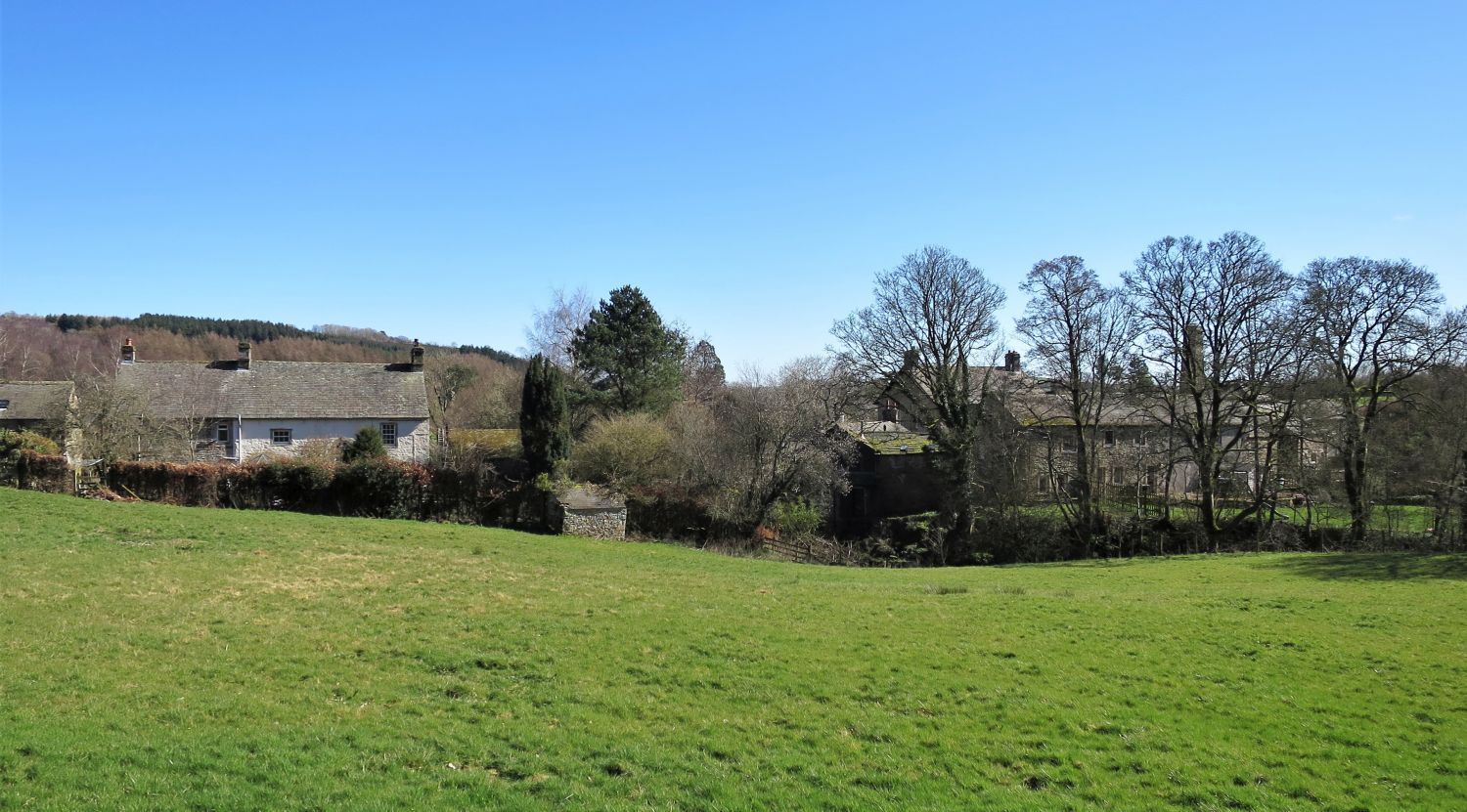
 The village of Caldbeck
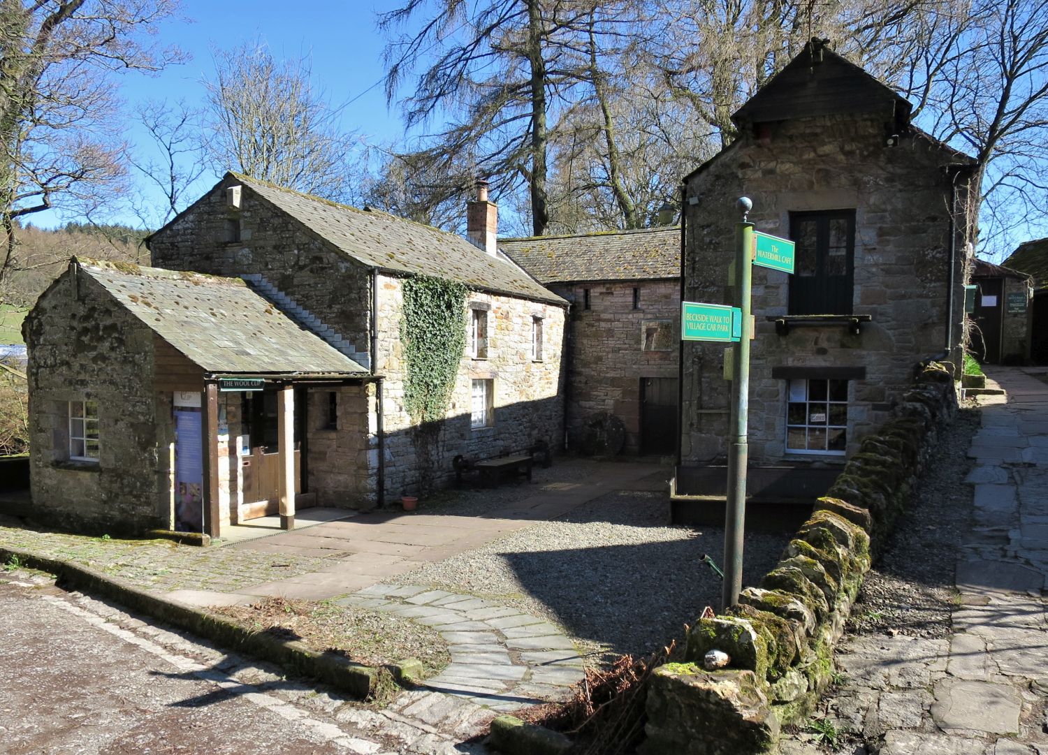 Priests Mill, Caldbeck
Priests Mill is an old watermill built by a rector of Caldbeck on the riverbank just below the Church where John Peel and the Beauty of Buttermere lie buried. It is in a secluded position, almost hidden from the road. From 1702 to 1933 it was used as a stone-grinding cornmill. After that it was mainly used as a sawmill and joiner’s workshop until 1965, when floods caused the mill dam to be destroyed.
The award winning restoration of the mill was completed in 1986. The only machinery left is the 14ft diameter waterwheel which is now restored to working order. The inside wheel pit area displays a local collection of old rural implements. Most of the early 18th Century stone building is used to house an attractive restaurant overlooking the river, and various craft and gift shops. There is a picnic area beside the river.
Thank you for visiting.
Richard
<<>>
Thanks, sources and further reading:
‘Book Five – The Northern Fells’ by Alfred Wainwright
Lake District National Park Authority
National Library of Scotland
Visit Cumbria