
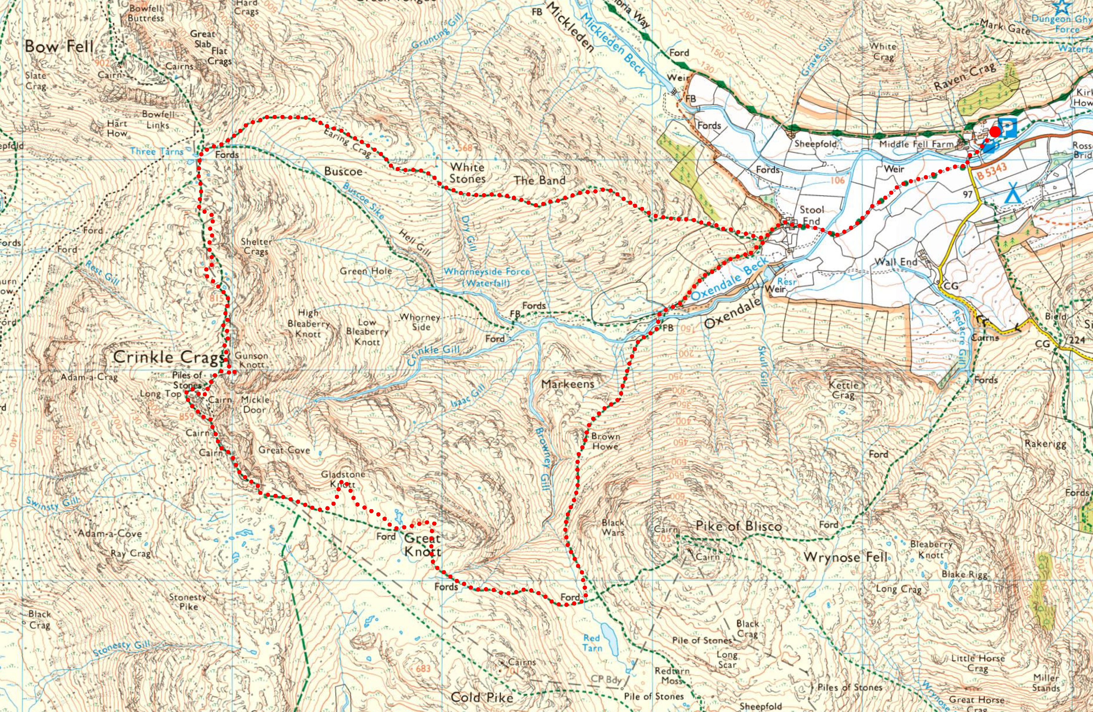
A classic walk at the head of Great Langdale, featuring the very rewarding tops of Crinkle Crags, and its neighbours, Shelter Crags, Gladstone Knott and Great Knott. On this occasion, starting from Old Dungeon Ghyll, I chose to walk the route anticlockwise, which involves ascending The Band before returning to Oxendale via the Brown Howe route.
Due to the complexity of the Crinkles, walking along this maze of tops in mist can be a challenge for many, so in this Route 39 post I’ve illustrated the tops — and the views they provide — the best I can. It is due to these amazing views that I highly recommend walking this ridge in clear weather.
Although this walk includes a mountain camp, the route itself is designed as a day walk.
Richard
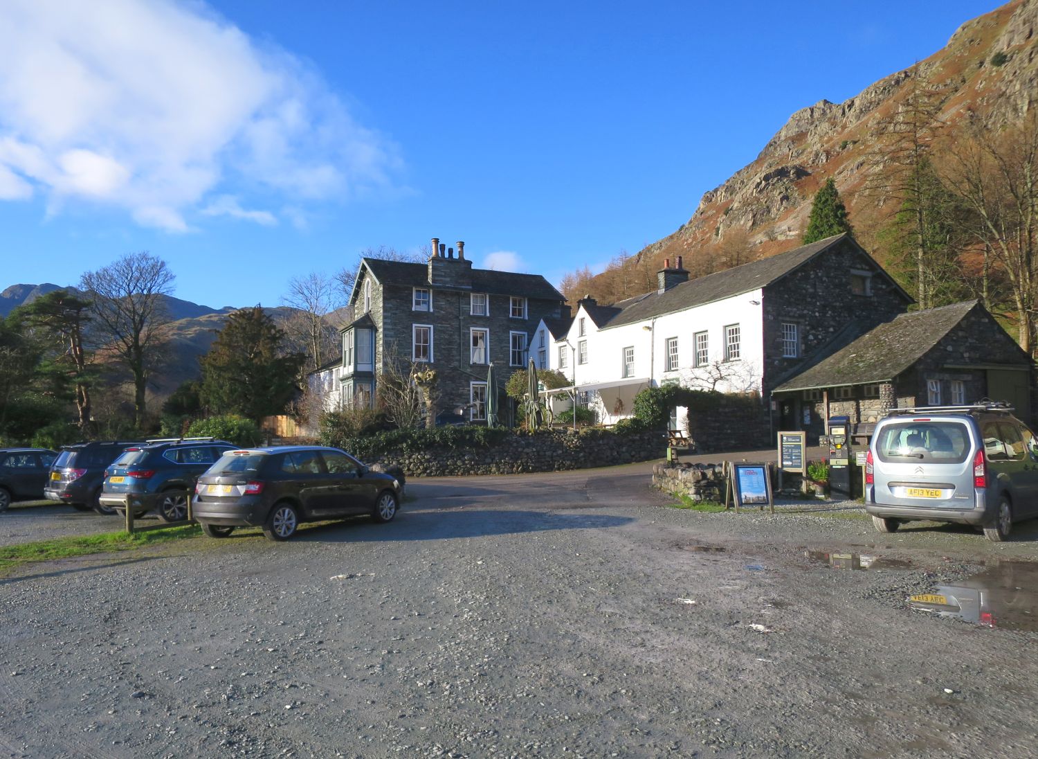
We begin our journey from the Old Dungeon Ghyll car park. If you are camping, you can pay to leave your car here overnight — or if you are a National Trust member, like myself, you can scan your membership card twice; once in the evening, and again in the morning.
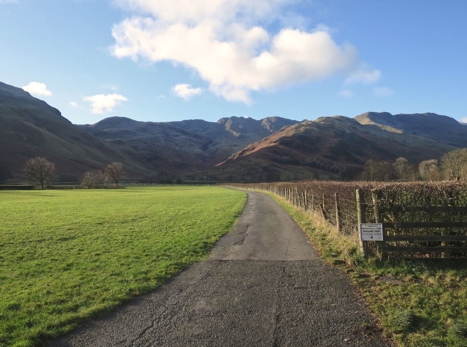
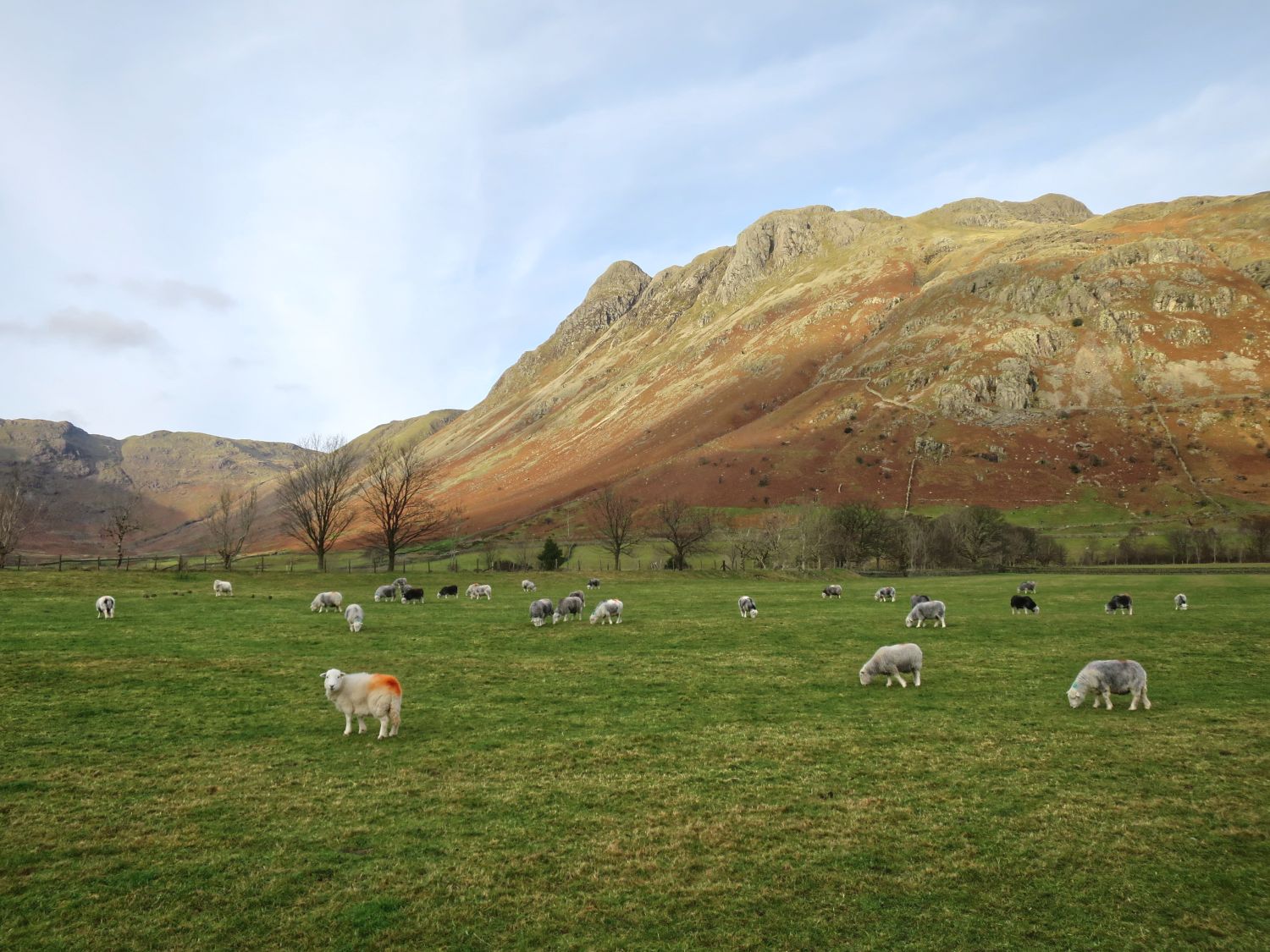
On the skyline from left to right, we have Great Knott, Crinkle Crags, Shelter Crags and Bowfell. The Band blocks the view of the col of Three Tarns, which lies between Shelter Crags and Bowfell.
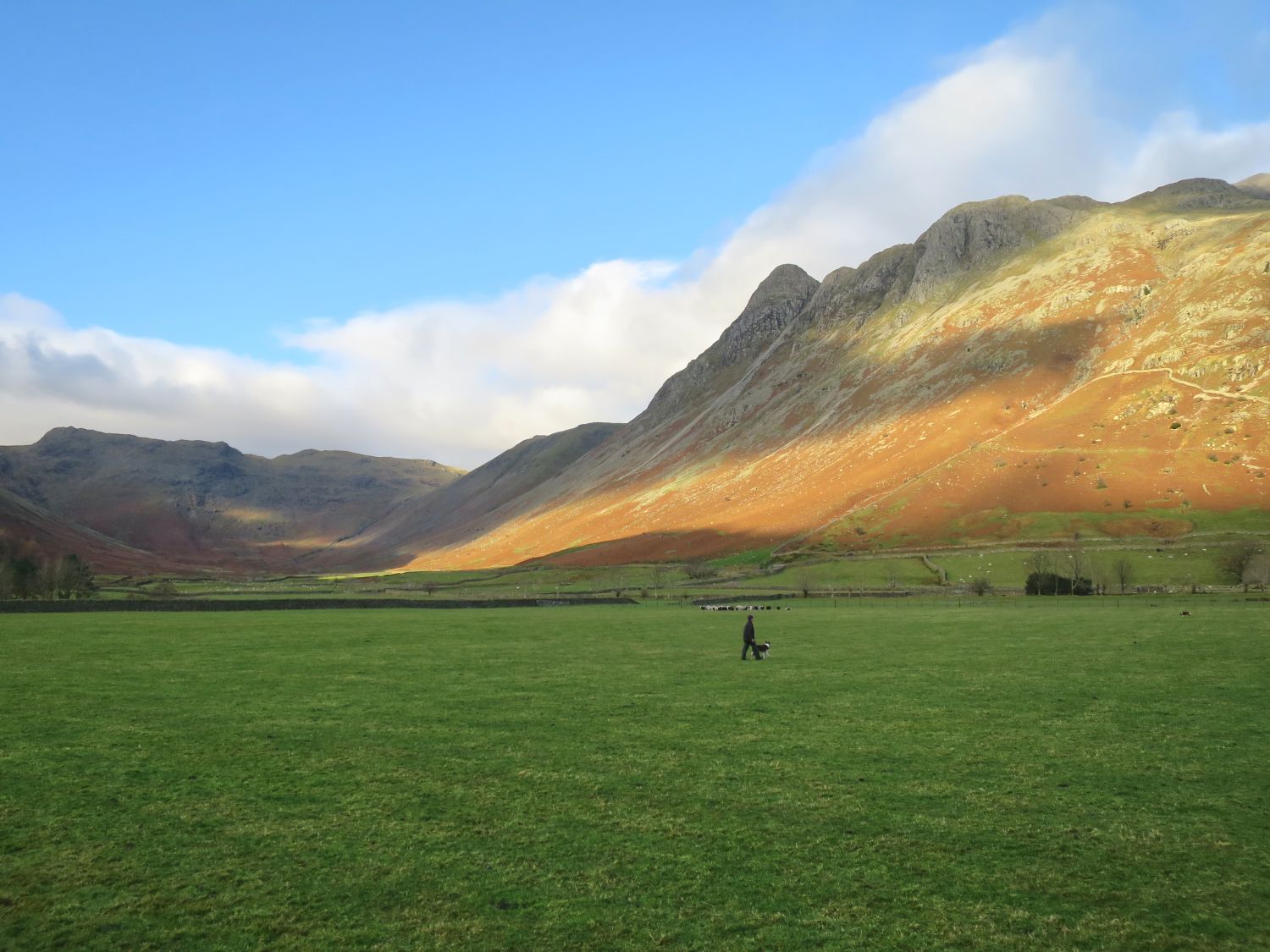
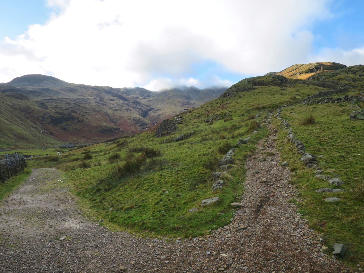
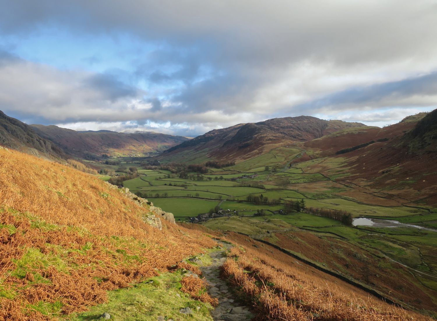
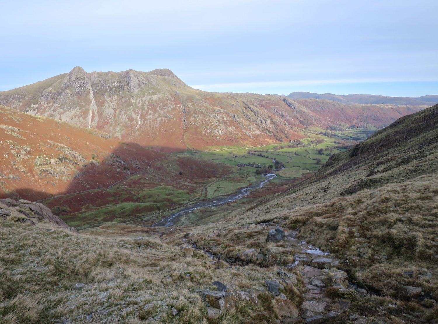
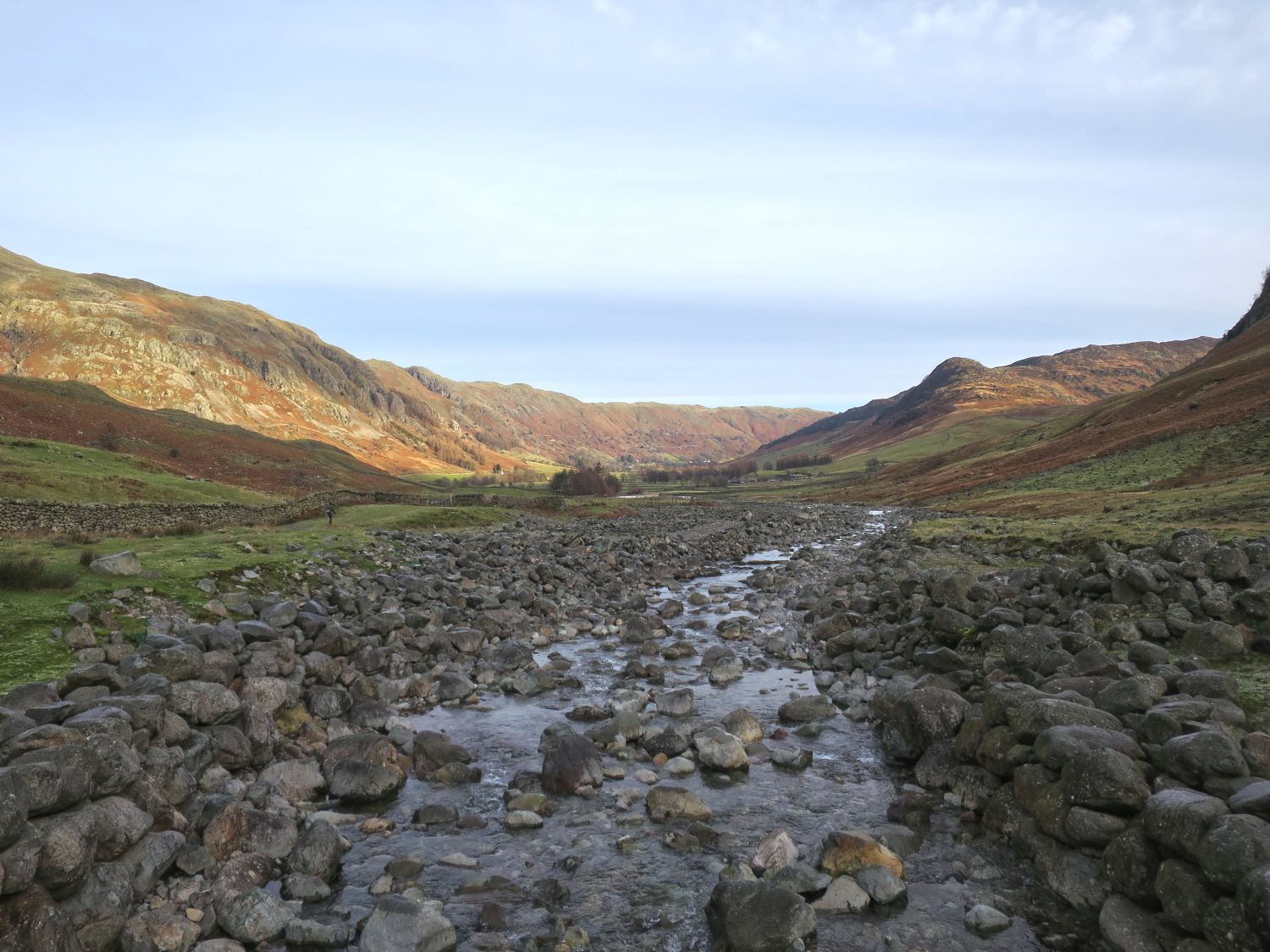
A little further from Stool End Farm, and we’ve arrived at the base of The Band, a long ascending ridge that leads to Three Tarns, a col between Shelter Crags and Bowfell. To the left, the track continues into Oxendale — this will be the route we’ll return by tomorrow morning.
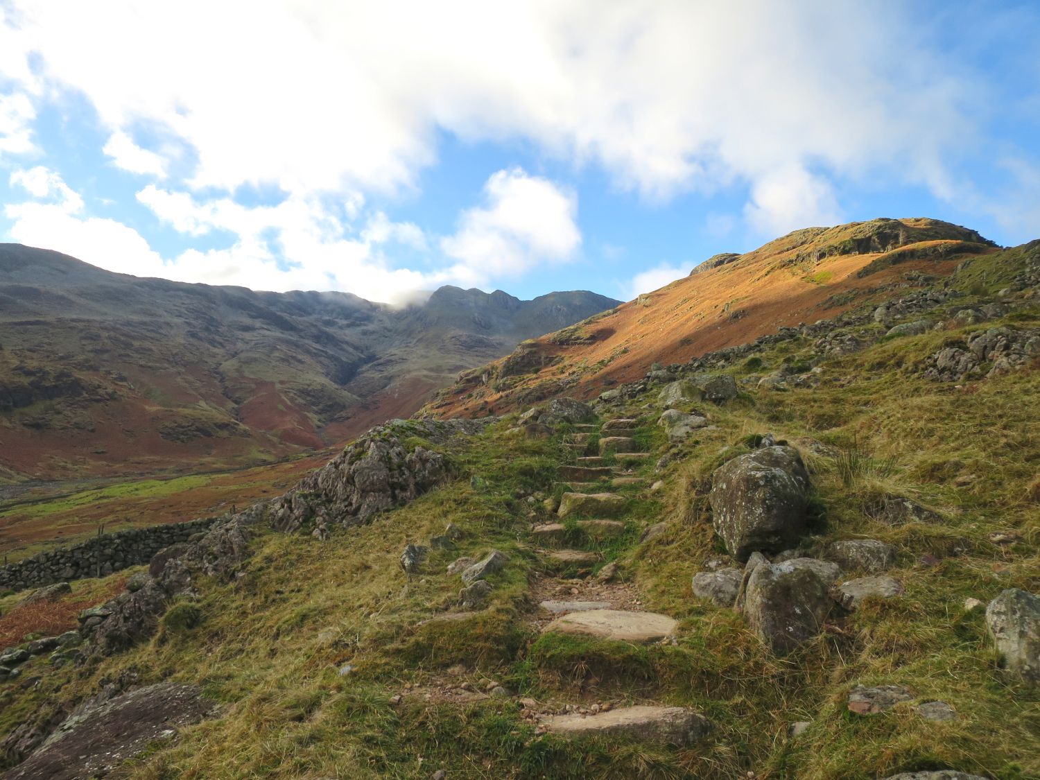
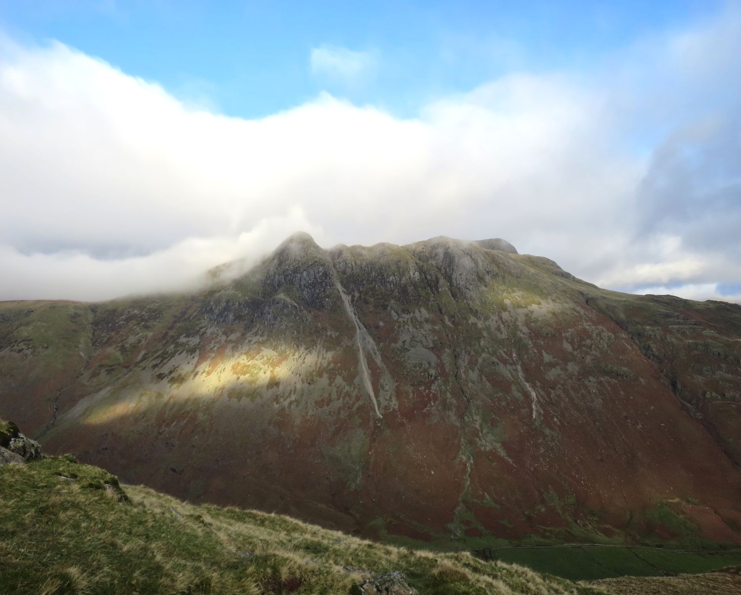
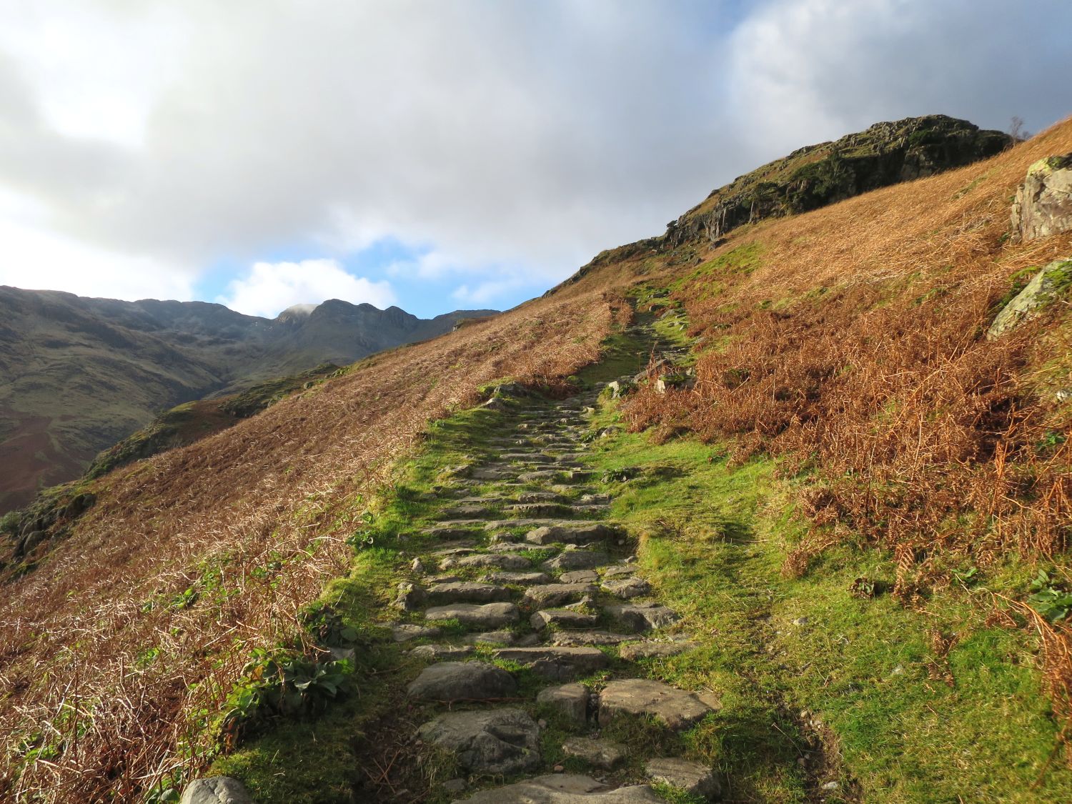
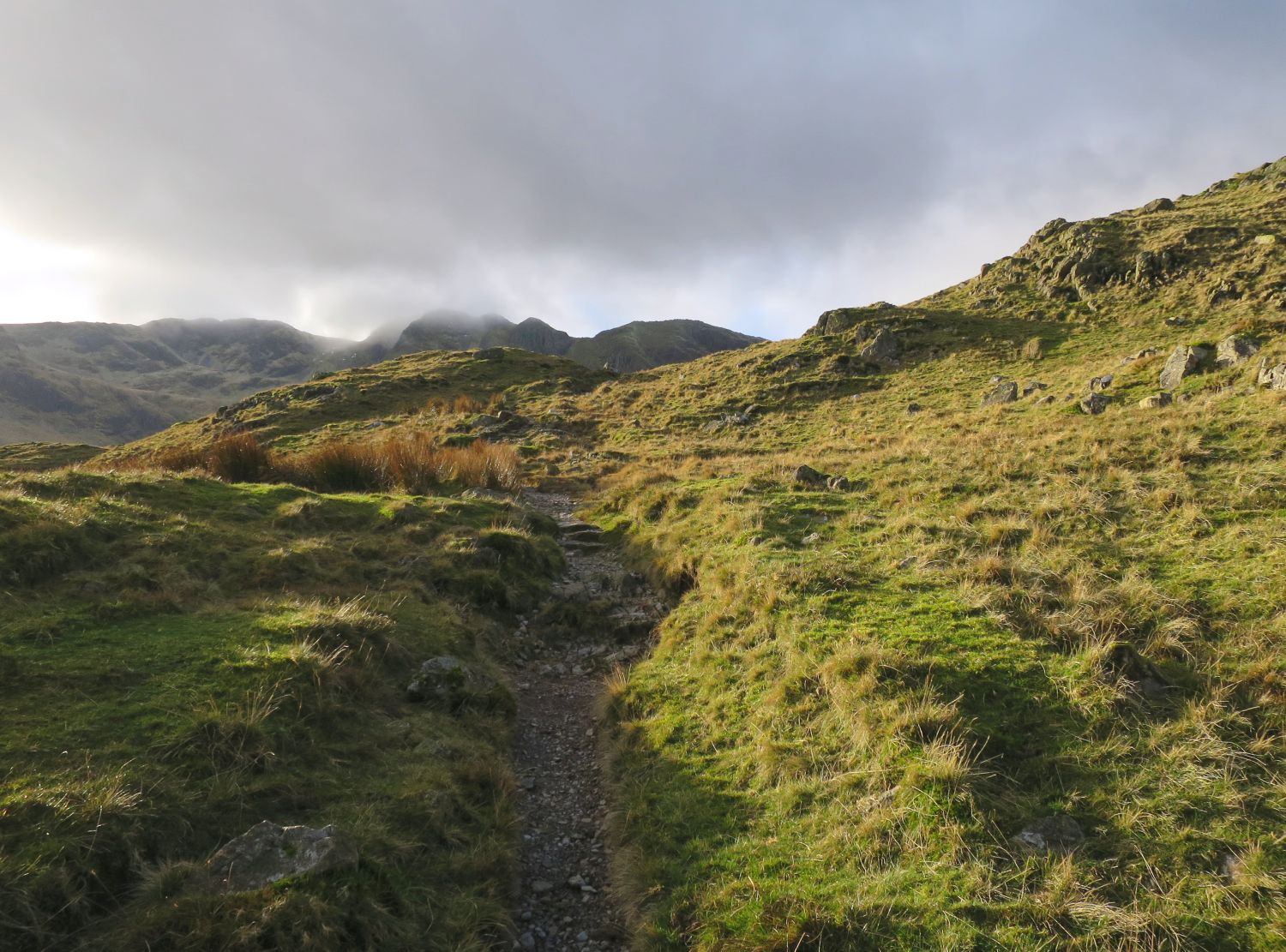
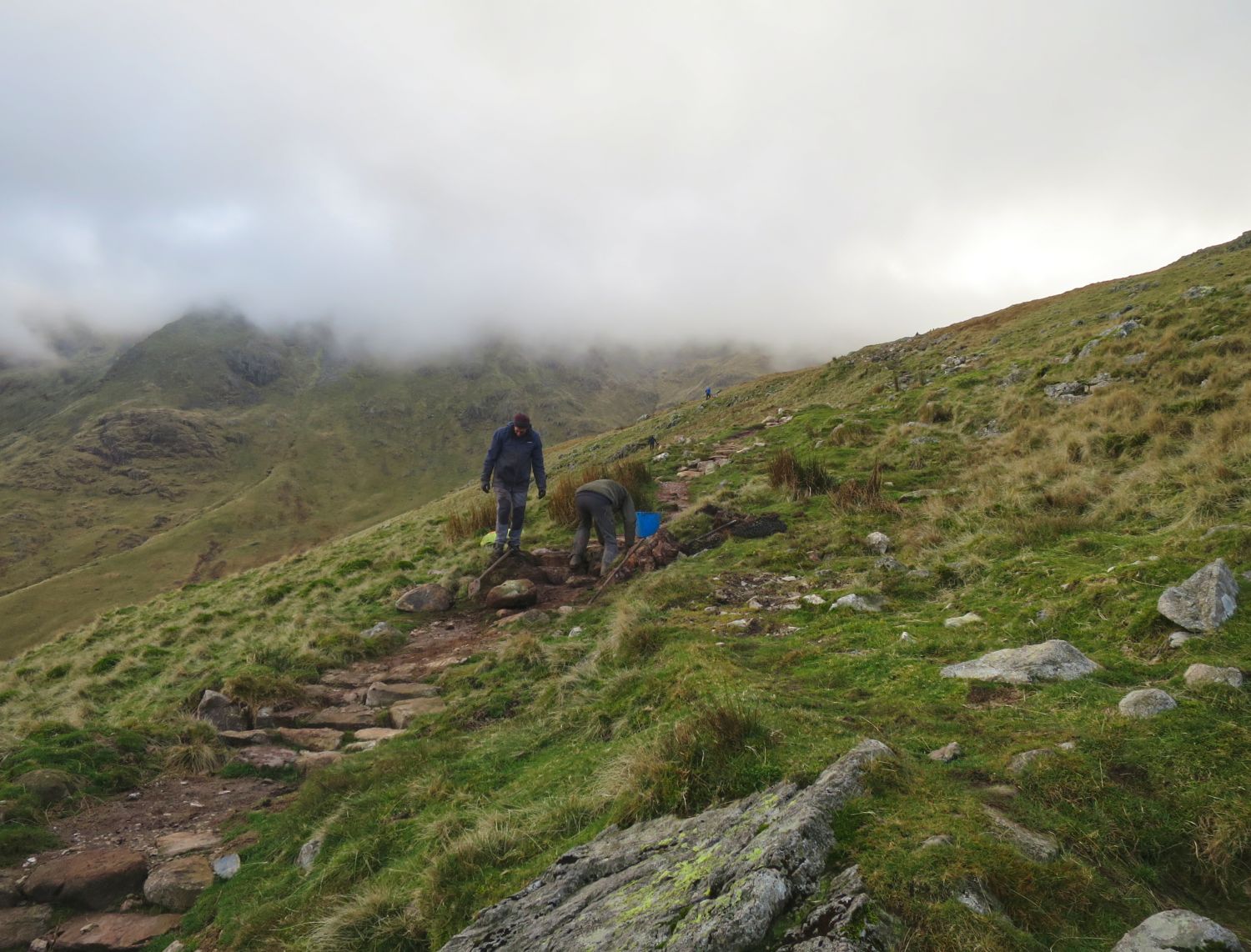
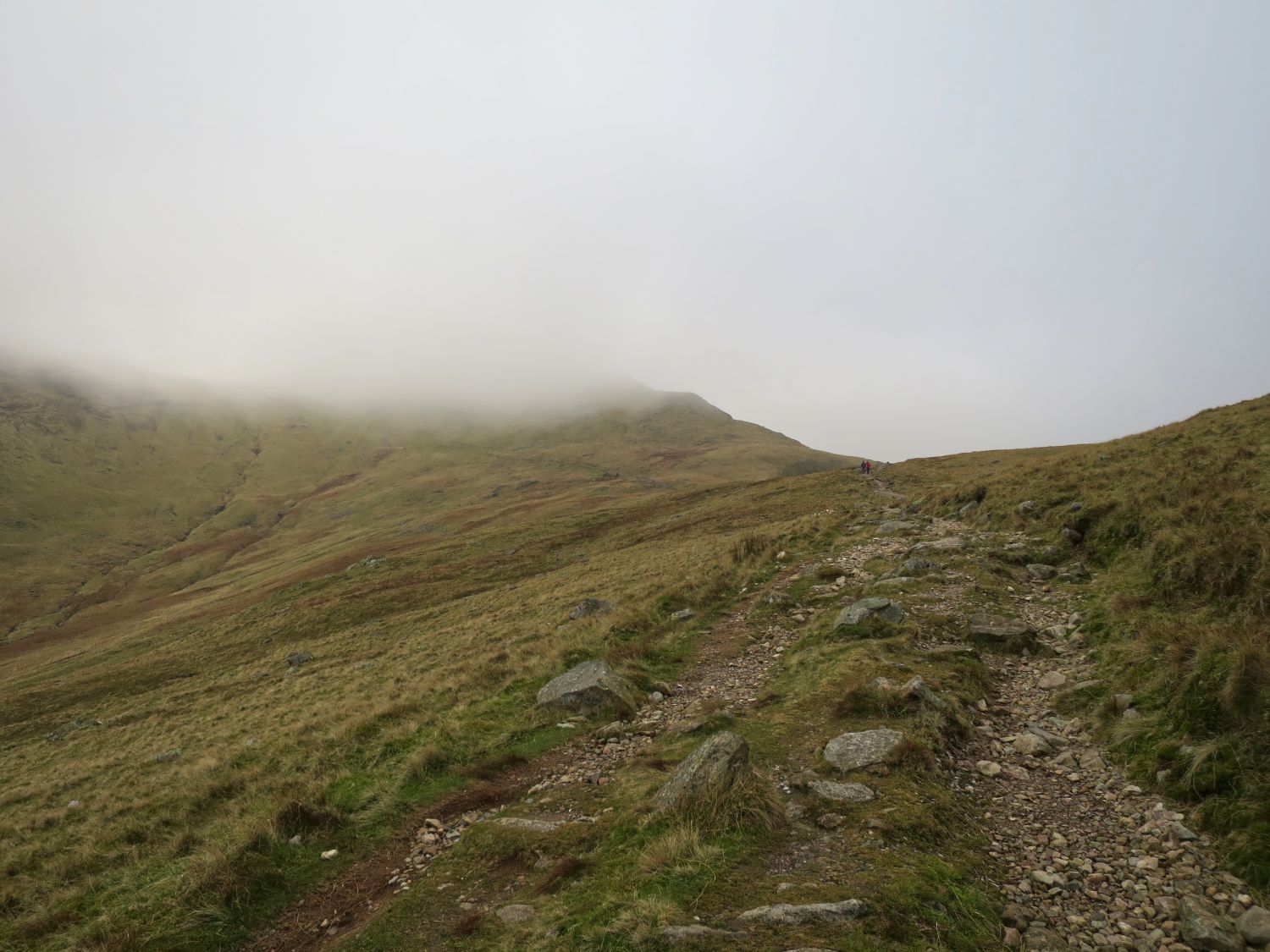
Clouds have now drifted in to spoil the view, but they are forecast to lift in the evening.
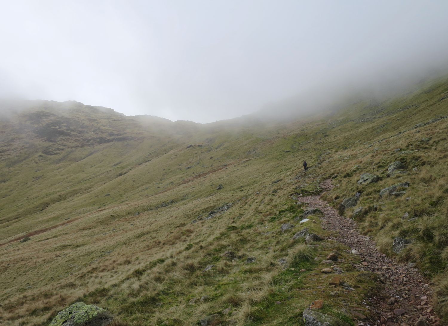
Now that the long ridge of The Band is conquered, our next objective is to reach the col of Three Tarns, where we’ll collect our water for camp.
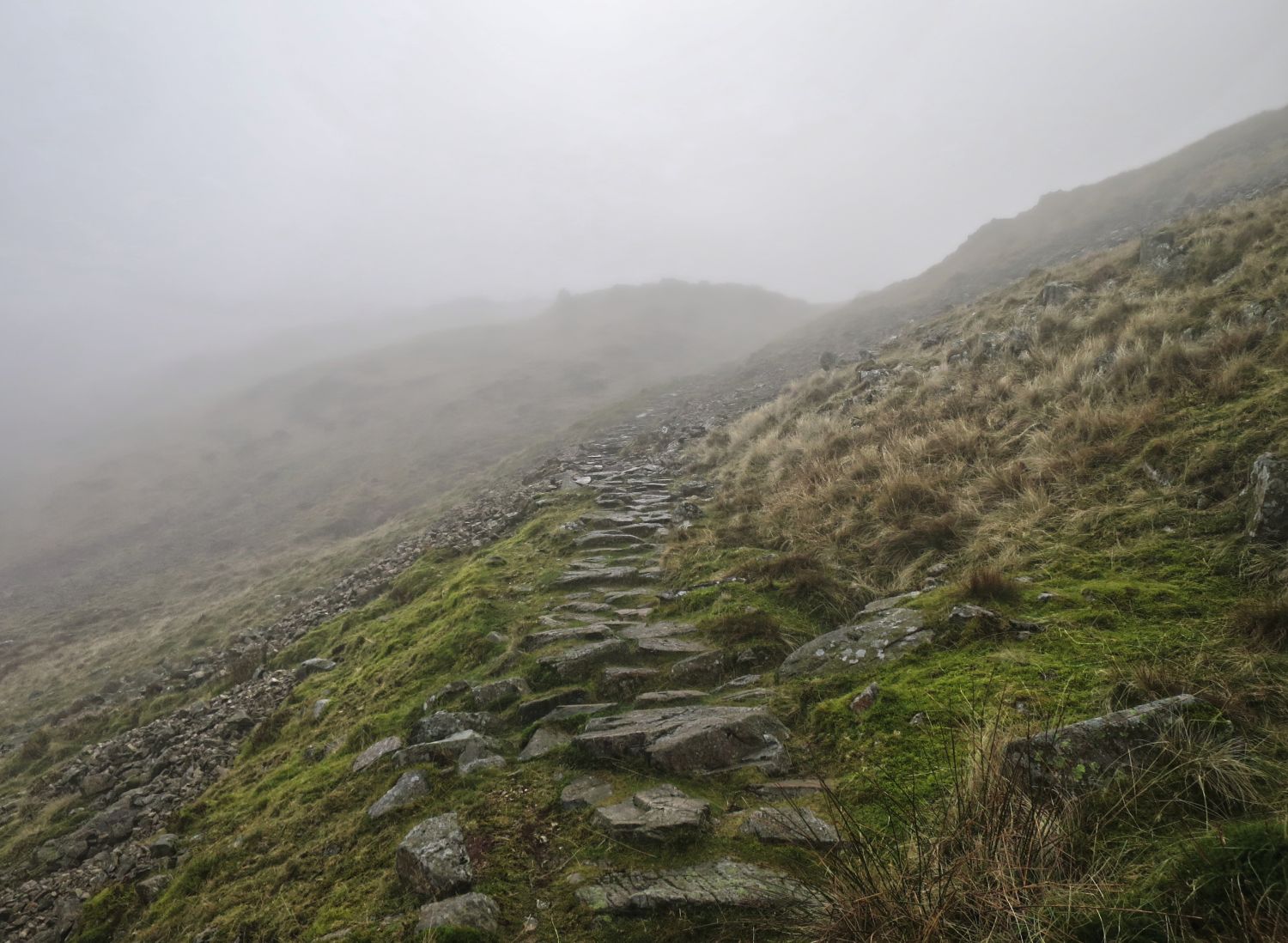
I don’t think I’ve ever experienced my hands getting so cold while collecting water. It’s late November and the temperatures have dropped significantly in the past hour or so, and it will soon be getting dark.
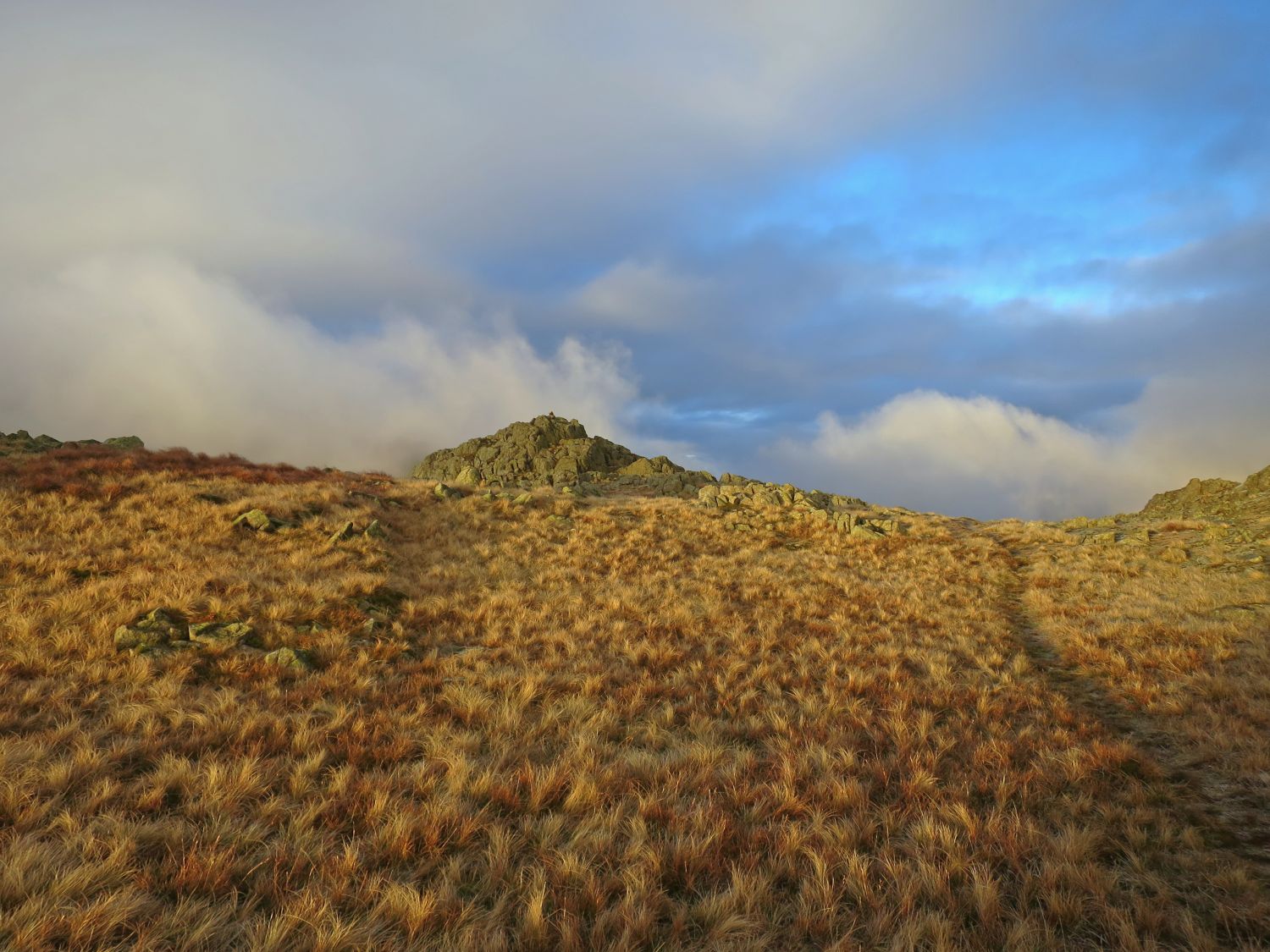
Due to so much mist at Three Tarns, and because it was starting to get late, we didn’t hang around and headed straight for Shelter Crags.
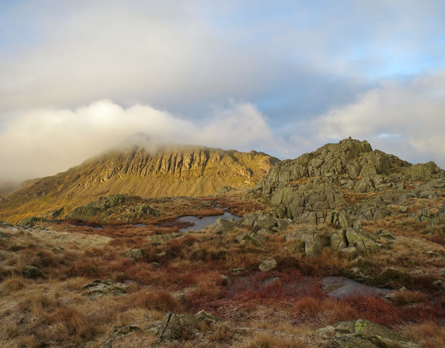
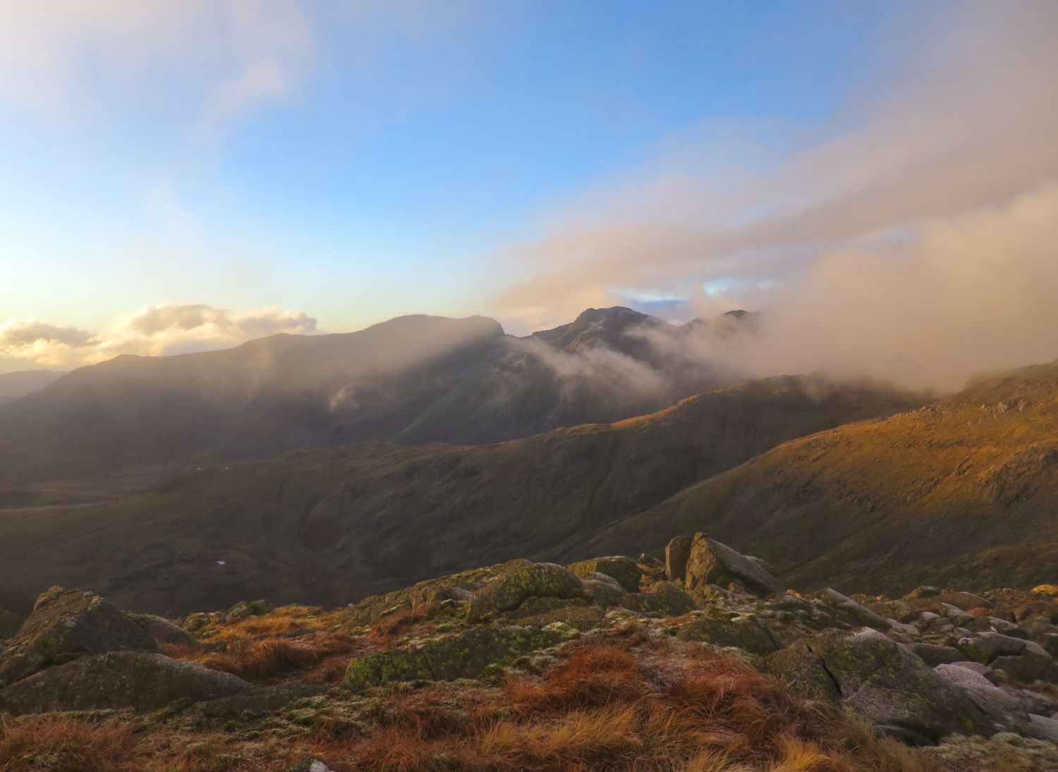
We are now rewarded with some very nice atmospheric scenery, especially over towards the Scafells.
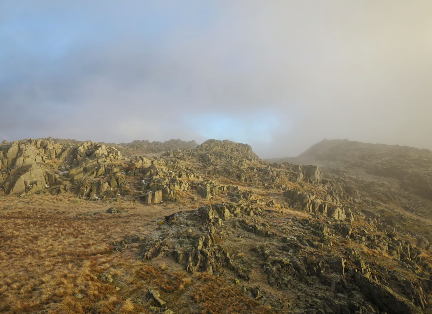
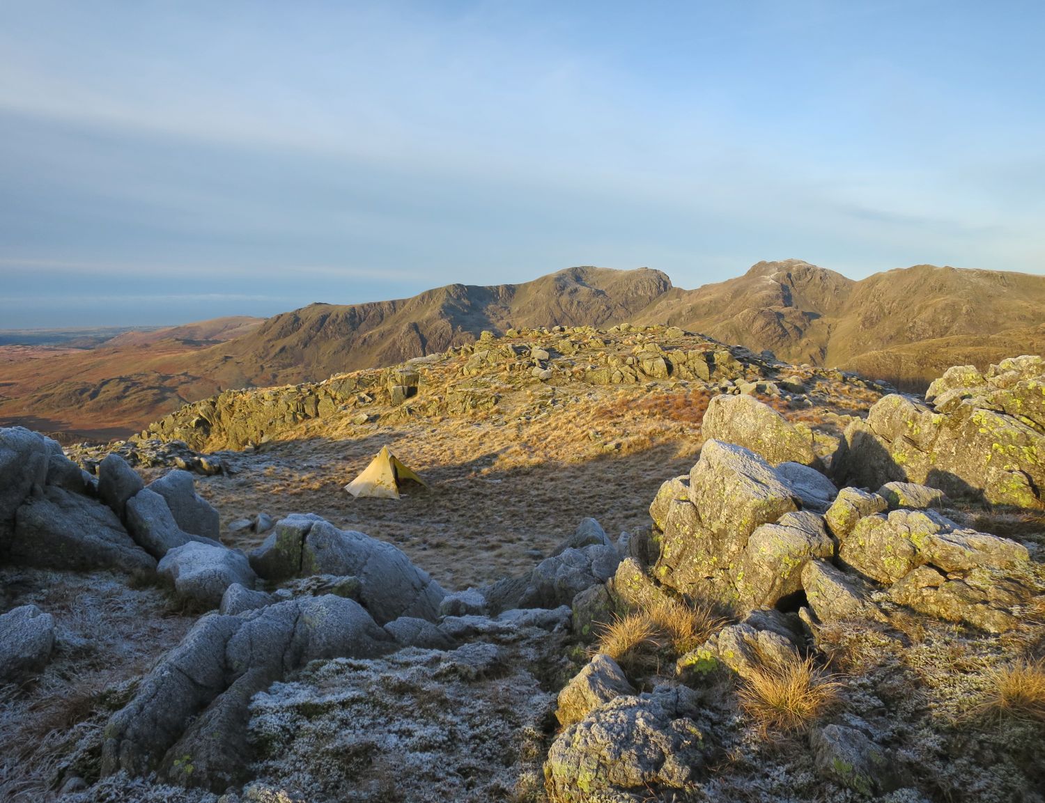
We arrived at Shelter Crags for 3:30pm, and while the weather had brightened up a little, we spent a good 30 minutes looking for a suitable flat spot to pitch. In the end, we chose the area to the left in the photo, protected by the aptly named Shelter Crags — sunset is due at 4:30pm.
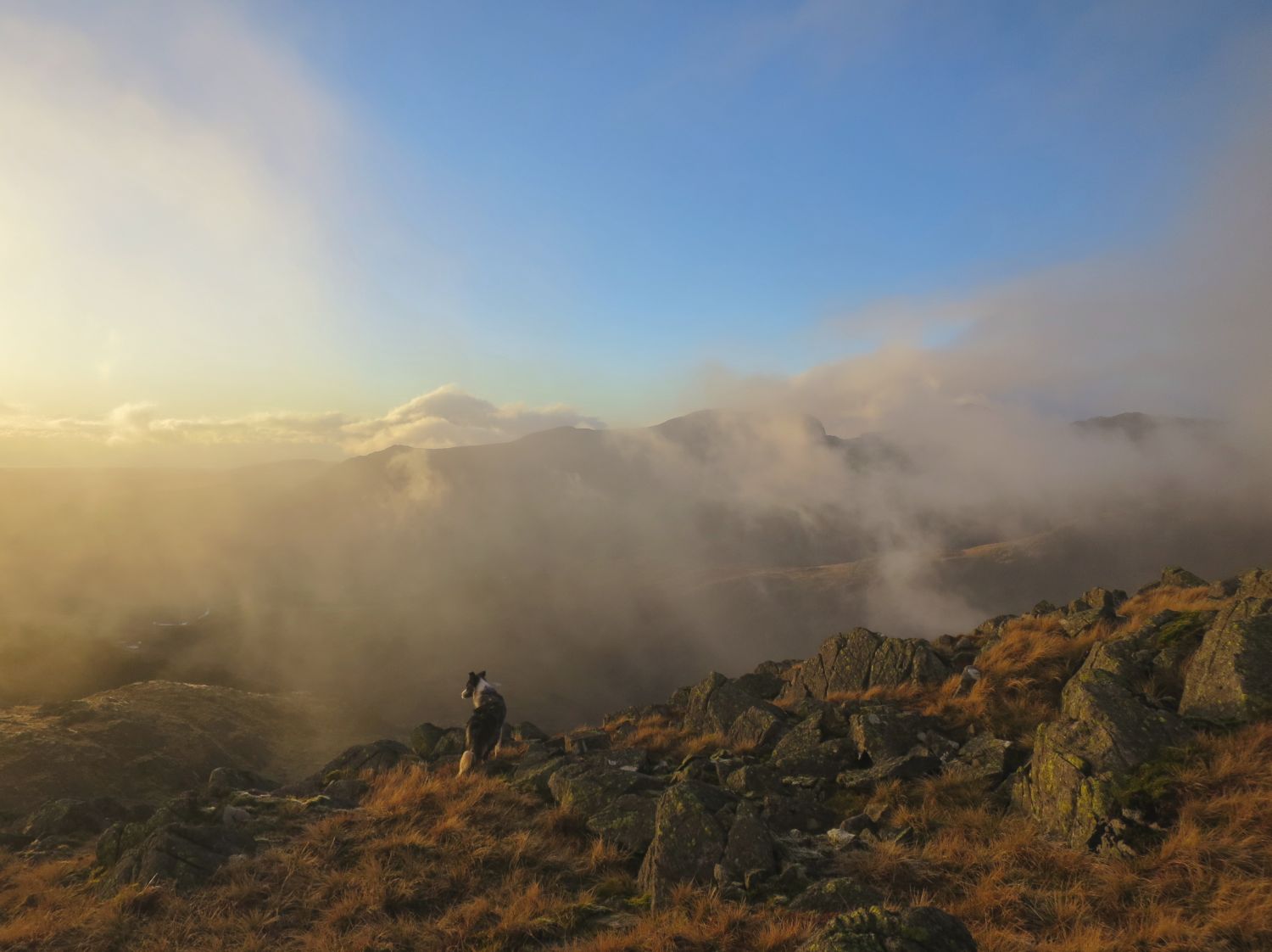
Mist is now rolling back in, so it’s time to get the tent up and make dinner.
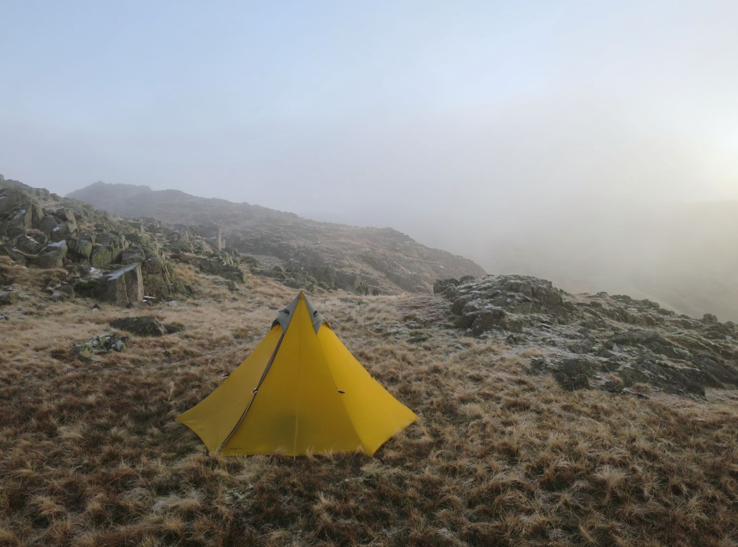
Sadly there’s no sunset to witness, so it’s time to get settled for the evening. It will be many hours before we get moving again — probably around 15 hours!
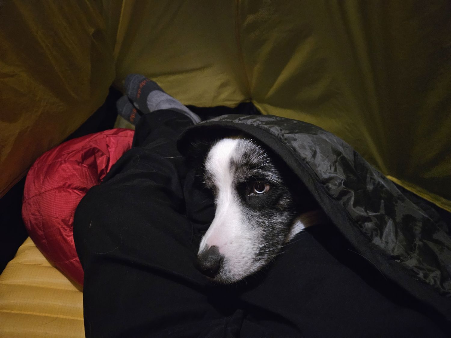
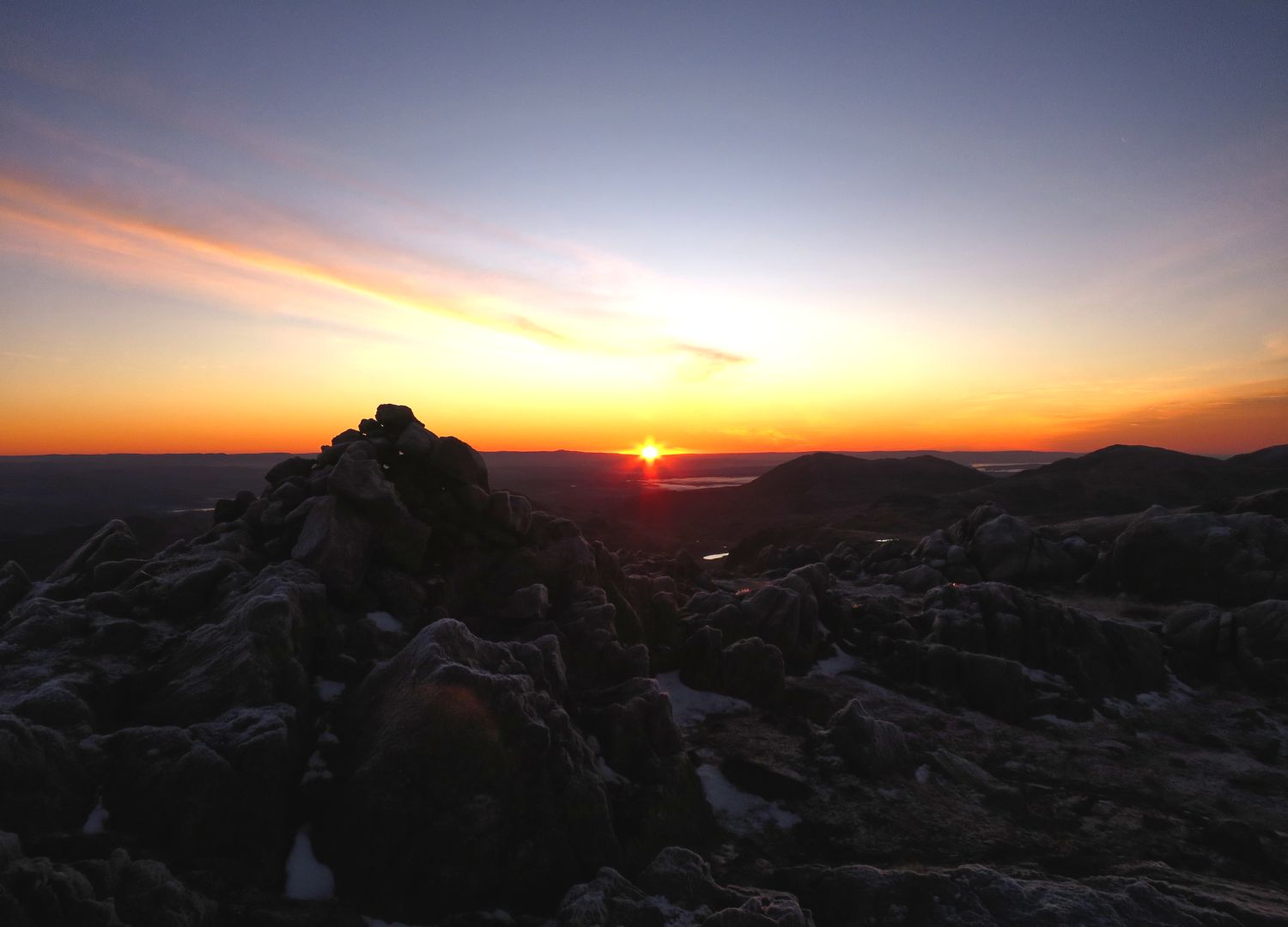
It is 8am, and what a lovely welcome before breakfast.
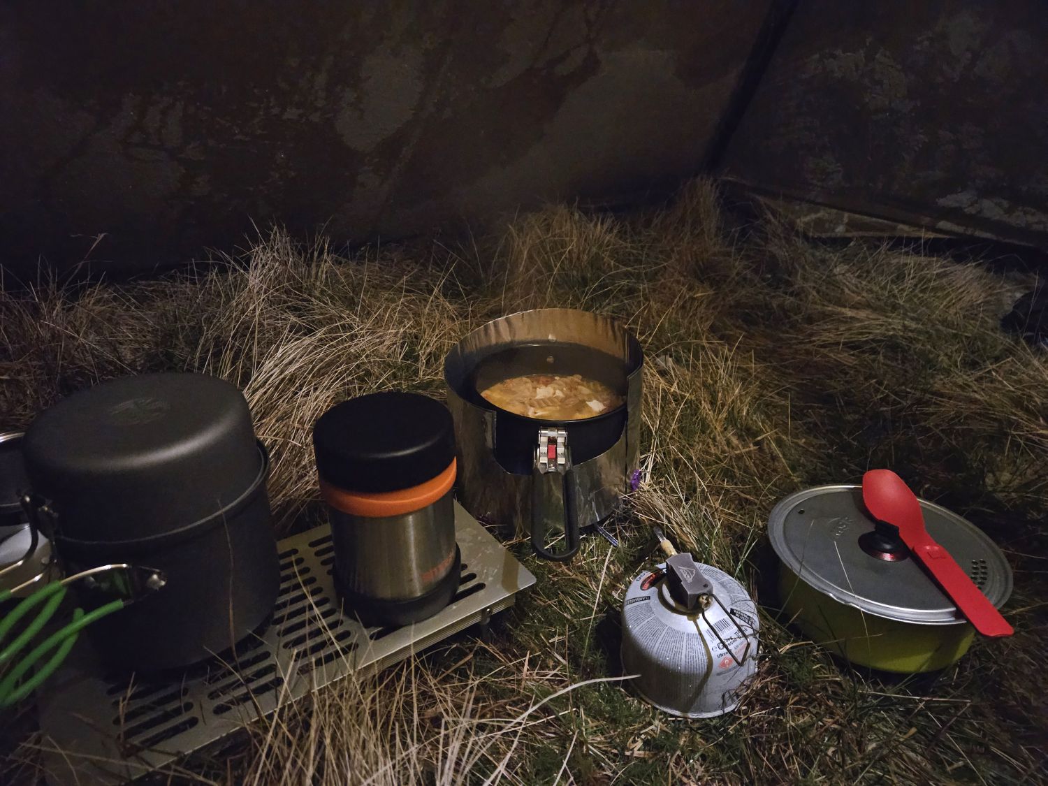
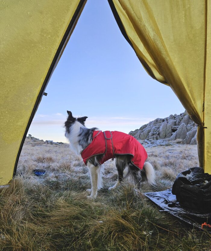
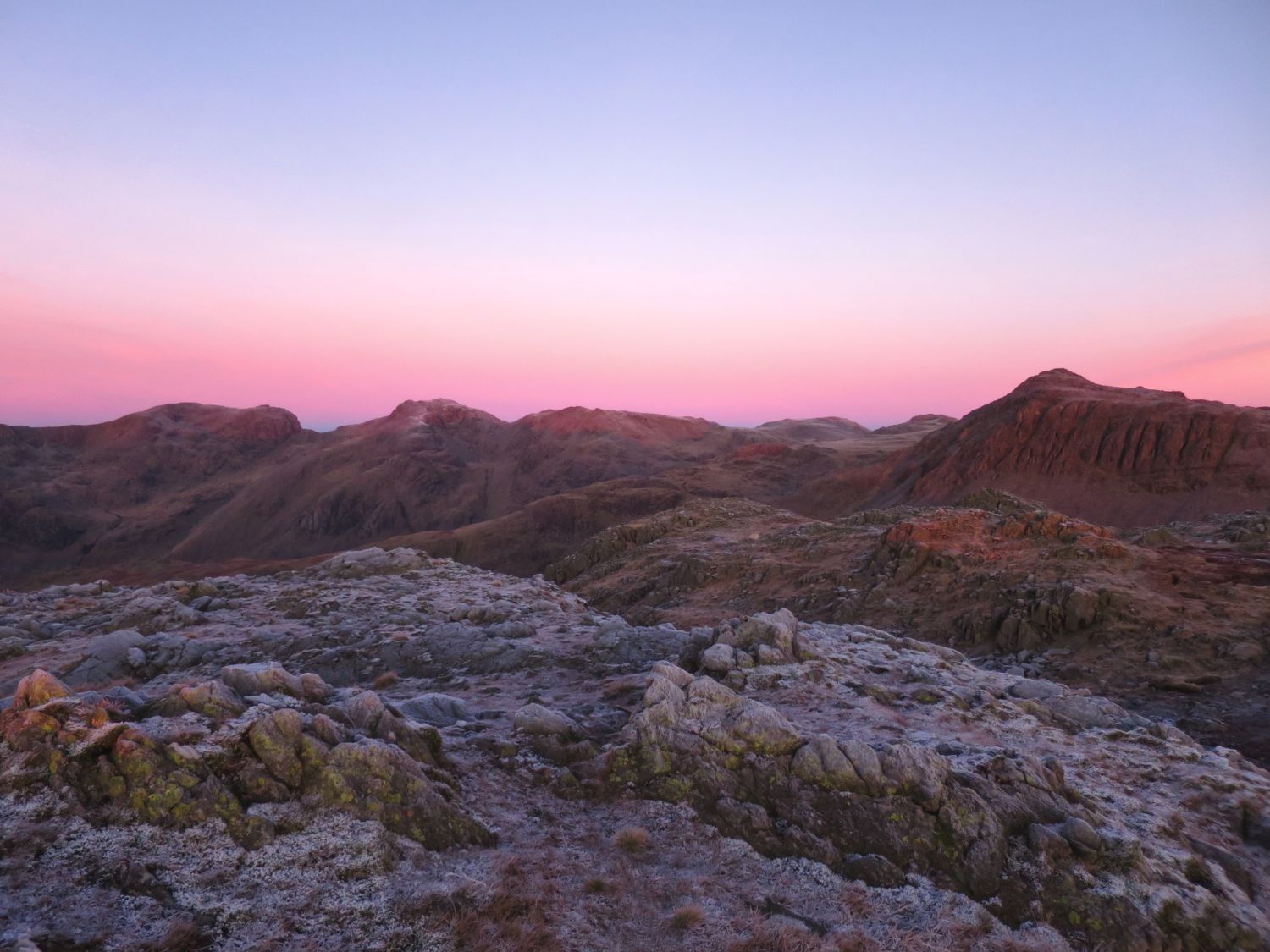
The next three photos show the brief moment of alpine glow from some of the outcrops on Shelter Crags:
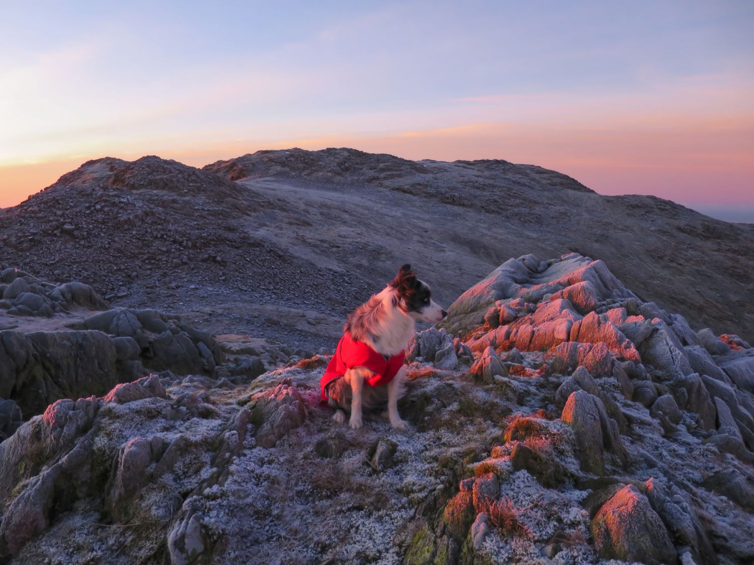
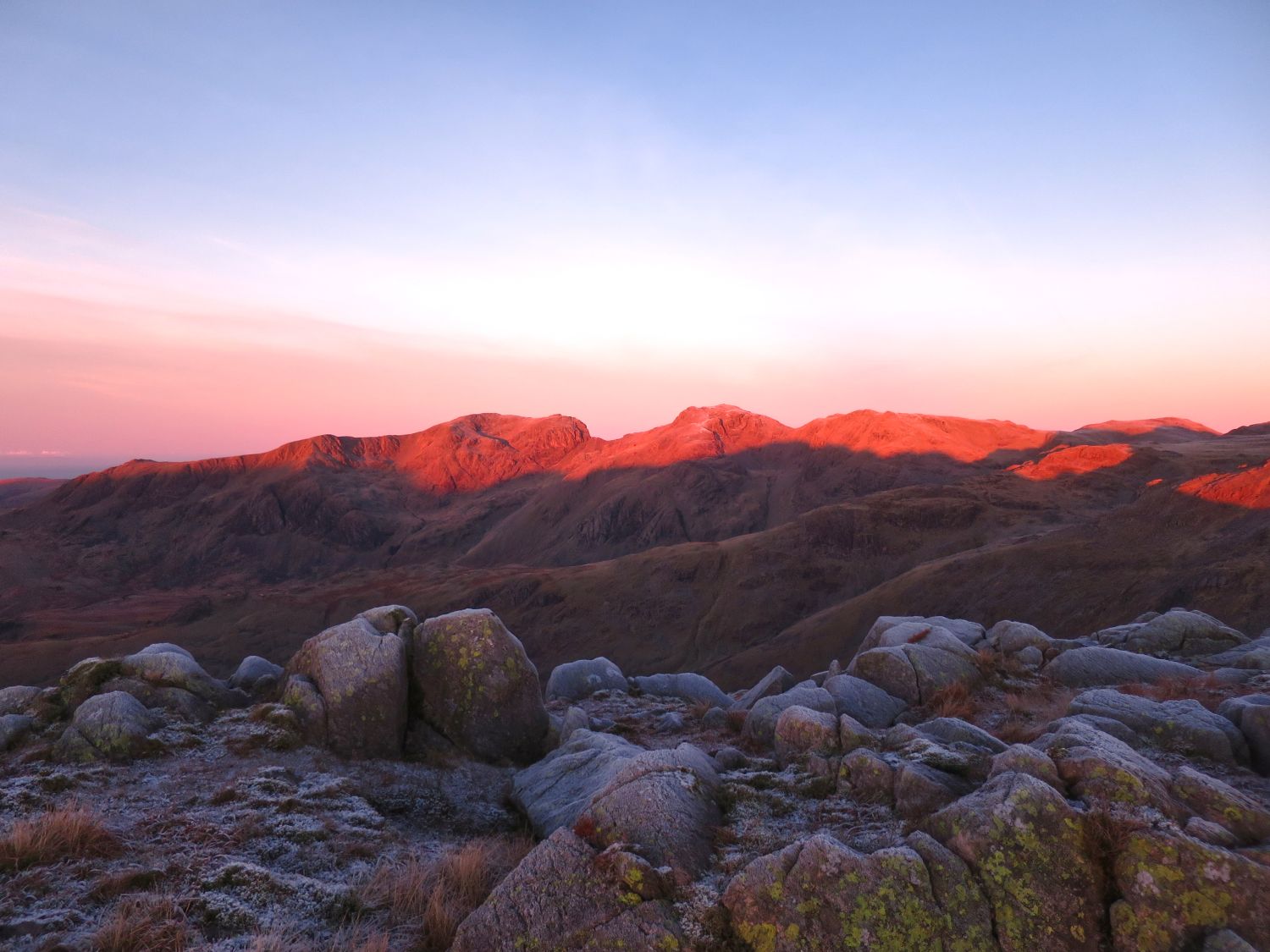
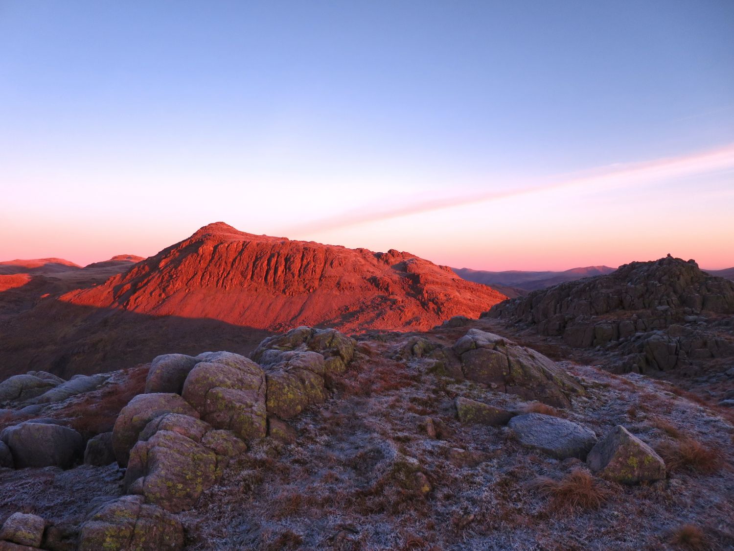
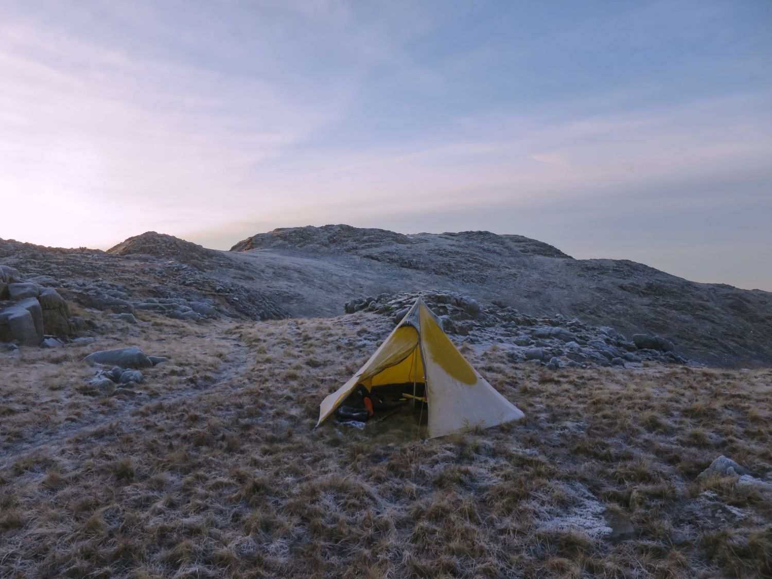
The sun hasn’t risen high enough yet to defrost the tent, so we’ll hang about a bit until the area warms up. It is still only 8:45am, but I want to get away before any walkers arrive on the ridge.
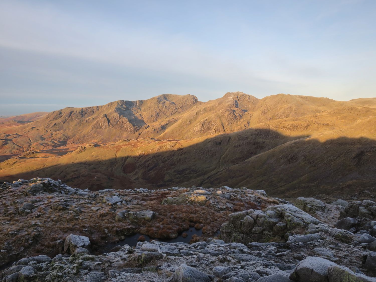
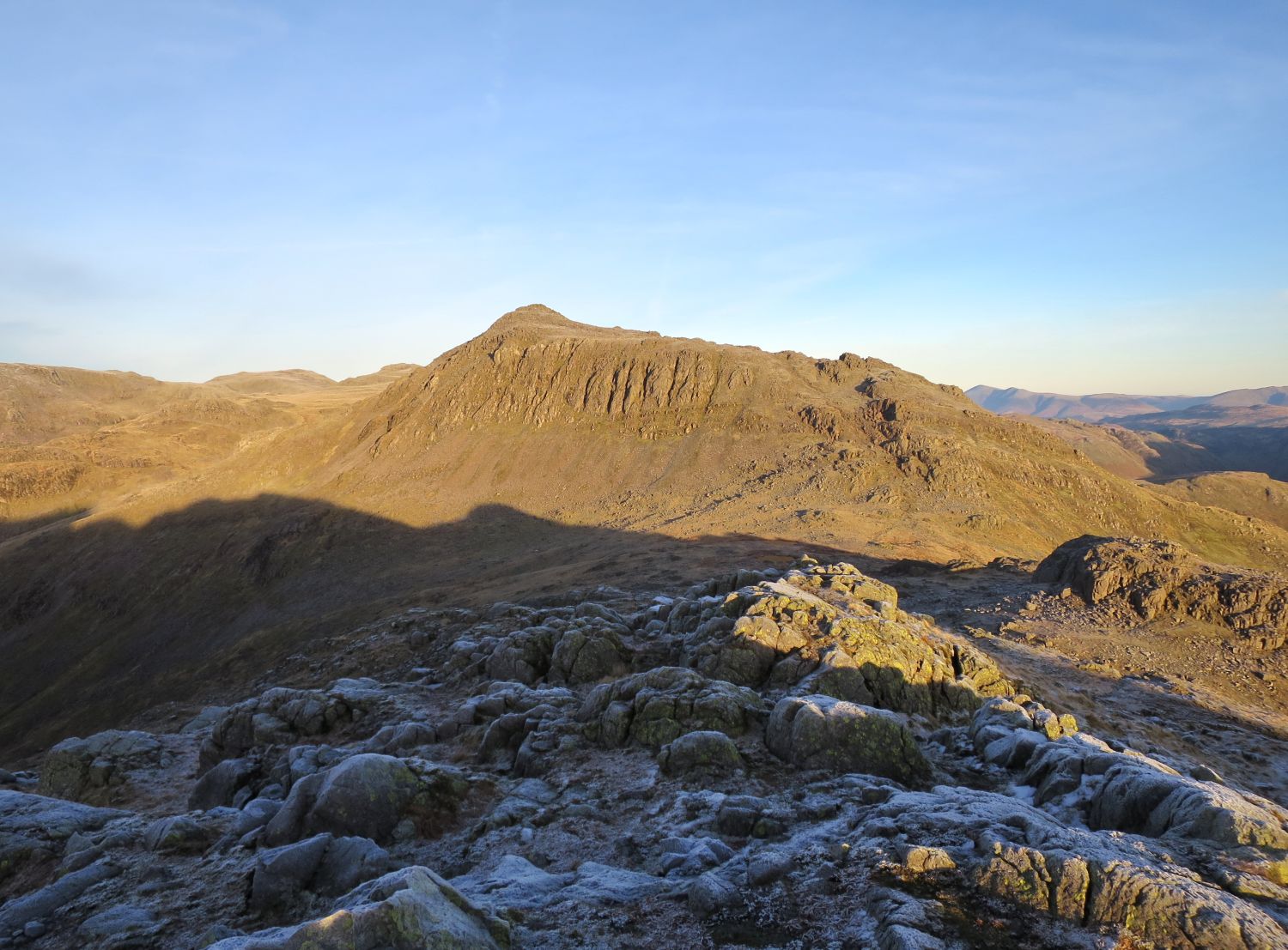
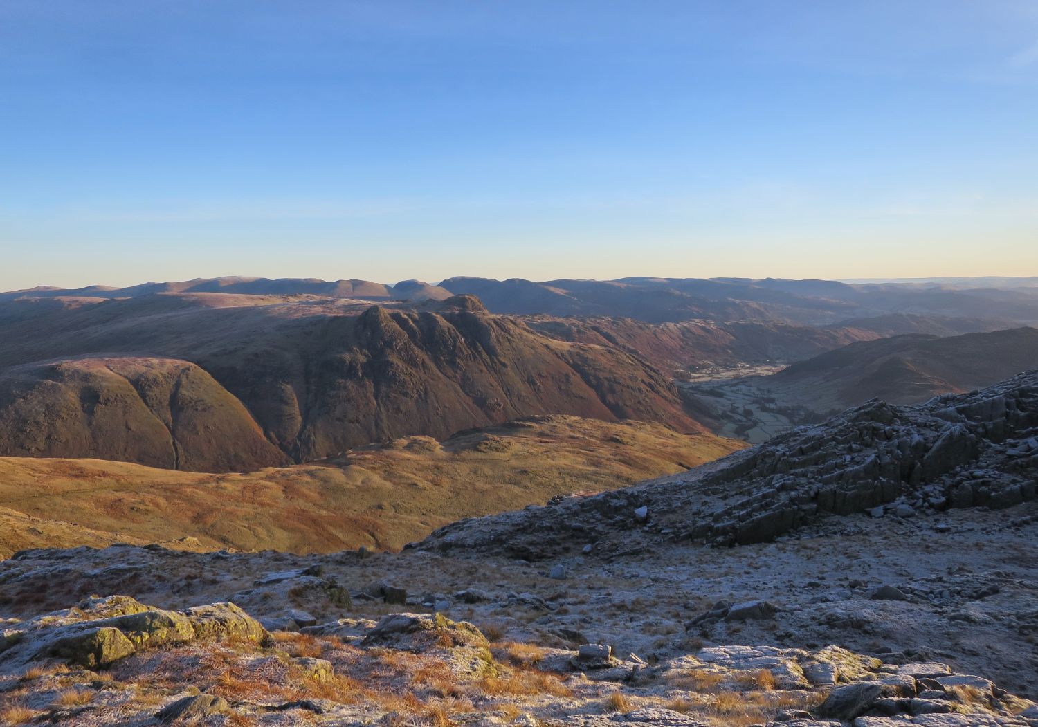
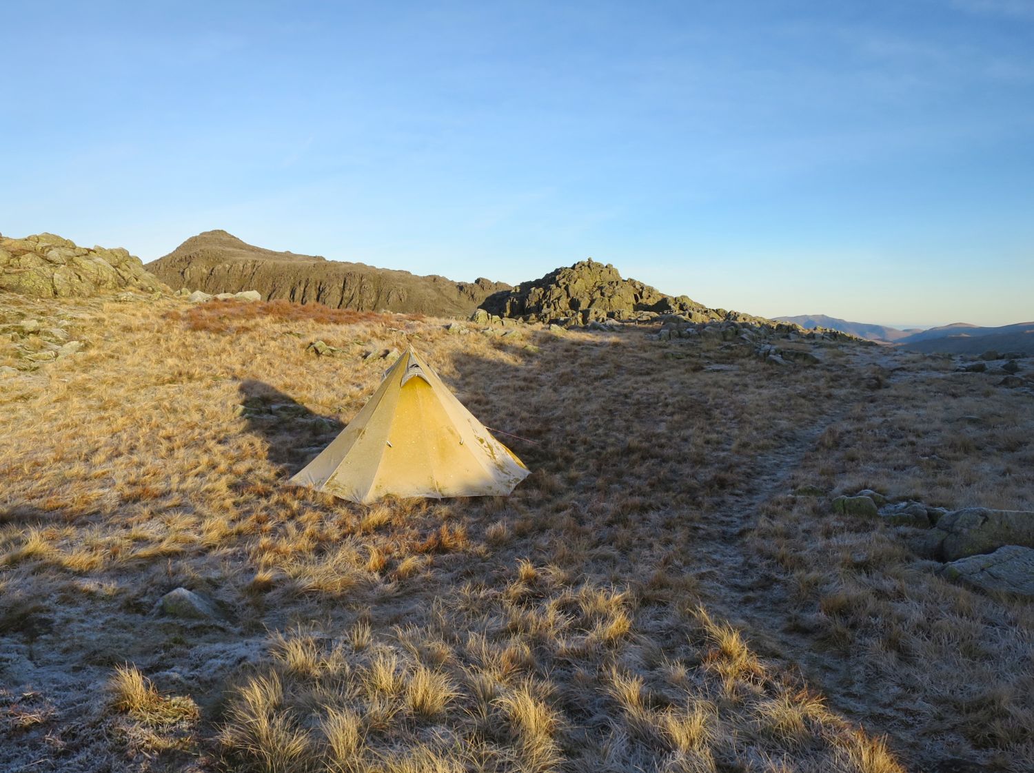
The tent is taking far too long to defrost. It’s now 9:20am, so I’d best pack up and get moving.
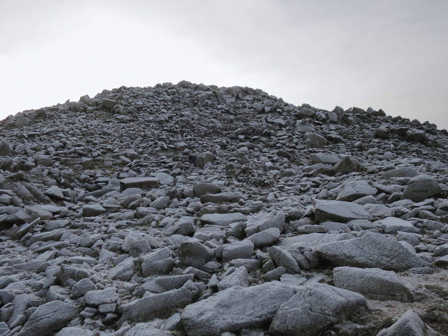
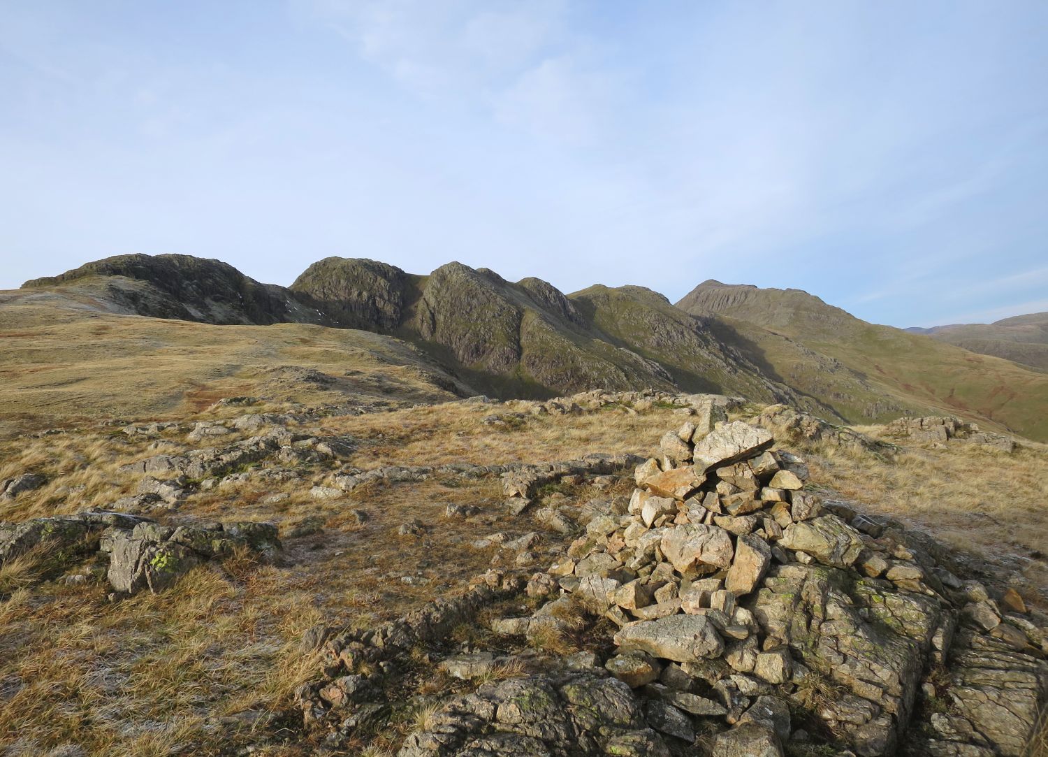
The following tops are named as Alfred Wainwright illustrated them in his Ridge Plan on page 13 of Crinkle Crags, intended for use when traversing the ridge from north to south.
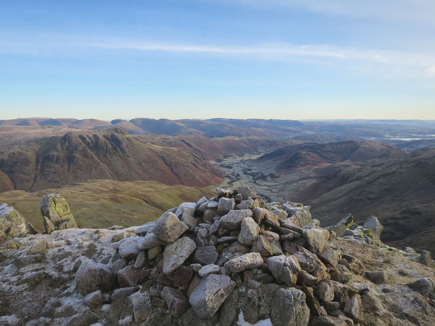
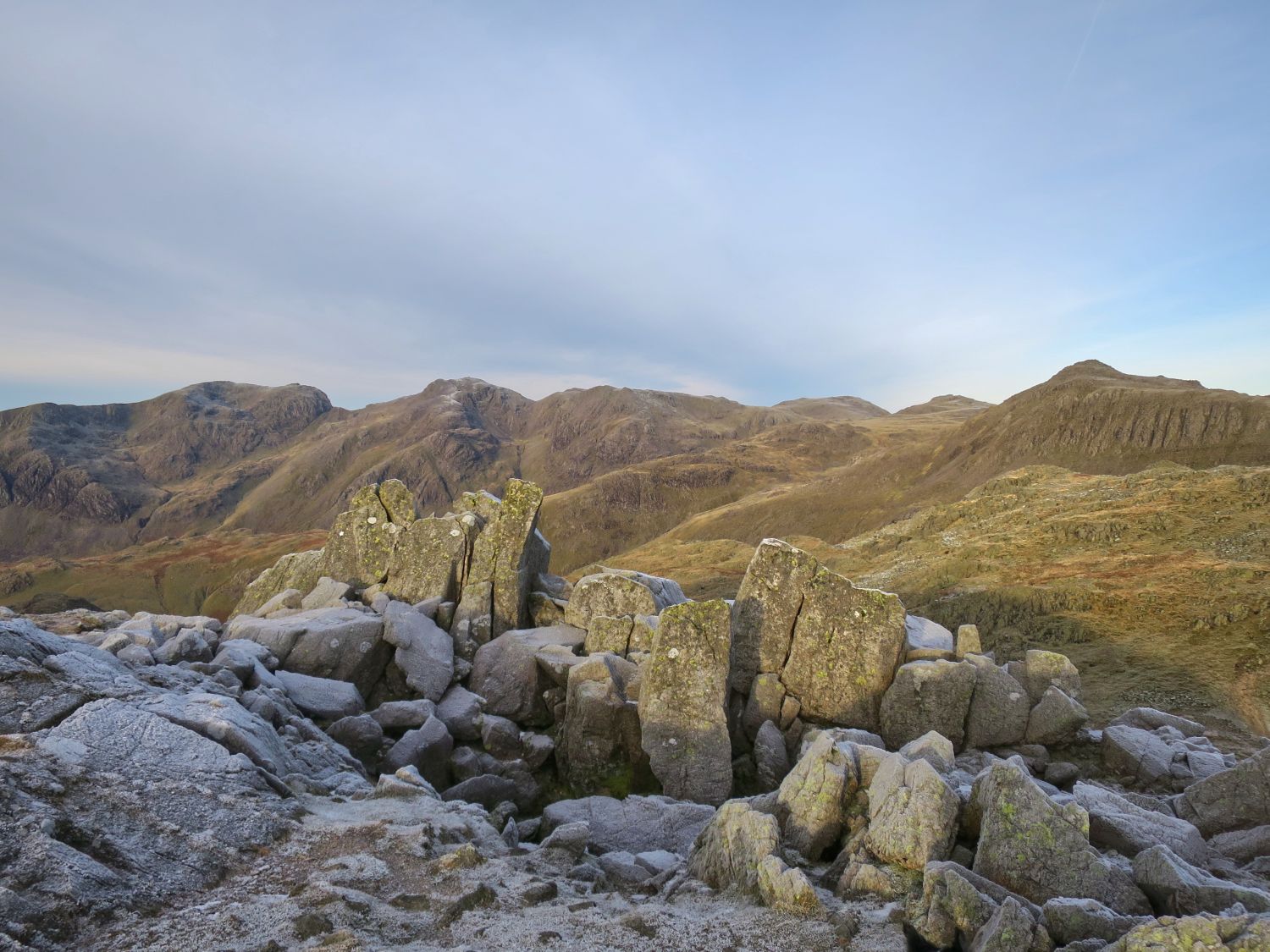
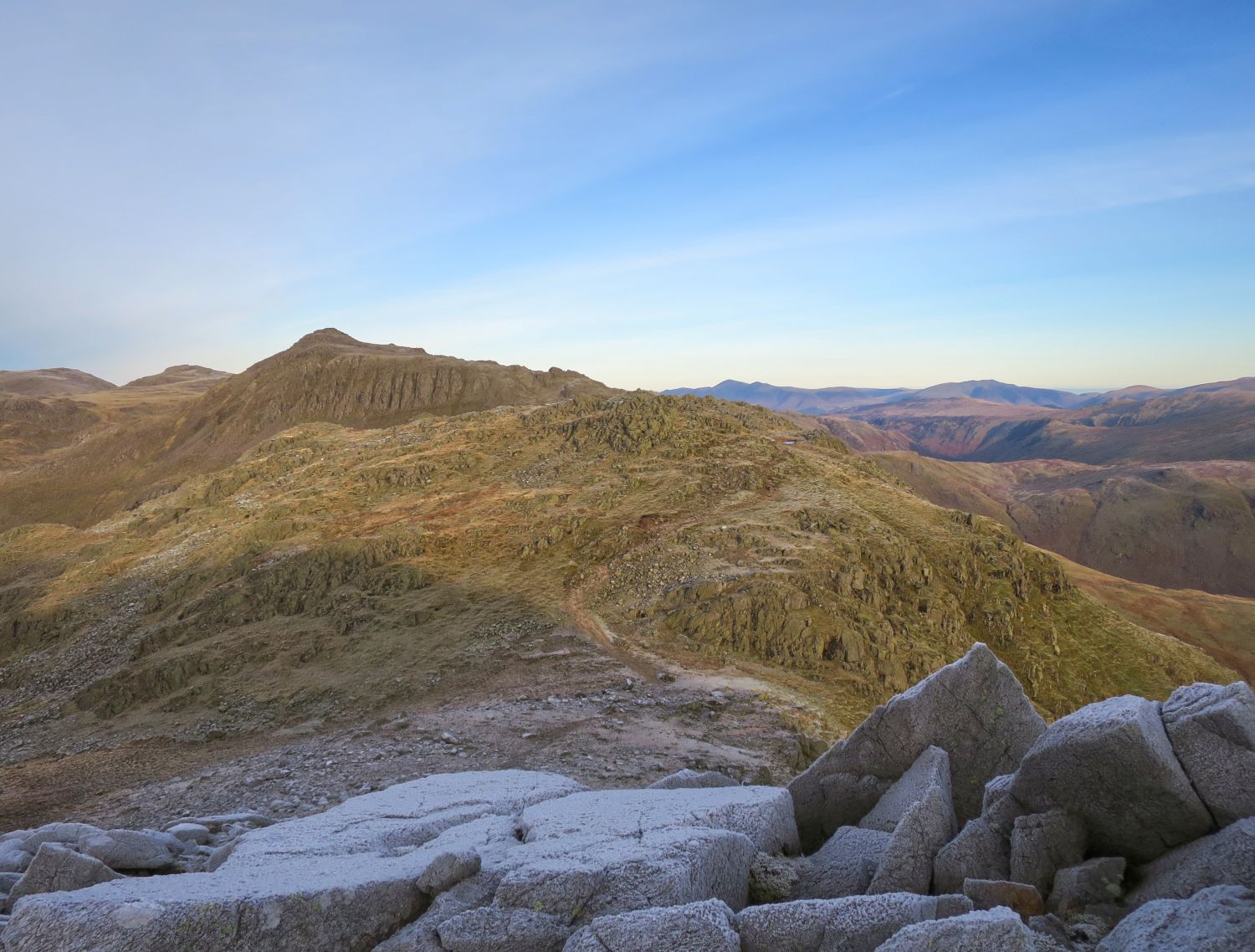
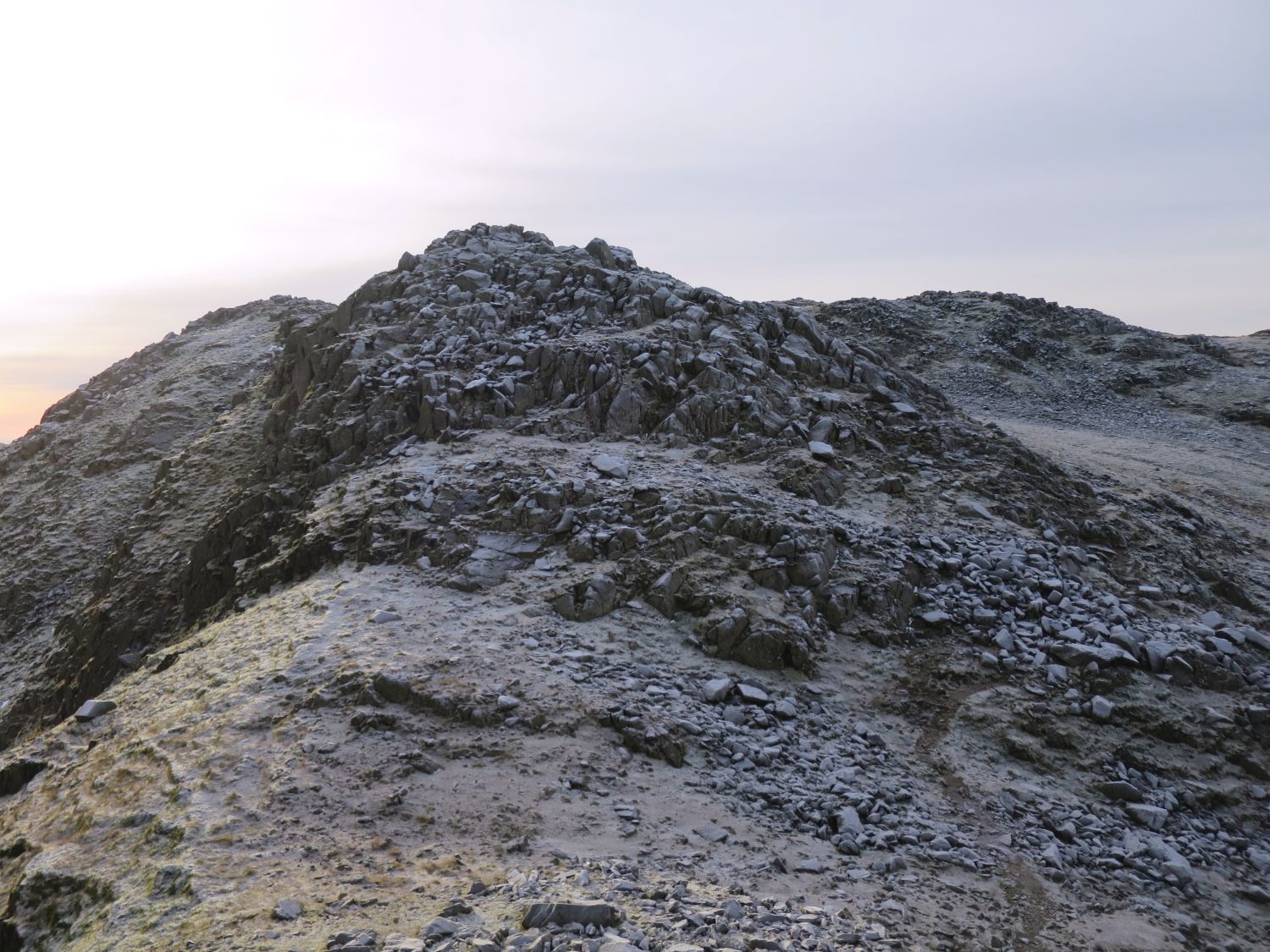
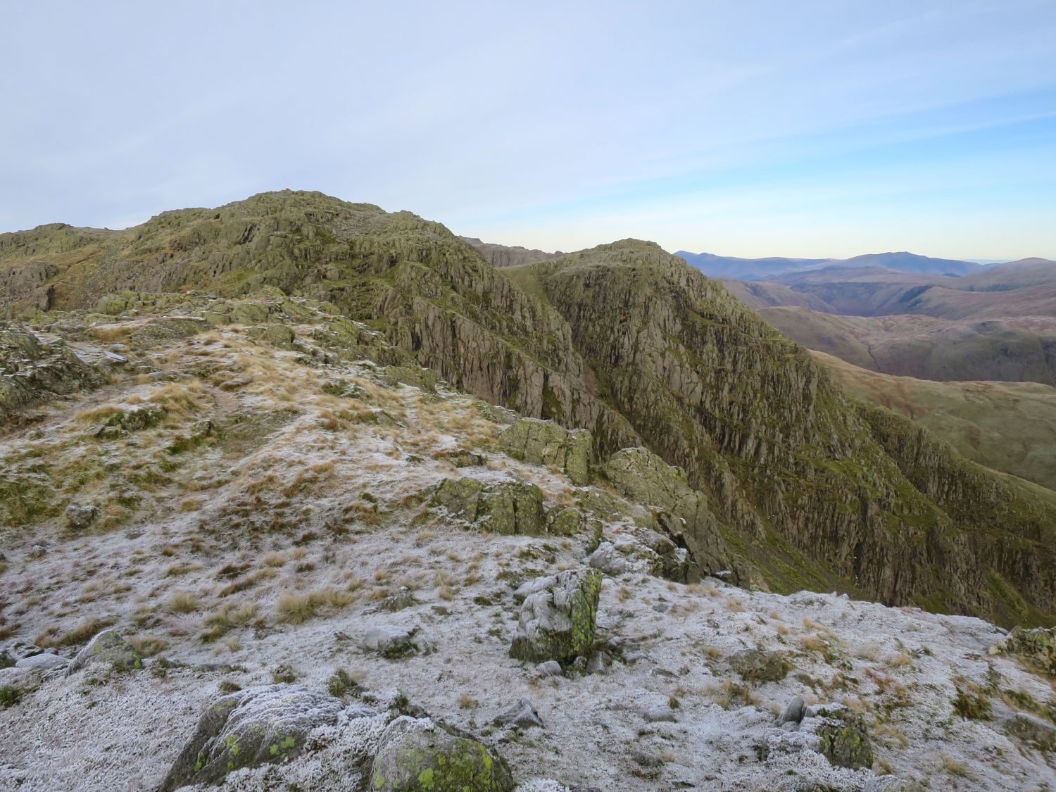
From this viewpoint, behind the second Crinkle, you can see the third Crinkle on the left, and the fourth on the right.
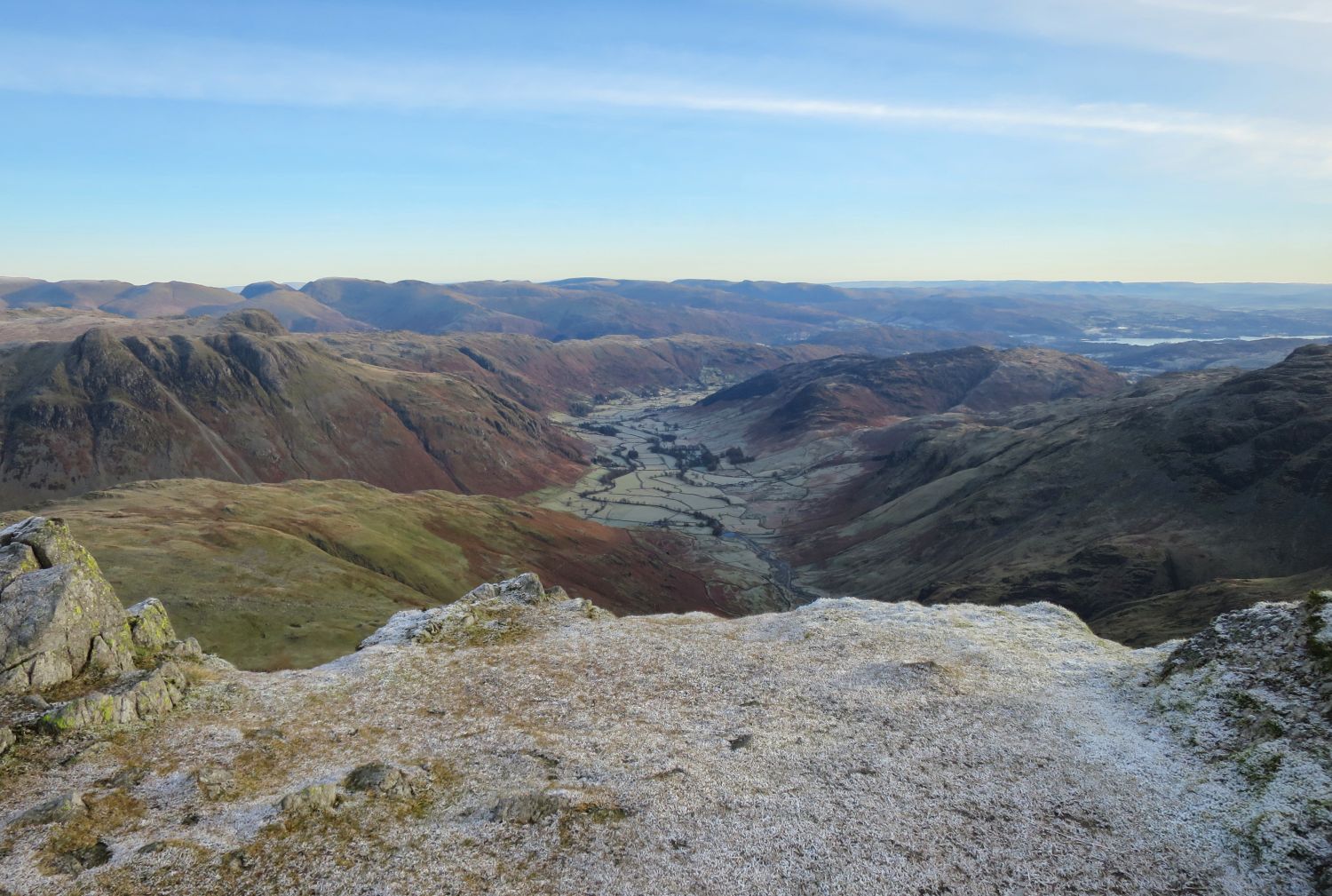
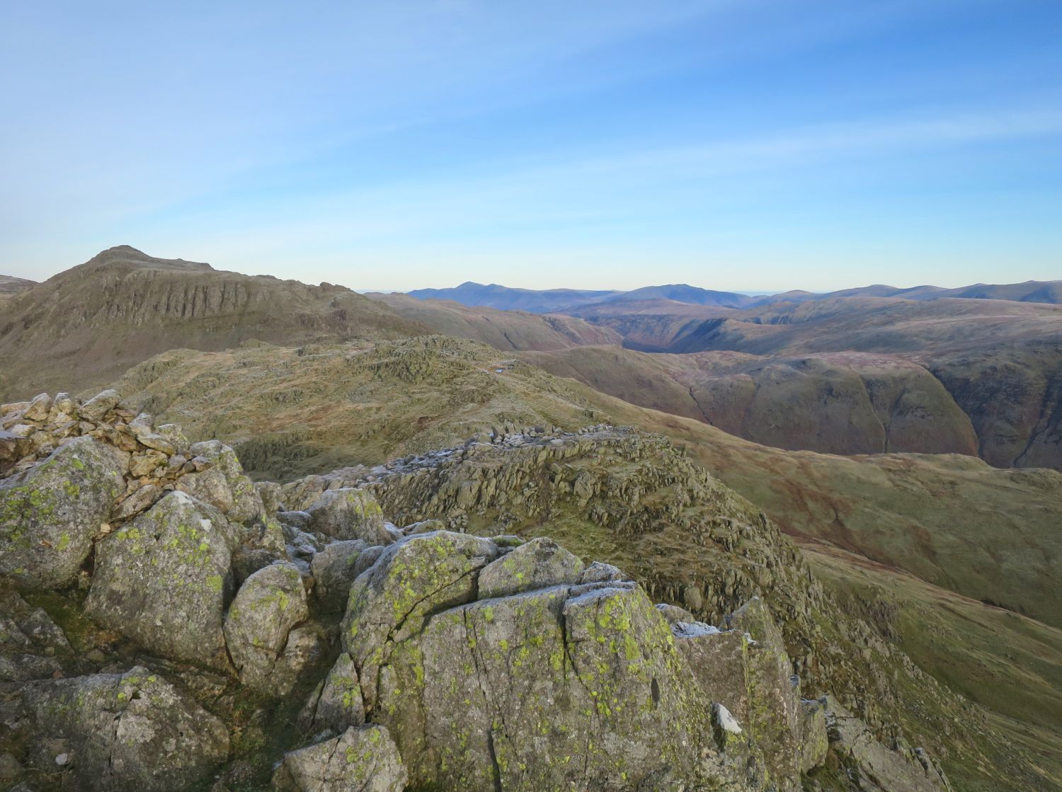
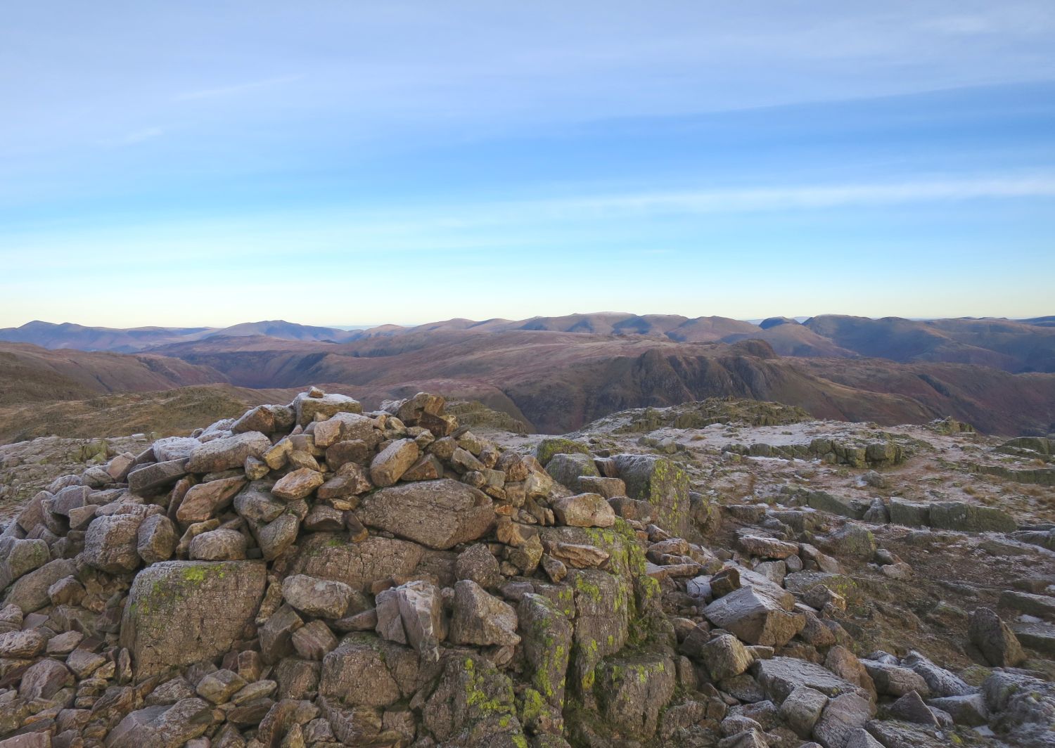
From this view we have Bowfell, Shelter Crags and the first Crinkle (Gunson Knott).
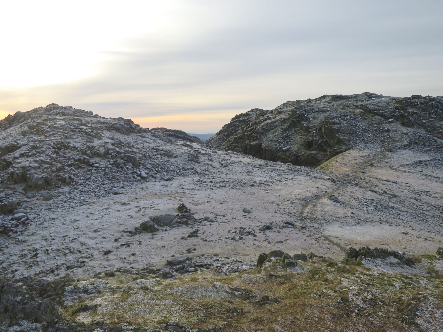
The following two Crinkles are only a short distance away. Mickle Door and its narrow col separate the two summits.
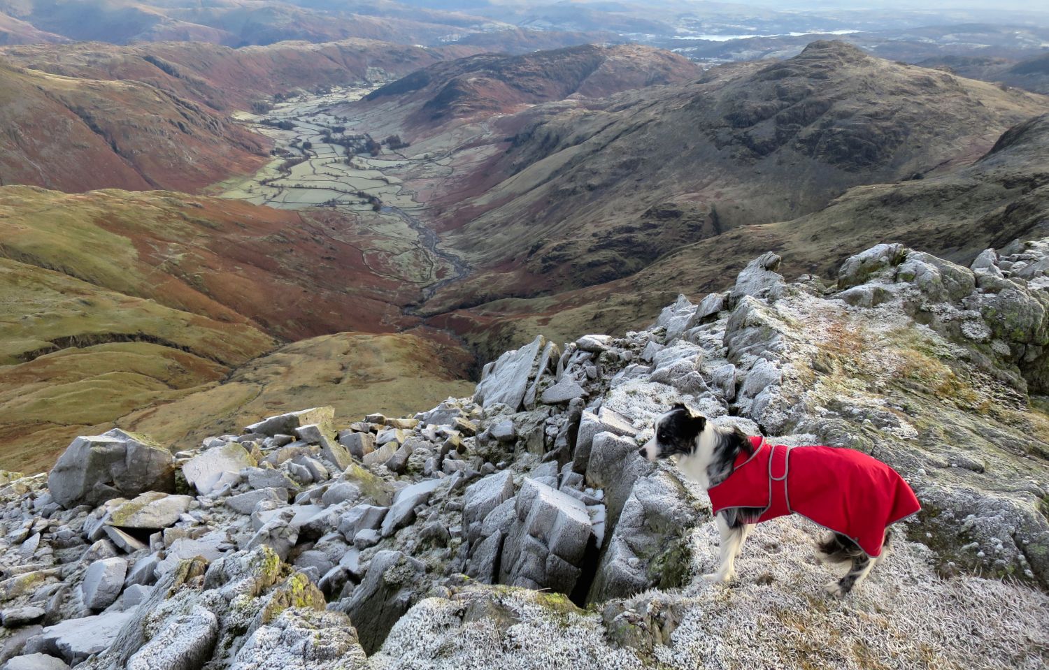
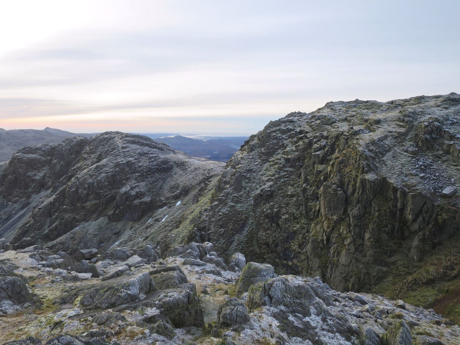
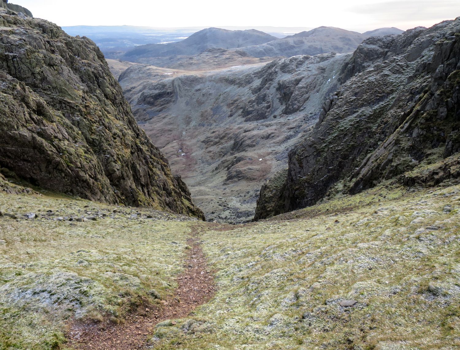
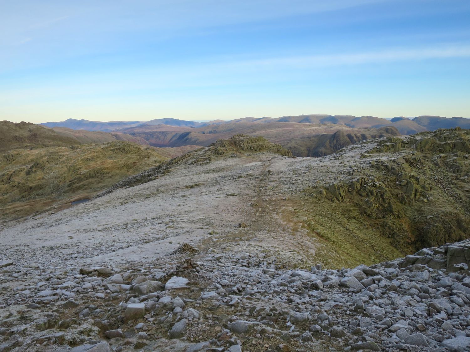
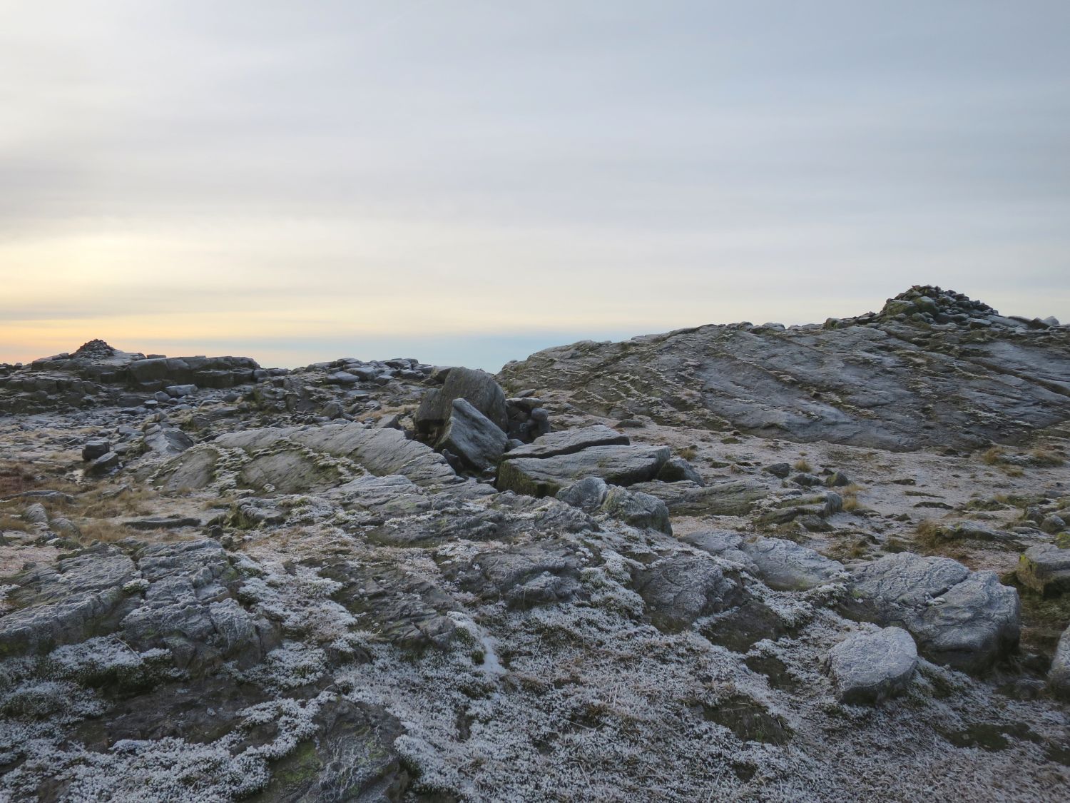
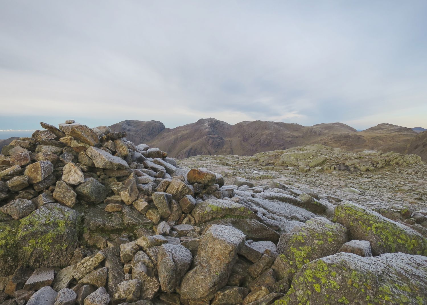
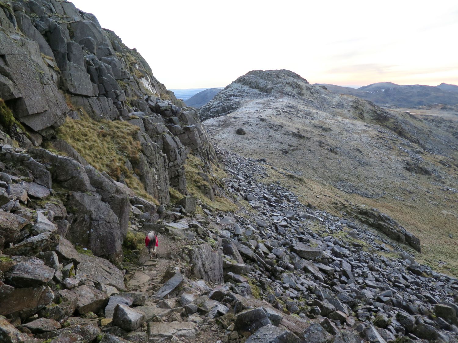
This traverse around the base of the fourth Crinkle avoids the ‘Bad Step’.
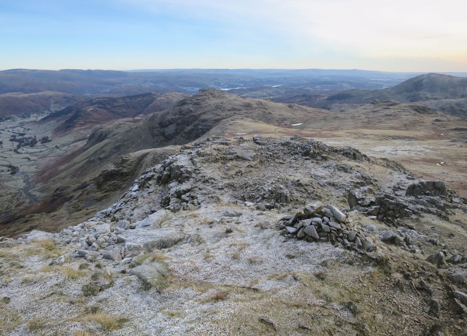
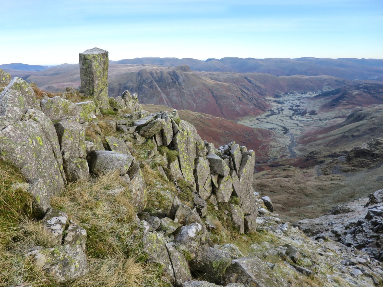
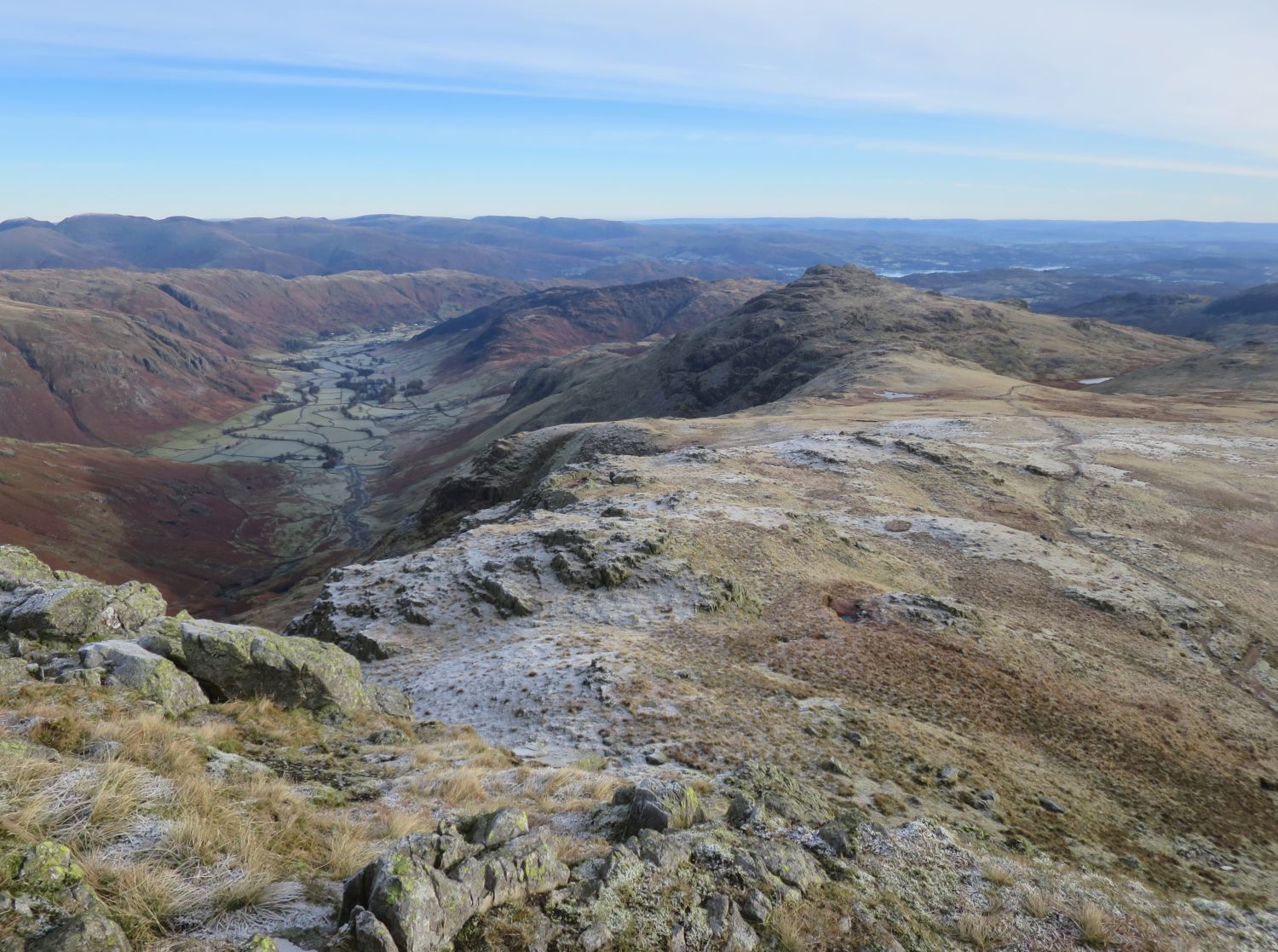
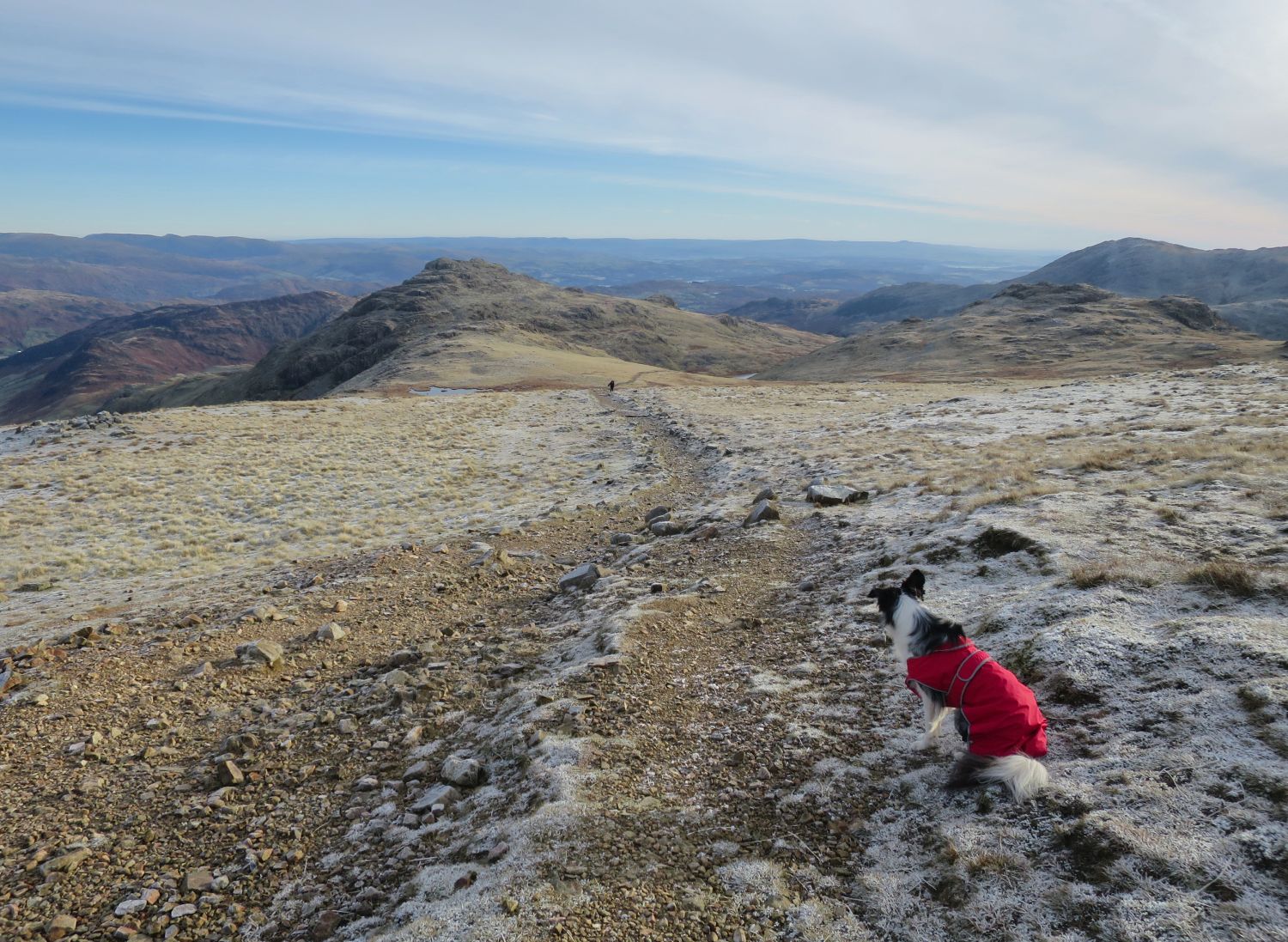
Tika spots the first human we’ve seen since 2pm yesterday.
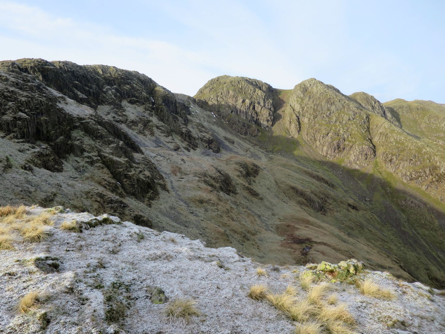
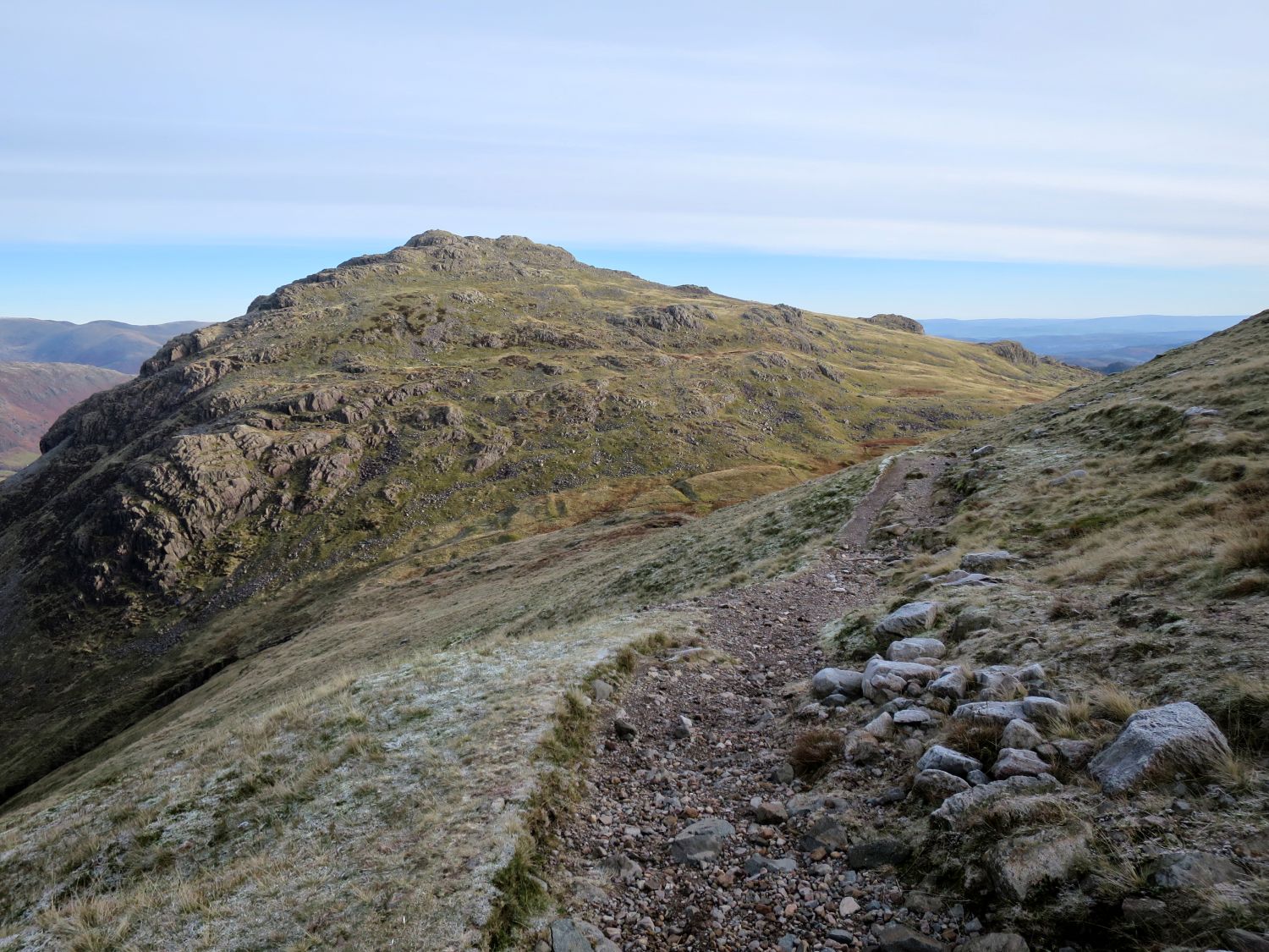
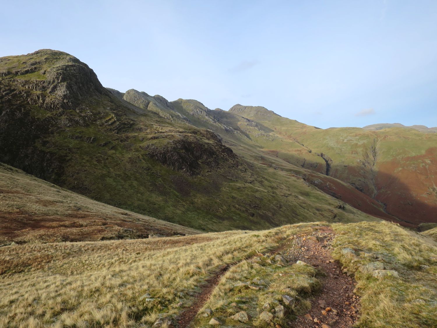
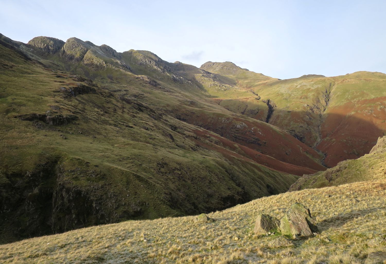
From Gladstone Knott you are provided with a good aspect of the Crinkles — here the fourth Crinkle, Mickle Door, and the third Crinkle are easily defined, while the fifth Crinkle on the left looks like the ugly duckling of the group.
“This chap has got down early… must have been camping overnight. Legend!”
Many thanks for following me on this journey. The route over the Crinkles is complex, and it is easy to lose your way in mist, so I hope you get some benefit from the descriptions provided.
<<>>
Thanks, sources and further reading:
‘Book Four – The Southern Fells’ by Alfred Wainwright