At the south-west edge of the valley of Matterdale, two long curving ridges rise from the hamlet of Dockray. These spurs, which flank the small valleys of Deepdale and Dowthwaite, contain many subsidiary and satellite summits. The Watermillock Common ridge, which is the southern of the two, forms part of the long spur from Stybarrow Dodd, while to the north the Matterdale Common ridge is connected to Great Dodd. In all, 14 summits are included on this walk, two of which, Swineside Knott and Brown Hills, provide the best views of Ullswater.
GPX Route: Download
PDF Maps: Download
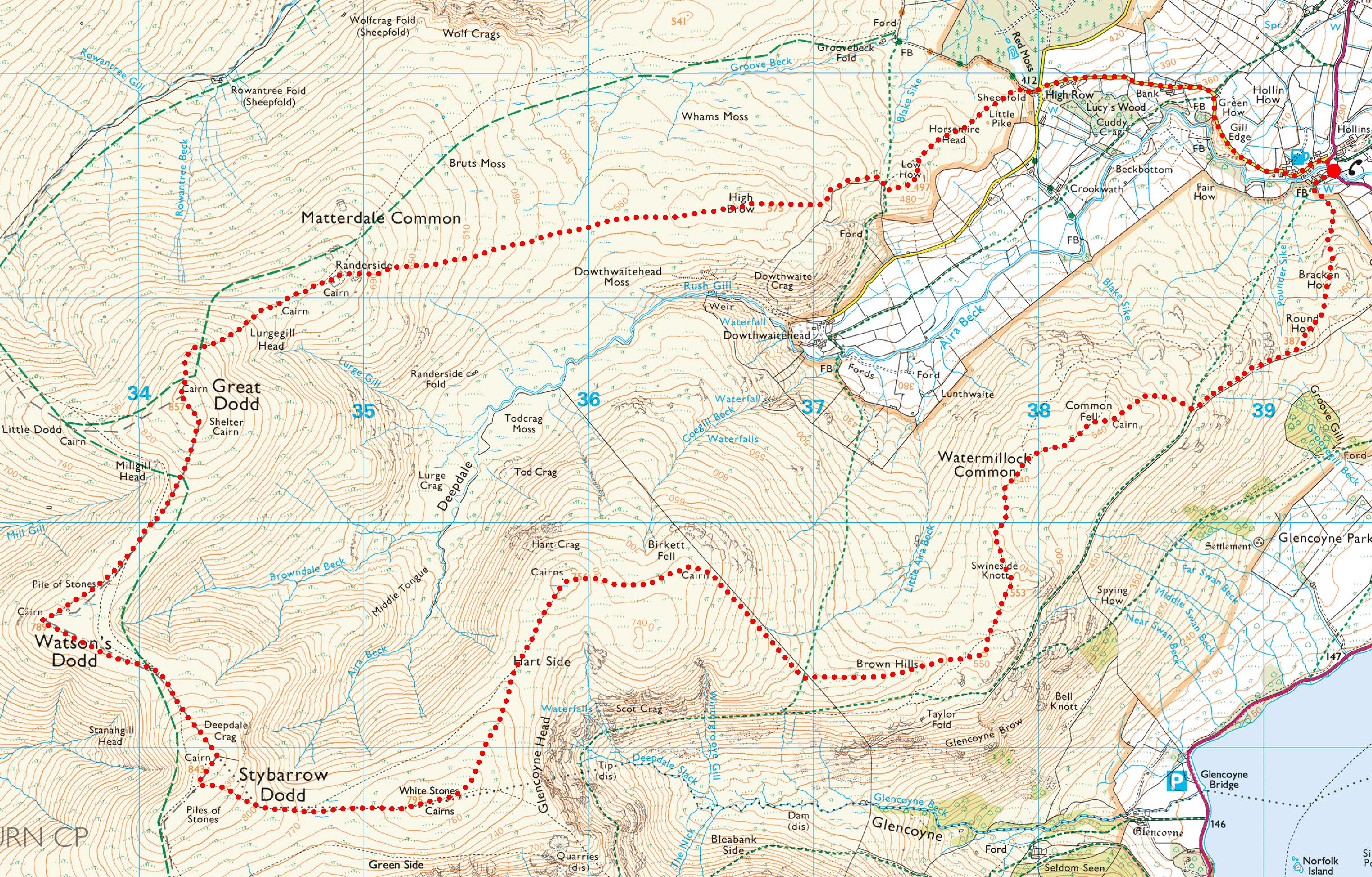
Dockray > Bracken How > Round How > Common Fell > Swineside Knott > Brown Hills > Birkett Fell > Hart Side > Green Side > Stybarrow Dodd > Watson’s Dodd > Great Dodd > Randerside > Bruts Moss > High Brow > Low How > Dockray
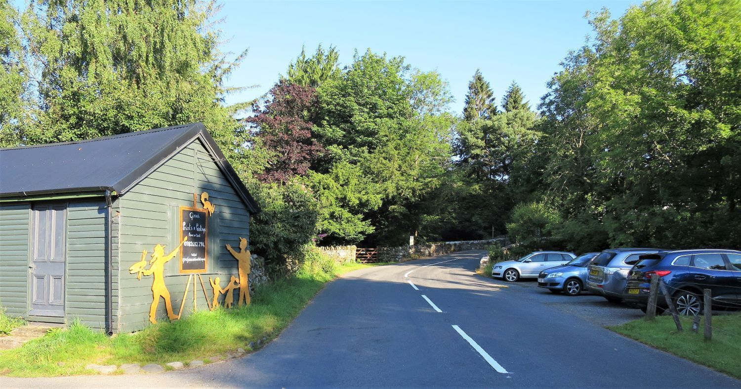 Parking at Dockray
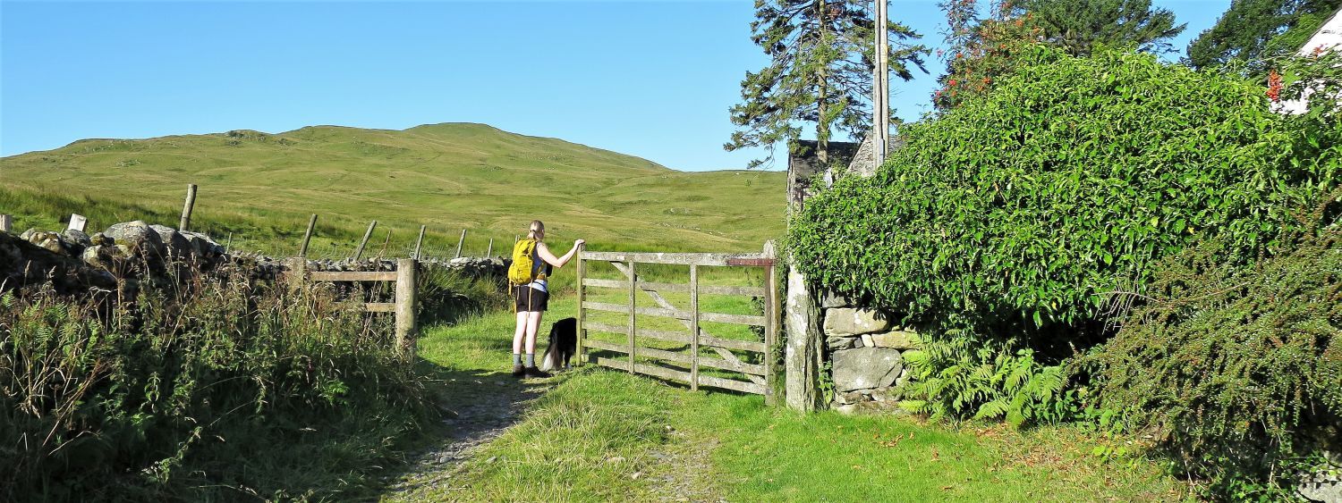
Our walk begins at the hamlet of Dockray, in the parish of Matterdale north of Ullswater. Dockray is a hub of creativity, being the base for three artists. The Green Shed, opposite the parking area, is the studio of landscape artist Gina Farncombe. The Wire Studio, just behind the Royal Hotel, is the base for wire sculptor, Michelle Castles. All their work, including that of Joanne Mitchell, are displayed at the Royal Hotel.
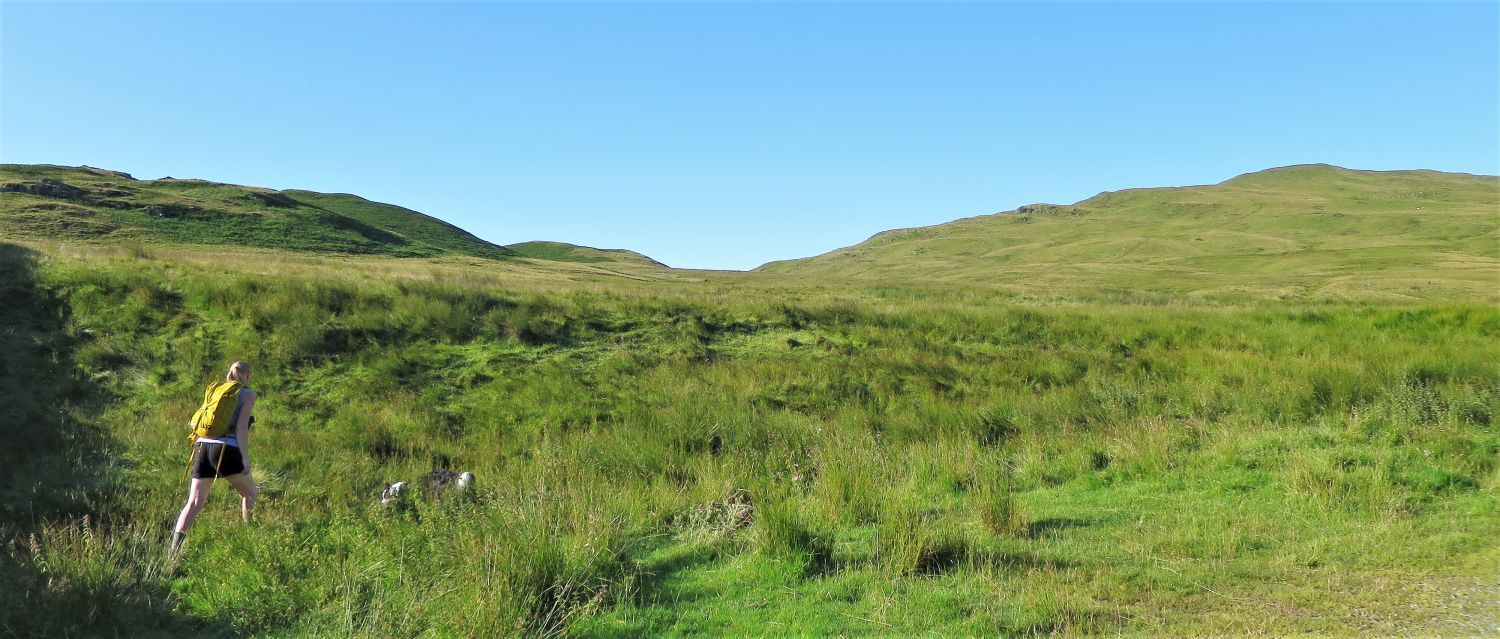
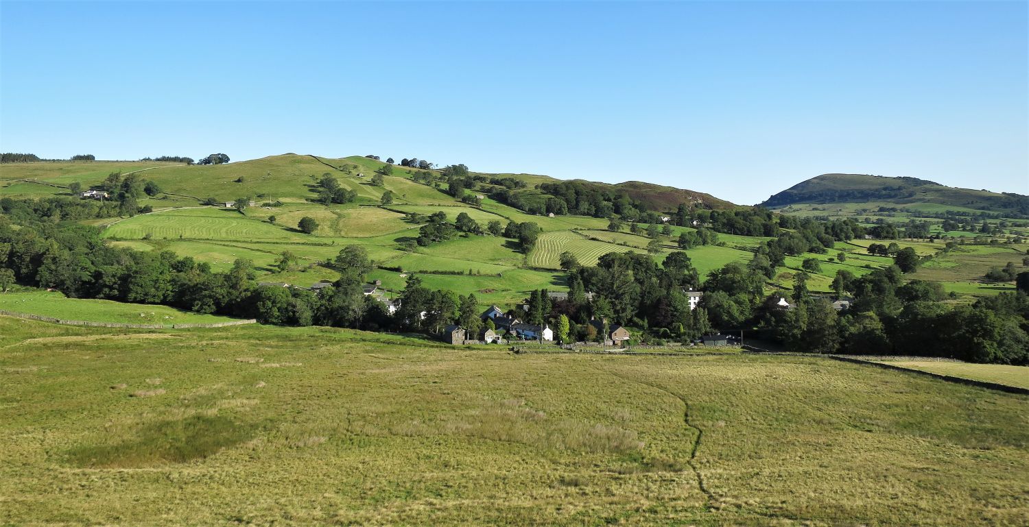
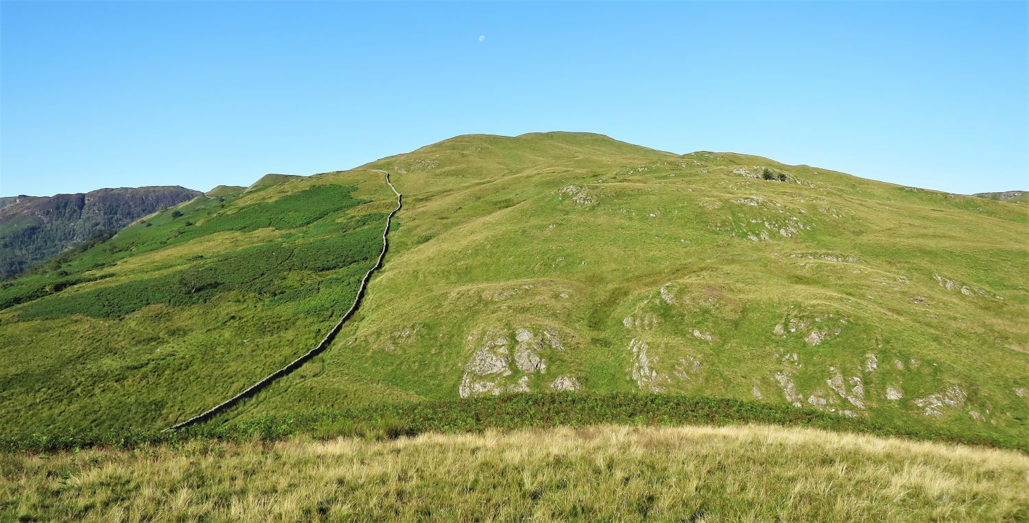
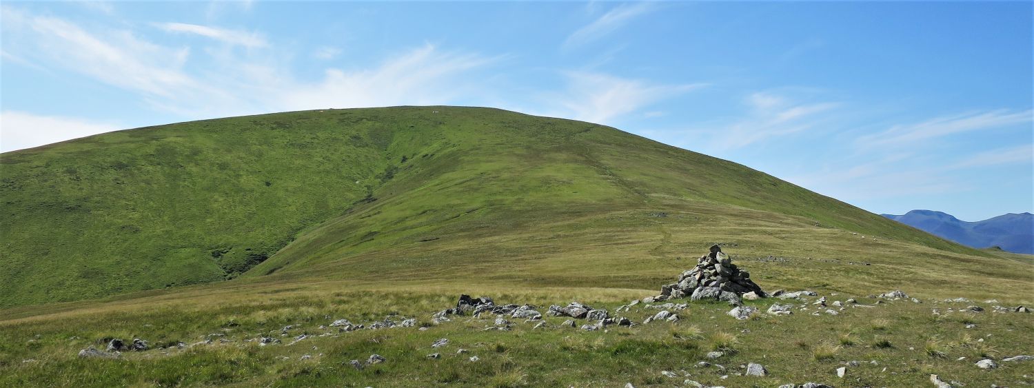
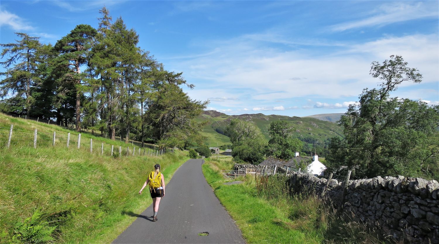
 Common Fell from leaving the hamlet of Dockray
Just a short distance from the Green Shed, a gate provides access to Watermillock Common and the beginning of our first ridge walk.
 Bracken How, Round How and Common Fell
Once through the gate, turn left and head for the two hillocks of Bracken How and Round How.
 Looking back to Dockray from Bracken How
 Round How and Common Fell from the summit of Bracken How
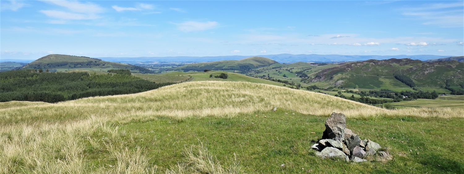
It is rather surprising that two fells on this ridge didn’t make it into Wainwright’s list of 214 fells. Common Fell, seen here from Bracken How, looks impressive; the other fell being Greenside further along the ridge.
 Great Mell Fell and Gowbarrow Fell over Bracken How, from Round How
 Ullswater from the summit of Round How
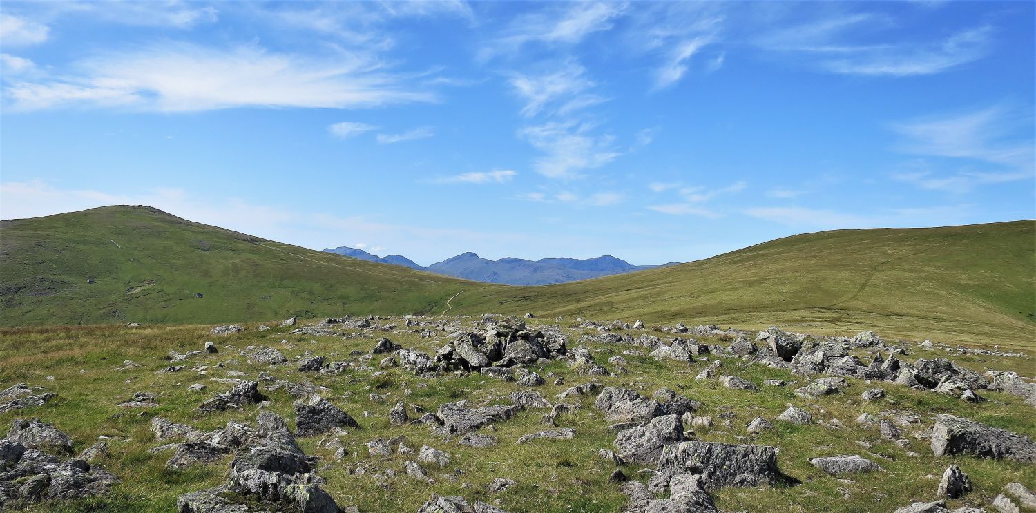
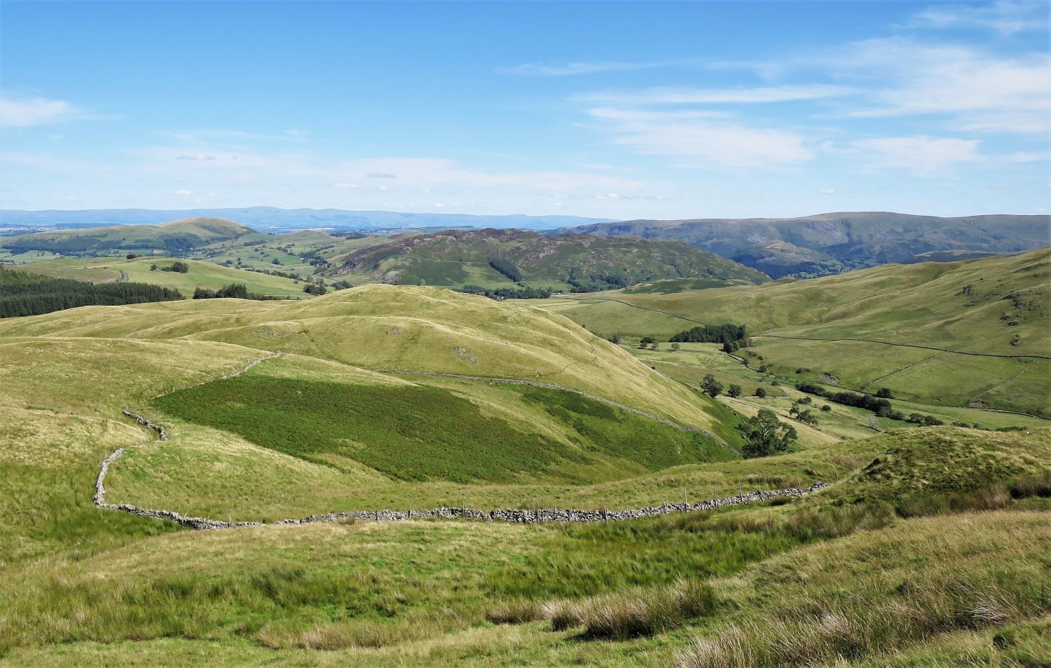
 Common Fell from the summit of Round How
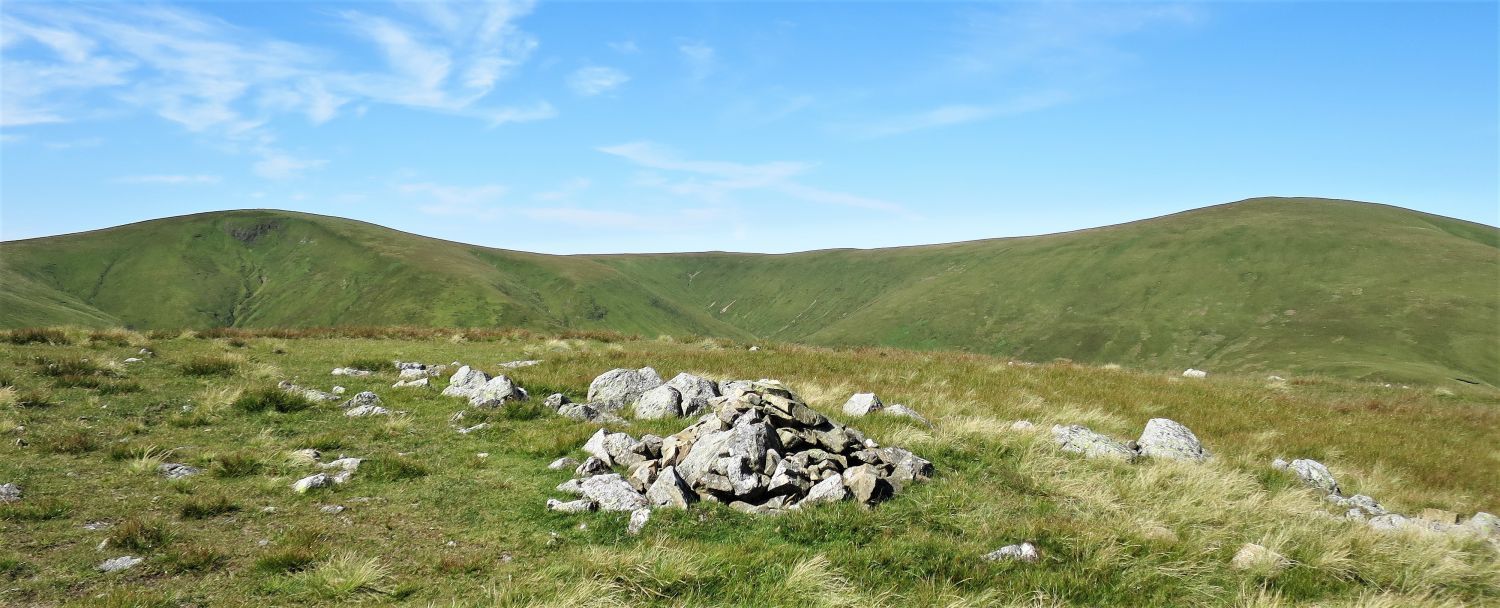
You can just see to the left of the wall, the promontories of Swineside Knott and Brown Hills. These two tops provide great views of Ullswater.
From leaving Round How, join the old miners’ path along the intake wall. Please note: don’t follow the wall to its highest point on Common Fell, instead leave the wall at a hollow just below the summit plateau (see map).
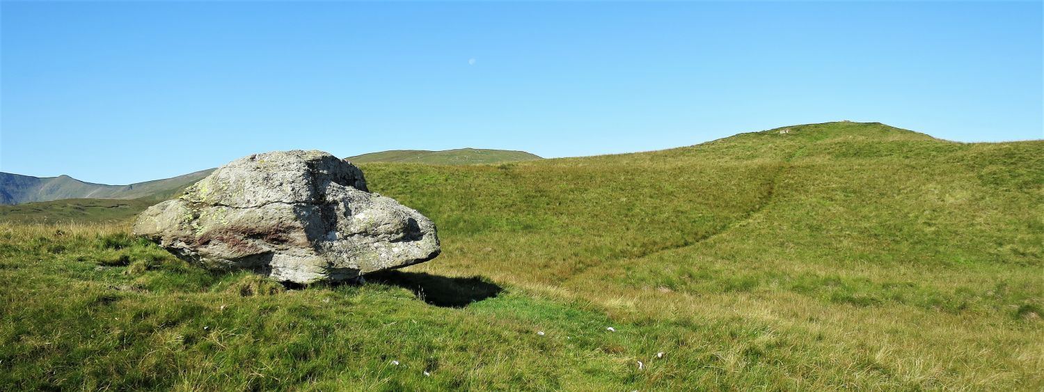 Erratic boulder on the approach to the summit of Common Fell
‘Hound Rock’ would be a suitable name? Surprising to see an erratic boulder so high up on these grassy hills.
 The valley of Dowthwaite from the summit of Common Fell
Common Fell provides a great view of the remote valley of Dowthwaite. Just beyond Dowthwaite Head is the beginning of the upper valley of Deepdale, and over these two valleys our descent ridge leads its way down to Dockray from Great Dodd.
 Swineside Knott and Birkett Fell from Common Fell
Swineside Knott and Brown Hills are only a short easy plod from Common Fell.
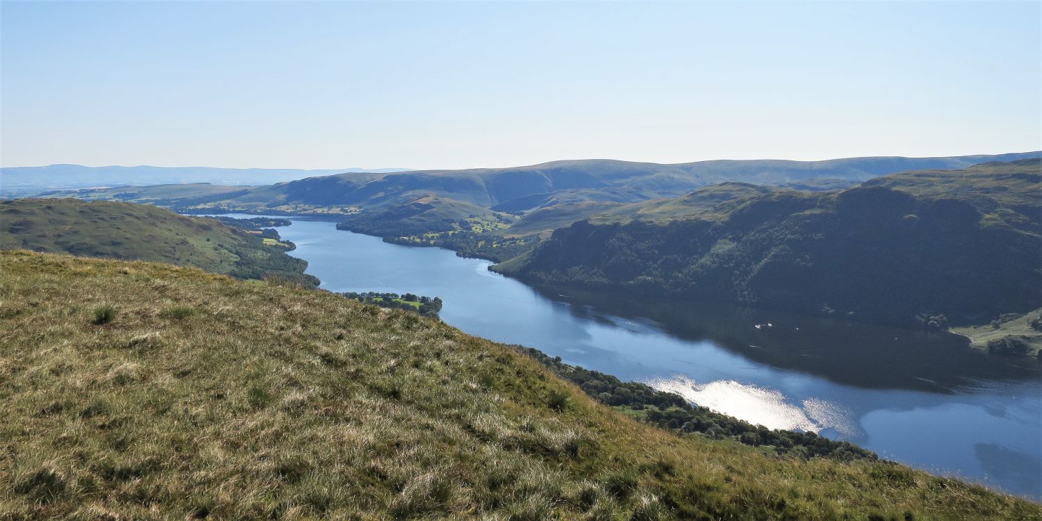 Looking east over Ullswater from Swineside Knott
 Looking south-east over Ullswater from Swineside Knott
 The continuing ridge to Birkett Fell from the summit of Swineside Knott
 Sheffield Pike (left), Nick Head (col) and Glencoyne Head (right) from the summit of Brown Hills
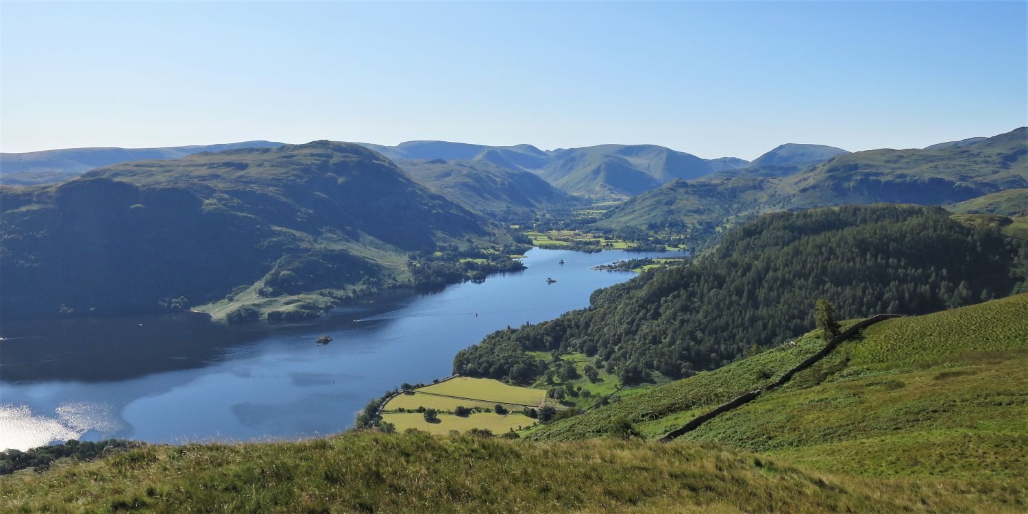
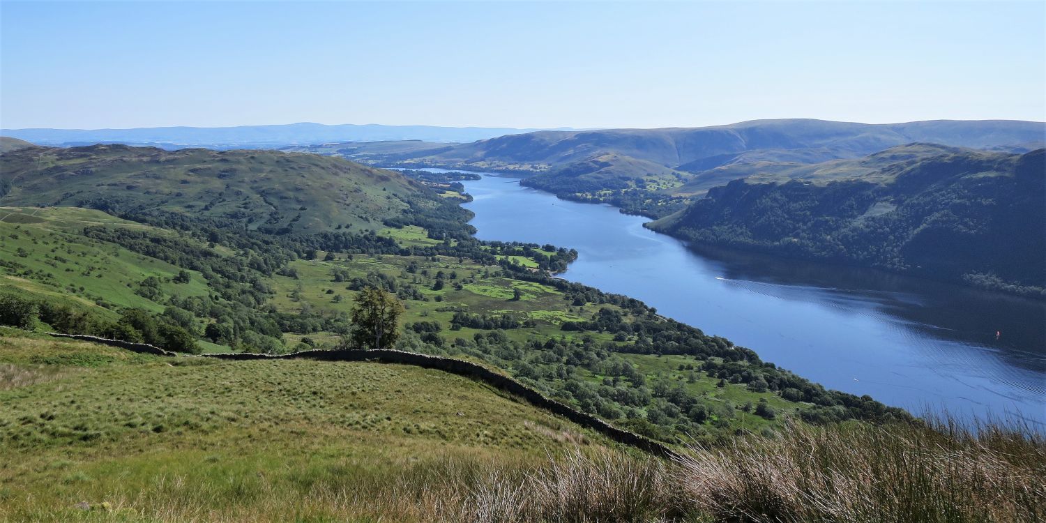 Looking east over Ullswater and Glencoyne Park from Brown Hills
Alfred Wainwright mentioned that the “best viewpoint for Ullswater” is from Swineside Knott, however, a slightly better viewpoint can be found just below the summit knoll of Brown Hills.
 Looking south over Glenridding Dodd from Brown Hills
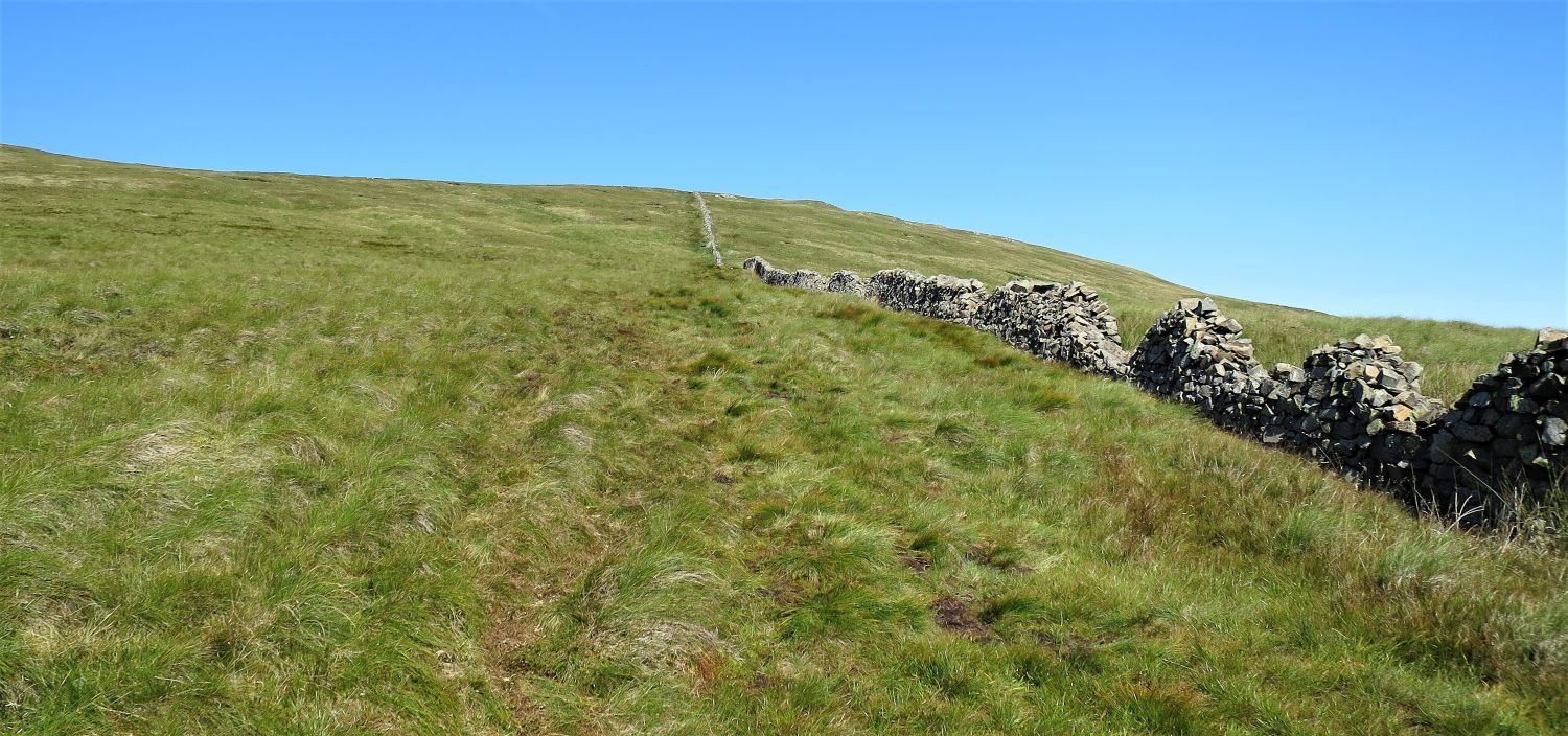
 The approach to Birkett Fell and Hart Side
At the point of reaching the wall, the Dowthwaitehead path emerges from our right before continuing down to the miners’ path traversing Glencoyne. Miners walked many miles in all conditions to reach Greenside Mine, many of whom came from the Parish of Matterdale and beyond.
 Sheffield Pike, Nick Head and Glencoyne Head
Striding Edge, Catstycam, Helvellyn and Lower Man appear over the col of Nick Head.
 The ascent of Birkett Fell
This wall must be the straightest in Lakeland; was the cartographer testing out a new ruler? It is steep too!
 Hart Side and Great Dodd from the Birkett Fell cairn
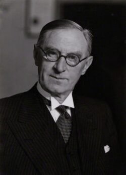 Lord Birkett
William Norman Birkett, 1st Baron Birkett, was born in Ulverston, Cumbria on 6th September 1883. He was a British barrister, judge, politician and Methodist preacher who served as the alternate British judge during the Nuremberg Trials. From 1958 he served in the House of Lords, and it was while in this role he helped to defeat a parliamentary bill (Manchester Corporation Bill) to turn Ullswater into a reservoir to meet the needs of the growing population in Manchester. A planned weir on the River Eamont at Pooley Bridge, would’ve increased the level of the lake by 3ft. However, on his very last day in the House of Lords, on 8th February 1962, his speech was “deeply felt and eloquent”, and when the votes were counted, Lord Birkett and his supporters had won by 70 votes to 36. Lord Inglewood, who also played a leading role in the campaign, commented: “Lord Birkett’s powerful speech, is rightly considered one of the finest in modern Parliamentary history and undoubtedly saved the lake for all people for all time”.
The next morning Lord Birkett collapsed and was taken to hospital. The doctors discovered a ruptured blood vessel in his heart and began immediate surgery. Sadly the operation failed to fix the problem, and he died early the next morning on 10th February 1962.
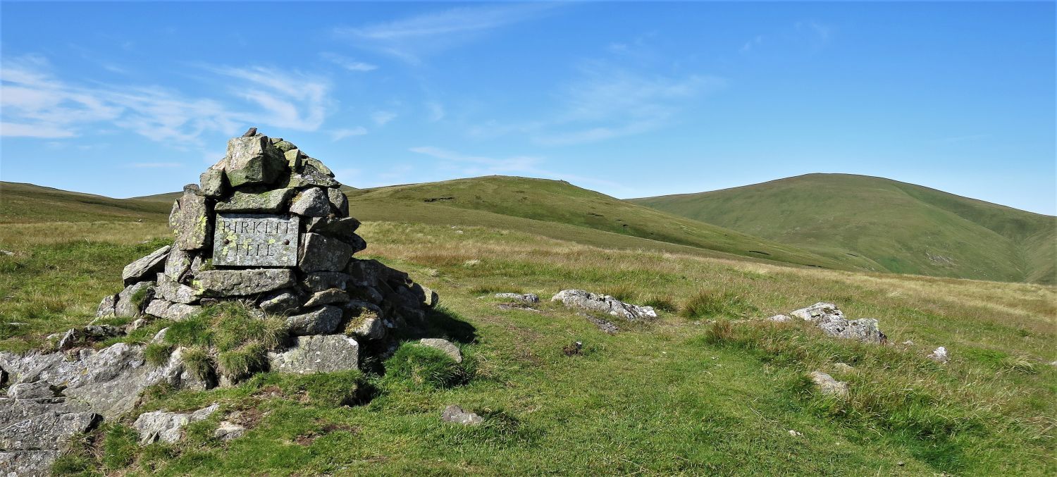
To commemorate Lord Birkett’s contribution to preserving Ullswater and the land surrounding it, a previously unnamed fell was named ‘Birkett Fell’ in his honour. A memorial plaque was also erected on Kailpot Crag, which can only be seen from a boat on Ullswater. On 29th August 2017, a memorial to commemorate Norman Lord Birkett and the Ullswater Preservation Society, was placed near the Ullswater steamers pier, at Pooley Bridge.
Since 1963, the Ullswater Yacht Club held an annual Lord Birkett Memorial Trophy Race on the lake.
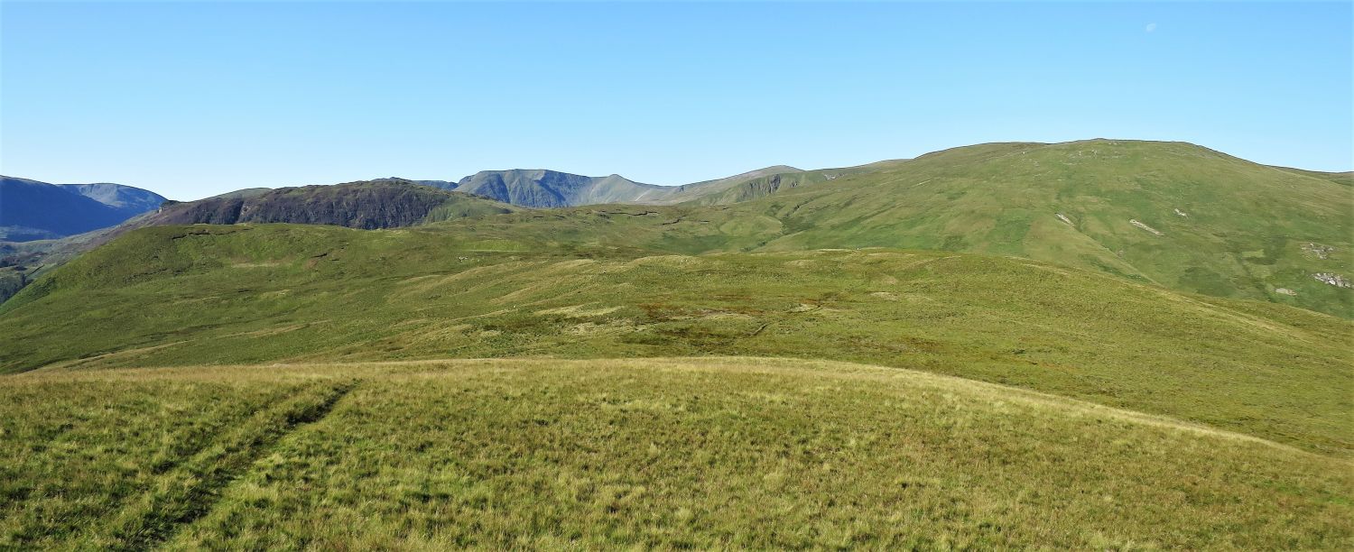
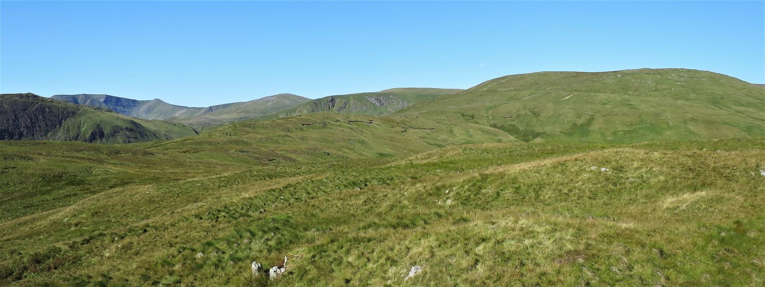
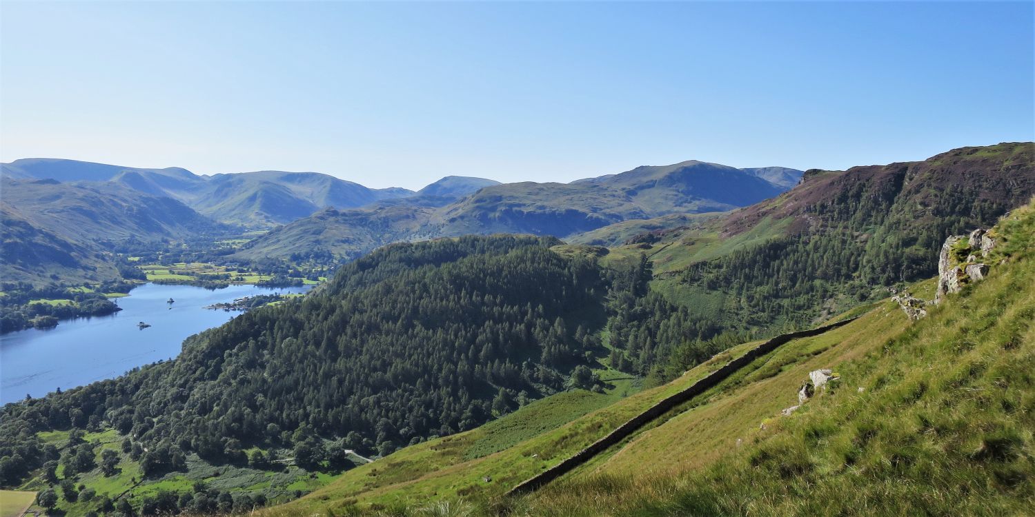
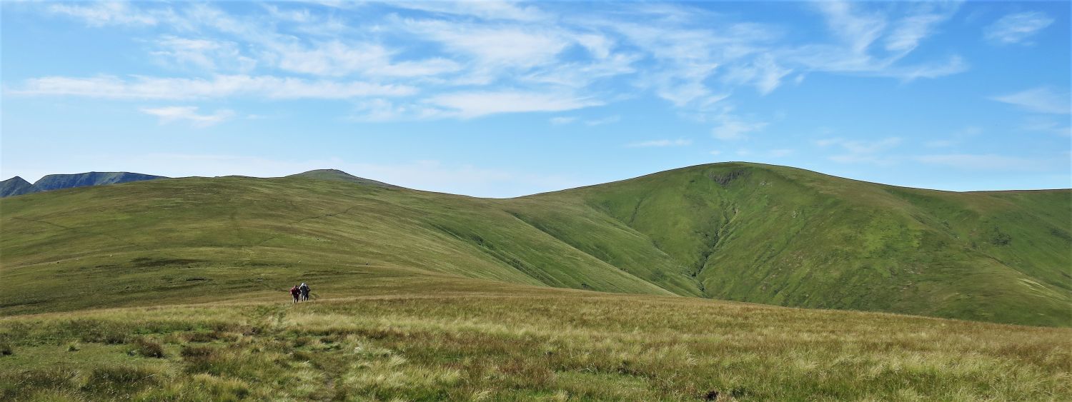
 Stybarrow Dodd and Great Dodd from the approach to Hart Side
 Stybarrow Dodd, Watson’s Dodd and Great Dodd from the summit of Hart Side
“The summit has nothing extraordinary to show in natural forms, being grassy with a few outcropping boulders. Yet this is a top that cannot be confused with any other,….”
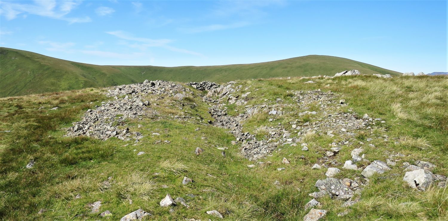 The ‘ditch’ on Hart Side’s summit plateau
“….for here man has not contented himself merely with building a few cairns but has really got to work with pick and spade, and excavated a most remarkable ditch, rather like the Vallum of the Roman Wall.” Hart Side 6
AW
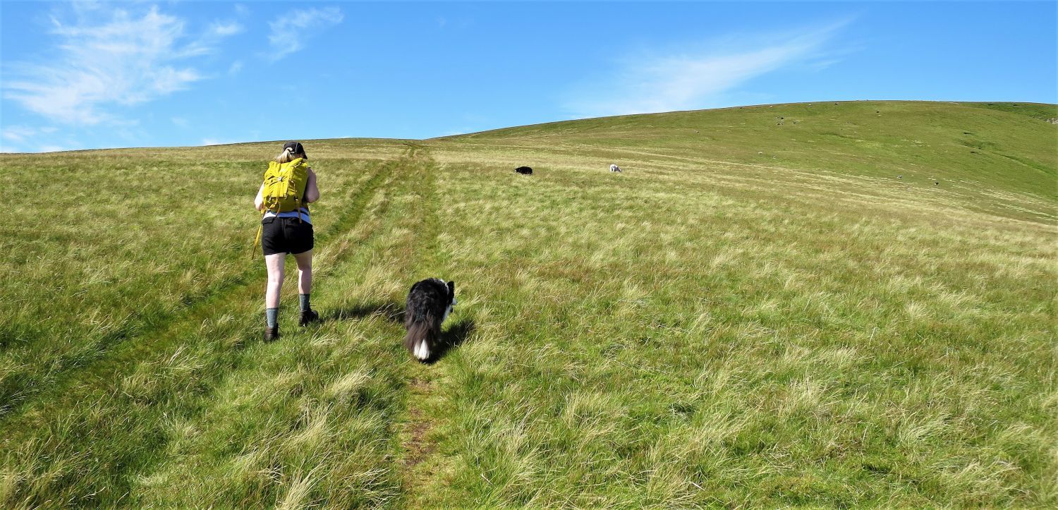
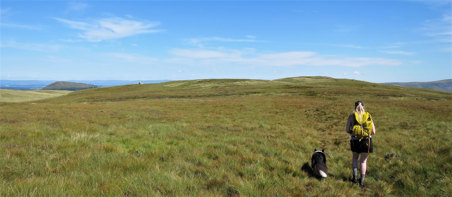
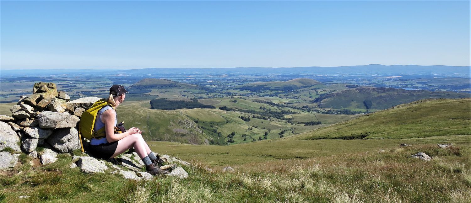 Jaclyn admiring the view down the valley of Dowthwaite and towards Matterdale
This cairn, on the north-east edge of the summit plateau, marks one of my favourite places to sit in Lakeland. Here, thoughts are processed, and views are admired.
 Green Side and Stybarrow Dodd from leaving Hart Side
 Raise and Sticks Pass from the summit of Green Side
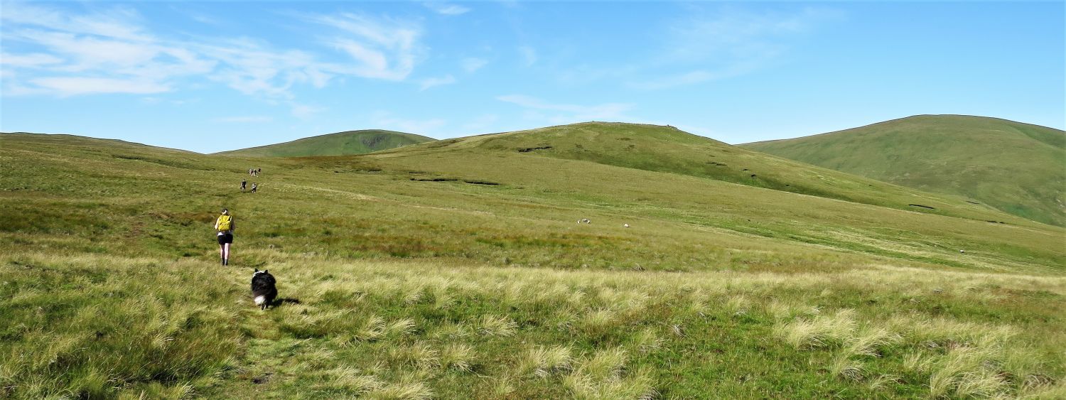
 The ascent of Stybarrow Dodd
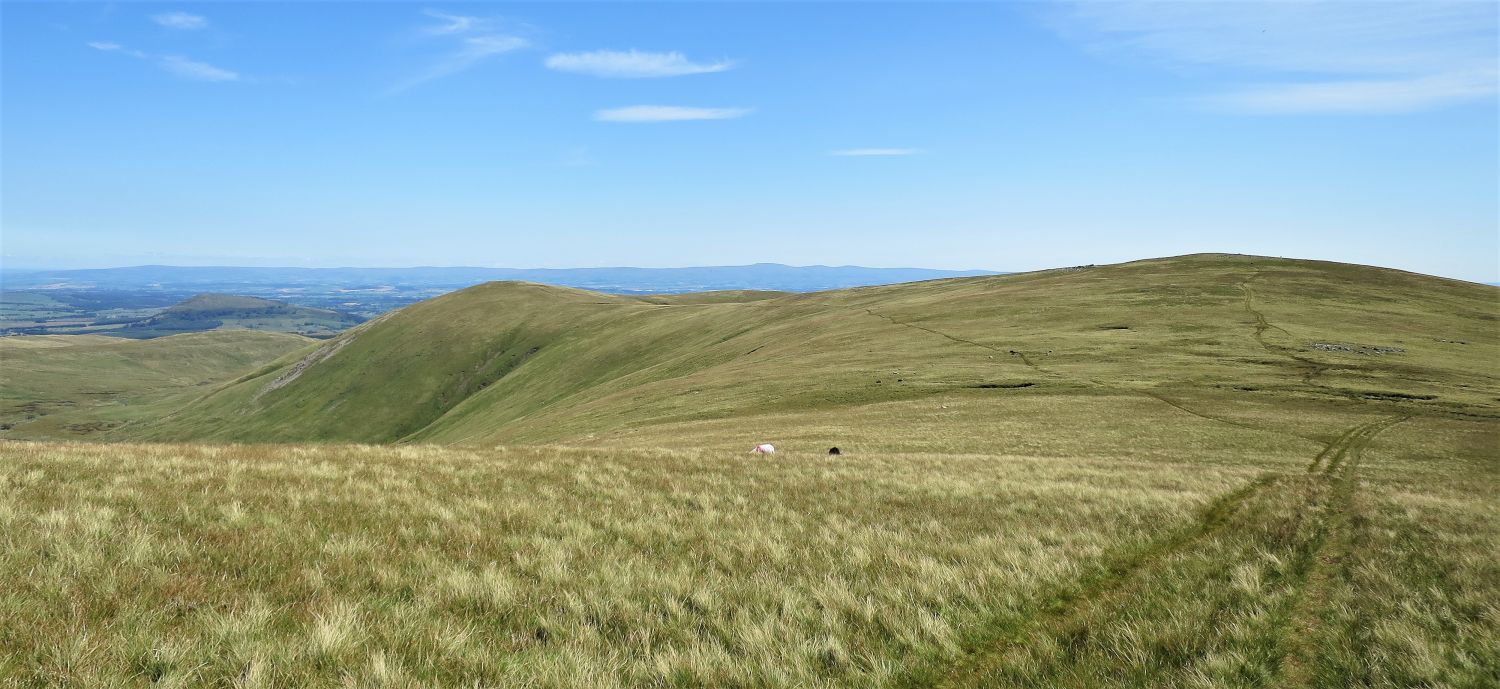 Looking back to Hart Side and Green Side, with Deepdale down on the left
“Stybarrow Dodd sends out a long eastern spur that rises to a minor height, Greenside (which, incidentally, gave its name to the lead mine in nearby Glenridding)….” Stybarrow Dodd 2
AW
 Looking west from the summit of Stybarrow Dodd
The dip on the central horizon is the Newlands Pass, with the Dale Head group to the left and the Grasmoor group to the right. Great Gable and Pillar are the highest summits on the far left.
“An extensive and excellent panorama is seen above a dull and dreary foreground.” Stybarrow Dodd 9
AW
 Hart Side and Green Side from Stybarrow Dodd’s summit plateau
The remains of a short section of wall appears on the eastern edge of the summit plateau. My only theory about this is that it rises from Deepdale Crag, and once met the old Civil Parish Boundary fence at the summit.
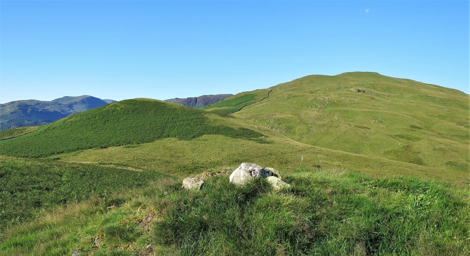
 Watson’s Dodd and Great Dodd from leaving Stybarrow Dodd
 Book One
The Eastern Fells
Watson’s Dodd
“The Summit”
Looking west from the summit of Watson’s Dodd.
“A few big stones adorn the highest point, at the western end of the flat triangular top, and they look strangely alien just there in the universal grassiness of the surroundings, as though they had been carried there. (Maybe Mr. Watson undertook this task; if so, it is fitting that the fell should bear his name!). There is a suggestion of history in these hoary stones.” Watson’s Dodd 4
AW
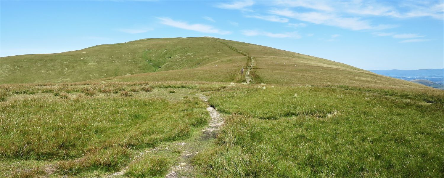 The path leading to Great Dodd
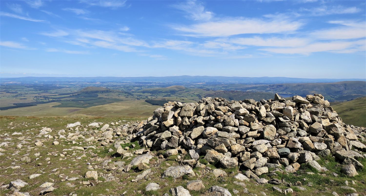 Looking north-east from the windshelter on Great Dodd’s south top
“On the north top is the main cairn, and on the south top is another cairn hollowed to provide shelter from the west wind. At one time this was the only cairn, and its builders must have felt twinges of conscience during their task; they selected as its site a most convenient rash of stones, ignoring the highest point a hundred yards distant, where all was grass. The summit is otherwise featureless.” Great Dodd 9
AW (Revised by CJ)
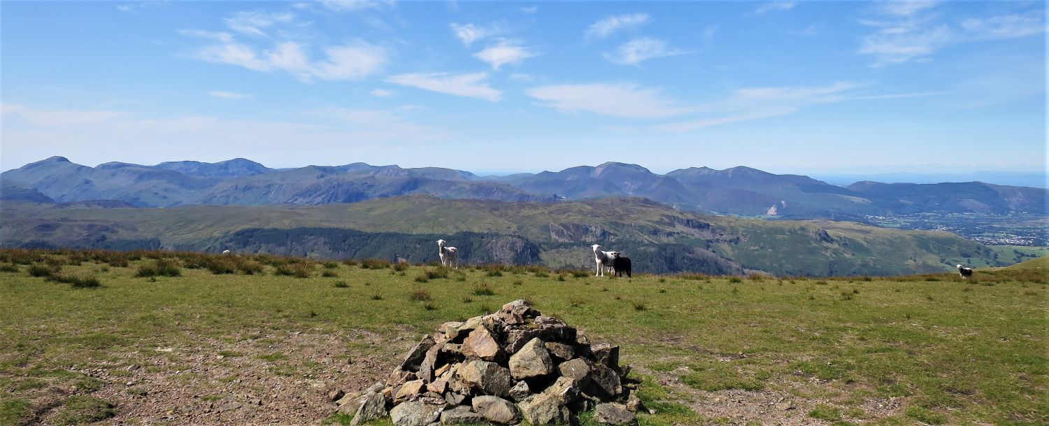
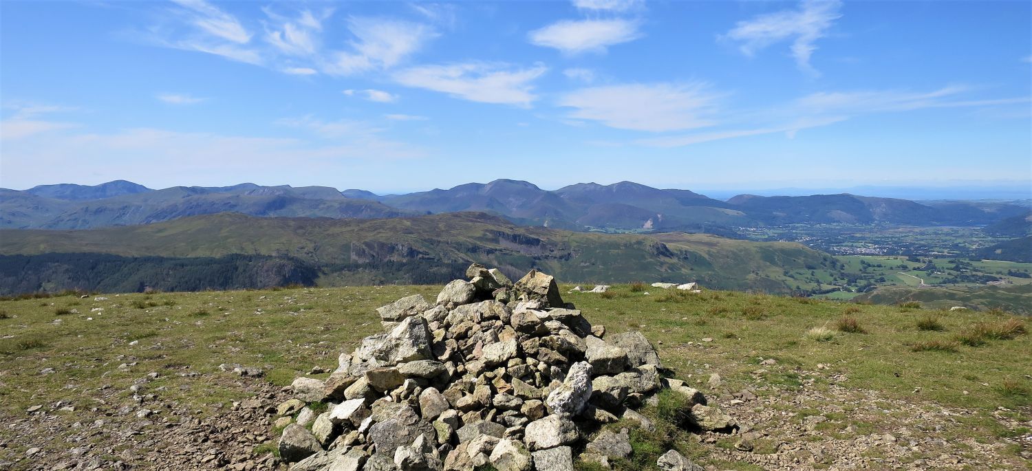
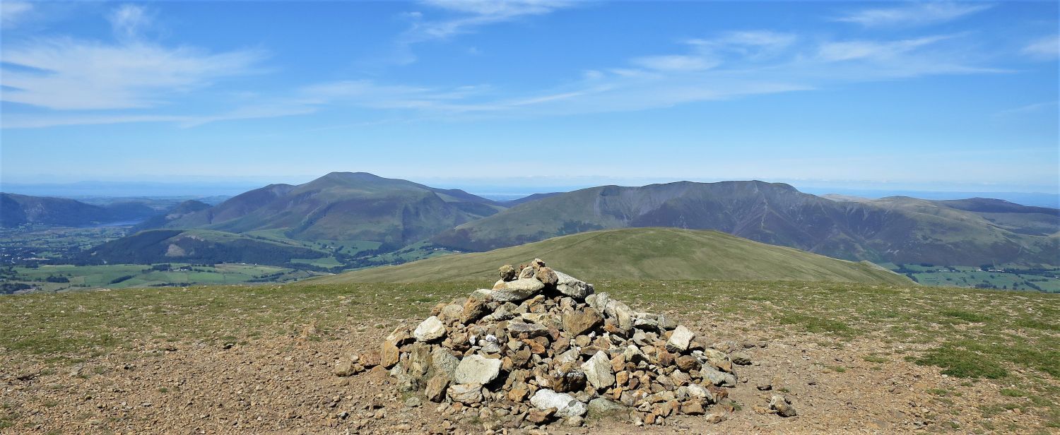 The Northern Fells from the summit of Great Dodd
 Looking down into Deepdale, Dowthwaite and beyond
We now begin our final chapter of the walk, the descending ridge from Great Dodd and back to Dockray. With the exception of some marshy ground, the route is pleasant walking throughout.
“Grassy slopes fall away gently on all sides. Distances are greater than they seem hereabouts, but progress is rapid.” Great Dodd 9
AW
“There are no paths from the summit, but the direction of the route to Dockray is marked by a small cairn which appears on the skyline when viewed from the main cairn.” Great Dodd 9
CJ
 Book One
The Eastern Fells
Great Dodd
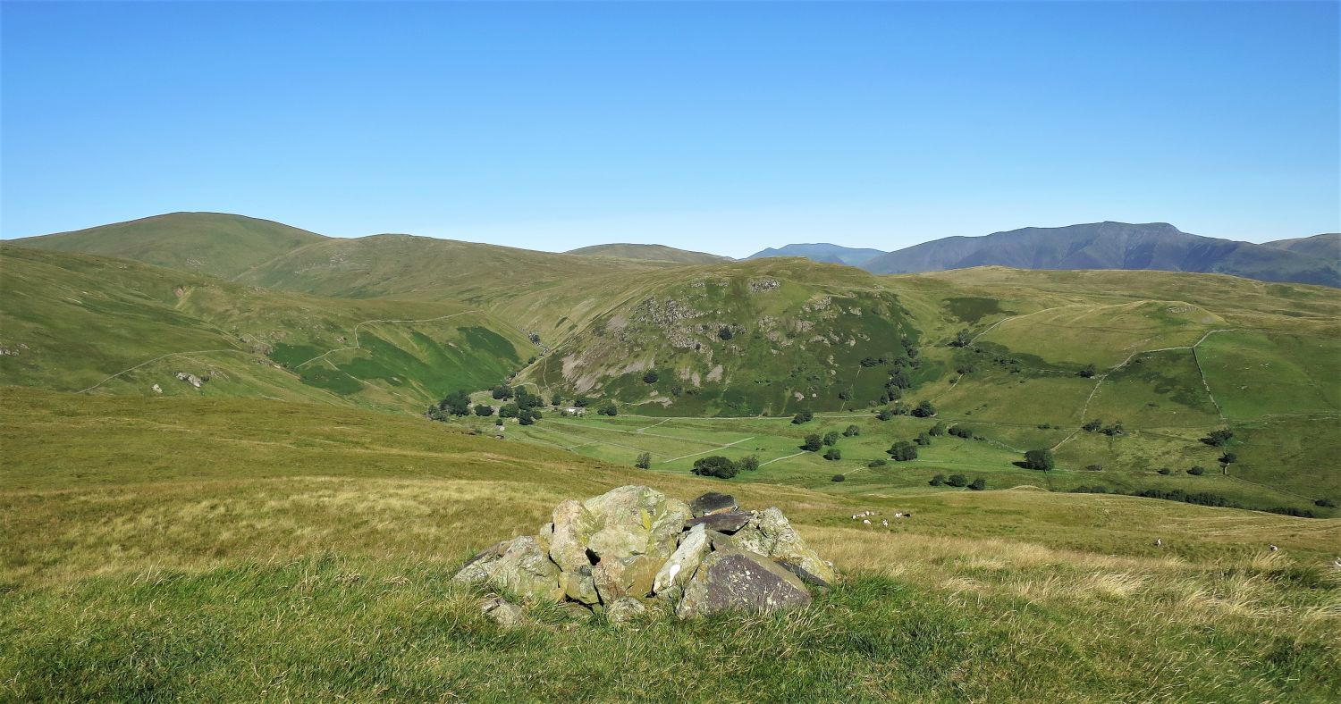
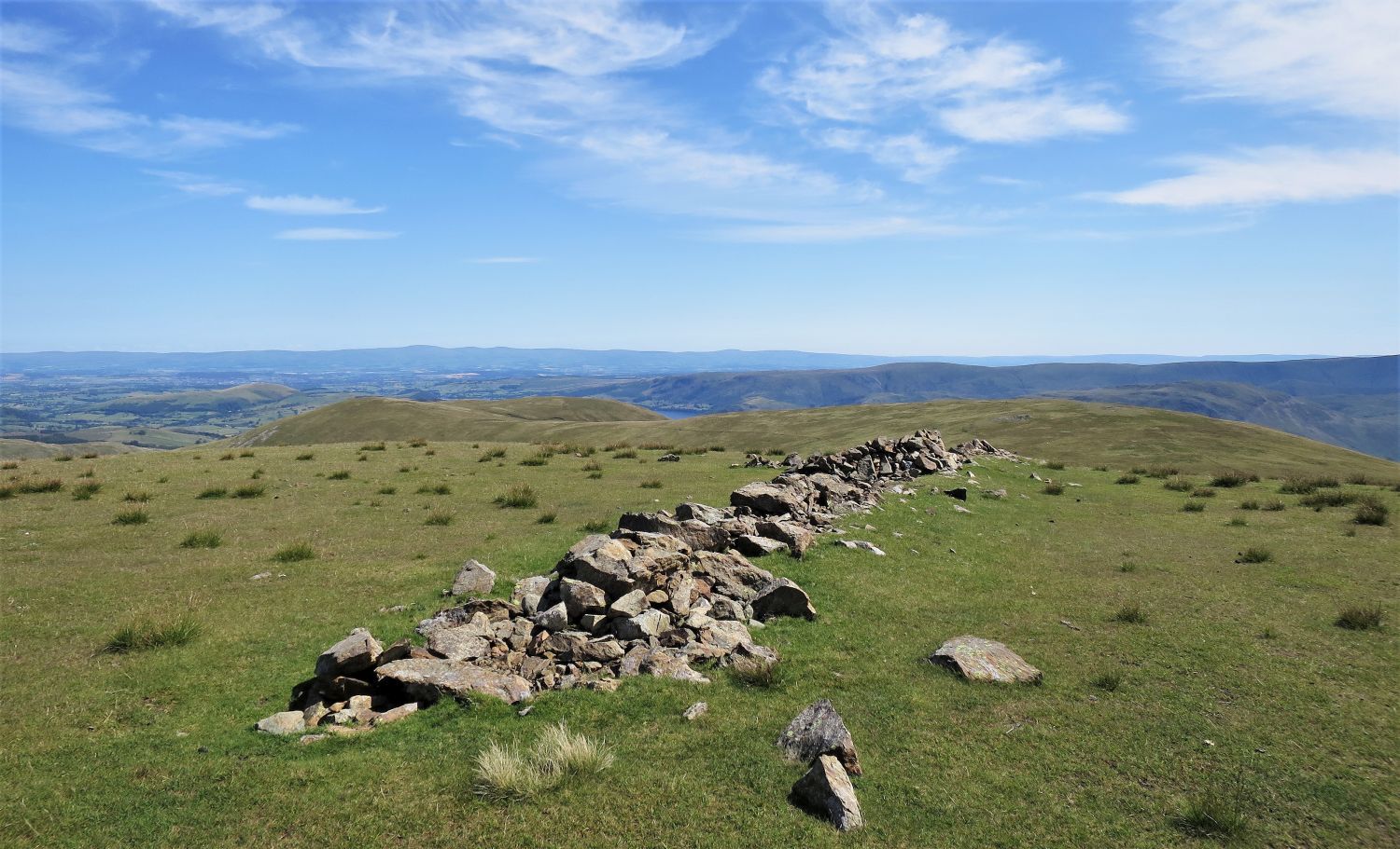
“The cairn on Randerside”
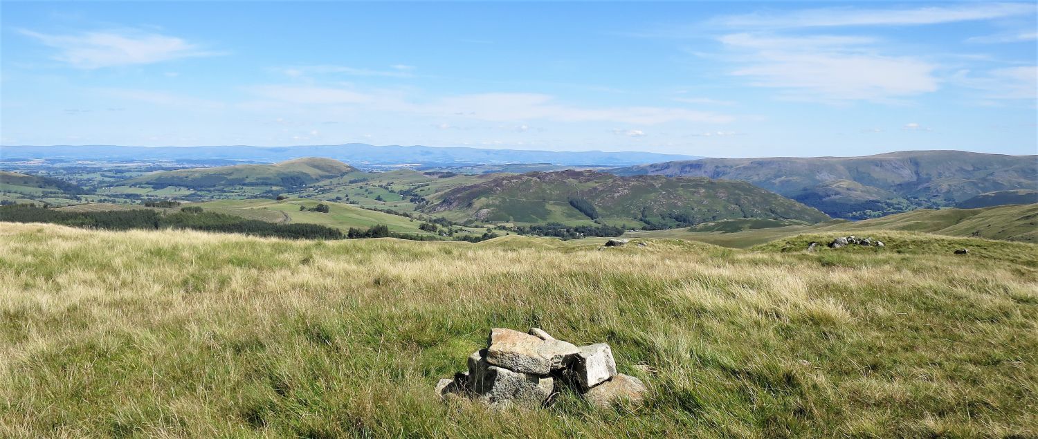
The Northern Fells over Clough Head, from the summit of Randerside.
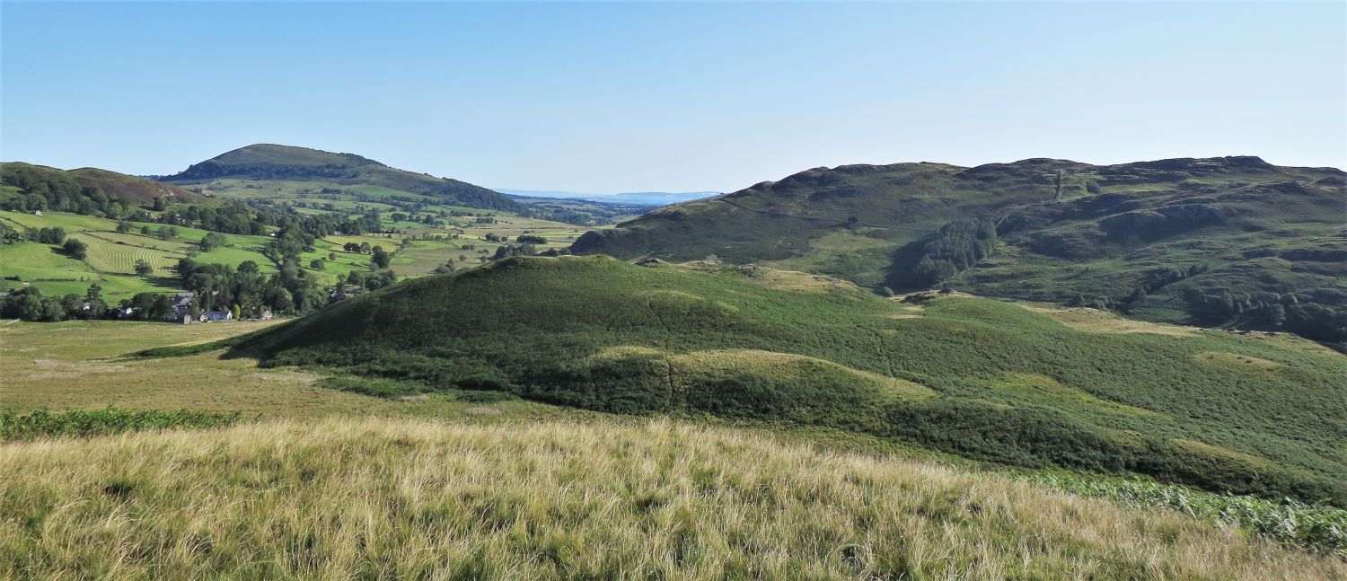
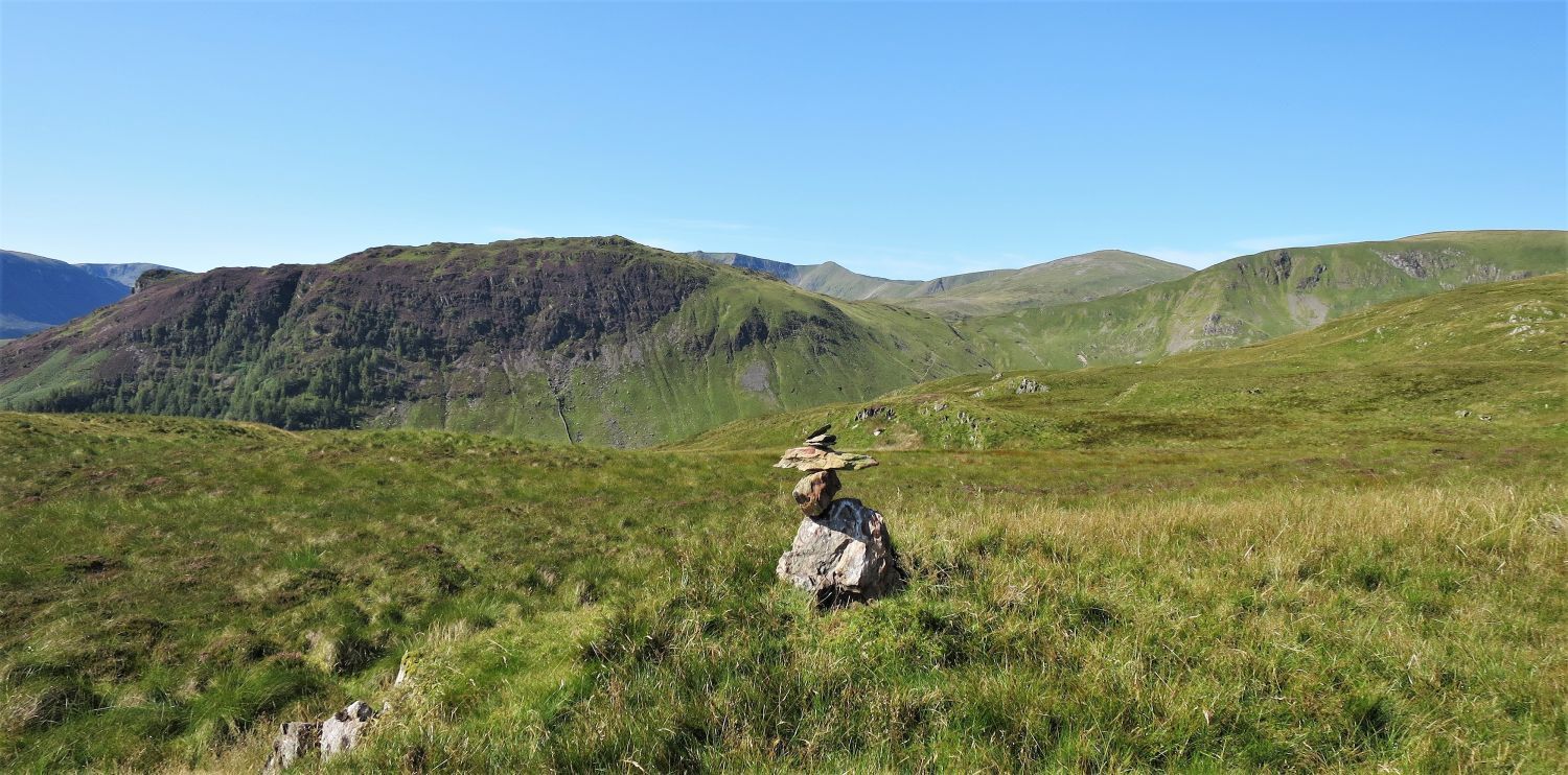
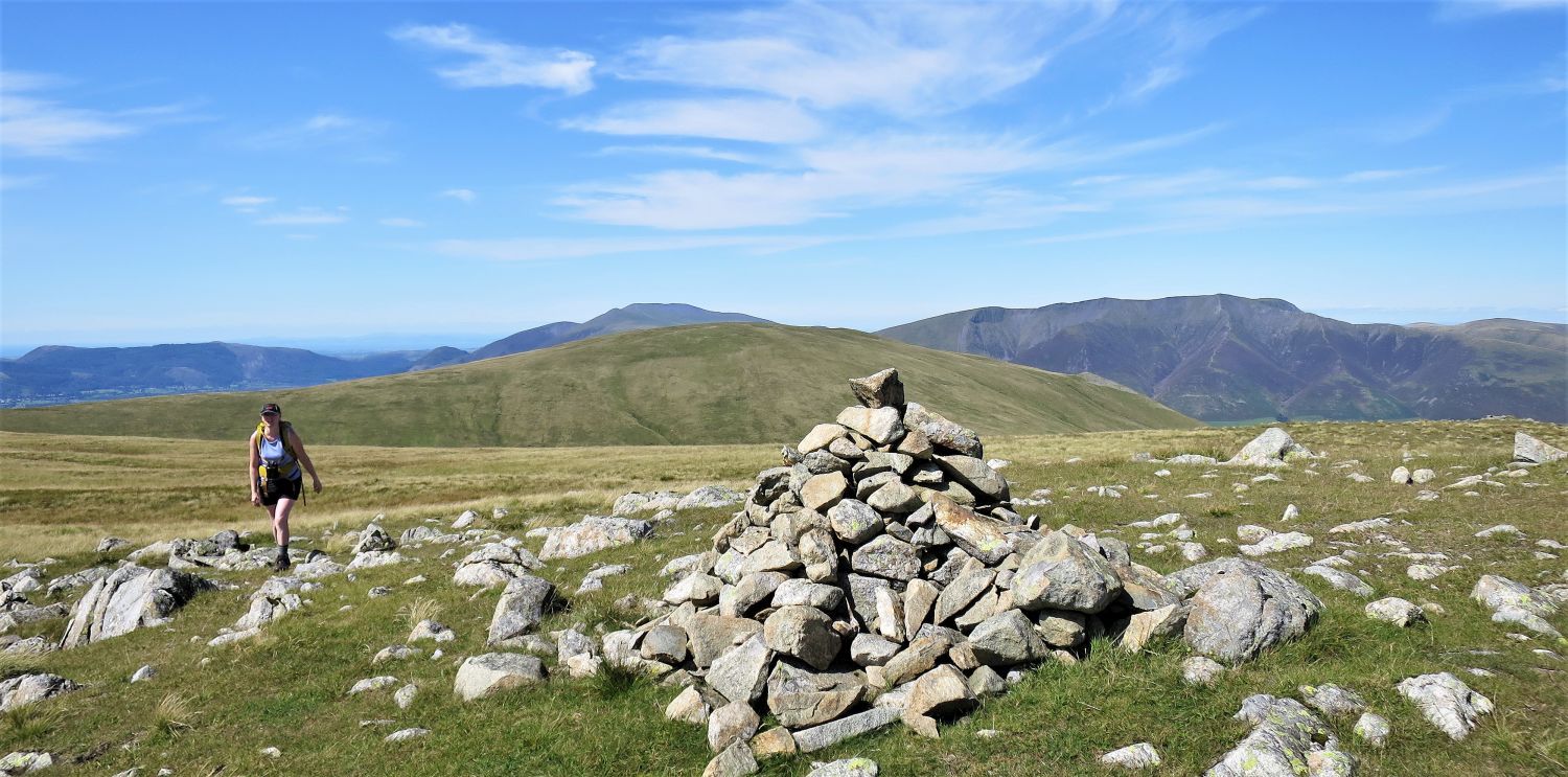
 Looking back to Great Dodd from Randerside
 The approach to High Brow
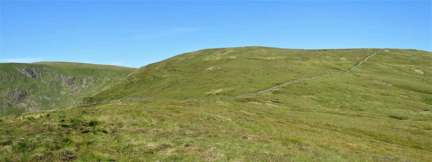
Initially, finding any path from leaving the summit of Randerside is difficult, so just make a beeline for High Brow in the distance; the shoulder between these two summits is very marshy, but a track soon appears to help you on the way.
The boulder Alfred Wainwright illustrated on page: Great Dodd 6, can be seen on the left.
“Deep Dale and the eastern slopes of Great Dodd are abominably marshy. It seems an oversight of nature that the sheep here are not born with webbed feet.” Great Dodd 6
AW
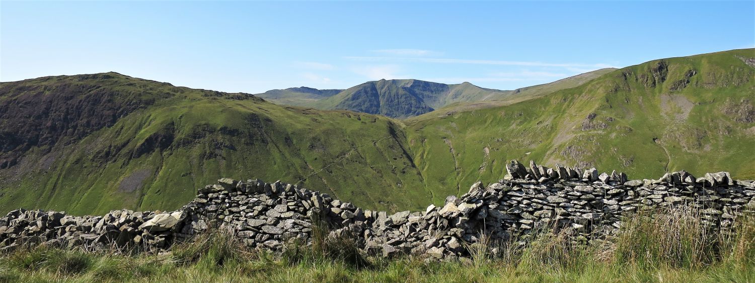
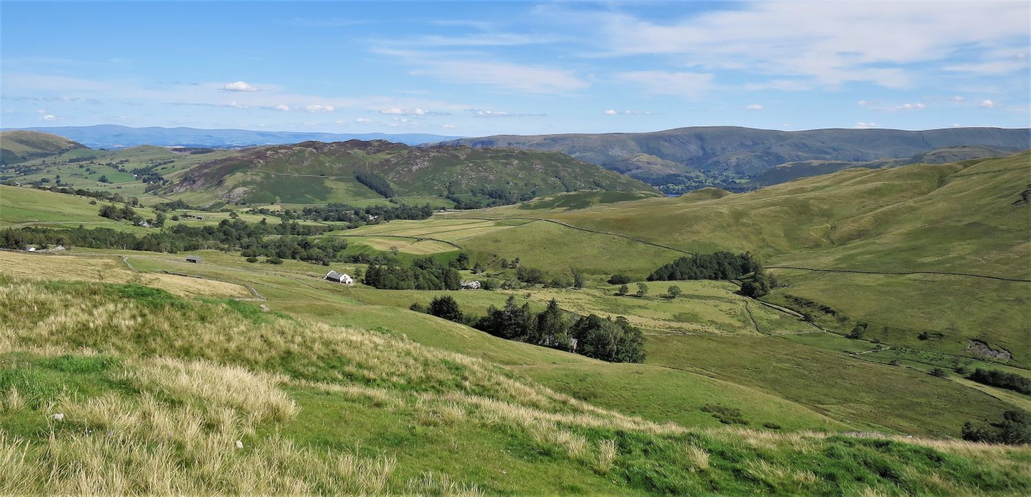
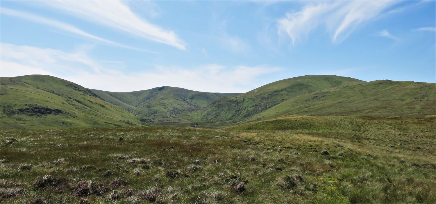 Looking to Hart Side, Stybarrow Dodd, Great Dodd and Randerside over Deepdale
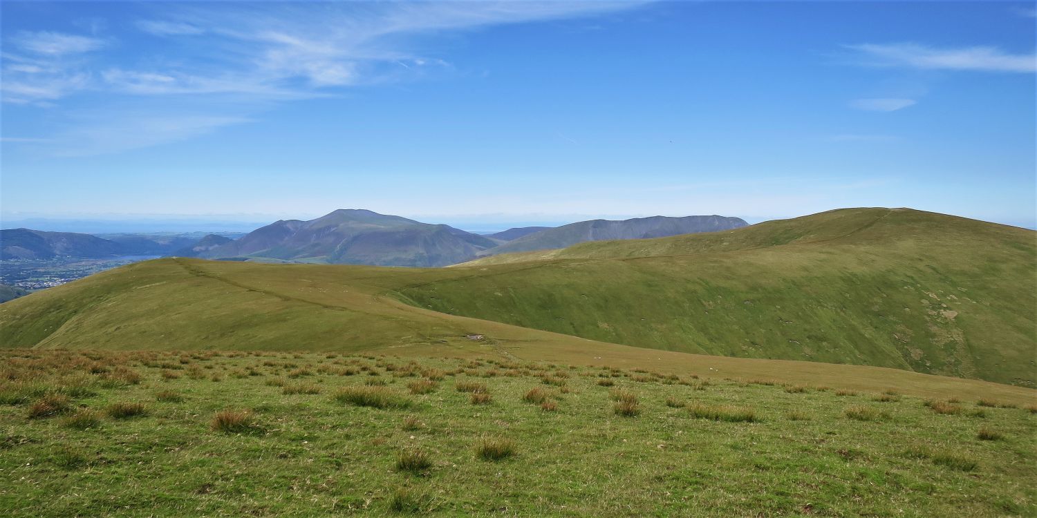
 Little Mell Fell and Gowbarrow Fell from the summit of High Brow
 Low How and the valley of Dowthwaite from High Brow
 Great Mell Fell and Little Mell Fell from the summit of Low How
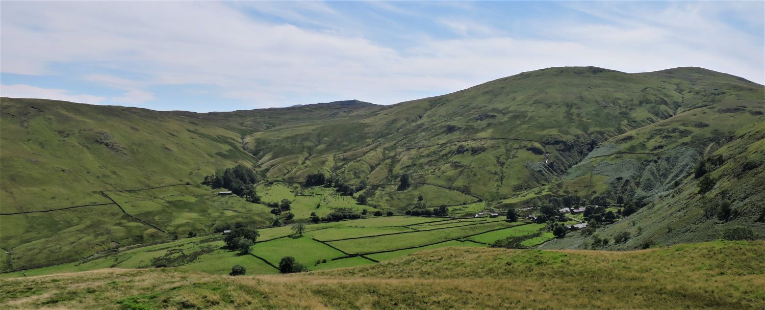 Dowthwaitehead from Low How
“Dowthwaitehead stands amongst fine trees in a romantic position at the foot of steep slopes.” Great Dodd 6
AW
 Gowbarrow Fell over the valley of Dowthwaite, from Low How
 The Crag Side Road leading to Dockray
Thank you for visiting.
Richard
<<>>
Thanks, sources and further reading:
‘Book One: The Eastern Fells’ by Alfred Wainwright
National Portrait Gallery, London
The Friends of the Ullswater Way