Carrock Fell is rough and can be tricky in mist, however, there’s much of interest and knowledge to gain from exploring its history. The top, once an ancient fort, is full of sites to browse, and the lower reaches are littered with disused levels and shafts of Carrock Mine. Carrock Fell is a great example of one that should be walked without the inclusion of other fells, with the exception of the odd Birkett or two.
A small parking area near Mosedale Bridge provides enough space for about three cars.
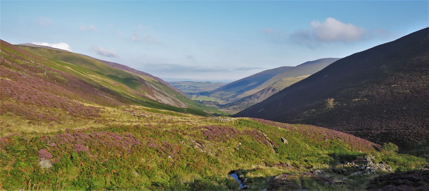
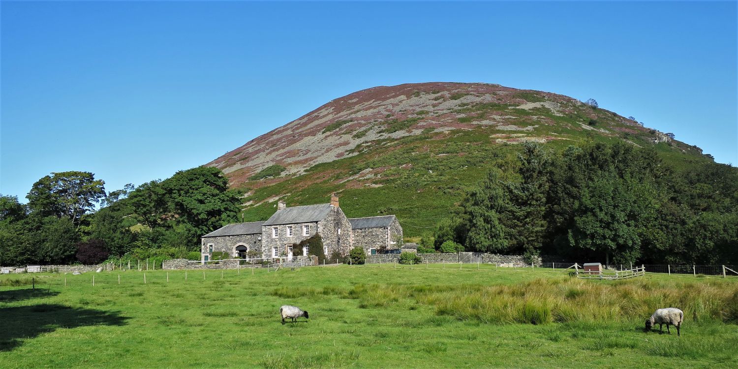 Carrock Fell over Mosedale House, from Mosedale Bridge
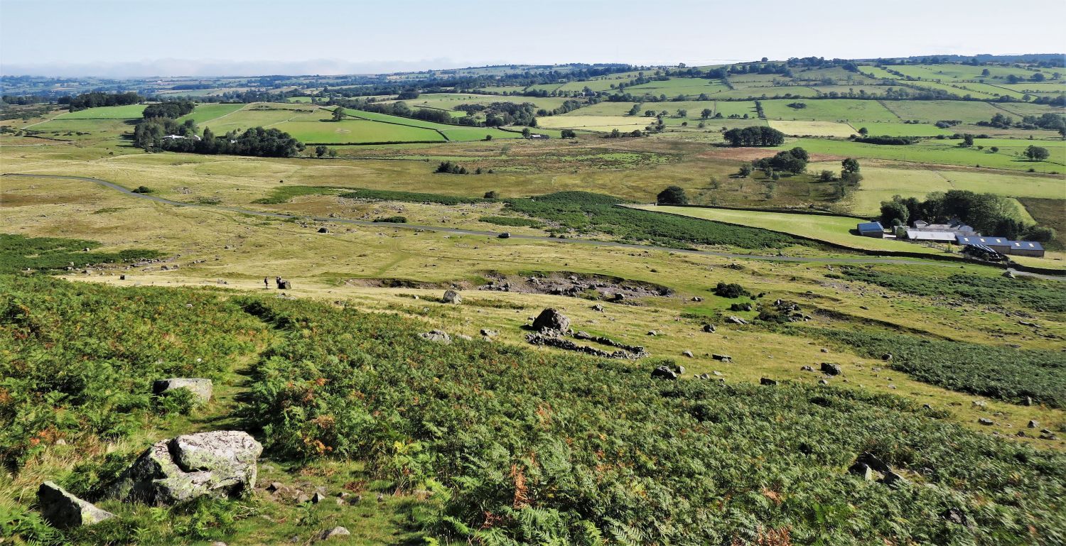
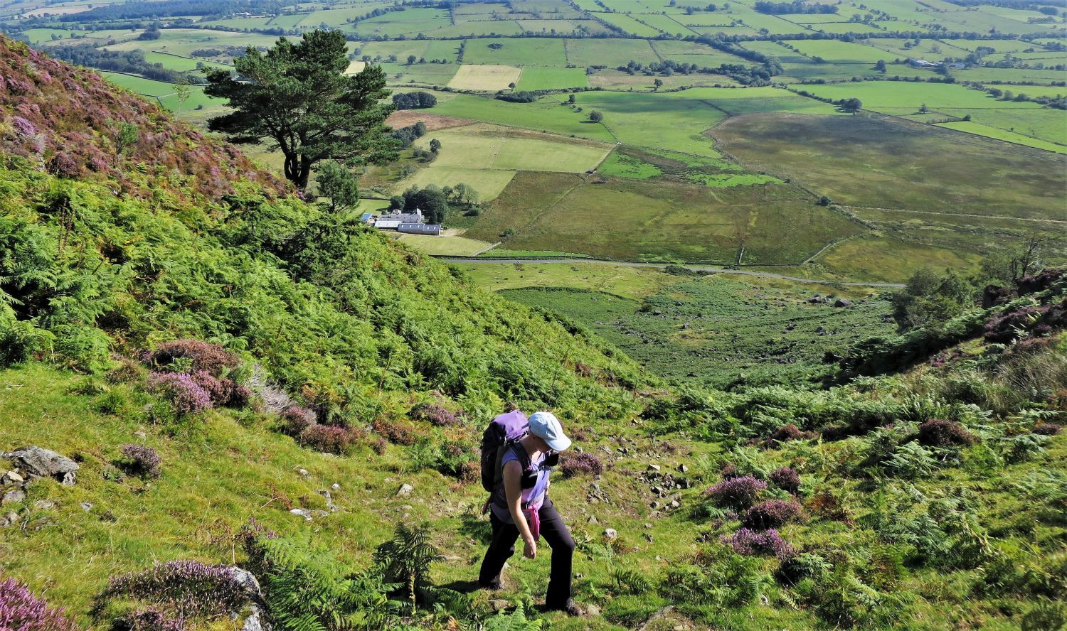
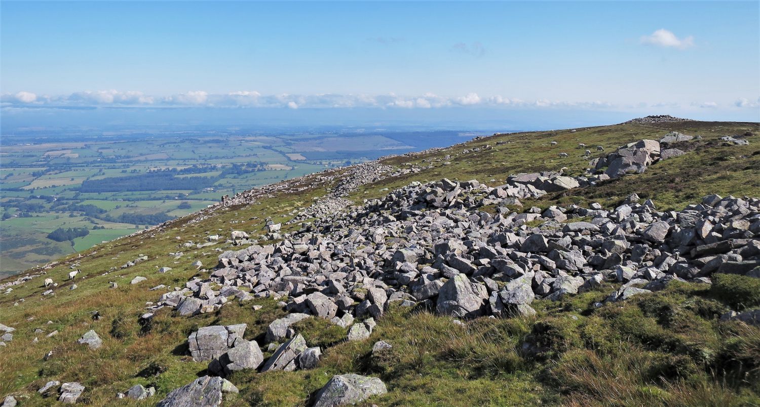
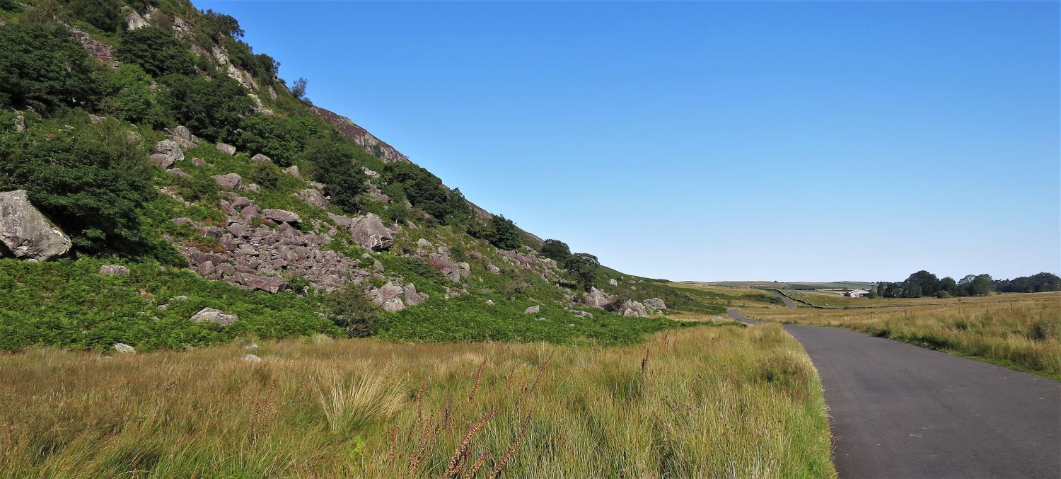 Approaching Stone Ends Farm and Mosedale Moss
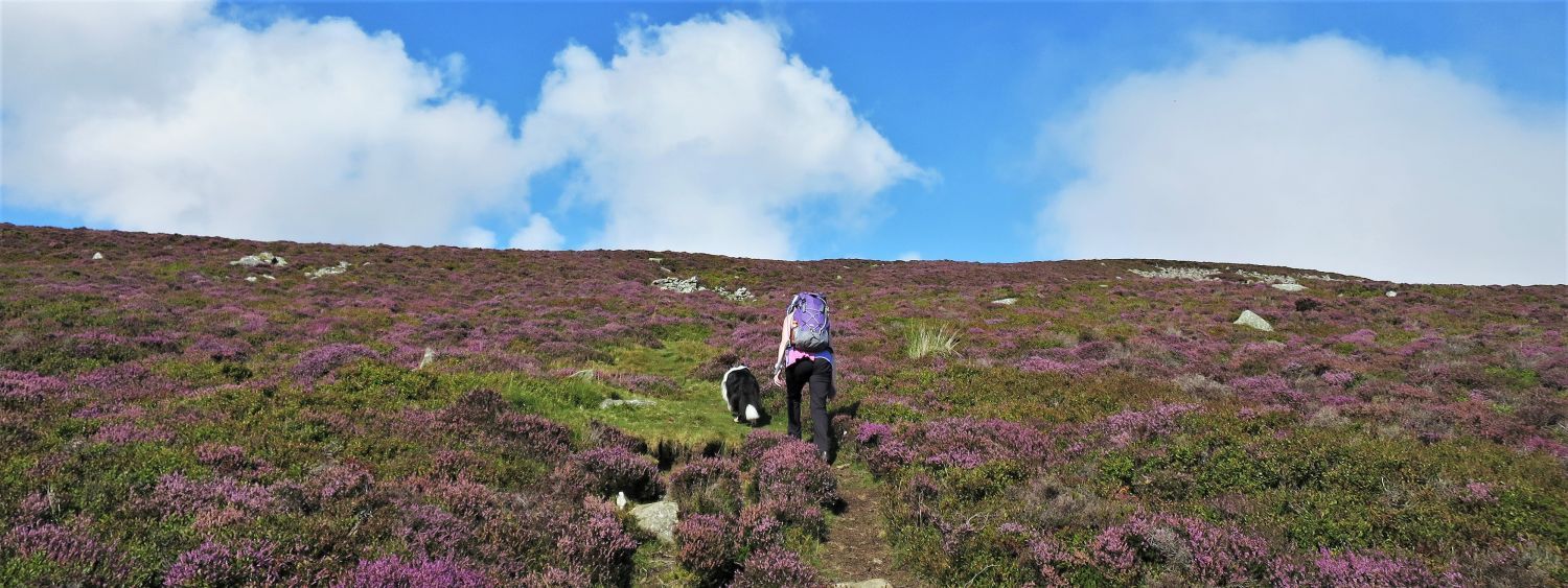
The walk along the road from Mosedale is pleasant, and without danger of continuous traffic.
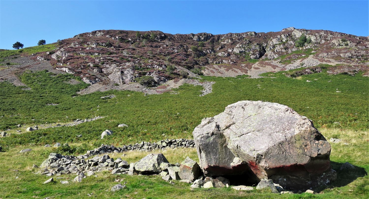
“The road from Mosedale is edged with boulders of all shapes and sizes, some big enough for climbing practice.” Carrock Fell 8
AW
 Further Gill Sike from Caldbeck Road
Further Gill Sike is clear to see from the road, however, the traverse of Rake Trod isn’t; the path, which traverses from far right to the solitary trees in the centre, is hidden amongst bracken and scree.
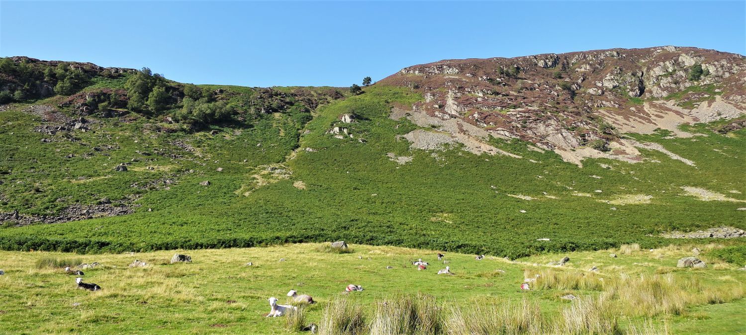
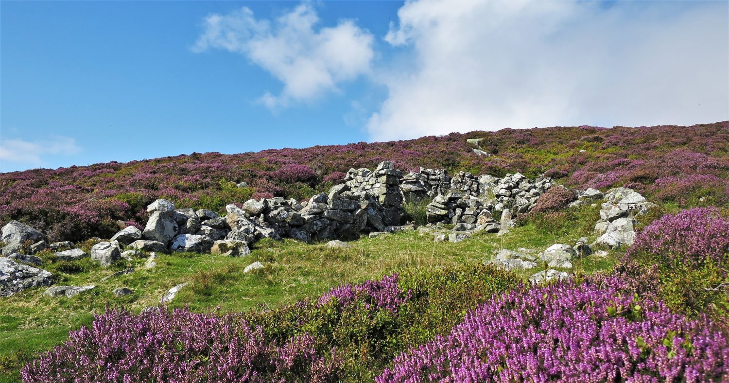
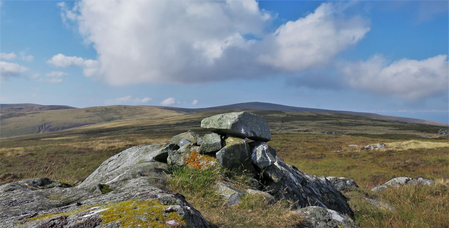
 The eastern escarpment and the “sheepfold against a boulder”
“Amongst the igneous rocks of which the fell is formed is gabbro – the stuff the Black Coolin of Skye are made of but a rarity in Lakeland. It is in evidence in the crags of the eastern escarpment and on the boulder-strewn slopes below. Gabbro is an ideal rock for climbing, and here is the one and only climbing-ground in the Northern Fells…” Carrock Fell 3
AW
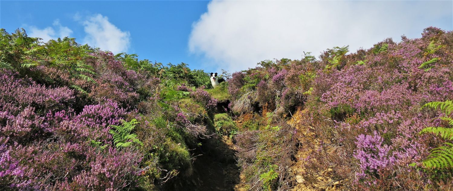
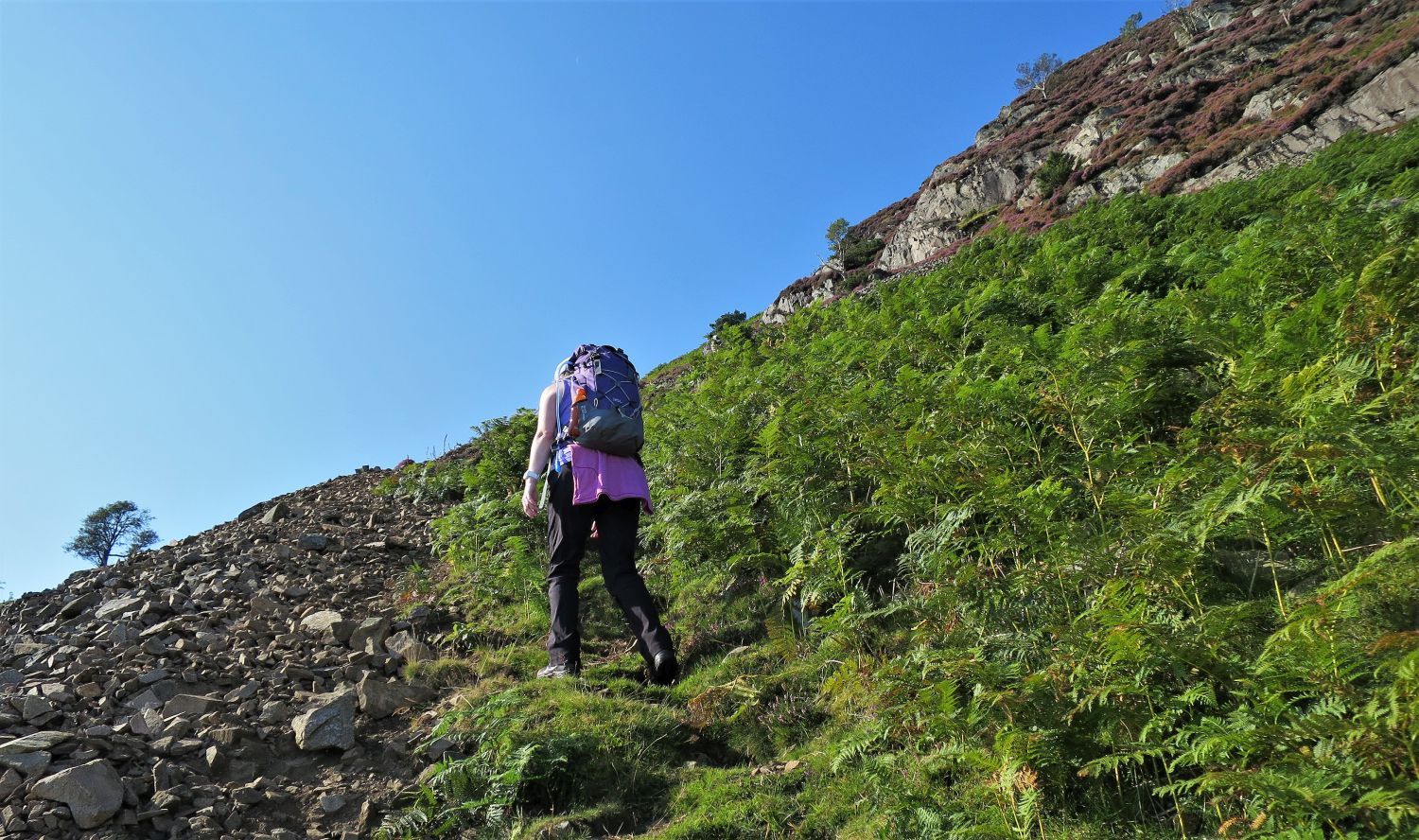 Jaclyn on Rake Trod
Once on it, Rake Trod is straightforward to follow through bracken and scree.
 Looking back to Carrock End Mine and Stone Ends Farm
“Carrock End Mine (not to be confused with Carrock Mine) has long been abandoned. Apart from general untidiness few traces remain.” Carrock Fell 8
AW
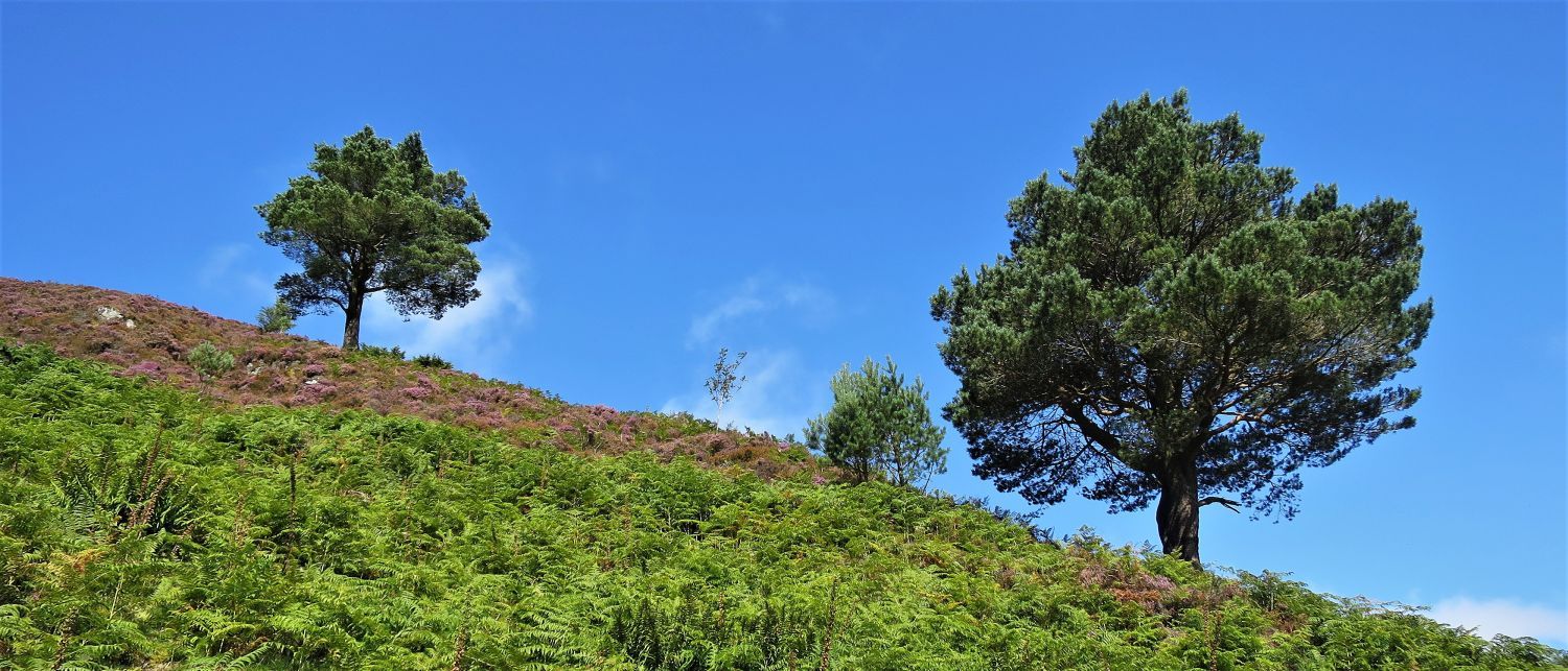 Two trees above Further Gill Sike
Remarkably, Alfred Wainwright had drawn these two trees in ‘The Northern Fells’, which was published in 1962. I love locating and photographing these small landmarks that Alfred Wainwright often included in his drawings; another example is the “sheepfold against a boulder” a few photos back on this page.
 Looking down Further Gill Sike
“The line of the gully is continued above as a shallow green hollow, suggesting a former watercourse. This gives an easy passage to the top.” Carrock Fell 8
AW
 Frankie at the top of Further Gill Sike
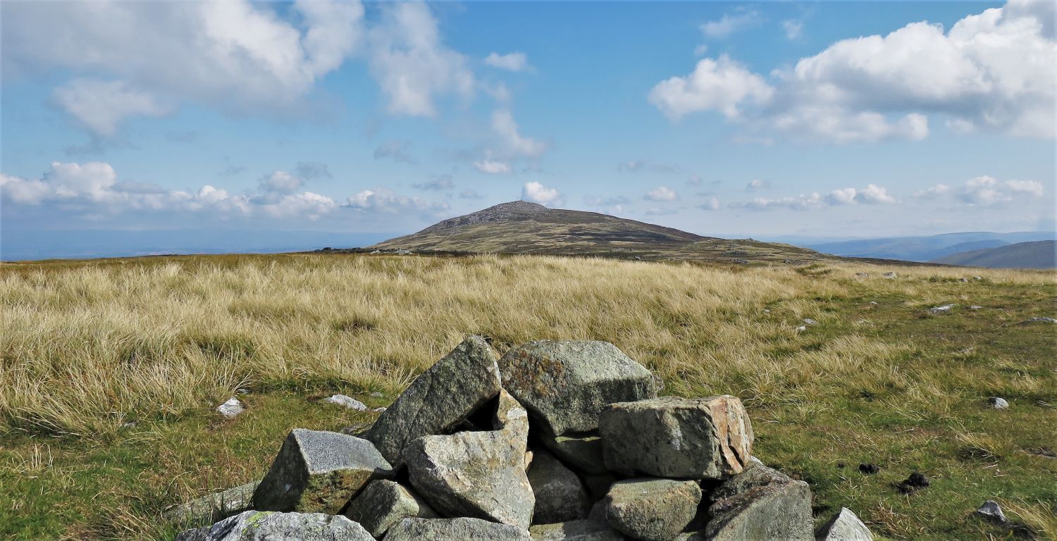
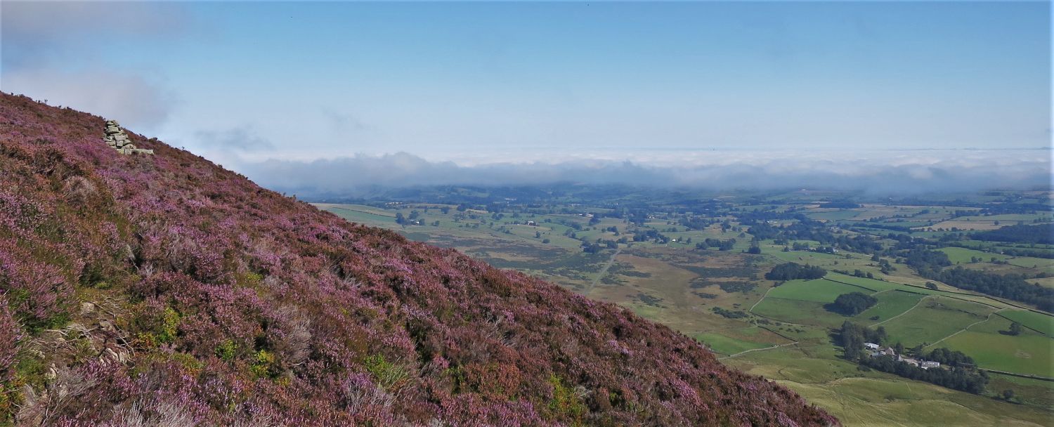 The Pennines from the eastern escarpment
“From the top of the gully a path to the right leads to a viewpoint marked by a well-made cairn overlooking the brown wastes of Black Moss and Mosedale Moss.” Carrock Fell 8
AW
 The Pennines from the ‘east viewpoint’
This is a superb spot and well worth the little detour for the views towards the Pennines. You can, if you wish, continue along this escarpment path which was included in Wainwright’s first edition, but not in Chris Jesty’s second edition. Thanks to Clive Hutchby, this old route is now brought back to life in the new ‘Walkers Edition’, and is a great alternate route to the East Peak of Carrock Fell.
 Leaving the eastern escarpment
On this occasion we chose to return back to the main path to visit the old sheepfold.
 Sheepfold on the lower plateau
Another landmark which Alfred wainwright marked on his detailed map on page: Carrock Fell 8.
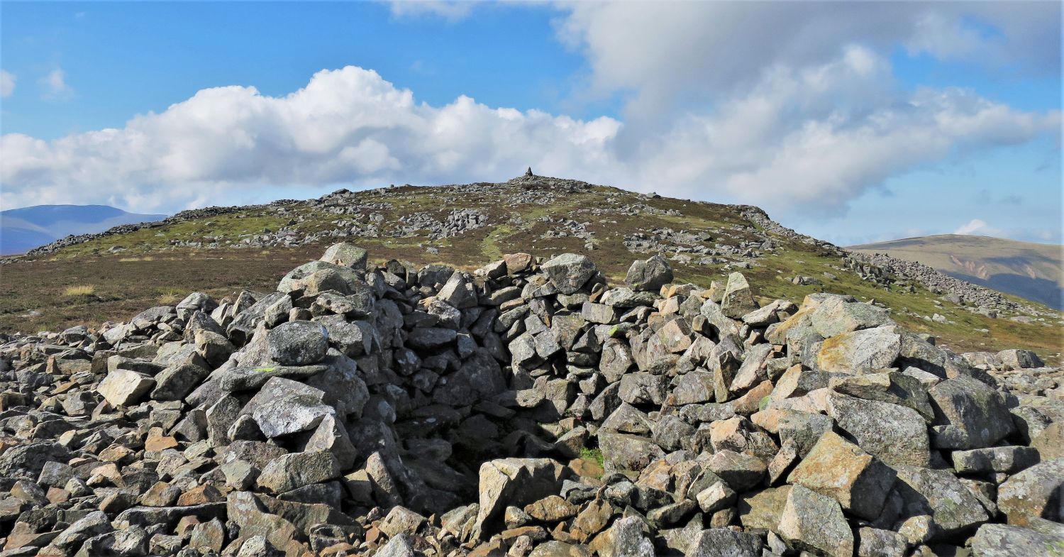
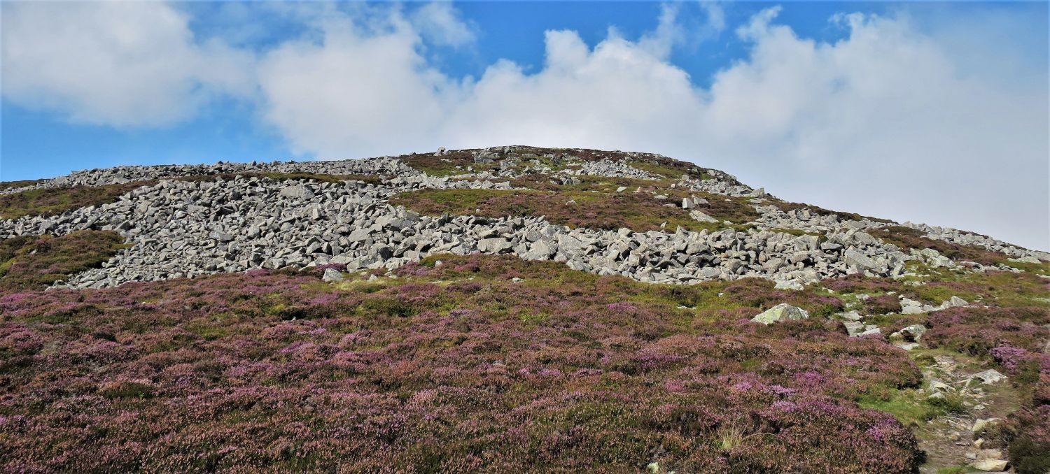 Approaching the East Peak
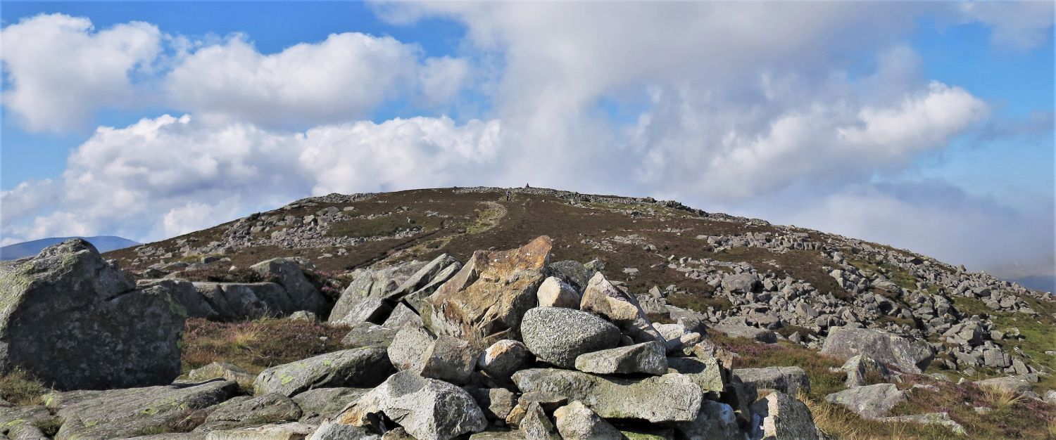 The summit of Carrock Fell (western top) from the East Peak
“The top of the fell is elliptical in plan, with a cairn on low rocks at each extremity. Draped like a necklace around the western top (the higher) is a broad band of stones, the ruined wall of the ancient fort : a continuous link except for four breaches corresponding to the main points of the compass and serving as gateways.” Carrock Fell 10
AW
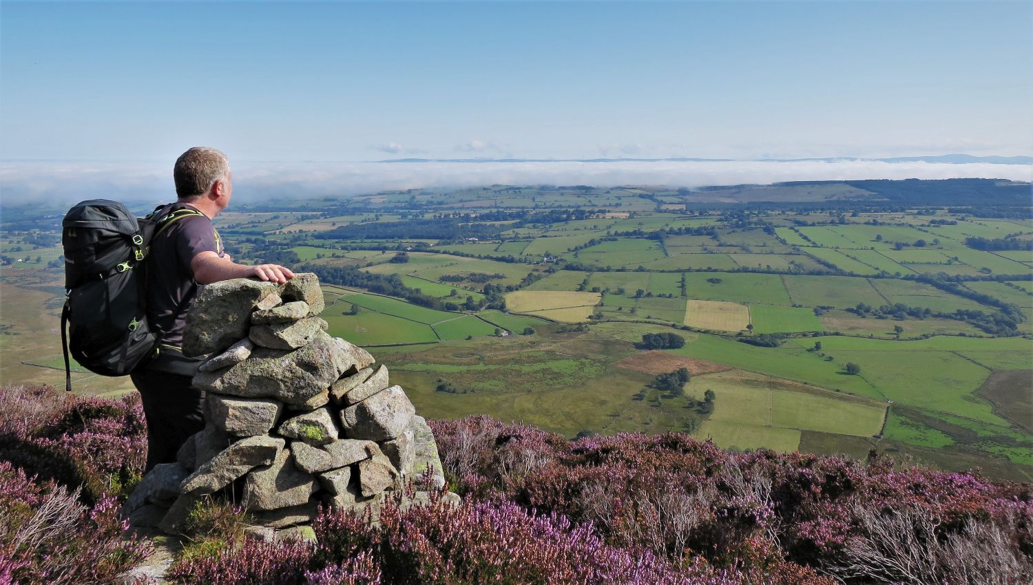
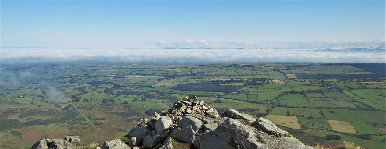 The Pennines from the summit of the East Peak
What a superb view!
“The best section of the view is eastwards, not towards Lakeland but away from it, across the wide and fertile valley of the Eden to the Pennines beyond : an extensive yet detailed scene better observed from the east peak.” Carrock Fell 12
AW
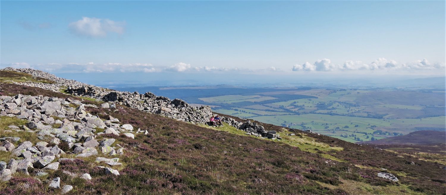
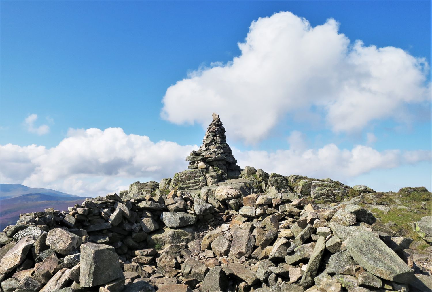
 Summit of Carrock Fell from the ‘tumulus’
After walking through the ruined wall, via the ‘east gateway’, we arrive at this wonderful shelter in the centre of the ancient fort.
“Within this wall is a heap of stones, possibly a tumulus; now hollowed out as a shelter.” Carrock Fell 10
AW
 Book Five
The Northern Fells
Carrock Fell 10
“The Summit – The collapsed walls of the fort, at the south gateway”
 The sheepfold on the south side, from the ‘south gateway’
“There is no obvious trace of buildings, and visitors should not be deceived by an enclosure on the south side, this being only a sheepfold built from the stones of the wall.” Carrock Fell 10
AW
 The north side and the ‘north gateway’
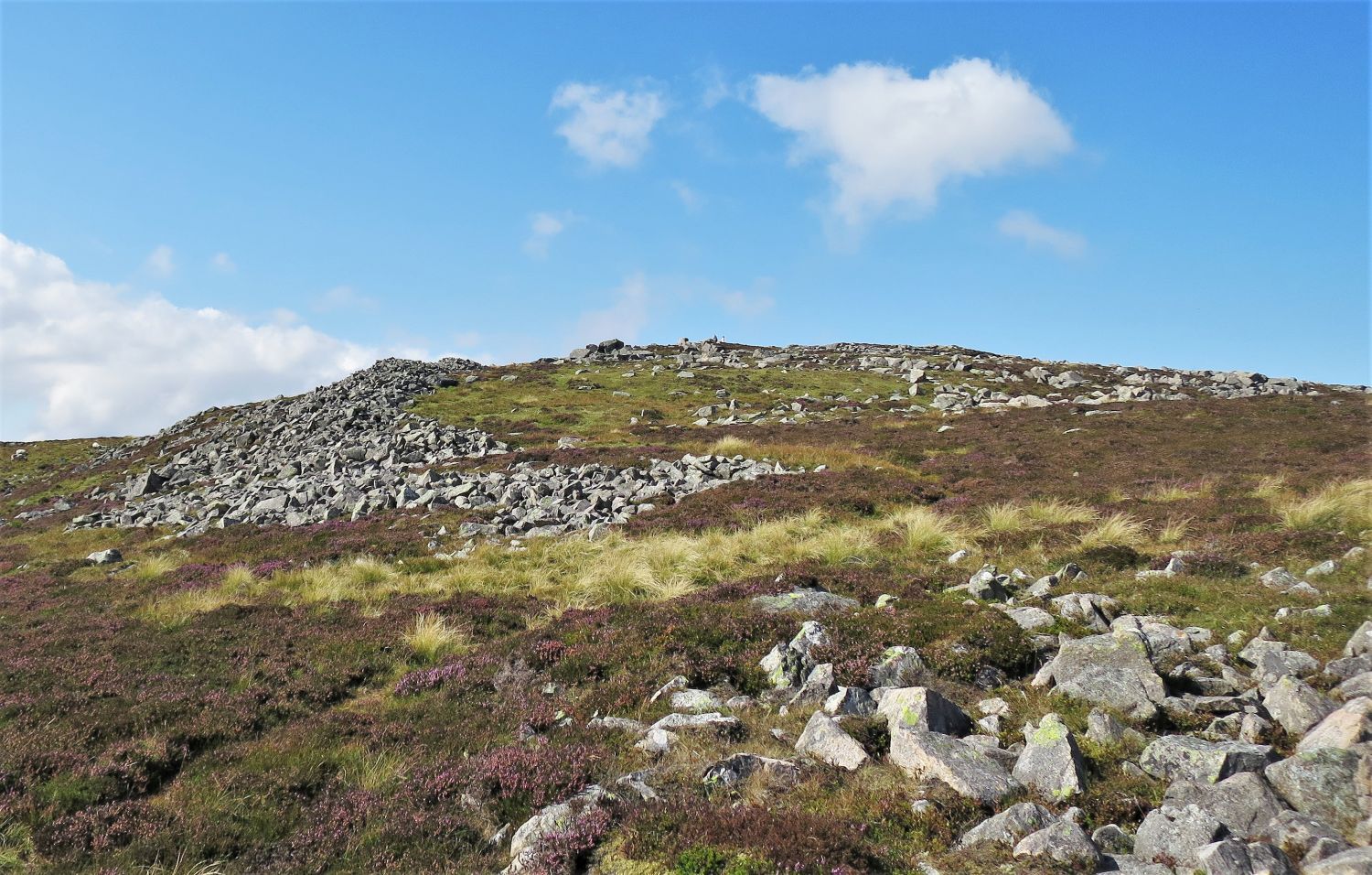
 The summit of Carrock Fell (western top)
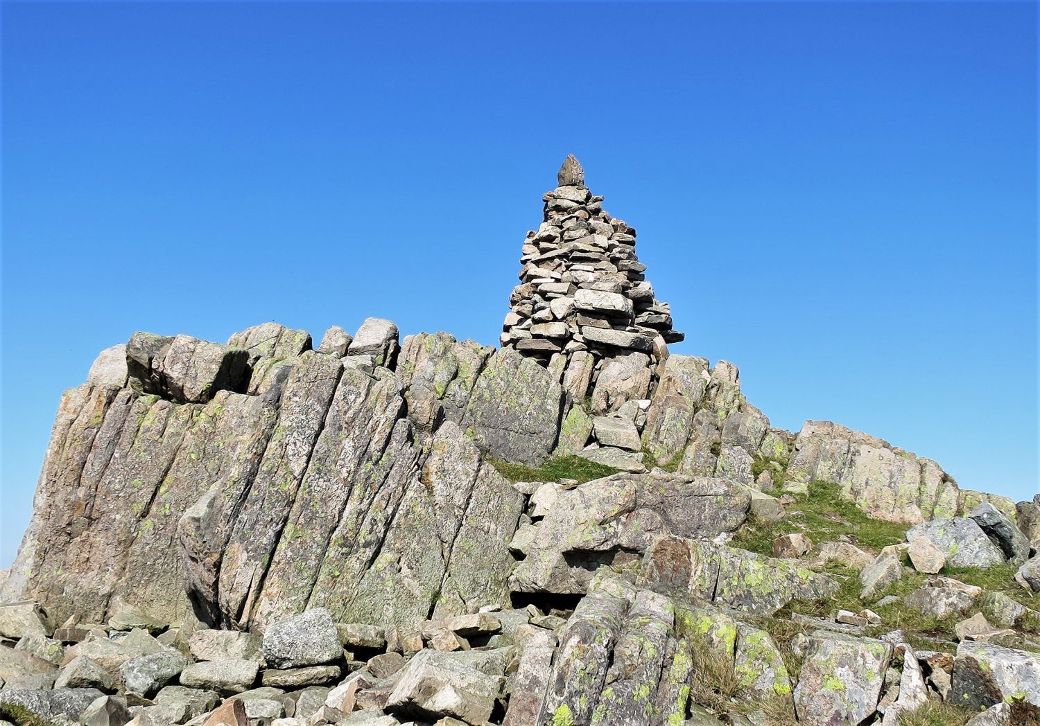 Book Five
The Northern Fells
Carrock Fell 9
“The Summit”
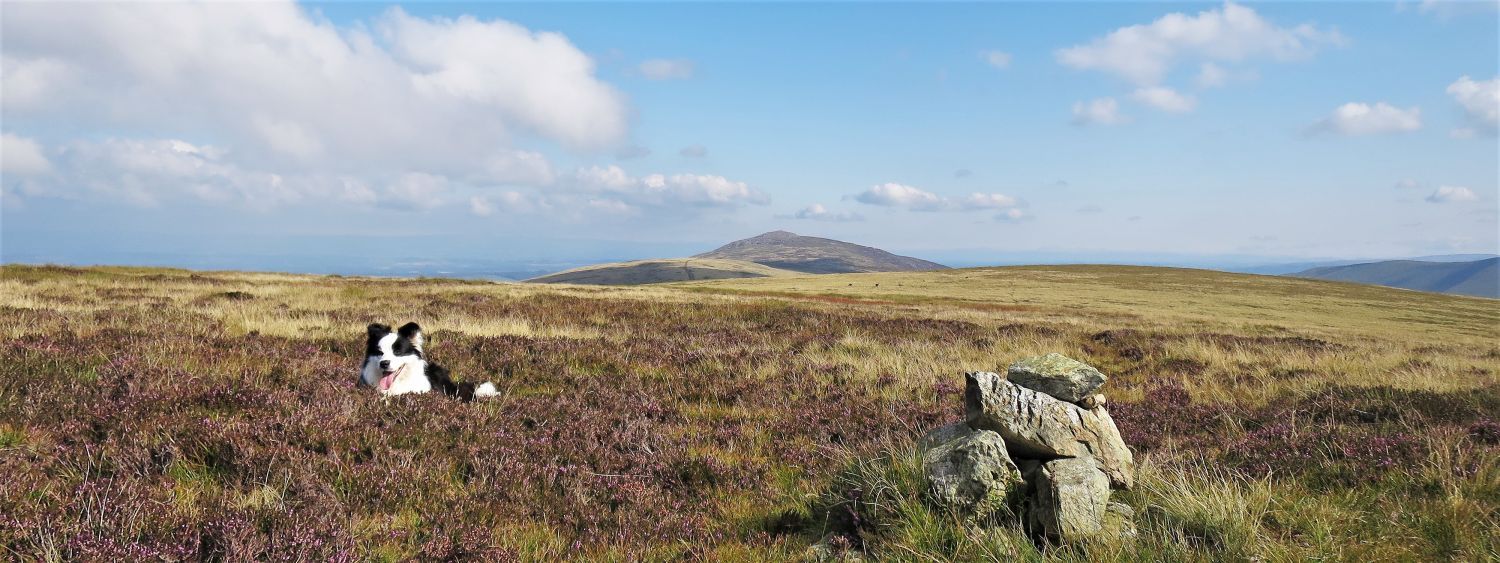
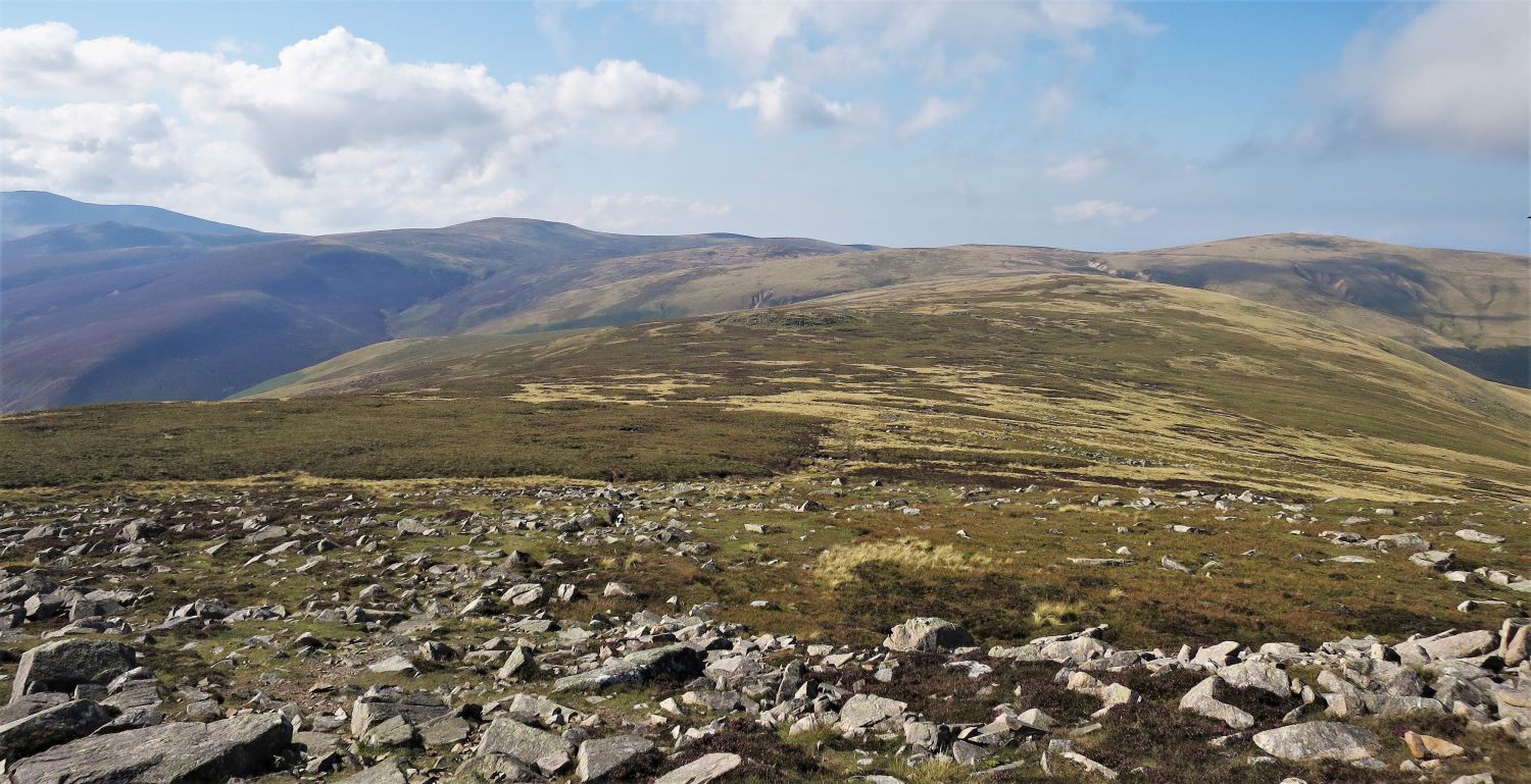 Knott (left) and High Pike (right) from Carrock Fell
We now go on a Birkett-bagging mission.
 Drygill Head and High Pike from Round Knott
I’m pleased to see that Clive Hutchby has changed the ‘Ridge Route To High Pike’ description to “The path visiting Round Knott is a welcome detour.”, from Wainwright’s “Aim first for Miton Hill, avoiding Round Knott, which is defended by marshes.” Maybe the ground has improved since Wainwright’s and Jesty’s editions? Or perhaps September is simply the best month? Either way, we found no marshy ground.
 Looking back to Carrock Fell from Miton Hill
 Looking back to Carrock Fell from Hare Stones
 Carrock Fell (left), Mosedale and Bowscale Fell (right) from Lingy Hut
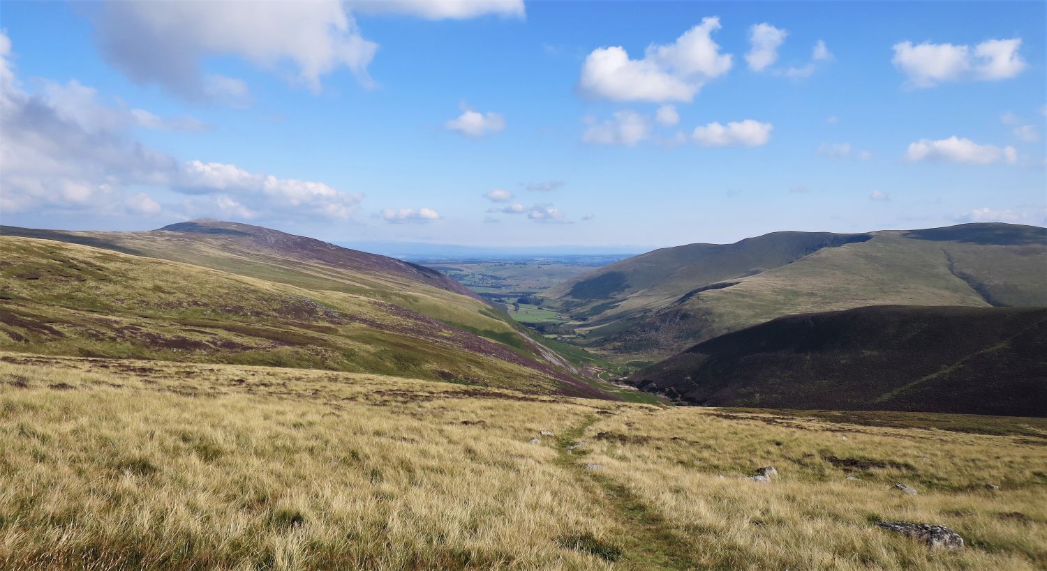
From a lunch stop at Lingy Hut, we now journey back via Grains Gill and Mosedale; this route is very pleasant.
 Mosedale from Grains Gill
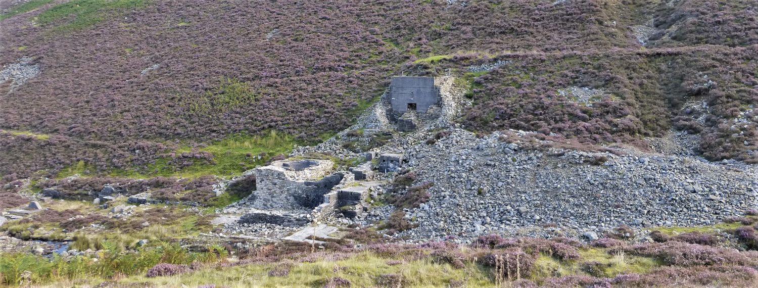 Ruins of Carrock Mine
I’m going to leave any details of Carrock Mine for another route entry, which will include Brandy Gill and an exploration of all the levels and shafts.
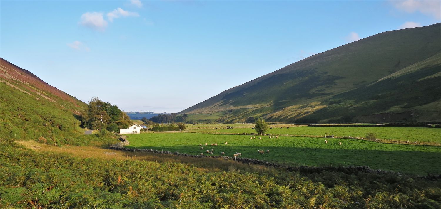 Hamlet of Swineside in Mosedale
Walking down Mosedale is a wonderful way to finish a day on the fells.
“Mosedale means dreary valley, but the name is inappropriate to the mile of emerald pastures watered by the Caldew between the hamlet and Swineside – a charming example of the result of many centuries of patient husbandry, and a typical Lakeland scene.” Carrock Fell 5
AW
Thank you for visiting.
Richard Jennings